The best walks and hikes around Camerino
4.3
(1077)
5,889
hikers
15
hikes
Hiking around Camerino offers diverse landscapes in Italy's Marche region, situated in the foothills of the Sibillini Mountains. The terrain features rolling hills, cultivated fields, and significant natural attractions like the Montelago Plateau and unique geological formations such as the Lame Rosse. Hikers can explore a variety of environments, from gentle paths through historical areas to more challenging routes within the nearby Sibillini Mountains National Park. The region is characterized by limestone formations and panoramic views.
Best hiking trails around Camerino
- The most popular hiking route is Lake Polverina loop from Beldiletto's Castle, a moderate 4.9 miles (7.9 km) trail that takes 2 hours 6 minutes to complete. This route offers scenic views around Lake Polverina.
- Another top favourite among local hikers is Piani di Montelago – Piano della Camera loop from Eremo della Madonna di Valpovera, a difficult 8.5 miles (13.7 km) path. This trail explores the Montelago Plateau, known for its diverse terrain and natural depressions.
- Local hikers also love the Basilica of San Venanzio – Camerino loop from Camerino, a 3.7 miles (5.9 km) trail leading through historical areas, often completed in about 1 hour 40 minutes.
- Hiking around Camerino is defined by rolling hills, mountain foothills, and unique geological formations. The network offers options for various ability levels, from easy strolls to difficult mountain treks.
- The routes in Camerino are highly rated by the komoot community with an average score of 4.3 stars from over 900 reviews. More than 5000 hikers have used komoot to explore Camerino's varied terrain.
Last updated: August 19, 2026
4.3
(3)
8
hikers
8.04km
02:07
70m
70m
Moderate hike. Good fitness required. Easily-accessible paths. Suitable for all skill levels.
4.3
(3)
21
hikers
5.87km
01:40
130m
130m
Easy hike. Great for any fitness level. Easily-accessible paths. Suitable for all skill levels.

Sign up for free
2.0
(1)
6
hikers
Hard hike. Very good fitness required. Sure-footedness, sturdy shoes and alpine experience required.
7
hikers
14.5km
04:15
410m
410m
Moderate hike. Good fitness required. Easily-accessible paths. Suitable for all skill levels.
5.0
(5)
4
hikers
11.9km
03:29
330m
330m
Moderate hike. Good fitness required. Easily-accessible paths. Suitable for all skill levels.
Get access to more routes and recommendations from other explorers.
Sign up for free
Already have an account?
Our route recommendations are based on thousands of hikes, rides, and runs completed by other people on komoot.
Start today with a free account
Your next adventure awaits.
Login or Signup
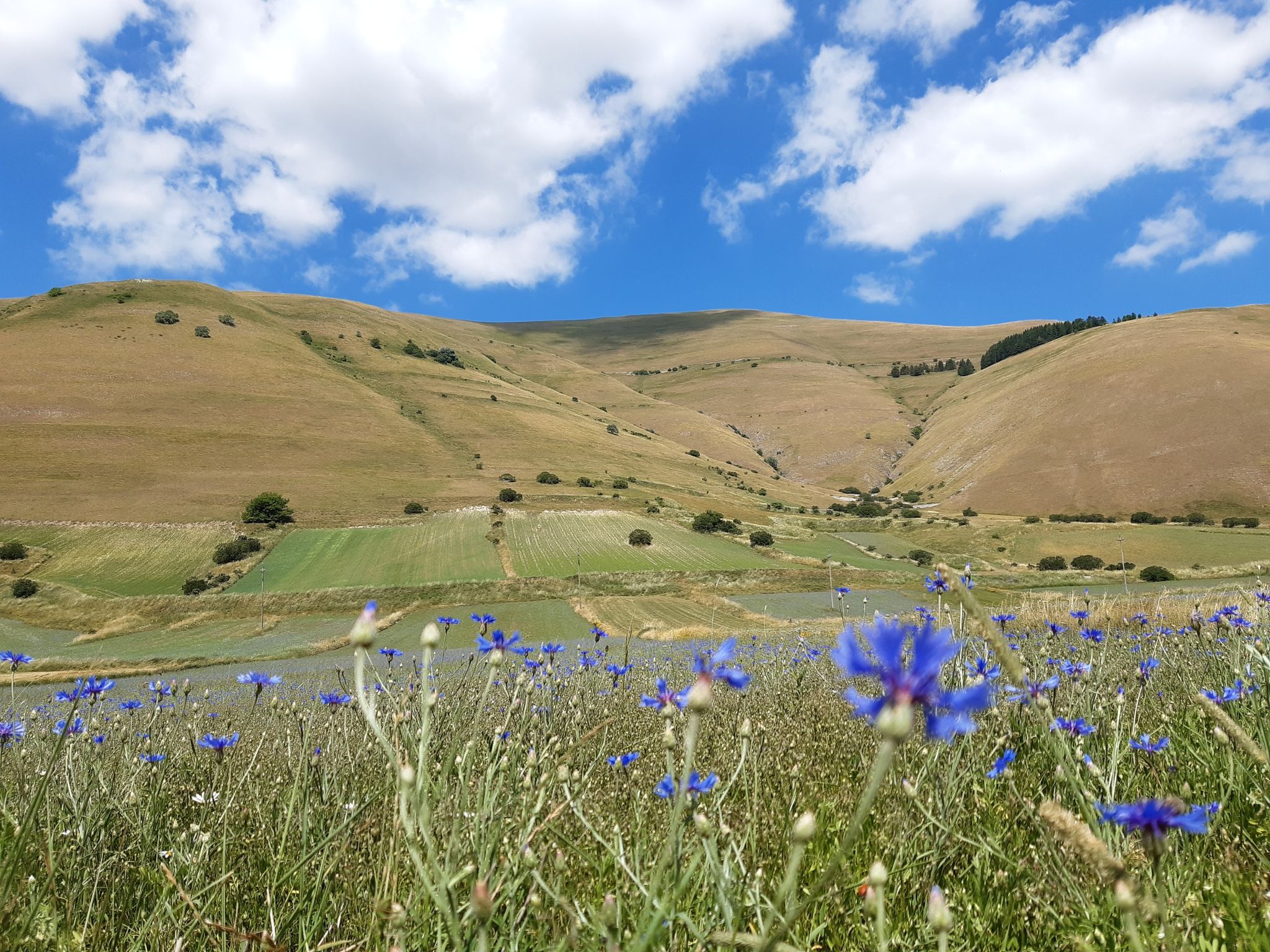
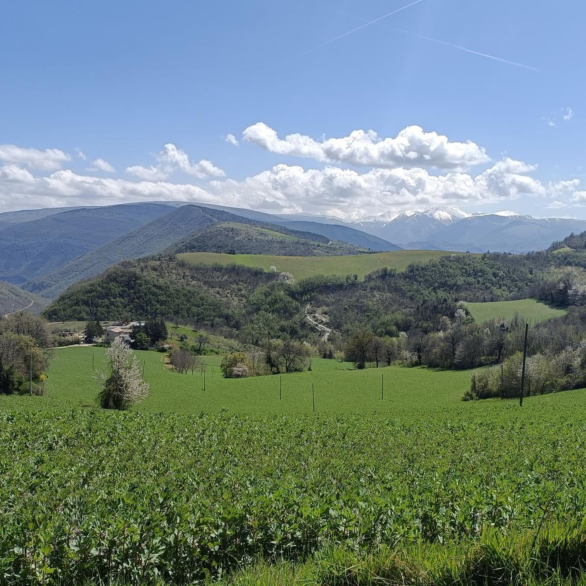
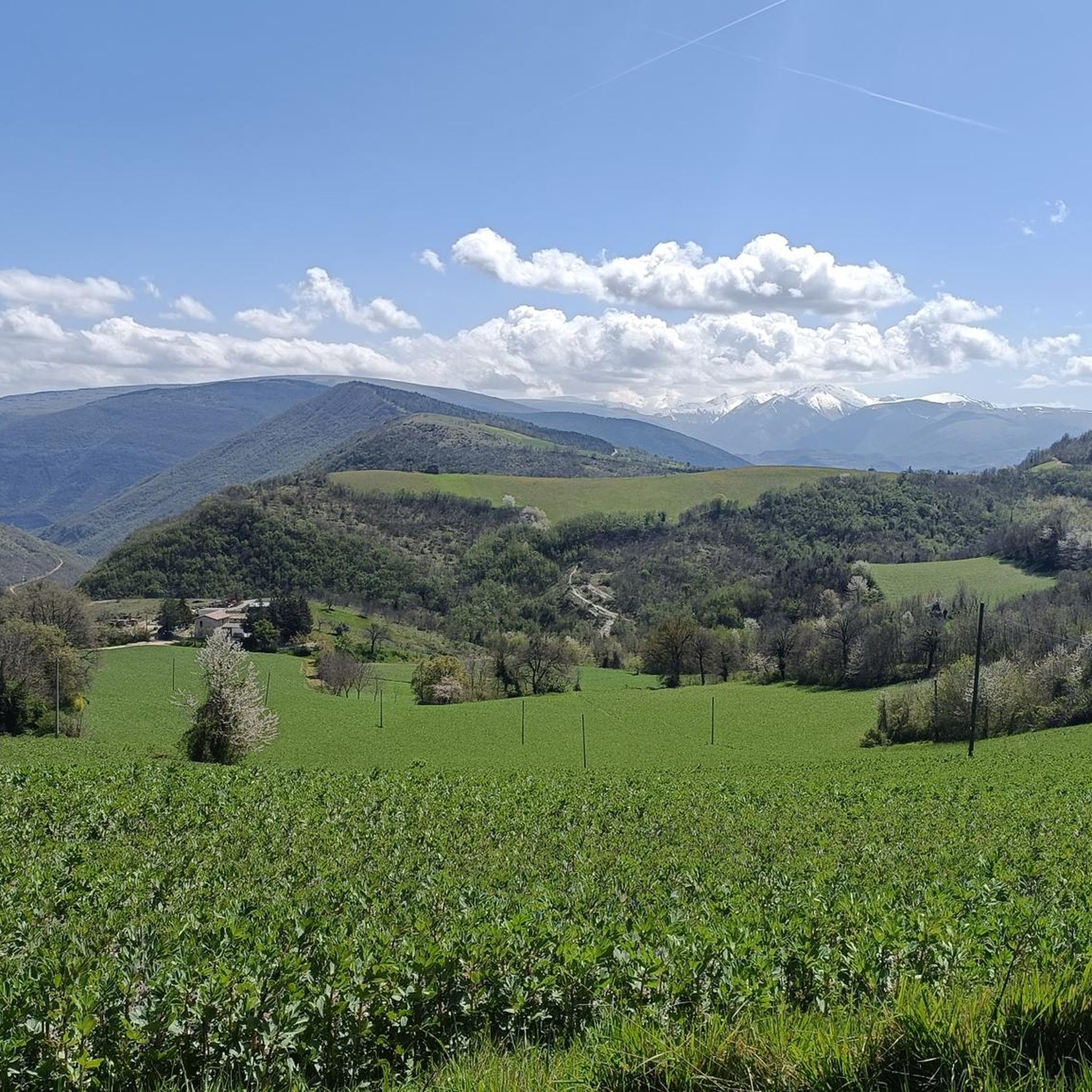
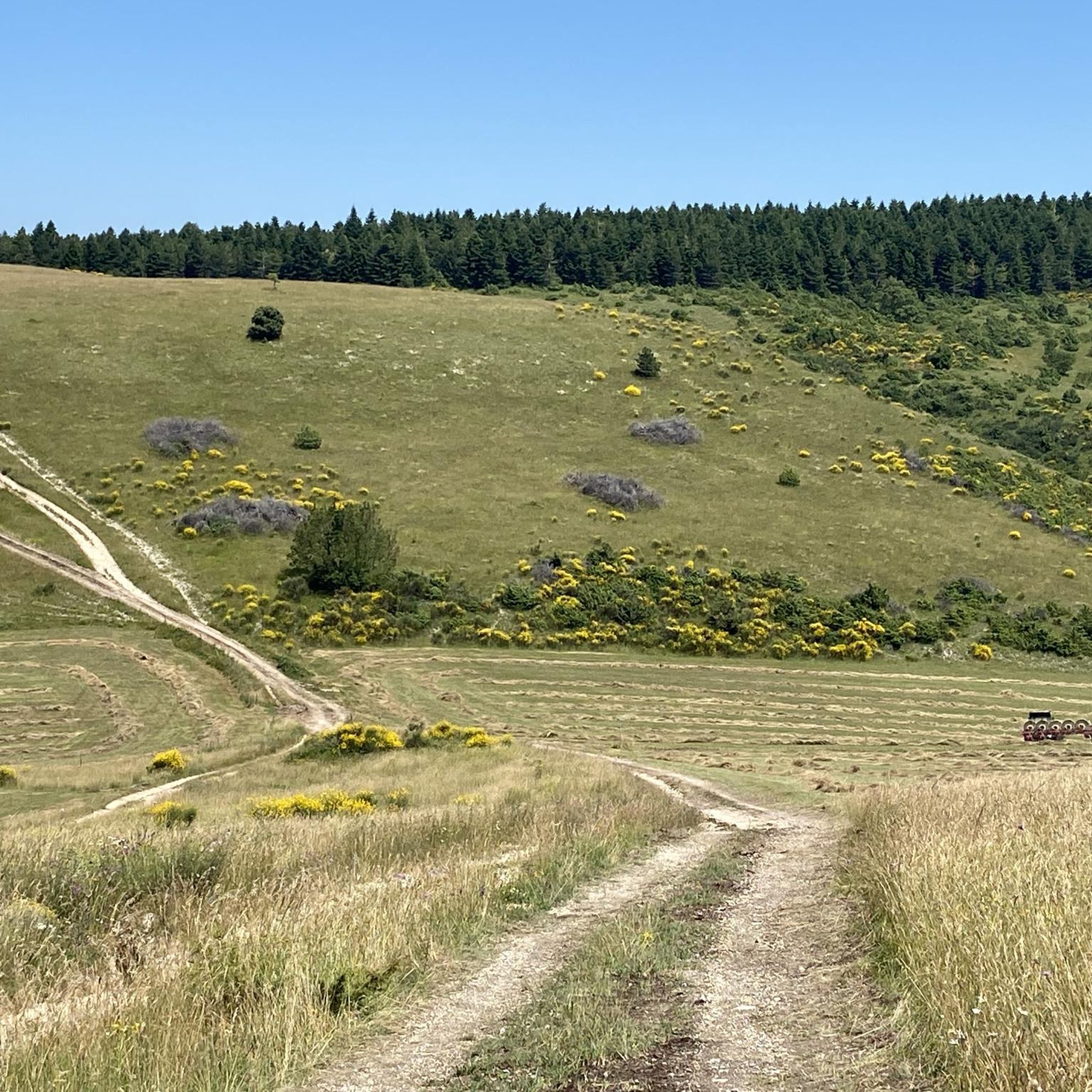

Other adventures around Camerino

Tips from the Community


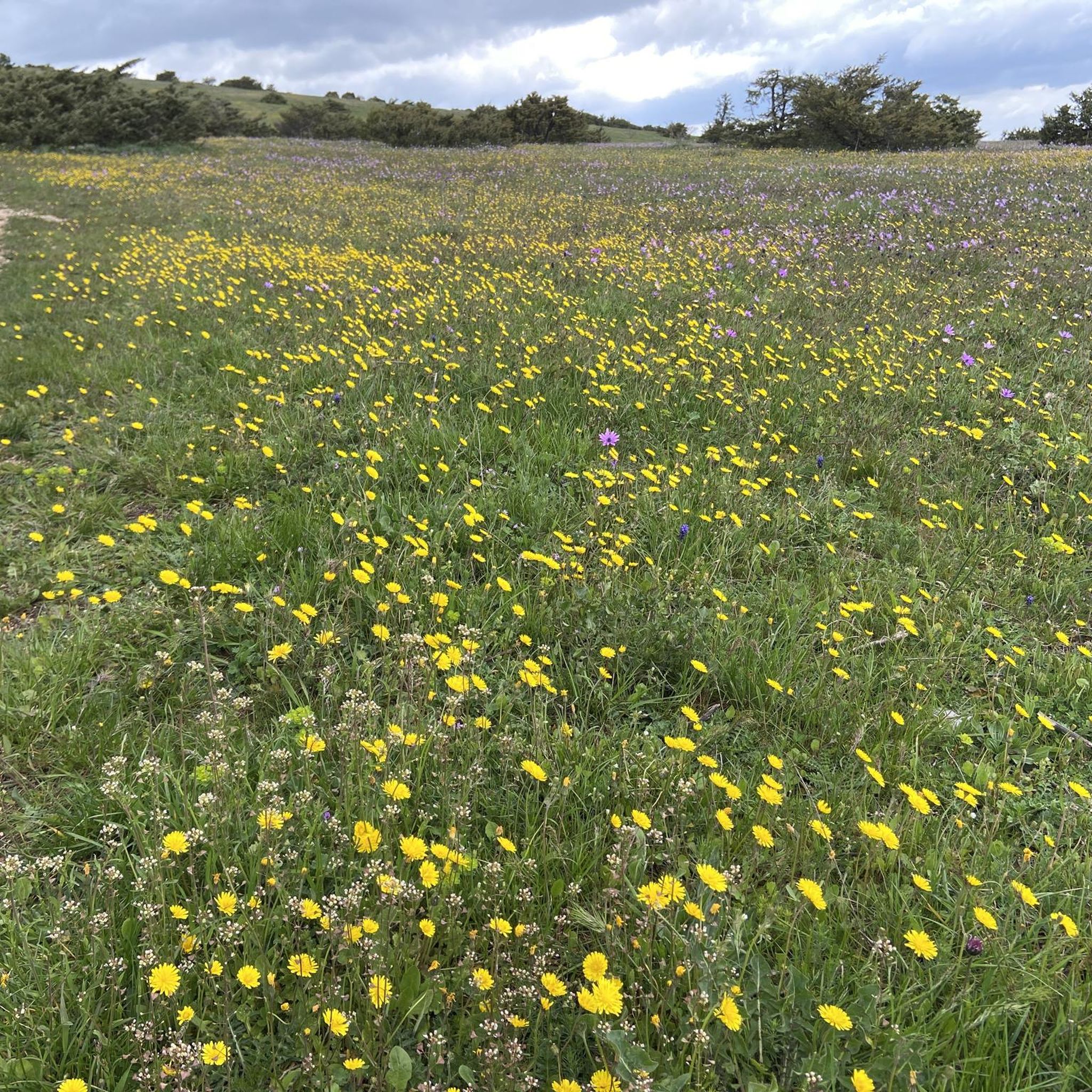
because in addition to being beautiful, especially in late spring, it is a very important site from a naturalistic, landscape and environmental point of view
0
0

The Cathedral of Camerino, which - like the entire center - was badly hit by the earthquake of 2016, so that it cannot be visited from the inside.
0
0


Not far from the top of Monte d'Aria, this pass is located at around 750 meters above sea level. Just to the south, along the road to Camerino, stood the Beregna tower, built in 1382 by Giovanni da Varano as part of a defensive line between Camerino and Matelica. Already abandoned at the end of the 17th century, it finally collapsed in the 1970s due to some earthquakes.
1
0
The Buca del Terremoto, created by the 1799 earthquake between Monte di Colleluce and Monte San Pacifico, is an enormous almost circular chasm, about 50 meters wide and 20 meters deep, presumably caused by the collapse of an underground cave. It is an imposing and truly unique place. It is possible to go all the way down, although it can be a bit dangerous.
3
0
There is a large antenna at the top of Monte d'Aria, but on the other side there is a beautiful and vast view.
1
0

Frequently Asked Questions
What kind of terrain can I expect on hikes around Camerino?
The terrain around Camerino is quite diverse, ranging from picturesque rolling hills and cultivated fields to the more rugged foothills of the Sibillini Mountains. You'll find paths suitable for gentle strolls, as well as more challenging routes with significant elevation changes, particularly towards the Montelago Plateau and Monte Primo. The area is characterized by limestone formations and offers a variety of landscapes.
Are there any unique natural landmarks to discover while hiking near Camerino?
Yes, the region boasts several unique natural landmarks. You can explore the dramatic geological formations of the Lame Rosse, often called the 'Canyon of Le Marche,' near Lake Fiastra. The Montelago Plateau features natural depressions that can flood, creating a distinctive landscape. Additionally, the prominent Monte Primo stands out with its vertical limestone walls overlooking the Potenza and Scarzito Valleys, offering spectacular views.
What is the best time of year to go hiking in Camerino?
The Marche region, including Camerino, generally offers pleasant hiking conditions from spring through autumn. Spring brings blooming wildflowers and mild temperatures, while autumn provides comfortable weather and vibrant foliage. Summer can be warm, especially at lower elevations, but higher mountain trails offer cooler air. Winter hiking is possible but may require specific gear and experience, particularly in the Sibillini Mountains.
Are there any easy or family-friendly hiking trails in the area?
Yes, Camerino offers several easy routes suitable for families or those looking for a relaxed walk. An example is the Basilica of San Venanzio – Camerino loop from Camerino, which is an easy 3.7-mile (5.9 km) trail leading through historical areas. The rolling hills and cultivated fields around Camerino also provide gentler paths for enjoyable strolls.
Can I bring my dog on the hiking trails around Camerino?
Many trails in the Camerino area are dog-friendly, allowing you to enjoy the outdoors with your canine companion. However, it's always recommended to keep dogs on a leash, especially in protected areas like the Sibillini Mountains National Park, to protect wildlife and ensure the safety of other hikers. Always carry water for your dog and clean up after them.
Are there any circular hiking routes available?
Yes, many of the routes around Camerino are designed as circular loops, allowing you to start and end at the same point without retracing your steps. Examples include the popular Lake Polverina loop from Beldiletto's Castle and the more challenging Piani di Montelago – Piano della Camera loop. These loops offer diverse scenery throughout your journey.
What do other hikers say about the trails in Camerino?
The hiking routes in Camerino are highly regarded by the komoot community, with an average rating of 4.3 stars from over 900 reviews. More than 5000 hikers have used komoot to explore the varied terrain. Reviewers often praise the diverse landscapes, from historical paths to mountain views, and the options available for different fitness levels.
Are there any multi-day hiking or pilgrimage routes that pass through Camerino?
Yes, Camerino is a point along significant multi-day hiking and pilgrimage paths in the Le Marche region. These include the 'Cammino Francescano della Marca,' which connects Umbria and Marche, and the 'Cammino dei Cappuccini.' These routes traverse protected natural areas, mountain plateaus, forests, and historic towns, offering a deeper immersion into the region's culture and nature. For more information on these routes, you can visit visitlemarche.com.
Are there any waterfalls to see on hikes near Camerino?
Yes, the area around Camerino features some beautiful waterfalls. You can explore trails like the Sant'Angelo Stream Trail or visit the charming The Little Waterfalls of the Elves. Another notable spot is the Valcaldara Waterfall (Le Vene), offering picturesque natural scenery.
Is public transport available to reach hiking trailheads near Camerino?
While Camerino itself is accessible, reaching specific trailheads in the more remote natural areas, especially within the Sibillini Mountains National Park or to places like the Montelago Plateau, often requires a car. Public transport options might be limited for direct access to many hiking starting points, so planning your transport in advance is advisable.
Where can I find parking for hiking trails around Camerino?
Parking availability varies by trailhead. For routes starting directly from Camerino, such as the Basilica of San Venanzio – Camerino loop, you can often find parking within the town. For trails further afield, like the Lake Polverina loop from Beldiletto's Castle or those in the Montelago Plateau, designated parking areas are usually available near the starting points, though they might be smaller in more remote locations.
Most popular attractions around Camerino

Get inspired with the komoot mobile app


Explore more
Browse the best Hikes in other regions.
