The best walks and hikes around Sondheim vor der Rhön
4.6
(17331)
61,512
hikers
30
hikes
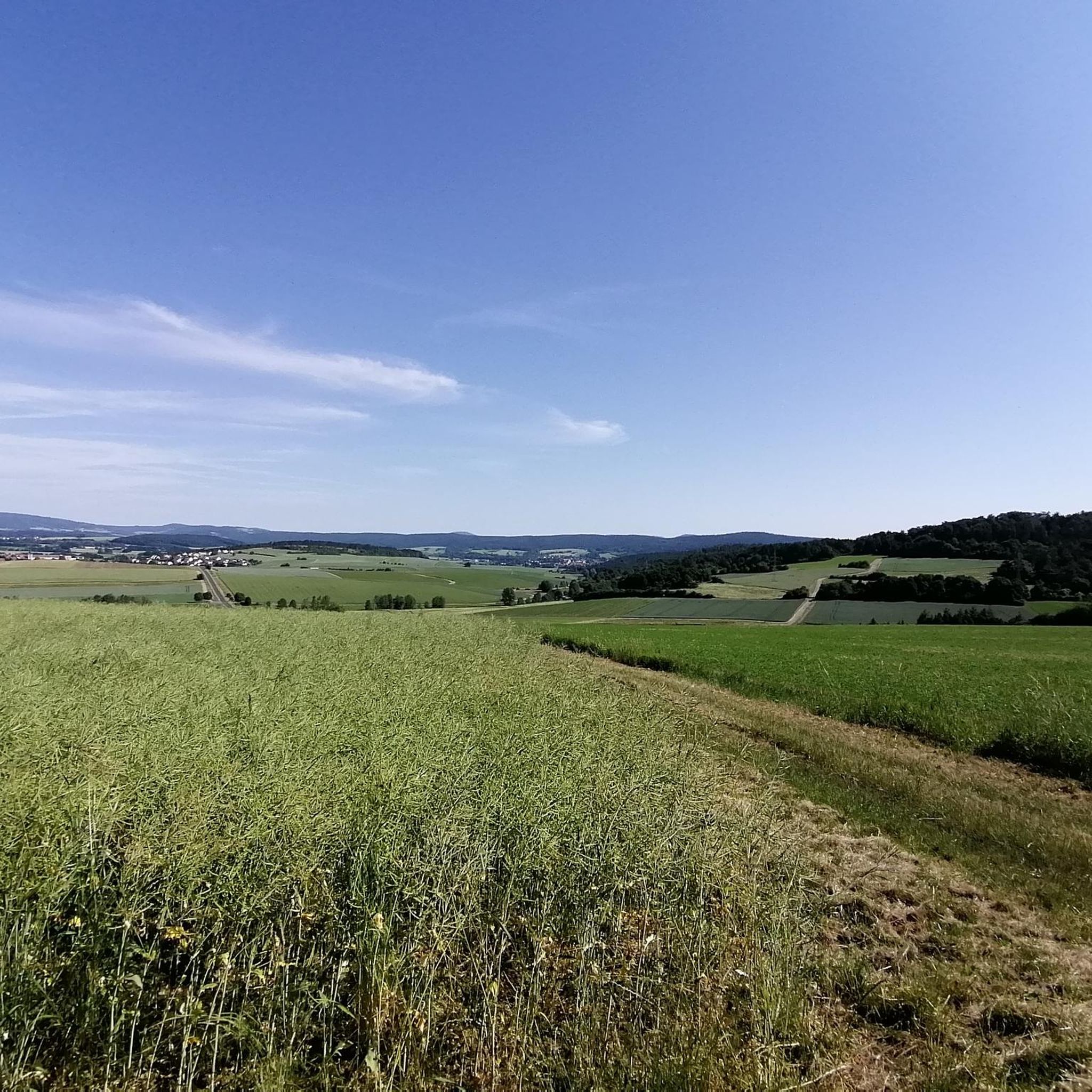
Hiking around Sondheim vor der Rhön offers a diverse landscape characterized by rolling hills, dense woodlands, and scenic river valleys. The region features varied terrain, including gentle paths along streams and more challenging ascents to elevated viewpoints. Hikers can explore areas with geological features like basalt cliffs and open meadows. The trails provide opportunities to experience the natural environment of the Rhön.
Best hiking trails around Sondheim vor der Rhön
- The most popular hiking route is Beaver Dam on the…
Last updated: July 11, 2026
4.9
(8)
41
hikers
Easy hike. Great for any fitness level. Easily-accessible paths. Suitable for all skill levels.
4.4
(5)
19
hikers
Moderate hike. Good fitness required. Easily-accessible paths. Suitable for all skill levels.

Sign up for free
5.0
(3)
15
hikers
6.30km
01:50
170m
170m
Easy hike. Great for any fitness level. Easily-accessible paths. Suitable for all skill levels.
4.2
(5)
25
hikers
Moderate hike. Good fitness required. Easily-accessible paths. Suitable for all skill levels.
5.0
(2)
9
hikers
Moderate hike. Good fitness required. Easily-accessible paths. Suitable for all skill levels.
Get access to more routes and recommendations from other explorers.
Sign up for free
Already have an account?
Our route recommendations are based on thousands of hikes, rides, and runs completed by other people on komoot.
Start today with a free account
Your next adventure awaits.
Login or Signup
Tips from the Community

Unfortunately, there has been no ice in Sondheim since '26 :-(
0
0
The ringleaders can cool their feet :-)
0
0

The Süsselbach is beaver country
0
0
The old elementary school was built with Marshall Plan funds in the early 1950s. Today, it houses a special needs school. The name derives from the then district administrator and former mayor of Ostheim vor der Rhön, Dr. Alfred Hauser.
0
0

The ice cream parlor is currently closed
0
0
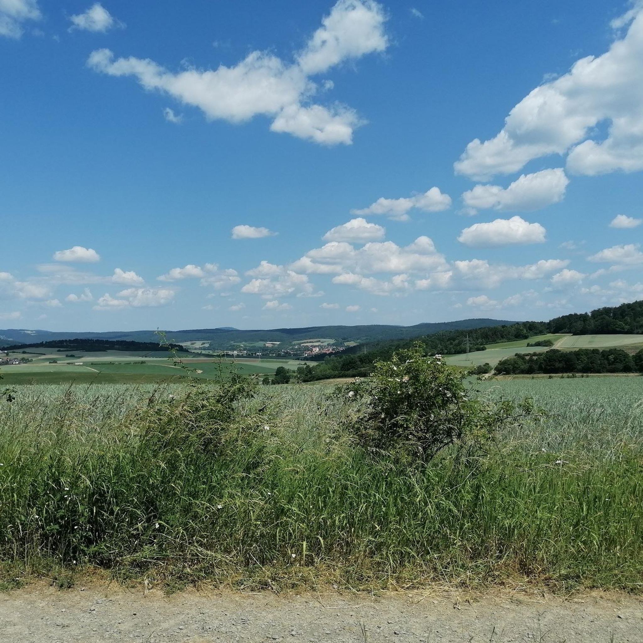
In May, beautiful greenery lines the path at Bremelsleite
0
0
Frequently Asked Questions
How many hiking trails are available around Sondheim vor der Rhön?
There are over 30 hiking routes around Sondheim vor der Rhön, catering to various skill levels. You'll find a good mix of easy, moderate, and a few more challenging trails to explore the diverse landscape.
What makes hiking in Sondheim vor der Rhön unique?
The region is characterized by its rolling hills, dense woodlands, and scenic river valleys, offering a diverse natural experience. Hikers can encounter geological features like basalt cliffs and expansive open meadows, typical of the Rhön Biosphere Reserve.
Are there easy hiking trails suitable for beginners or casual walkers?
Yes, nearly half of the trails, specifically 14 routes, are rated as easy. An excellent option is the Beaver Dam on the Süsselbach – Bench with a view of Nordheim loop from Sondheim vor der Rhön, which is 3.3 miles (5.2 km) long and offers pleasant views and wildlife spotting opportunities.
Can I find more challenging hikes with significant elevation gain?
While most trails are easy to moderate, there are routes that offer more significant elevation gain. For a moderate challenge, consider the Rother Kuppe Observation Tower – Basalt Cliffs at Silbersee loop from Sondheim vor der Rhön, which covers 9.8 miles (15.8 km) and includes over 360 meters of ascent, leading to notable geological features.
Are there circular hiking routes available?
Many of the trails around Sondheim vor der Rhön are designed as circular routes, allowing you to start and end at the same point. The Zehntberg – Pfingstwiese Sondheim loop from Sondheim vor der Rhön is a popular 5.0 miles (8.1 km) circular trail through hills and meadows.
Is it possible to reach hiking trails around Sondheim vor der Rhön by public transport?
Public transport options in the Rhön region can be limited, especially for reaching trailheads directly. It's advisable to check local bus schedules in advance, as services might be infrequent, particularly on weekends or to more remote starting points. Many hikers opt for personal vehicles.
Where can I find parking for hiking trails in Sondheim vor der Rhön?
Parking is generally available in and around Sondheim vor der Rhön, often near village centers or designated trailheads. Specific parking information for individual routes can usually be found on the komoot tour pages or local signage. Always ensure you park responsibly and respect local regulations.
Are there family-friendly hiking options in Sondheim vor der Rhön?
Yes, the region offers several family-friendly trails, particularly the easier, shorter loops with minimal elevation. These paths are often well-maintained and pass through interesting natural areas, providing a pleasant experience for all ages. Look for trails marked as 'easy' in the komoot guide.
Can I bring my dog on the hiking trails around Sondheim vor der Rhön?
Most hiking trails in the Rhön region are dog-friendly, but it's essential to keep your dog on a leash, especially in nature reserves, near livestock, or in areas with wildlife. Always carry water for your pet and clean up after them. Check specific trail regulations if you plan to visit a designated nature protection area.
What is the best time of year to go hiking in Sondheim vor der Rhön?
The best time for hiking in Sondheim vor der Rhön is typically from spring to autumn (April to October). Spring brings blooming meadows, summer offers lush greenery, and autumn showcases vibrant foliage. Each season provides a unique charm, though summer can be warmer and more crowded.
Are there opportunities for winter hiking?
Yes, winter hiking is possible, especially on cleared or well-trodden paths. The Rhön landscape can be particularly beautiful under snow. However, be prepared for colder temperatures, potentially icy conditions, and shorter daylight hours. Some trails might be less accessible, so check conditions beforehand.
What natural attractions or landmarks can I see while hiking?
While hiking, you can explore various natural monuments and unique landscapes. Highlights include the Boardwalk Trail Through the Rotes Moor, the serene Moor lake in the Red Moor, and the Schwarzes Moor Nature Trail. These areas offer insights into the unique bog ecosystems of the Rhön.
What do other hikers say about the trails in Sondheim vor der Rhön?
The trails around Sondheim vor der Rhön are highly rated by the komoot community, with an average score of 4.8 stars from over 2,800 reviews. Hikers often praise the well-maintained paths, the peaceful atmosphere of the woodlands, and the diverse scenery that makes each route enjoyable.
Most popular routes around Sondheim vor der Rhön
Most popular attractions around Sondheim vor der Rhön

Get inspired with the komoot mobile app


Explore more
Browse the best Hikes in other regions.
