The best walks and hikes around Corio
4.5
(387)
1,986
hikers
47
hikes
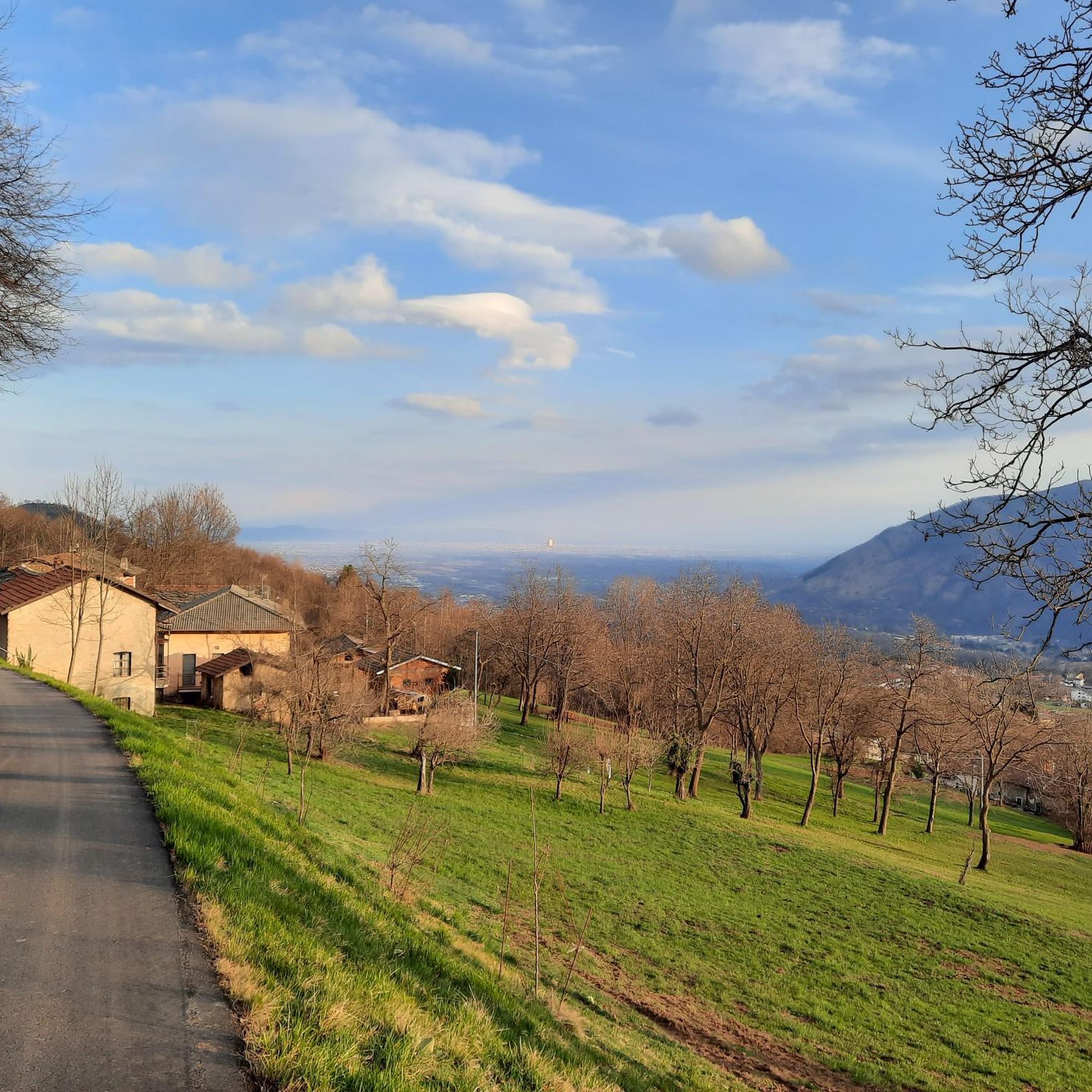
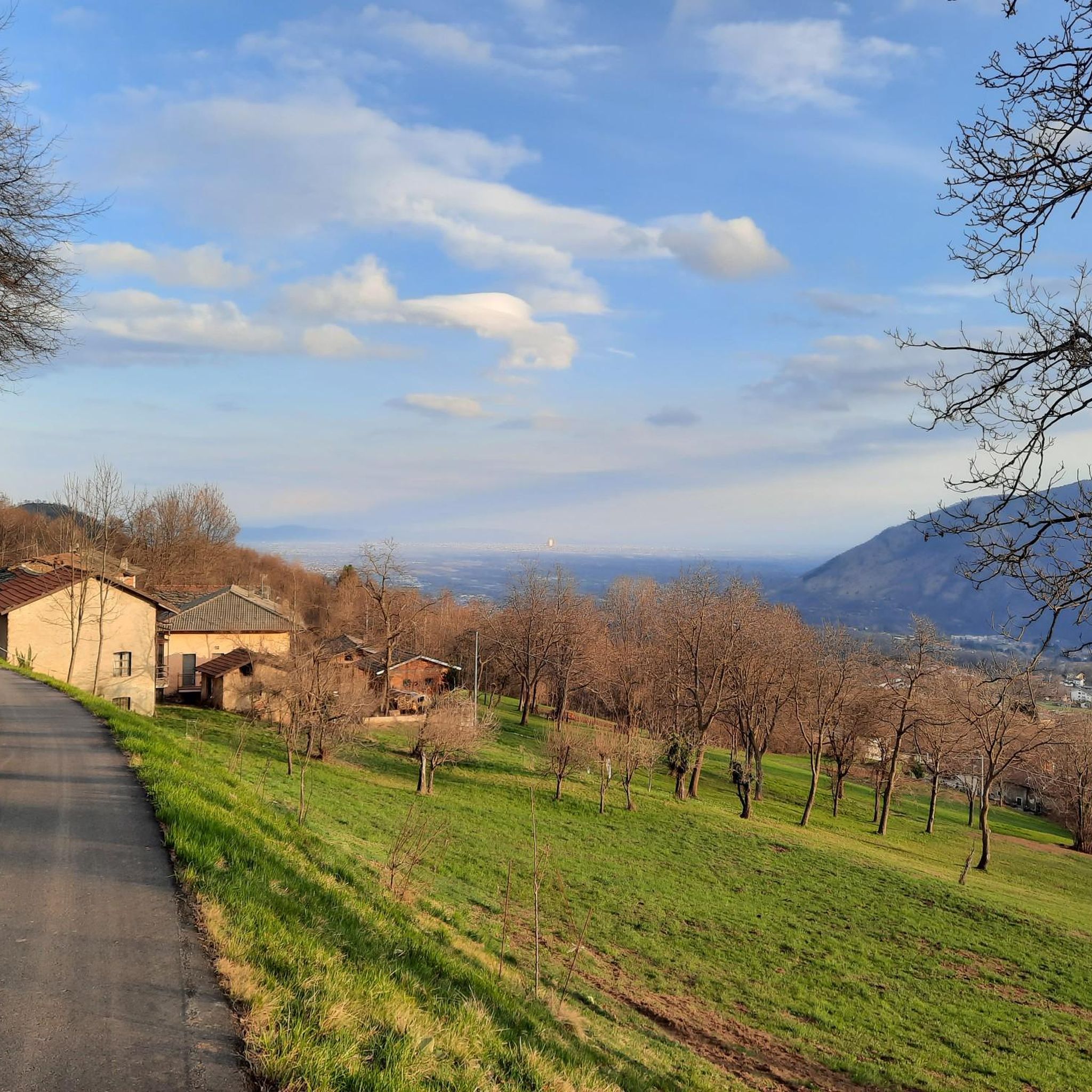
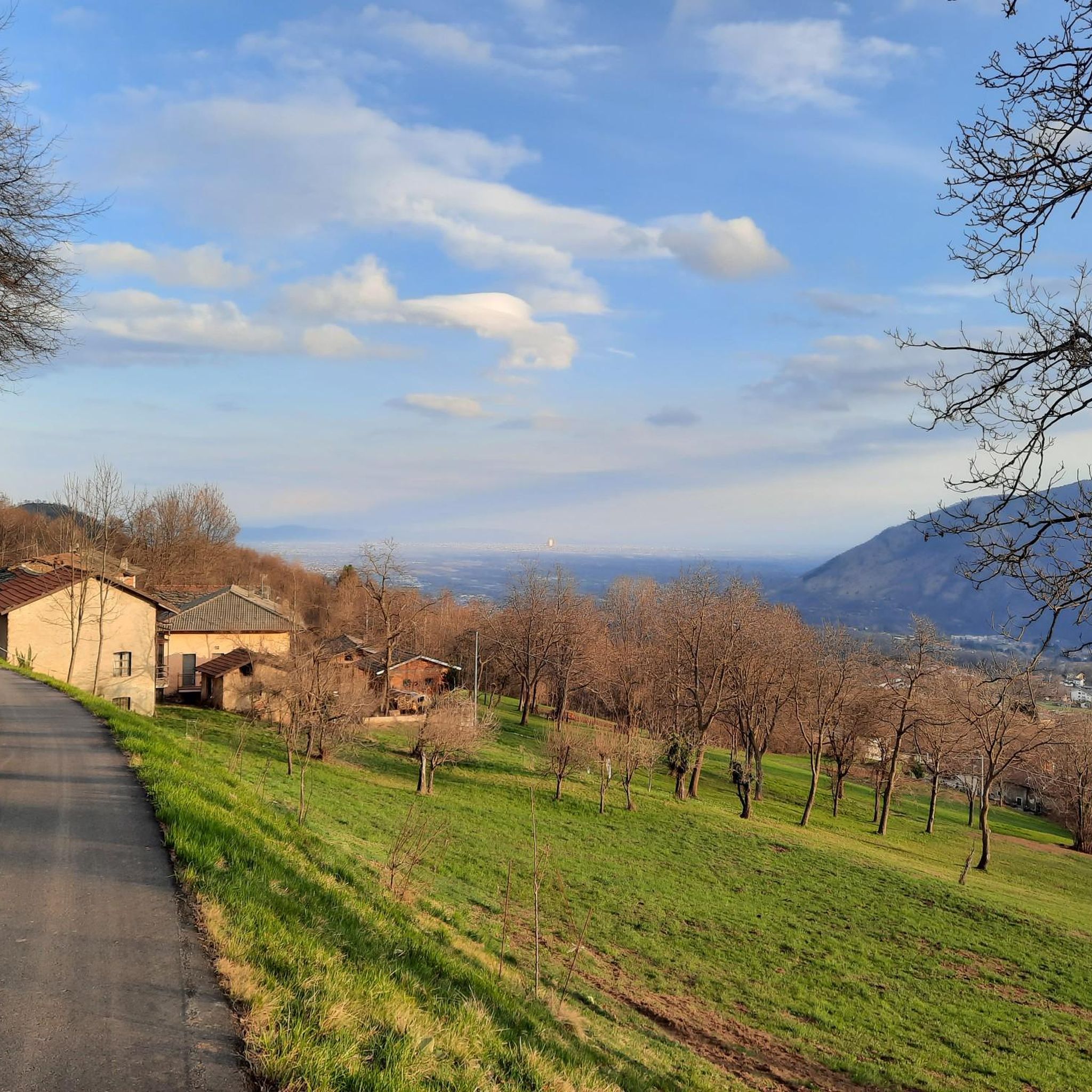
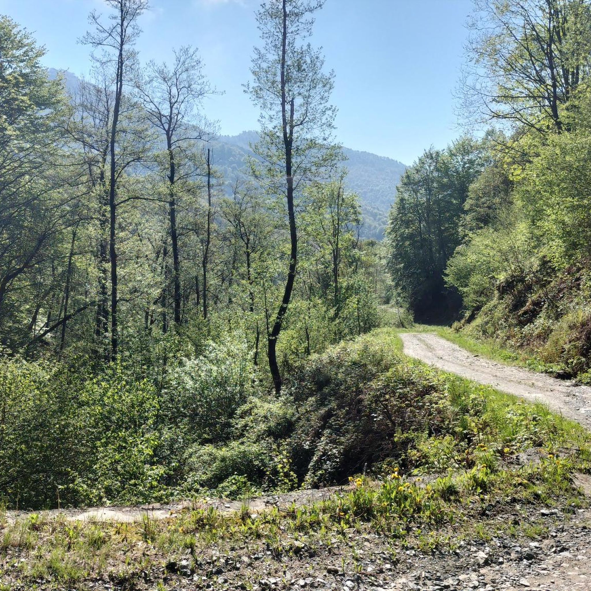
Hiking around Corio offers diverse trails through varied natural features in Piemonte, Italy. The region is characterized by mountain and valley terrain, with routes often traversing suggestive landscapes that include the Malone and Fandaglia stream valleys. Hikers can explore forested areas, ancient mule tracks, and the notable Sacro Monte di Belmonte Reserve, providing both natural beauty and historical context. These trails offer panoramic views of the surrounding region.
Best hiking trails around Corio
- The most popular hiking route is Monte…
Last updated: October 10, 2026
4.5
(71)
346
hikers
15.4km
06:13
1,170m
1,170m
Hard hike. Very good fitness required. Mostly accessible paths. Sure-footedness required.
4.7
(40)
170
hikers
16.5km
06:48
1,190m
1,190m
Hard hike. Very good fitness required. Mostly accessible paths. Sure-footedness required.

5.0
(1)
9
hikers
6.63km
01:53
140m
140m
Easy hike. Great for any fitness level. Easily-accessible paths. Suitable for all skill levels.
8
hikers
6.32km
02:04
290m
290m
Moderate hike. Good fitness required. Easily-accessible paths. Suitable for all skill levels.
1
hikers
15.6km
06:31
1,020m
1,030m
Hard hike. Very good fitness required. Mostly accessible paths. Sure-footedness required.
Get access to more routes and recommendations from other explorers.
Already have an account?
Our route recommendations are based on thousands of hikes, rides, and runs completed by other people on komoot.
Start today with a free account
Your next adventure awaits.

Tips from the Community

Reached several times from the Corio side and from the Alpette side. Below the summit from the Corio side, near Alpe Rossolo, there are always horses.
0
0
As of today the Rifugio is closed (Saturday, May 30, 2026)
0
0

You can see everything and it can be reached from several different places
0
0

Beautiful refuge and panorama at 1700 m altitude at the end of a long and challenging climb
1
0

Seems beautiful view of the Canavese. Starting point for paragliding.
0
0

To reach this village on foot, take the Sentiero della Calma of the same name. A narrow street passes through the houses of the village
0
0

Bric Castel impervious peak at an altitude of 1437 m
0
0
Wonderful plateau located at 1600 m above sea level.
0
0
Frequently Asked Questions
How many hiking trails are available around Corio?
Corio offers a wide selection of hiking trails, with over 45 routes documented on komoot. These trails cater to various skill levels, ranging from easy strolls to challenging mountain ascents.
What kind of terrain can I expect on hikes in Corio?
The hiking trails in Corio traverse diverse landscapes, including suggestive mountain and valley terrain. You'll often find yourself walking through forested areas, along ancient mule tracks, and beside streams like the Malone and Fandaglia. The region offers a mix of natural pathways and historical routes.
Are there easy hiking trails suitable for beginners or families in Corio?
Yes, Corio has options for less experienced hikers and families. There are 3 easy routes available, such as the San Bernardo - Cappella della Madonna della Neve Trail. This route is 4.1 miles (6.6 km) long and takes approximately 2 hours to complete, offering a gentle introduction to the area's natural beauty.
Can I find circular hiking routes in Corio?
Absolutely. Corio features several circular routes that allow you to start and end in the same location. An example is the Testa Brusà Loop, a moderate 3.9-mile (6.3 km) trail that takes about 2 hours to complete, leading you through varied terrain.
What natural features or landmarks can I see while hiking in Corio?
Hikers in Corio can explore a variety of natural and historical landmarks. A significant feature is the Sacro Monte di Belmonte Reserve, which some routes cross. You can also discover peaks like Cima Mares and Uja di Bellavarda, or visit the Sanctuary of Sacro Monte di Belmonte. Many trails offer panoramic views of the surrounding region.
Are there any historical trails or ancient paths to explore in Corio?
Yes, Corio's hiking network includes routes that follow ancient mule tracks and connect historical hamlets, offering a glimpse into the region's past. The famous Salassi Trail, for instance, retraces paths used by the ancient Celtic-Ligurian Salassi people, blending nature with history.
What do other hikers say about the trails in Corio?
The trails in Corio are highly regarded by the komoot community, boasting an average rating of 4.5 stars from over 300 reviews. More than 1,700 hikers have explored the area, often praising the diverse terrain, well-marked paths, and the extensive views offered by routes like the Monte Soglio Loop Trail.
What is the best time of year to go hiking in Corio?
While specific data isn't provided, generally, the best times for hiking in Piemonte, where Corio is located, are spring (April to June) and autumn (September to October). During these seasons, the weather is typically mild, and the natural scenery is particularly vibrant, with blooming flowers in spring and colorful foliage in autumn. Summer can also be pleasant, especially at higher elevations.
Are there trails that offer panoramic views in Corio?
Many trails in Corio are known for their scenic vistas. Routes that traverse mountain and valley terrain, particularly those connecting the Orco Valley to the Lanzo Valleys, often provide expansive panoramic views of the surrounding Piemonte region. The Rocca Turi Loop is another challenging option that offers great views.
Are there any dog-friendly walks in Corio?
While specific trails are not designated as 'dog-friendly' in the data, many natural hiking paths in Corio are generally suitable for dogs, provided they are kept on a leash and owners adhere to local regulations regarding pet waste. It's always advisable to check local signage and be respectful of wildlife and other hikers.
Where can I find mountain peaks or summits to explore near Corio?
For those seeking mountain peaks, Corio offers access to several notable summits. You can explore peaks like Cima Mares and Uja di Bellavarda. The Monte Soglio Summit, with its Madonna Statue, is another prominent point of interest for hikers.
Are there any trails that involve water features like streams or rivers?
Yes, several trails in Corio are designed around water features. You can find routes that skirt the two sides of the Malone stream or explore the Fandaglia stream valley, offering lush, riparian environments that enhance the natural beauty of the hike.
Most popular attractions around Corio

Get inspired with the komoot mobile app


Explore more
Browse the best Hikes in other regions.
