The best walks and hikes around Strambino
4.4
(1564)
5,696
hikers
18
hikes
Hiking trails around Strambino traverse a landscape characterized by morainic hills, vineyards, and several lakes. The region features unique natural elements such as the "Terre Ballerine," a peat-based soil structure that exhibits elasticity. Nearby Lake Candia and Lake Pistono offer additional natural attractions. The area is also close to the Serra di Ivrea, Europe's largest moraine wall, providing diverse hiking terrain.
Best hiking trails around Strambino
- The most popular hiking route is Ivrea Morainic Amphitheater High Route: Romano Canavese Link…
Last updated: October 13, 2026
21
hikers
6.23km
01:35
20m
20m
Easy hike. Great for any fitness level. Easily-accessible paths. Suitable for all skill levels.
3.0
(1)
5
hikers
7.08km
01:51
60m
60m
Easy hike. Great for any fitness level. Easily-accessible paths. Suitable for all skill levels.

5
hikers
8.87km
02:16
30m
30m
Moderate hike. Good fitness required. Easily-accessible paths. Suitable for all skill levels.
5.0
(1)
3
hikers
7.00km
01:47
20m
20m
Easy hike. Great for any fitness level. Easily-accessible paths. Suitable for all skill levels.
4
hikers
12.4km
03:13
70m
80m
Moderate hike. Good fitness required. Easily-accessible paths. Suitable for all skill levels.
Get access to more routes and recommendations from other explorers.
Already have an account?
Our route recommendations are based on thousands of hikes, rides, and runs completed by other people on komoot.
Start today with a free account
Your next adventure awaits.

Tips from the Community


On the plaque in front of the sanctuary we read: "The news that is handed down traces the origin of the sanctuary of Realizio to a monastery of Benedictine nuns dedicated to Santa Maria della Rovere, of which no trace remains. Damaged and impoverished by the wars in 1221, it was joined to the monastery of San Michele di Ivrea by order of Pope Honorius III. In 1585, during the plague, it was transformed into a hospital and burial place. The current church is the result of successive transformations and reconstructions. "
1
0

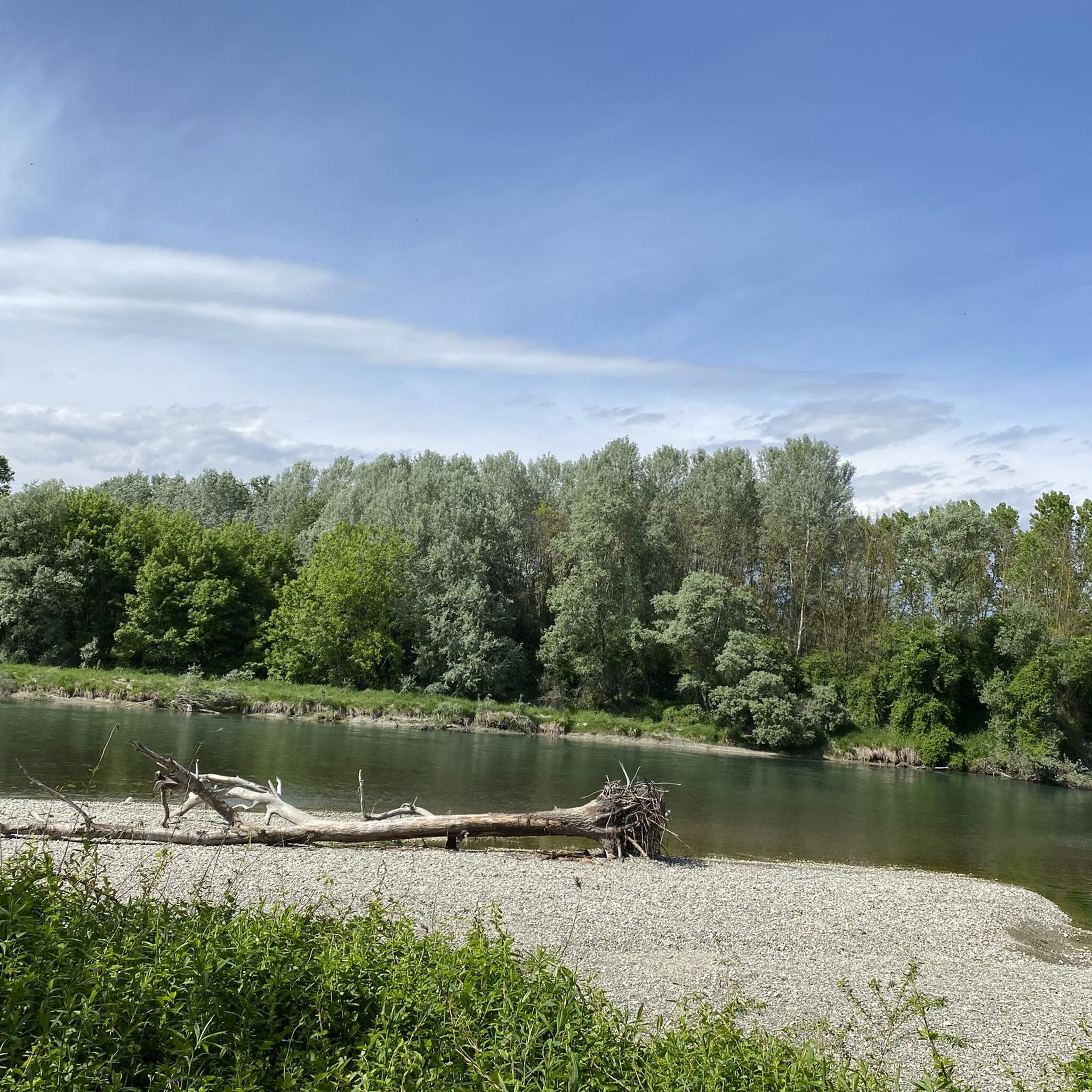
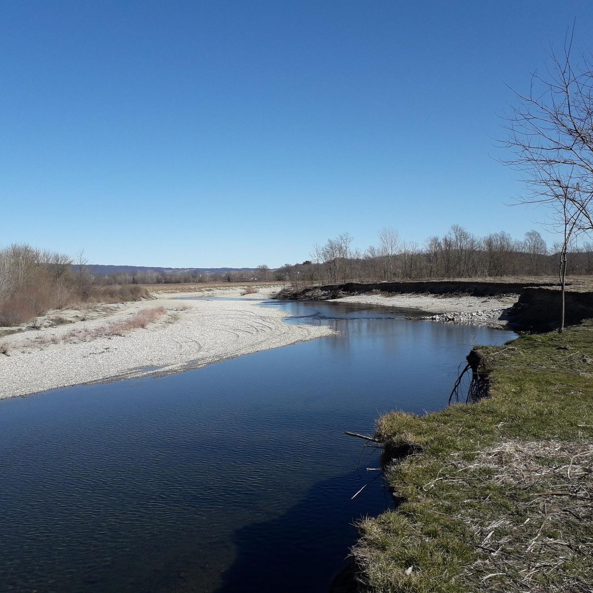
Beautiful wild path along the Dora interrupted in a bend following the erosion of a flood of the river
1
0
Frequently Asked Questions
How many hiking trails are available around Strambino?
Strambino offers a wide variety of hiking opportunities, with over 350 routes listed on komoot. These range from easy strolls to more challenging treks, ensuring options for all skill levels.
What kind of terrain can I expect on hikes near Strambino?
The terrain around Strambino is primarily characterized by picturesque morainic hills, often covered with vineyards. You'll also find paths winding through lake plains and alongside bodies of water like Lake Candia. Some trails combine main roads, dirt paths, and cycle paths, offering varied surfaces.
Are there any unique natural features to discover while hiking in Strambino?
Yes, one of the most intriguing natural features is the Terre Ballerine (Dancing Lands). This small forest has a unique peat-based soil structure that rests on water, causing the ground to move with elasticity when walked upon, creating a memorable experience.
Are there any family-friendly hiking options in the Strambino area?
Absolutely. Strambino has numerous easy routes suitable for families. An example is the Torre di Montà loop from Strambino, an easy 4.4-mile (7.1 km) trail that takes you through the local countryside. Another easy option is the Hiking loop from Strambino, which is 7 km long.
Can I find circular hiking routes around Strambino?
Yes, many routes around Strambino are designed as loops. For instance, the Lake Candia – Lake Candia loop from Candia Canavese is a popular moderate 6.2-mile (10.0 km) path offering views of the lake and surrounding hills. The Chapel of St. Roch loop from Mercenasco is another easy circular option.
What are some notable landmarks or attractions near the hiking trails?
Beyond the trails, you can explore several interesting sites. Nearby, you'll find Lake Pistono and the Archaeological Park of the Stilt Houses. The historic town of Ivrea, with its Historic Centre and the Dora Baltea Riverside, is also close by. For those interested in history, Mazzè Castle and Ivrea Castle are within reach.
What do other hikers enjoy most about hiking in Strambino?
The area is highly rated by the komoot community, with an average score of 4.5 stars from over 1600 reviews. Hikers often praise the diverse landscapes, from morainic hills and vineyards to serene lake-side paths, and the unique natural features like the Terre Ballerine.
Are there any easy hiking trails for beginners or casual walkers?
Yes, Strambino offers a good selection of easy trails. With 161 easy routes available, you can find pleasant walks suitable for beginners. The Torre di Montà loop from Strambino is a great example, providing a gentle introduction to the local countryside.
What is the best time of year to go hiking in Strambino?
The morainic hills and lake areas around Strambino are beautiful throughout much of the year. Spring and autumn generally offer pleasant temperatures and vibrant scenery, with spring bringing blooming flora and autumn showcasing rich fall colors in the vineyards. Summer can be warm, making early morning or late afternoon hikes ideal.
Are there any dog-friendly hiking trails in Strambino?
Many of the trails around Strambino are suitable for dogs, especially those that traverse the open countryside and less crowded areas. It's always recommended to keep dogs on a leash and be mindful of local regulations, particularly around agricultural areas or protected natural sites.
Is public transport available to reach hiking trailheads near Strambino?
Strambino is a municipality in the Metropolitan City of Turin. While specific public transport links directly to every trailhead may vary, the town itself is accessible. For detailed information on public transport options to specific starting points, it's best to consult local transport schedules for the Piedmont region.
Are there any challenging hikes for experienced trekkers?
While the majority of routes are easy to moderate, there are 13 difficult trails available for those seeking a greater challenge. These more demanding routes may involve steeper ascents and require good physical conditioning and potentially some mountaineering knowledge for higher altitudes, especially when venturing towards the broader Serra di Ivrea area.
Most popular routes around Strambino
Most popular attractions around Strambino

Get inspired with the komoot mobile app


Explore more
Browse the best Hikes in other regions.
