The best running trails around Prarostino
4.3
(154)
6,461
runners
429
runs
Jogging routes around Prarostino offer diverse landscapes within the Metropolitan City of Turin, Italy. The region is characterized by its hilly terrain, featuring trails and dirt roads that wind through valleys and offer panoramic views. Situated at the confluence of Val Chisone and Val Pellice, Prarostino provides a rich natural environment with vineyards and forests, making it an ideal location for outdoor running.
Best jogging routes around Prarostino
- The most popular jogging route is Mount Rocciacotello Loop, a 7.1…
Last updated: October 4, 2026
3.0
(1)
5
runners
11.5km
01:44
580m
580m
This difficult 7.1-mile (11.5 km) jogging loop in the province of Torino offers challenging terrain and rewarding views for experienced runn
49
runners
17.6km
02:17
550m
550m
Hard run. Very good fitness required. Sure-footedness, sturdy shoes and alpine experience required.

74
runners
8.98km
01:12
380m
380m
Hard run. Very good fitness required. Sure-footedness, sturdy shoes and alpine experience required.
5.0
(6)
32
runners
Moderate run. Good fitness required. Mostly paved surfaces. Suitable for all skill levels.
10
runners
18.0km
03:02
1,000m
1,000m
Hard run. Very good fitness required. Sure-footedness, sturdy shoes and alpine experience required.
Get access to more routes and recommendations from other explorers.
Already have an account?
Our route recommendations are based on thousands of hikes, rides, and runs completed by other people on komoot.
Start today with a free account
Your next adventure awaits.

Tips from the Community

Faro della Libertà, a 15-meter high stone tower designed by architects Gabetti and Isola in 1967, in memory of the 600 partisans who fell in Pinerolese: from here the panorama ranges 360° over the western Alps and the Pinerolese plain, with the unmistakable silhouette of the Rocca di Cavour.
0
0

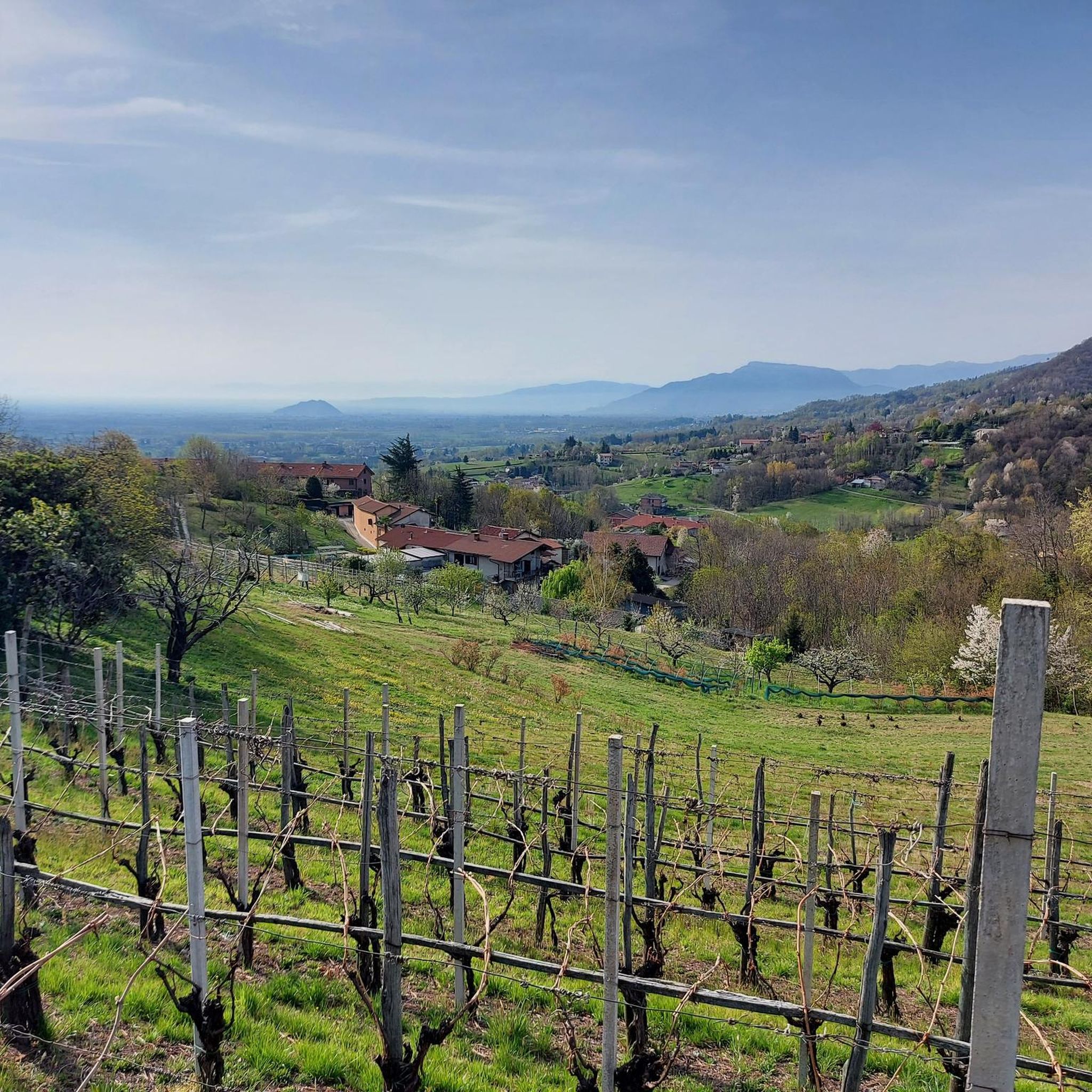
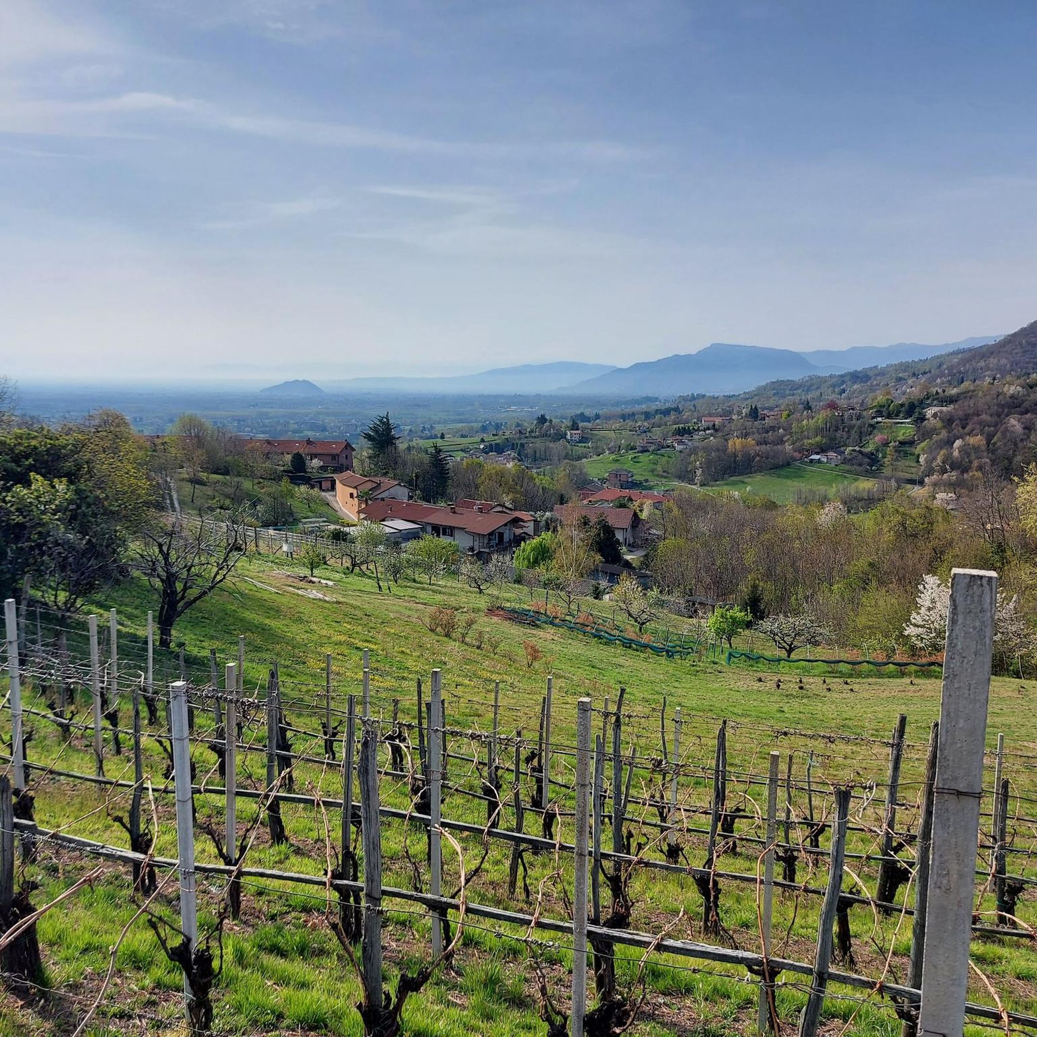
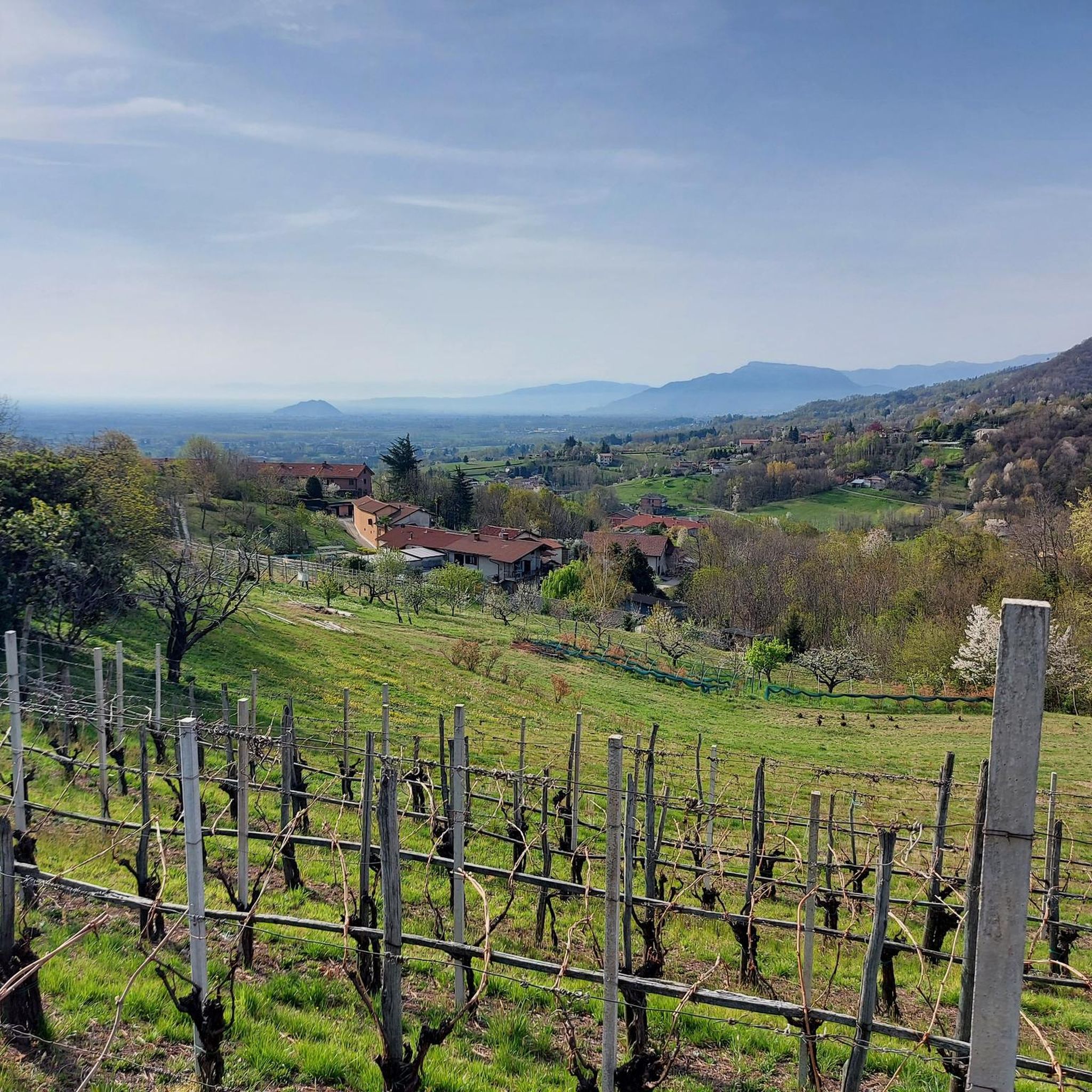
After the demanding climb of Via Massina, with its more than respectable ramps, the arrival in Prarostino finally offers some respite. From here, the view stretches over the plain below, amply rewarding the effort of the last few hundred meters of elevation gain.
0
0

La Colletta di Prarostino (at about 850 m altitude) is a panoramic viewpoint and a renowned hiking hub located in the Pinerolese hills. It offers a magnificent view of the Turin plain and is the starting point for nature trails, including the famous loop trail dedicated to Agostino Benedetto
0
0


I would say that it is a truly unique place, I must compliment the desire and patience of the authors, it is worth seeing.
0
0
In this square there is the possibility of recharging e-bikes and maintenance equipment
0
0


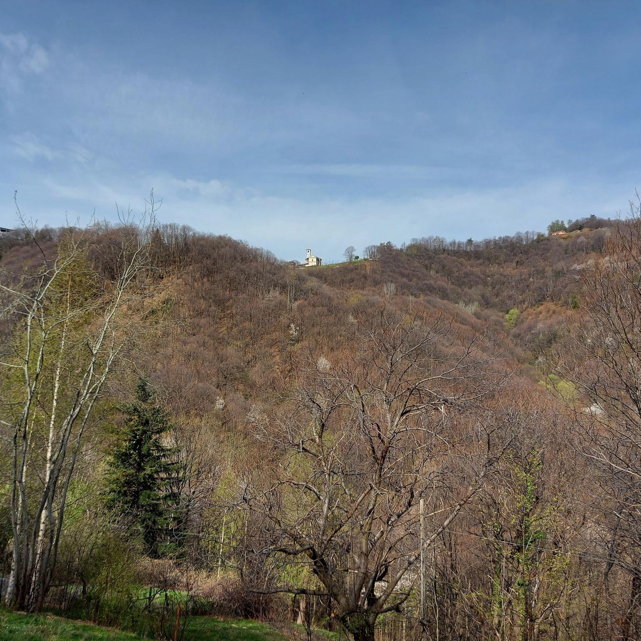
Panoramic position in the municipality of Prarostino. Monument to the fallen
1
0
Frequently Asked Questions
How many running routes are available in Prarostino?
Prarostino offers a wide selection of running routes, with over 400 trails to explore. These include a good mix of easy, moderate, and difficult paths, catering to various fitness levels.
Are there any easy or beginner-friendly jogging routes in Prarostino?
Yes, Prarostino has routes suitable for beginners. There are 27 easy routes and 228 moderate routes, many of which feature more gentle paths through the countryside and foothills. For a moderate option, consider the View of Monte Rocciacotello loop from Porte, which offers varied terrain without extreme elevation.
What kind of terrain can I expect on the jogging trails around Prarostino?
The jogging trails in Prarostino are characterized by diverse and engaging terrain. You'll find hilly environments with trails and dirt roads winding through valleys and forests. The area is known as the 'Green Basin' of the Pinerolese, offering a mix of open countryside, vineyards, and more secluded natural spaces.
Are there any circular running routes in Prarostino?
Yes, many of the running routes in Prarostino are circular. For example, the challenging Mount Rocciacotello Loop and the Prarostino Tower – Summit of Bric Castelletto loop from Prarostino are both popular circular options that allow you to start and finish in the same location.
What are the best times of year for jogging in Prarostino?
Prarostino's diverse landscapes make it suitable for jogging through much of the year. Spring and autumn offer pleasant temperatures and vibrant scenery, with vineyards and forests at their best. Summer mornings and evenings are also ideal to avoid the midday heat, while winter can provide unique, crisp running conditions, especially on lower elevation paths.
What do other runners say about the trails in Prarostino?
The running routes in Prarostino are highly rated by the komoot community, with an average score of 4.4 stars from over 110 reviews. More than 5,500 runners have used komoot to explore the varied terrain, often praising the scenic views, the mix of challenging climbs and gentle paths, and the overall natural beauty of the 'Green Basin' area.
Are there any scenic viewpoints or attractions along the running routes?
Absolutely! Prarostino is known for its splendid panoramic views. Many routes, especially those along the ridge line between Val Pellice and Val Chisone, offer breathtaking vistas towards the plains and valleys. The ascent to Pralarossa, for instance, provides an expansive panorama of the Pinerolese area. You can also find highlights like Colle Vaccera or Gran Truc Summit nearby, which offer great views.
Can I find routes that pass by historical or cultural sites?
Yes, some routes in the Prarostino area offer a blend of natural beauty and historical significance. The region has connections to Waldensian history and Resistance monuments. While not directly on every jogging path, you can explore short, relaxing stages of the 'Strade dei Forti' (Roads of the Forts) or routes that allow for exploration of places linked to these historical events, adding a cultural dimension to your run.
Are there any longer, more challenging running routes for experienced runners?
For experienced runners seeking a challenge, Prarostino offers several difficult routes. The Mount Rocciacotello Loop is a difficult 11.5 km trail with significant elevation gain, taking about 1 hour 44 minutes. Another demanding option is the Bric Castelletto – Monte Castelletto loop from San Secondo di Pinerolo, which is a substantial 31.6 km route with over 1400 meters of elevation gain.
What natural features define the running experience in Prarostino?
The running experience in Prarostino is defined by its rich natural environment. You'll encounter hilly terrain, lush vineyards, and dense forests. The area is situated at the confluence of Val Chisone and Val Pellice, meaning routes often traverse these scenic valleys, offering a refreshing outdoor experience amidst ample greenery.
Are there any specific landmarks or points of interest near the running trails?
Beyond the panoramic views, you can find several points of interest. Highlights include mountain passes like Colle Pra Martino, or the historic Chapel of Our Lady of the Snow (Monte Muretto). For natural monuments, you might encounter Lake Lauson or the Fontana degli Alpini, providing interesting stops along your run.
Most popular routes around Prarostino
Most popular attractions around Prarostino

Get inspired with the komoot mobile app


Explore more
Browse the best Running Trails & Routes in other regions.
