The best MTB trails around Gravere
4.5
(1283)
6,627
riders
145
rides
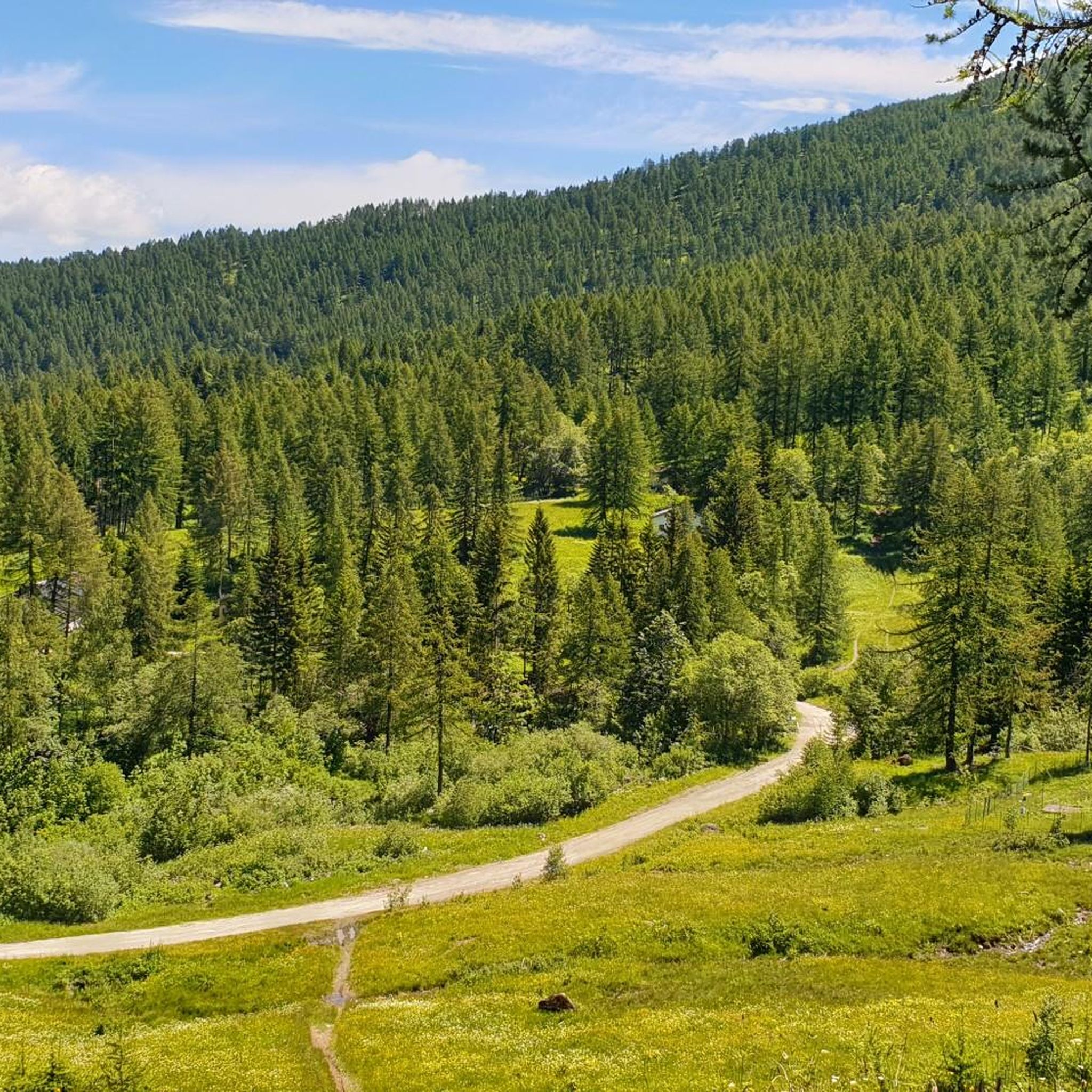
Mountain biking around Gravere offers a diverse landscape characterized by significant elevation changes and dense forests within the Metropolitan City of Turin, Italy. The region features mountainous terrain with extensive trail networks, providing challenging routes through wooded areas and past former ski facilities. Proximity to natural parks like "Parco Naturale Orsiera Rocciavre" enhances the ecological value and outdoor experience. This area provides a dynamic environment for mountain biking, with varied gradients and scenic views of the Italian Alps.
Best mountain…
Last updated: October 18, 2026
4.7
(7)
78
riders
60.3km
06:48
2,560m
2,560m
Hard mountain bike ride. Very good fitness required. Advanced riding skills necessary. Some portions of the route may require you to push your bike.
4.3
(16)
65
riders
37.0km
03:49
1,280m
1,280m
Hard mountain bike ride. Very good fitness required. Suitable for all skill levels.

5.0
(9)
39
riders
69.6km
07:56
2,740m
2,740m
Hard mountain bike ride. Very good fitness required. Advanced riding skills necessary. Some portions of the route may require you to push your bike.
4.8
(9)
41
riders
80.9km
07:55
2,560m
2,560m
Hard mountain bike ride. Very good fitness required. Advanced riding skills necessary. Some portions of the route may require you to push your bike.
5.0
(6)
30
riders
37.2km
04:06
1,600m
1,600m
Hard mountain bike ride. Very good fitness required. Advanced riding skills necessary. Some portions of the route may require you to push your bike.
Get access to more routes and recommendations from other explorers.
Already have an account?
Our route recommendations are based on thousands of hikes, rides, and runs completed by other people on komoot.
Start today with a free account
Your next adventure awaits.

Tips from the Community

From Bar Cenisio you can reach it via a difficult trail classified EEA, or via a comfortable dirt road in just over an hour. You can also get there by car, in fact the dirt road seemed to be in good condition
0
0
Lake easily reachable as it is located next to a drivable road connecting Bar Cenisio to the Moncenisio lake
0
0

Very scenic aerial route rich in historical identities. Route with ground not always well-trodden, also due to disconnections caused by motorcycles and cars.
0
0

Beautiful military road kept very well. Once you reach the top, you turn at an average altitude of about 2300 m
0
0

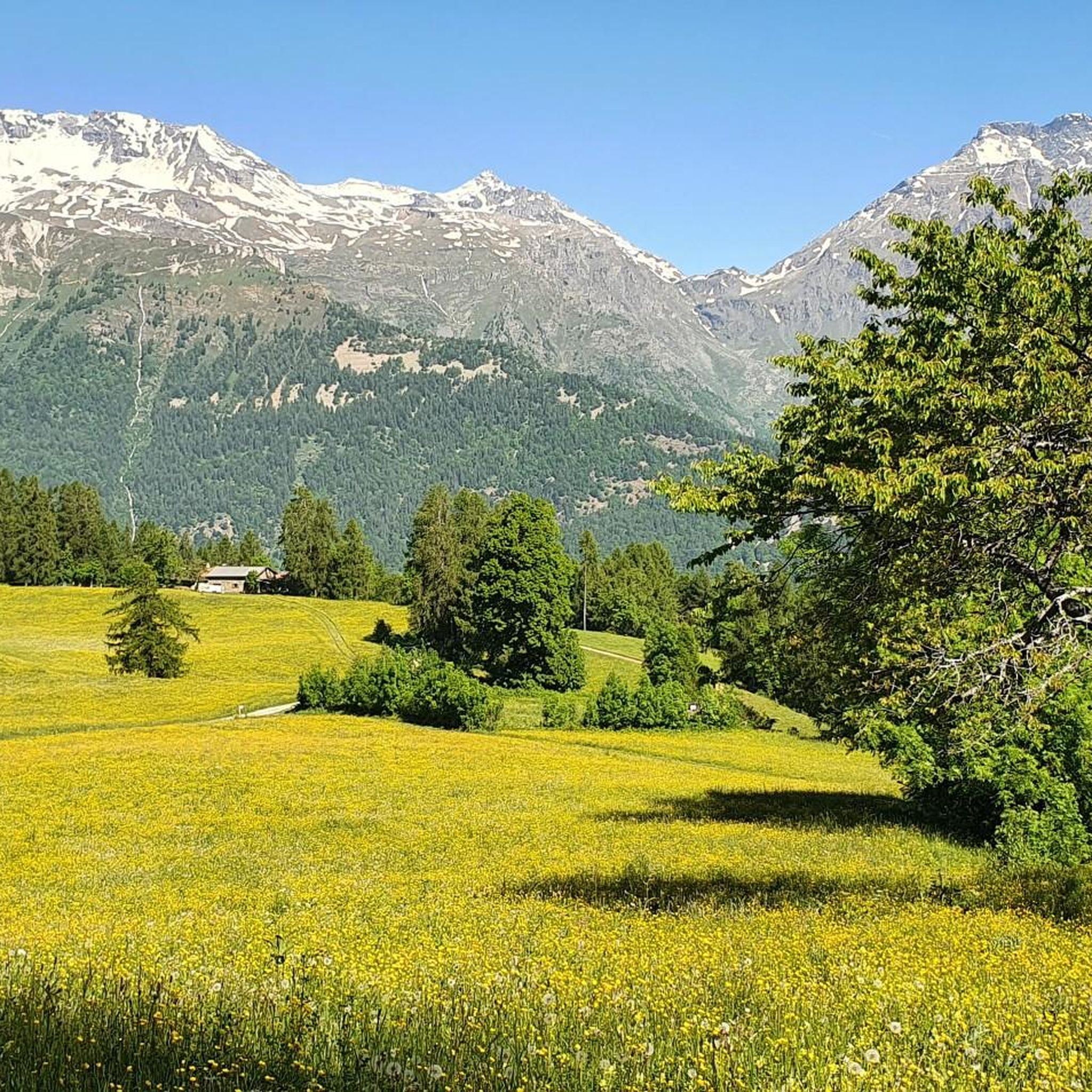
Surely the best viewpoint of the tour and one of the best in the upper valley, with the spectacular balcony opening onto the 4 Denti di Chiomonte, the NIblè group, the Giusalet and the Vaccarone. From this meadow it's all downhill towards the Frais
0
0

Slightly bumpy path over the dam.
2
0

Frequently Asked Questions
How many mountain bike trails are available around Gravere?
There are over 120 mountain bike trails around Gravere, offering a wide range of options for different skill levels. You'll find everything from easy routes to very difficult, demanding trails.
What kind of terrain can I expect on mountain bike trails in Gravere?
Gravere's mountain bike trails feature diverse terrain, characterized by significant elevation changes, dense forests, and open clearings. You'll encounter challenging ascents and descents through wooded areas, past former ski facilities, and along high-altitude paths, all set against the backdrop of the Italian Alps.
Are there any easy or family-friendly mountain bike trails in Gravere?
Yes, while many trails are challenging, Gravere does offer some easier options. There are 8 easy routes suitable for less experienced riders or families looking for a more relaxed ride. These trails often traverse less demanding terrain, allowing for an enjoyable experience for all.
What are some notable natural features or landmarks I might see while mountain biking in Gravere?
The region around Gravere is rich in natural beauty and historical sites. You might encounter stunning mountain passes like Colle dell'Assietta, serene bodies of water such as Lake Laux, or even reach high points like Rocciamelone Summit. Historical attractions like the ancient Arco di Augusto in Susa are also nearby.
What do other mountain bikers enjoy most about the trails in Gravere?
The mountain bike trails around Gravere are highly rated by the komoot community, with an average score of 4.5 stars from over 900 reviews. Riders often praise the challenging and varied terrain, the stunning views of the Italian Alps, and the sense of adventure found on routes that traverse forests and high-altitude paths.
Are there any circular mountain bike routes in the Gravere area?
Yes, many of the mountain bike routes around Gravere are designed as loops, allowing you to start and finish in the same location. An example is the moderate Arch of Augustus in Susa – Susa loop from Susa, which combines historical landmarks with varied terrain.
Can I find mountain bike trails that pass by lakes or water features?
Absolutely. The Gravere area features several beautiful lakes that can be incorporated into your rides. For instance, you might encounter Lake Laux or Frogs' Paradise Lake on some routes, offering picturesque spots for a break.
What is the best time of year for mountain biking in Gravere?
The best time for mountain biking in Gravere is typically from late spring through early autumn. During these months, the weather is generally favorable, and the trails are clear of snow, providing optimal conditions for exploring the mountainous terrain and forests.
Are there any particularly challenging mountain bike routes for experienced riders?
Gravere is well-known for its challenging trails. Experienced riders will find plenty of difficult options, such as the demanding Colle dell'Assietta – Gran Serin Barracks loop from Meana, which covers nearly 70 km with substantial elevation gain through high mountain terrain.
Are there opportunities to explore natural parks while mountain biking near Gravere?
Yes, Gravere's proximity to natural parks like "Parco Naturale Orsiera Rocciavre" and "Parco Naturale del Gran Bosco di Salbertrand" means you can often find trails that border or pass through these protected areas. These parks offer enhanced ecological value and opportunities for wildlife observation.
What is the typical duration for mountain bike trails in Gravere?
Trail durations vary significantly based on difficulty and length. Easy routes might take an hour or two, while moderate trails can range from 2 to 4 hours. Difficult routes, such as the Col Clapier – Susa loop from Susa, can take over 4 hours to complete due to their length and elevation.
Are there any mountain bike trails that offer panoramic viewpoints?
Given Gravere's mountainous terrain and significant elevation changes, many trails lead to areas with panoramic views of the Italian Alps and the surrounding valleys. Routes that ascend to higher altitudes, often passing former ski facilities, are particularly likely to offer stunning vistas.
Most popular routes around Gravere
Most popular attractions around Gravere

Get inspired with the komoot mobile app


Explore more
Browse the best MTB trails in other regions.
