The best mountain hikes around Bagnolo Piemonte
4.9
(13)
169
hikers
5
hikes
Mountaineering routes around Bagnolo Piemonte are situated at the foothills of the Cottian Alps in Italy's Piedmont region, offering a diverse landscape for alpine pursuits. The area features mountainous terrain, dense forests, and significant alpine features, including the prominent Monviso peak. This region is characterized by its high-altitude environments, glacial lakes, and the source of the Po River, providing varied challenges for mountaineers.
Best mountaineering routes around Bagnolo Piemonte
- The most popular mountaineering route is Marmots – Passo Luisas loop…
Last updated: October 18, 2026
5.0
(2)
32
hikers
8.33km
05:34
930m
930m
Hard mountaineering route. Very good fitness required. Sure-footedness, sturdy shoes and alpine experience required.
5.0
(1)
26
hikers
8.92km
05:55
940m
940m
Hard mountaineering route. Very good fitness required. Sure-footedness, sturdy shoes and alpine experience required.

5.0
(2)
25
hikers
12.1km
07:15
1,310m
1,310m
Hard mountaineering route. Very good fitness required. Sure-footedness, sturdy shoes and alpine experience required.
4.0
(2)
20
hikers
14.4km
07:27
1,270m
1,270m
Hard mountaineering route. Very good fitness required. Mostly accessible paths. Sure-footedness required.
5.0
(2)
6
hikers
9.99km
04:32
750m
750m
Hard mountaineering route. Good fitness required. Sure-footedness, sturdy shoes and alpine experience required.
Our route recommendations are based on thousands of hikes, rides, and runs completed by other people on komoot.
Start today with a free account
Your next adventure awaits.
Popular around Bagnolo Piemonte
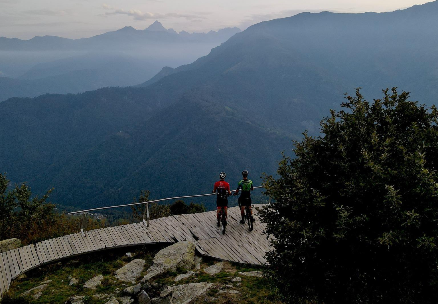
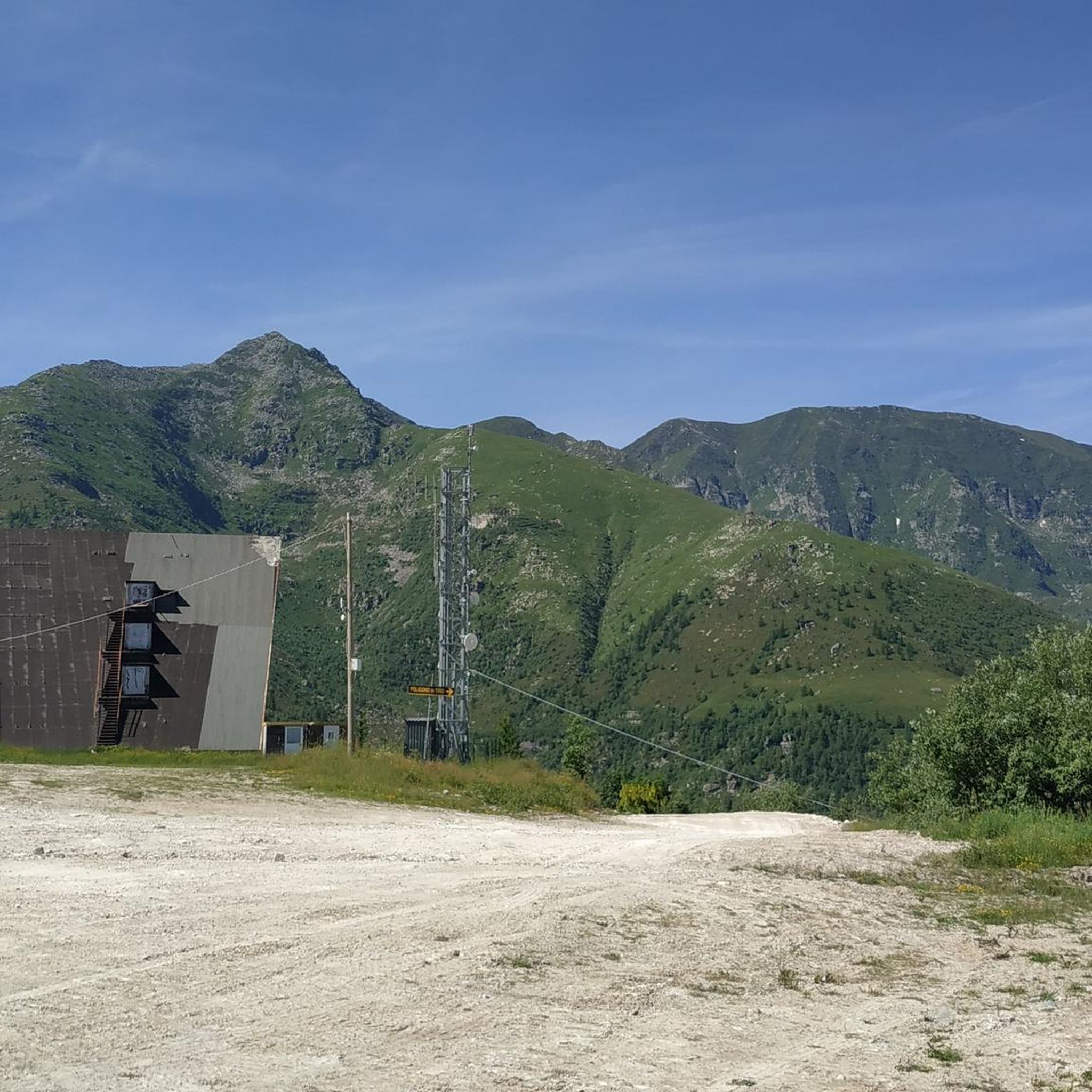
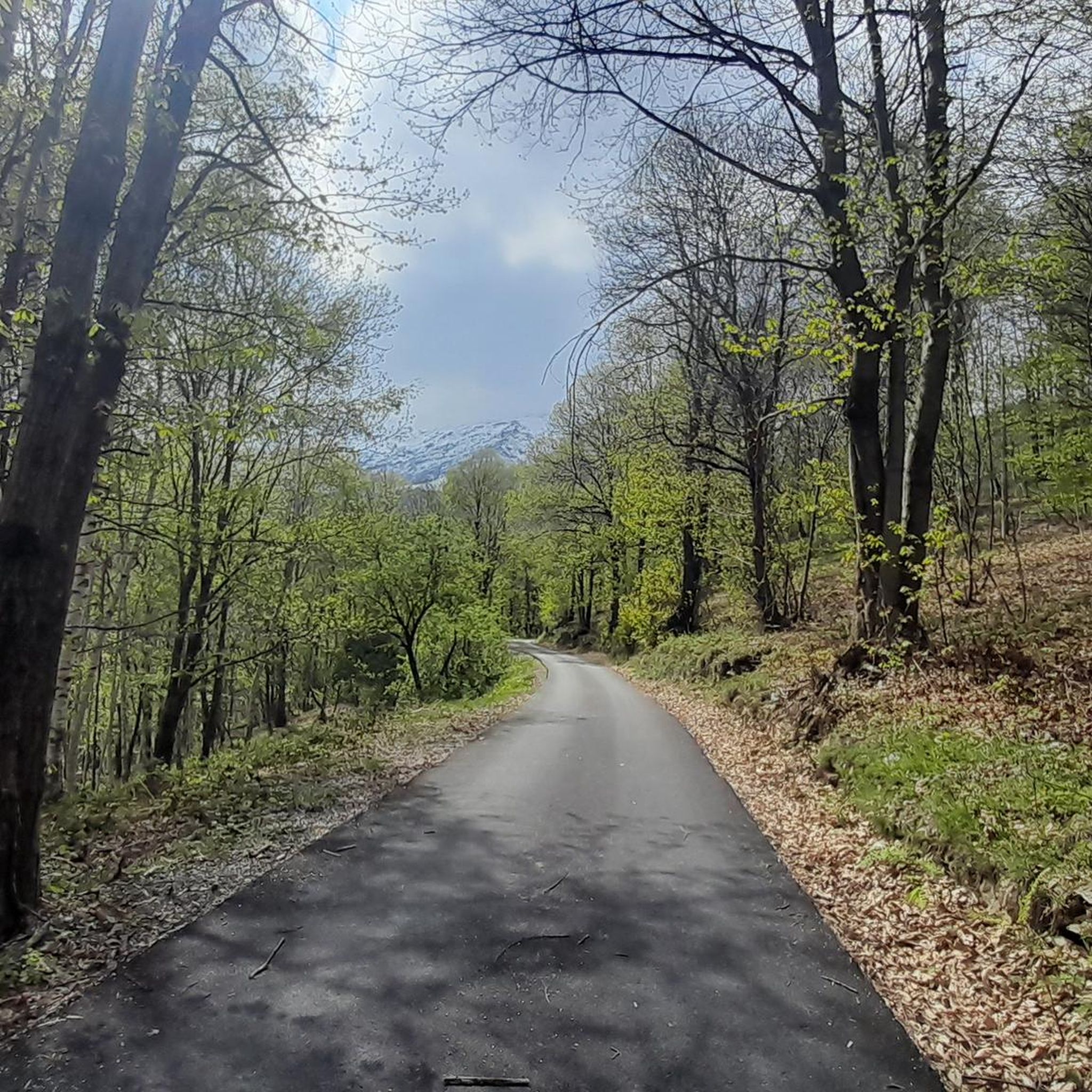
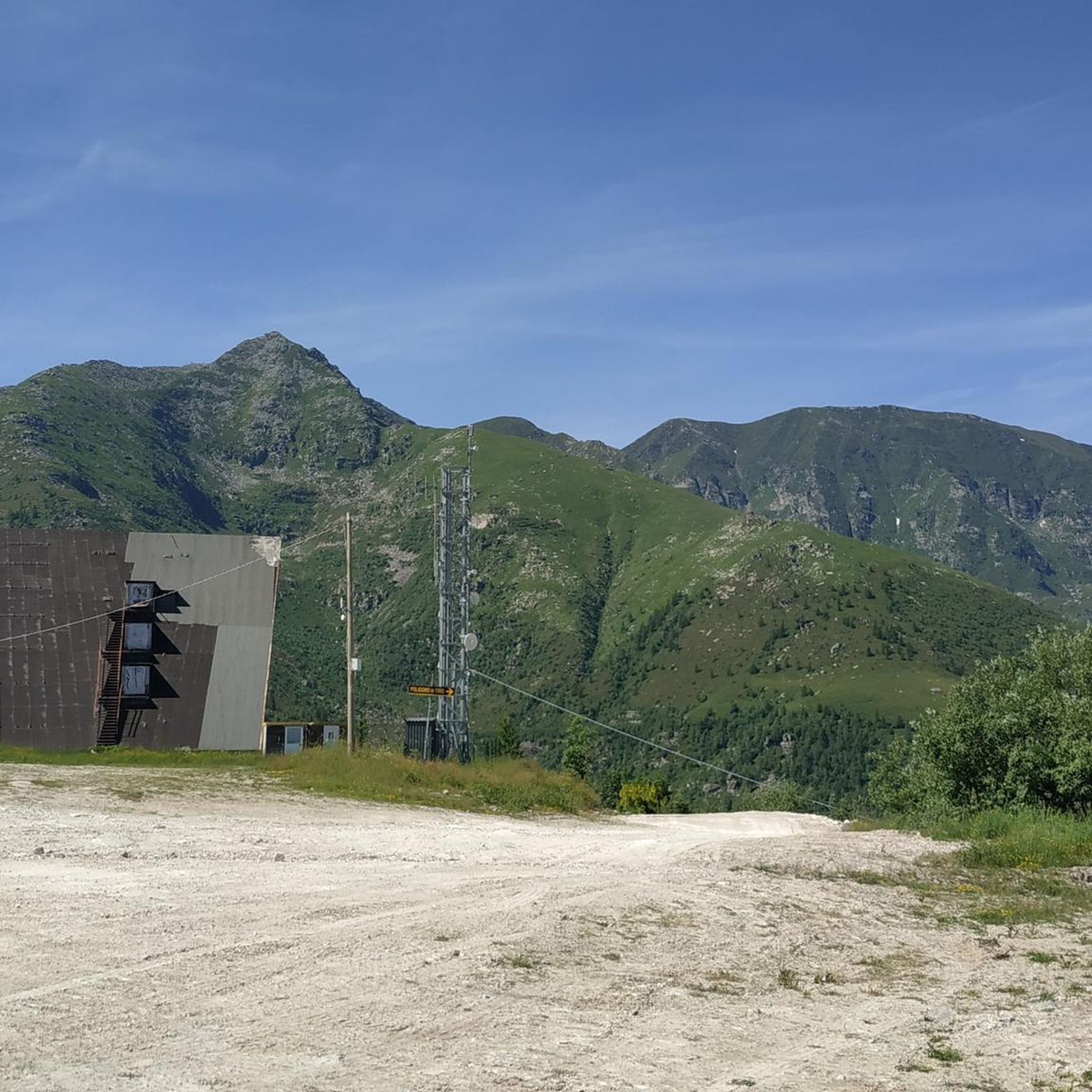
Other adventures around Bagnolo Piemonte

Tips from the Community

All roads lead to Rome 😎 this one from the Monviso group is particularly beautiful for the environment where it is located and for the spectacular view at the top!! 💥💥💥
0
0

It is located in a very scenic position in front of Monviso, just below Pian del Re
0
0

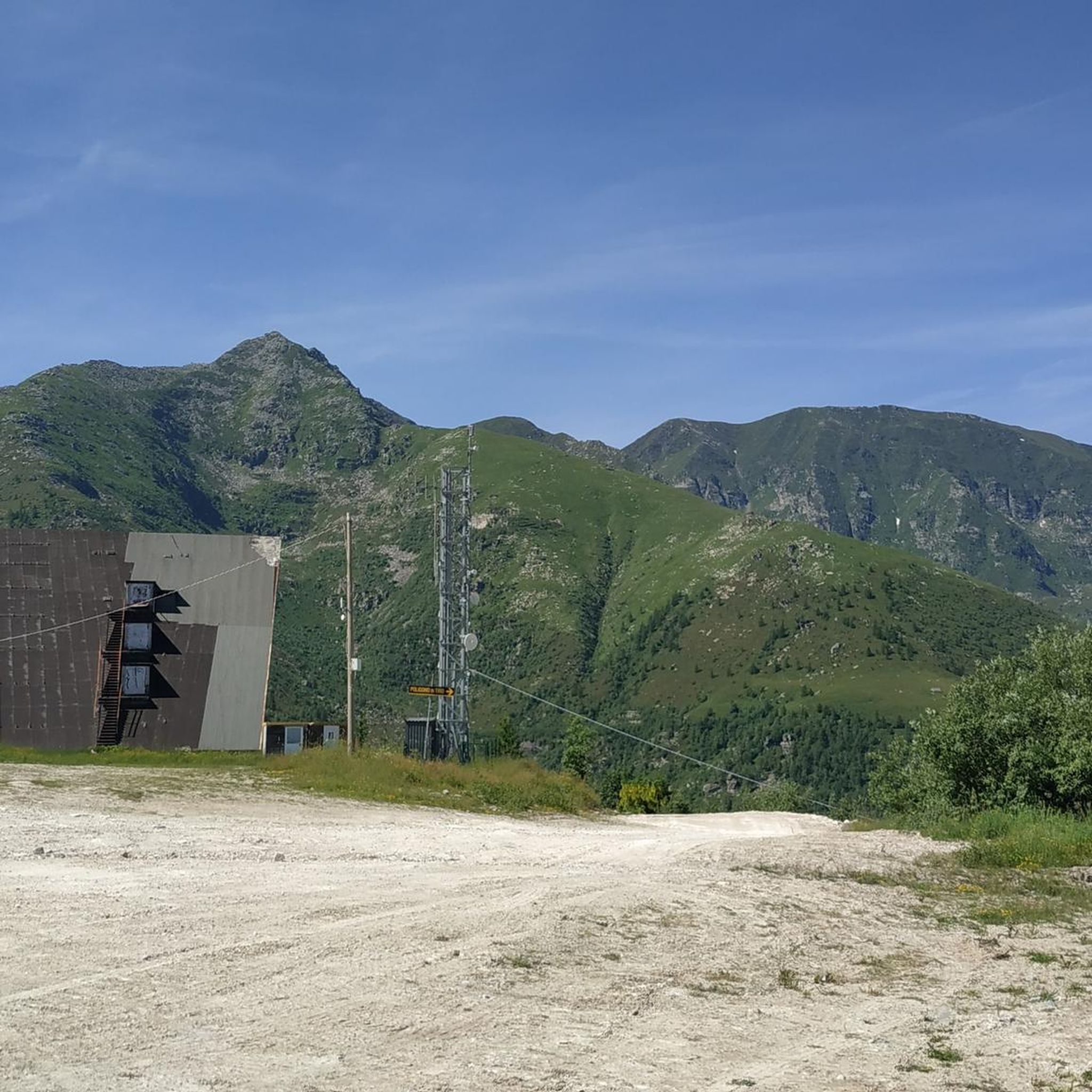
Beautiful and famous lake easily reachable from Pian del Re and Regina.
1
0

Delicious lunch: Polenta with spezzatino and penne all'amatriciana Lounge chairs for a digestive nap Comfortable toilet seat
1
0

This refuge, dedicated to Vitale Giacoletti, is strategically located for ascents of the adjacent peaks and is one of several so-called Viso refuges, located along the various routes of the Viso. While Punta Losas, east of Giacoletti, offers no technical difficulty, those to the west—Monviso, Pointe de Rome, Pointe d'Udine, and Pointe de Venise—require excellent technical ability. Another beautiful via ferrata is the Col du Coloir du Porc, a pass that separates Pointe d'Udine from Pointe de Venise. From here, you can descend into France to the Viso refuge, then climb back up to Punta delle Traversette and, thanks to the short Buco del Viso tunnel (about 80 meters), return to Pian del Re.
11
0
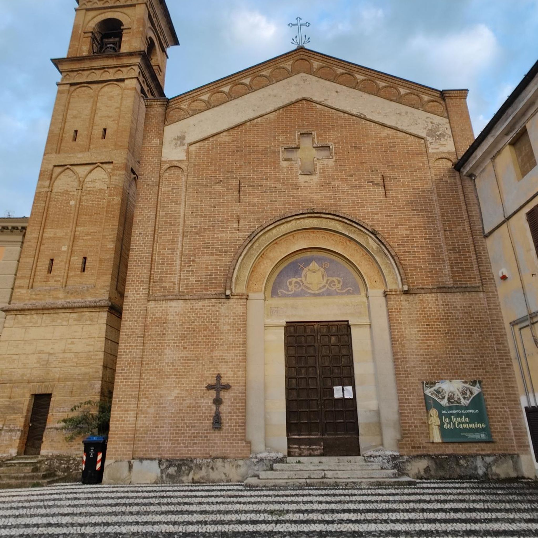
Alpine church, built and inaugurated in 1899, designed by Giuseppe Gastaldi and frescoed by Giuseppe Catei, commissioned by the parish priest of Crissolo, Don Giacomo Lantermino. On July 28, 1892, Lantermino celebrated a mass at the summit of Monviso in the presence of about forty mountaineers. They urged the parish priest to build a votive chapel dedicated to Our Lady of the Snows at this altitude, where a mass could be celebrated every year. The rocky spur at the base of the Pian del Re plateau, clearly visible from the small village of Pian della Regina, was ultimately chosen as the location. Although the initial plan was to build it at the summit of Mount Re di Pietra, it was later abandoned due to the logistical difficulties of building it up there. The church has a characteristic layout that contrasts with those of most other churches: a façade with an entrance to the east and an apse to the west. This choice was undoubtedly made to make it highly visible from the inhabitants of the village of Crissolo below. It has a rectangular body and a bell gable. The church endured a troubled life in the following decades. In fact, only the following year (1900) the chapel's roof collapsed due to heavy snowfall. It was promptly rebuilt; but in the following decades it underwent various renovations and maintenance, until it was no longer used and fell into abandonment and decay in the 1970s, as well as being the target of vandals on several occasions. Between 2005 and 2007, restoration and repair work was carried out, both inside and out, bringing the church back to its current splendor. The façade and interior are decorated in neo-Gothic style and the roof is made of slate.
9
0

Good physical fitness and a good sense of direction are required; trails are not always marked. Mountaineering gear: poles, appropriate clothing, and footwear are essential.
0
0

Frequently Asked Questions
How many mountaineering routes are available around Bagnolo Piemonte?
There are 14 mountaineering routes available around Bagnolo Piemonte. The majority, 12 routes, are classified as difficult, while 2 are moderate, catering primarily to experienced mountaineers.
Are there any family-friendly mountaineering options in Bagnolo Piemonte?
Mountaineering routes around Bagnolo Piemonte are generally challenging, with most classified as difficult. While there are 2 moderate routes, families with younger children or those seeking easier walks might find the terrain demanding. It's best to assess individual fitness levels and experience before attempting these routes.
What kind of terrain can I expect on mountaineering routes in Bagnolo Piemonte?
The terrain around Bagnolo Piemonte is characterized by its mountainous nature, dense forests, and significant alpine features, including the prominent Monviso peak. You'll encounter high-altitude environments, rugged paths, and glacial lakes. Routes like Marmots – Passo Luisas loop from Pian della Regina offer views of alpine passes and high-altitude scenery, while others ascend towards summits like Viso Mozzo.
Are there any circular mountaineering routes available?
Yes, several routes are circular. For example, the Marmots – Passo Luisas loop from Pian della Regina is a 9.3-mile (14.9 km) difficult trail. Another option is the Lac Fiorenza – Viso Mozzo Summit loop from Pian del Re, which is 9.5 miles (15.2 km) and also difficult.
What natural attractions can I see along the mountaineering routes?
The routes often pass by stunning natural features. You can visit the Source of the Po River, Italy's longest river, which originates in this region. Many routes also feature beautiful alpine lakes, such as Lake Fiorenza and Lake Chiaretto. You might also encounter the Pis Waterfall.
What is the best time of year for mountaineering in Bagnolo Piemonte?
The best time for mountaineering in Bagnolo Piemonte is typically during the warmer months, from late spring to early autumn, when trails are generally free of snow and weather conditions are more stable. The region's high-altitude environment means that snow can persist on higher peaks well into summer. Always check local weather forecasts and trail conditions before heading out.
Are there any refuges or huts along the mountaineering trails?
Yes, there are refuges that can serve as stops or accommodations. The Pian del Re Hut is a crucial starting point for many trails, including those leading to Monviso, and provides services for adventurers. The Rifugio Willy Jervis in the Conca del Pra is also a significant stop for those exploring the area.
What do other mountaineers enjoy most about the routes in Bagnolo Piemonte?
The mountaineering routes in Bagnolo Piemonte are highly rated by the komoot community, with an average score of 4.9 stars. Reviewers often praise the majestic peaks of the Cottian Alps, the pristine alpine lakes like Lake Fiorenza, and the rugged, challenging terrain surrounding Monviso, which provides expansive panoramic views.
Where can I find parking for mountaineering routes?
Many mountaineering routes in the region start from key access points like Pian del Re or Pian della Regina, which typically offer parking facilities. These areas serve as strategic bases for exploring the surrounding peaks and are common starting points for day trips and multi-day treks.
Are there any routes that offer exceptional panoramic views?
Absolutely. Routes like the Viso Mozzo Summit – Towards Lake Chiaretto loop from Pian della Regina lead to high points offering expansive panoramic views. Monte Granè, though not a specific mountaineering route listed here, is also known for providing exceptional views of the upper Po Valley and the northwestern Monviso group.
Can I bring my dog on the mountaineering routes?
While many trails in Italy are dog-friendly, specific regulations can vary, especially in protected alpine areas or national parks. It's advisable to check local signage or contact park authorities regarding dog access on specific mountaineering routes around Bagnolo Piemonte, particularly those in higher altitudes or sensitive natural areas.
Are there any permits required for mountaineering in this region?
Generally, permits are not required for standard mountaineering routes in the Cottian Alps around Bagnolo Piemonte. However, if you plan to attempt more technical ascents, such as the 'Normal route' of Monviso, or if you are entering specific protected areas, it's always prudent to verify with local mountain guides or park authorities for any specific requirements or regulations.
Most popular routes around Bagnolo Piemonte
Most popular attractions around Bagnolo Piemonte

Get inspired with the komoot mobile app


Explore more
Browse the best Mountain Hikes & Routes in other regions.
