The best running trails around Mezzenile
4.9
(16)
1,102
runners
85
runs
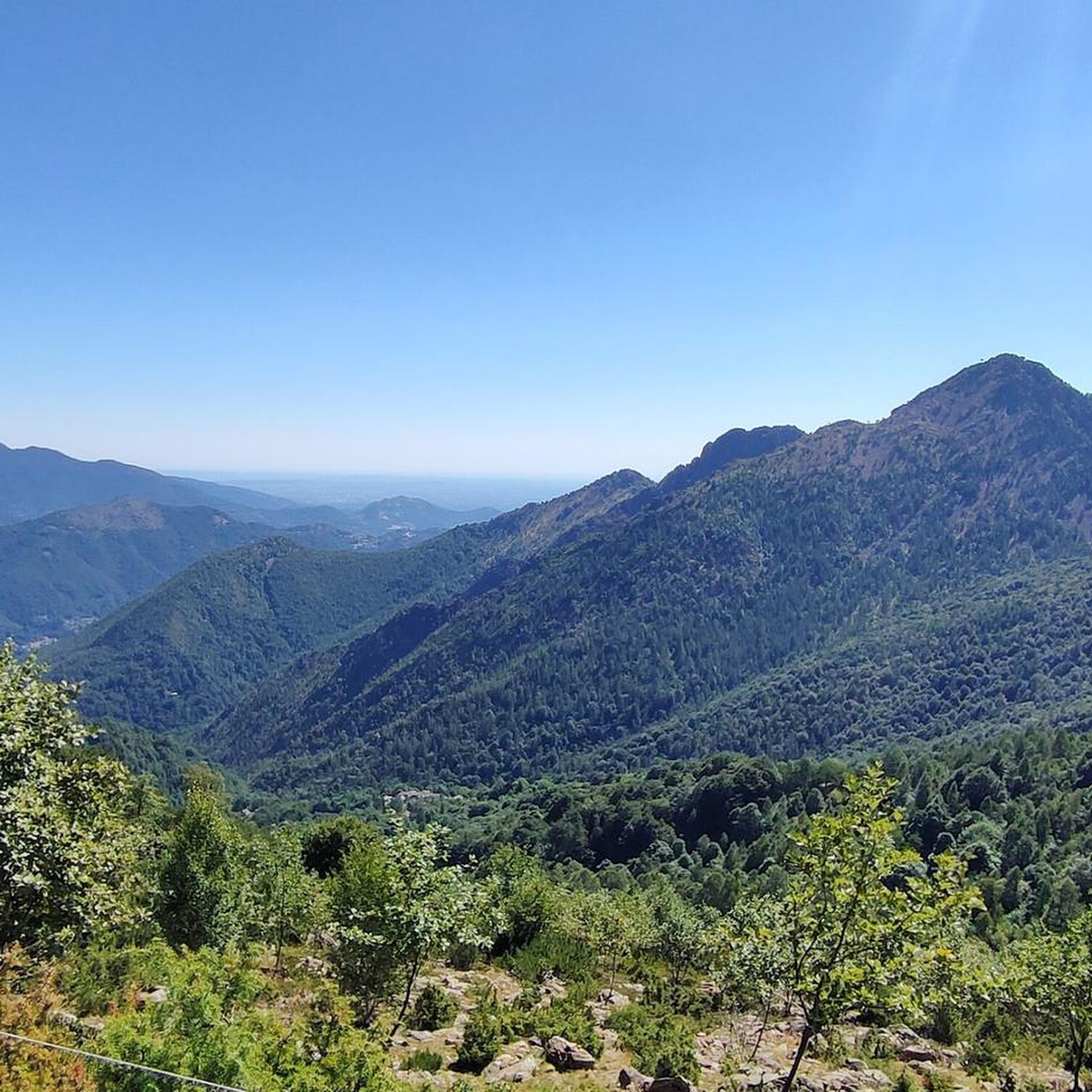
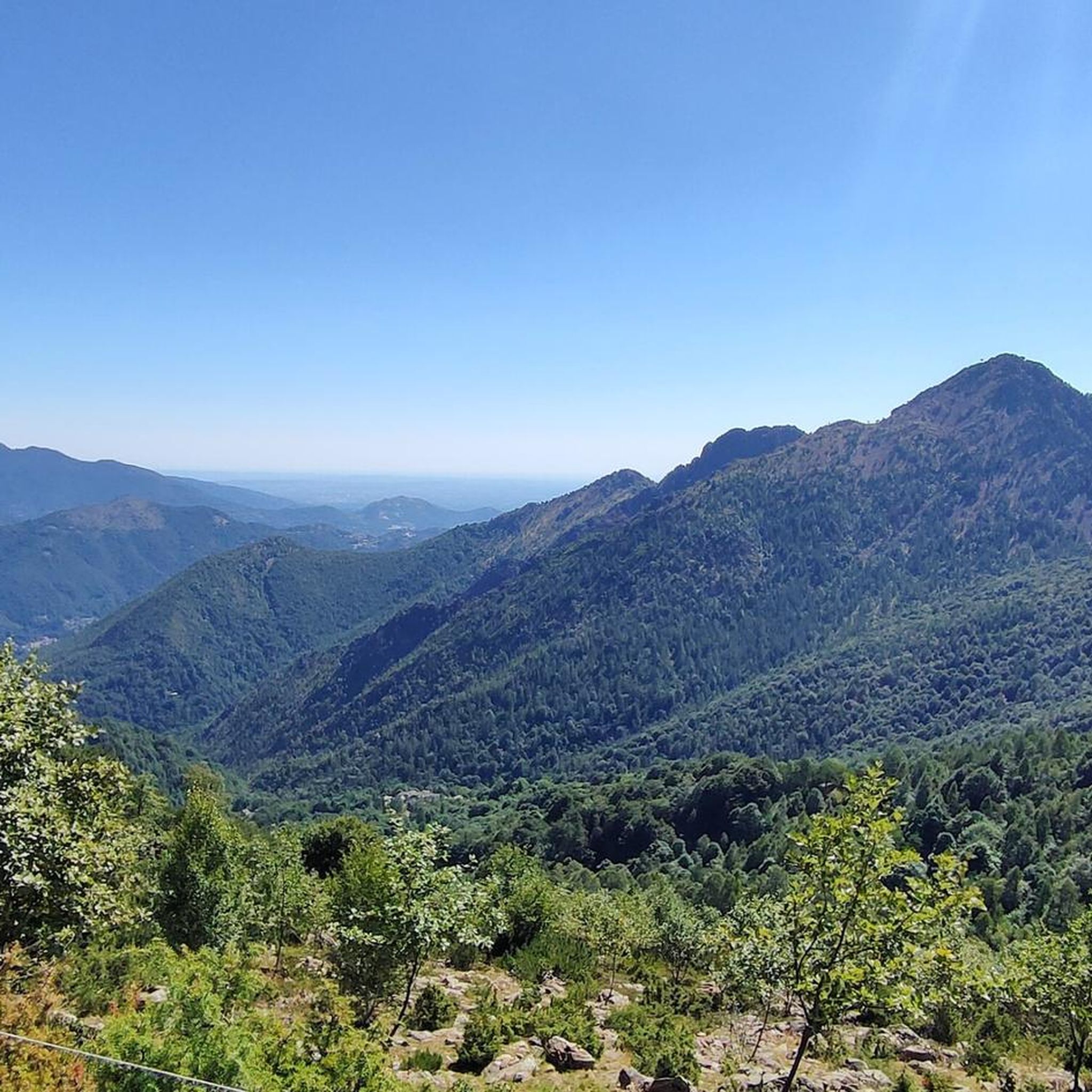
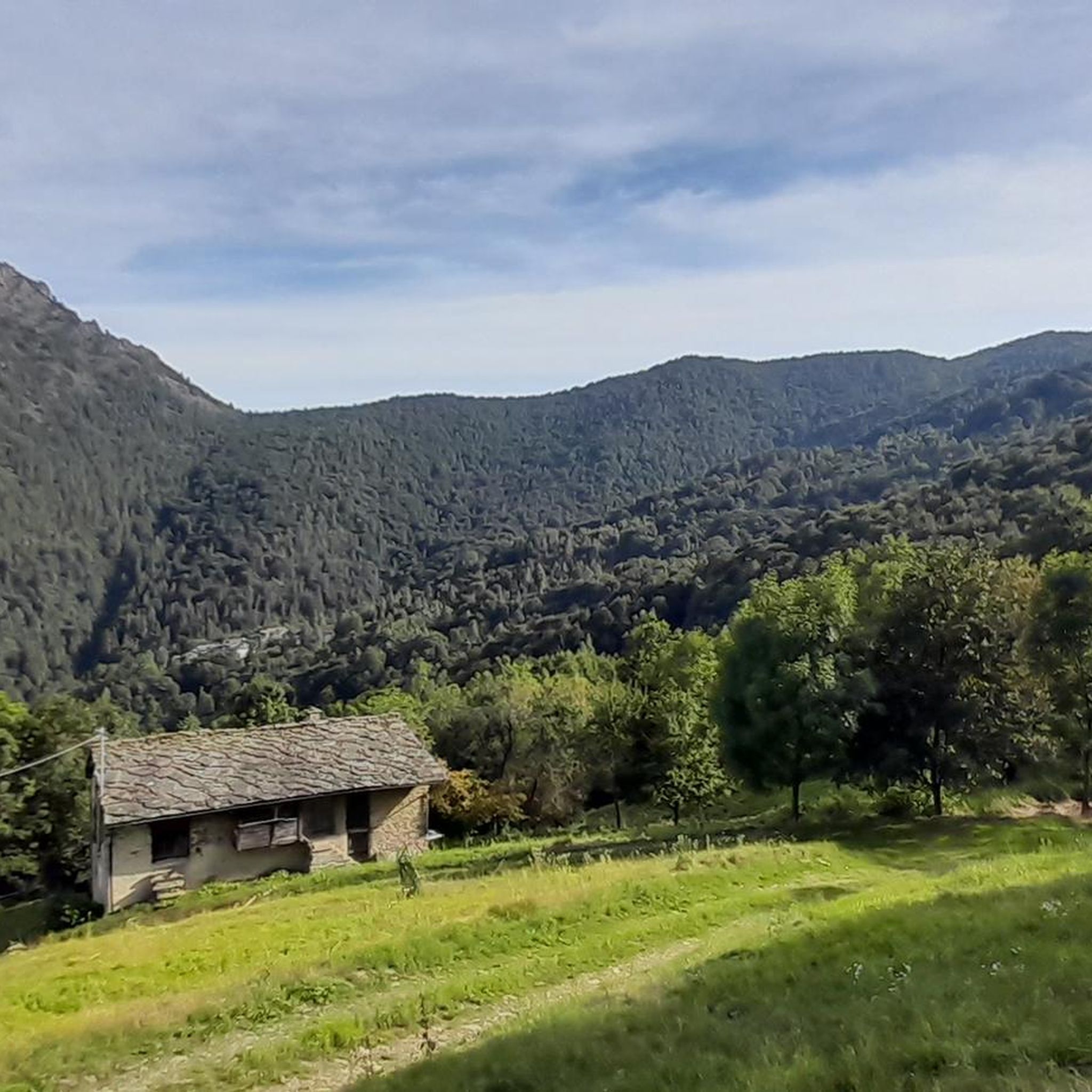
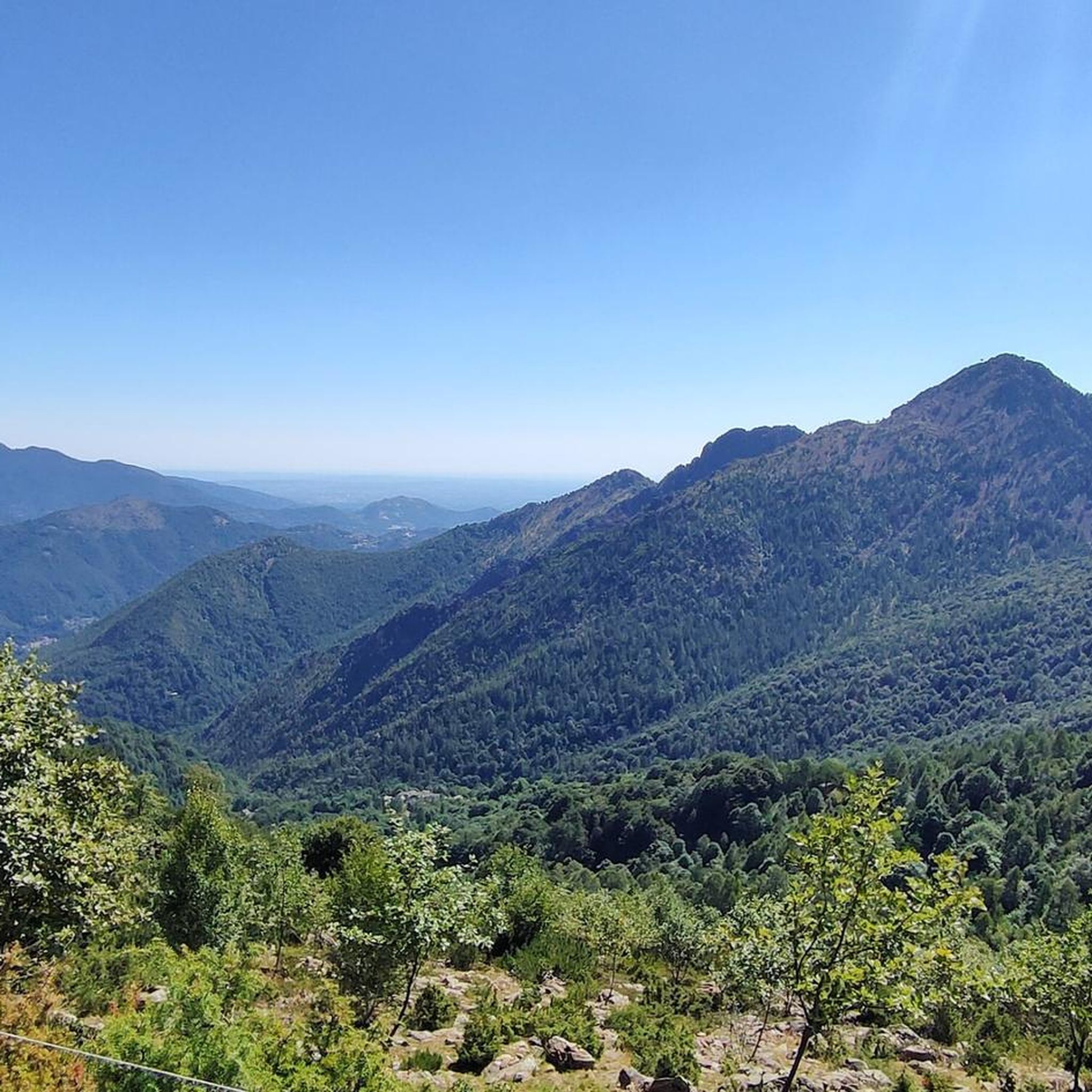
Jogging around Mezzenile offers a diverse landscape for runners, characterized by its mountainous terrain, deep valleys, and scenic lake areas. The region features significant elevation changes, with many routes ascending hills and peaks, providing challenging yet rewarding running experiences. Dense woodlands and open mountain paths are common, offering varied surfaces for different types of running.
Best jogging routes around Mezzenile
- The most popular jogging route is Path of the Valleys Trail, a 4.3 miles (7.0 km) difficult trail that…
Last updated: October 18, 2026
6.96km
01:04
370m
370m
Jog the difficult 4.3-mile Punta Serena trail in Torino province, gaining 1202 feet for panoramic views of the Alps and Turin plain.
30
runners
6.33km
01:29
620m
620m
Hard run. Very good fitness required. Sure-footedness, sturdy shoes and alpine experience required.

4.0
(2)
24
runners
19.0km
02:48
890m
890m
Hard run. Very good fitness required. Sure-footedness, sturdy shoes and alpine experience required.
5
runners
6.73km
01:11
450m
450m
Hard run. Very good fitness required. Sure-footedness, sturdy shoes and alpine experience required.
11
runners
12.0km
01:53
670m
670m
Hard run. Very good fitness required. Mostly paved surfaces. Suitable for all skill levels.
Get access to more routes and recommendations from other explorers.
Already have an account?
Our route recommendations are based on thousands of hikes, rides, and runs completed by other people on komoot.
Start today with a free account
Your next adventure awaits.

Tips from the Community

Reaching Monte Turu from Monte Corno using the path instead of the road was not easy with snowy conditions. The path was invaded by hazel trees and the tracks were largely erased.
1
0

Despite the effort of the climb, the view is worth the commitment, also for the sense of peace that the place offers. Not recommended for those unsure of their balance, because the steps are steep and uneven, it is better to be careful by equipping yourself with suitable footwear and poles. Not recommended in case of heavy rain/snow.
1
0

Getting there is complicated, there is a lot of portage but the descent is beautiful and very fun
0
0

In summer it is easy to reach by car and, from the car park, it offers a series of interesting excursions of various lengths (and difficulty, while remaining substantially simple) in a context that is usually not excessively crowded.
0
0

beautiful sanctuary perched on the coast dividing Ceres and Cantoira
0
0

Dirt road that connects the Forchetta hill to Monastero lake, ideal for an easy walk
1
1
It can be reached with a couple of hours of easy walking from the Forchetta hill, or with a longer walk from the Locana valley. In fact, this Alpine pass separates the municipalities of Monastero di Lanzo with that of Locana, joining the Orco valley and the Lanzo valleys.
1
0

Lake Monastero is a fascinating body of water in the Lanzo valleys, in the municipality of Cantoira. It is easily reachable via a wide dirt road that passes through the Forchetta hill, but there are also shorter paths that cut across the route, all of which can be easily covered by running. Getting here almost always means facing a rather challenging climb, but in a suggestive environment with a view of the Val Grande and the Levanne. To the north-west, the path follows a half-coast, so it is rather flat, on the slope of the La Rossa peak.
1
0
Frequently Asked Questions
How many running routes are available in Mezzenile?
There are over 70 running routes around Mezzenile, offering a diverse range of experiences from challenging mountain ascents to tranquil lake paths and forested trails. The komoot community has explored these routes over 800 times.
Are there any easy jogging routes suitable for beginners in Mezzenile?
Yes, while Mezzenile is known for its challenging terrain, there are 4 easier routes available. These paths offer a gentler introduction to running in the region, often featuring less elevation gain.
What is the typical length of jogging trails in Mezzenile?
The running trails in Mezzenile vary significantly in length. You'll find routes ranging from approximately 4.3 miles (7 km) like the Path of the Valleys Trail, up to longer runs such as the Lago di Monastero loop from Mecca which is about 11.7 miles (18.8 km).
Can I find circular running routes in Mezzenile?
Many of the running routes in Mezzenile are designed as loops, allowing you to start and finish in the same location. Examples include the Monte di Santa Cristina loop from Ceres and the Lago di Monastero loop from Pessinetto.
What kind of scenery can I expect on the jogging routes around Mezzenile?
Jogging around Mezzenile offers a diverse landscape characterized by mountainous terrain, deep valleys, and scenic lake areas. You'll encounter dense woodlands, open mountain paths, and tranquil lake shores, providing varied natural beauty throughout your run.
Are there any specific landmarks or attractions to see along the running trails?
Yes, the region offers several points of interest. While running, you might be near natural features like the Ovarda Waterfall or the Mondrone Waterfall and Gorges. Other notable spots include the historic Devil's Bridge (Ponte del Diavolo).
What do other runners enjoy most about jogging in Mezzenile?
The komoot community highly rates the running experience in Mezzenile, with an average score of 4.7 stars from numerous reviews. Runners often praise the challenging mountain ascents, the tranquility of the lake paths, and the varied forested trails that define the region's running network.
Are there any running routes that pass by lakes in Mezzenile?
Absolutely. Several routes incorporate scenic lakes into their paths. For instance, the Lago di Viana – Lago Pané loop from Tornetti offers beautiful lakeside running, as does the Lago di Monastero loop from Mecca.
What is the best time of year to go running in Mezzenile?
Mezzenile's mountainous and forested terrain is generally most pleasant for running during the spring, summer, and early autumn months when the weather is milder and trails are clear. Winter can bring snow and colder conditions, making some higher elevation routes more challenging or inaccessible.
Are there any running trails with significant elevation gain for a challenging workout?
Mezzenile is characterized by significant elevation changes, making it ideal for challenging runs. Routes like the Monte di Santa Cristina loop from Ceres feature substantial ascents, leading to rewarding panoramic views.
Can I find running routes that are suitable for families with children?
While many routes in Mezzenile are rated as difficult due to elevation, there are 4 easier routes that might be more suitable for families or those looking for a less strenuous run. It's always recommended to check the specific route details for distance and elevation to ensure it matches your family's ability.
Are dogs allowed on the jogging trails in Mezzenile?
Generally, dogs are welcome on many outdoor trails in the Mezzenile region. However, it's always best to check local regulations or specific trail signage, especially in protected areas, and to keep dogs on a leash for their safety and the preservation of wildlife.
Most popular attractions around Mezzenile

Get inspired with the komoot mobile app


Explore more
Browse the best Running Trails & Routes in other regions.
