The best walks and hikes around Racconigi
4.5
(42)
295
hikers
23
hikes
Hiking around Racconigi offers routes through a predominantly flat landscape, characterized by agricultural areas, historical parklands, and urban pathways. The terrain features minimal elevation changes, making it suitable for accessible walks. Paths often connect historical sites like the Royal Castle with the town center and surrounding green spaces.
Best hiking trails around Racconigi
- The most popular hiking route is Racconigi Castle – Racconigi Royal Castle loop from Racconigi, a 3.4 miles (5.5 km) trail that takes 1 hour 23 minutes to complete. This easy route connects historical landmarks within the town's vicinity.
- Another top favourite among local hikers is Racconigi Royal Castle – Historic Center of Racconigi loop from Racconigi, a moderate 6.4 miles (10.3 km) path. This route explores the town's historic core and the royal grounds.
- Local hikers also love the Racconigi cycle and pedestrian path – Cascina Migliabruna loop from La Bërlecia, a 5.7 miles (9.1 km) trail leading through dedicated cycle and pedestrian paths and rural surroundings, often completed in about 2 hours 18 minutes.
- Hiking around Racconigi is defined by historical parklands, agricultural fields, and urban pathways. The network offers options for different ability levels, from easy strolls to longer moderate routes.
- The routes in Racconigi are highly rated by the komoot community with an average score of 4.4 stars from over 30 reviews. More than 200 hikers have used komoot to explore Racconigi's varied terrain.
Last updated: October 4, 2026
10
hikers
5.54km
01:24
10m
10m
Easy hike. Great for any fitness level. Easily-accessible paths. Suitable for all skill levels.
4
hikers
Moderate hike. Good fitness required. Easily-accessible paths. Suitable for all skill levels.

6
hikers
20.4km
05:09
40m
40m
Hard hike. Very good fitness required. Easily-accessible paths. Suitable for all skill levels.
4.5
(2)
7
hikers
12.1km
03:03
20m
20m
Moderate hike. Good fitness required. Easily-accessible paths. Suitable for all skill levels.
5
hikers
7.21km
01:49
10m
10m
Easy hike. Great for any fitness level. Easily-accessible paths. Suitable for all skill levels.
Get access to more routes and recommendations from other explorers.
Already have an account?
Our route recommendations are based on thousands of hikes, rides, and runs completed by other people on komoot.
Start today with a free account
Your next adventure awaits.
Popular around Racconigi
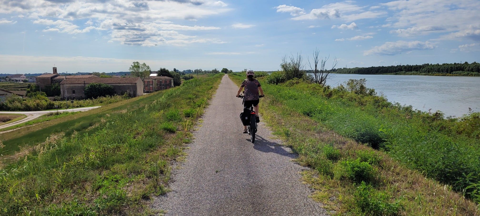
Ciclovie del Po — An all-round experience along Italy's longest river
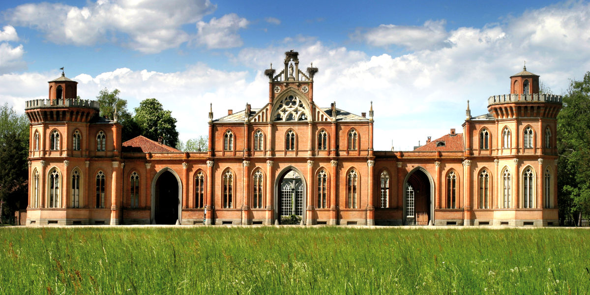
Piedmont by bike – rides among hills, villages and vineyards
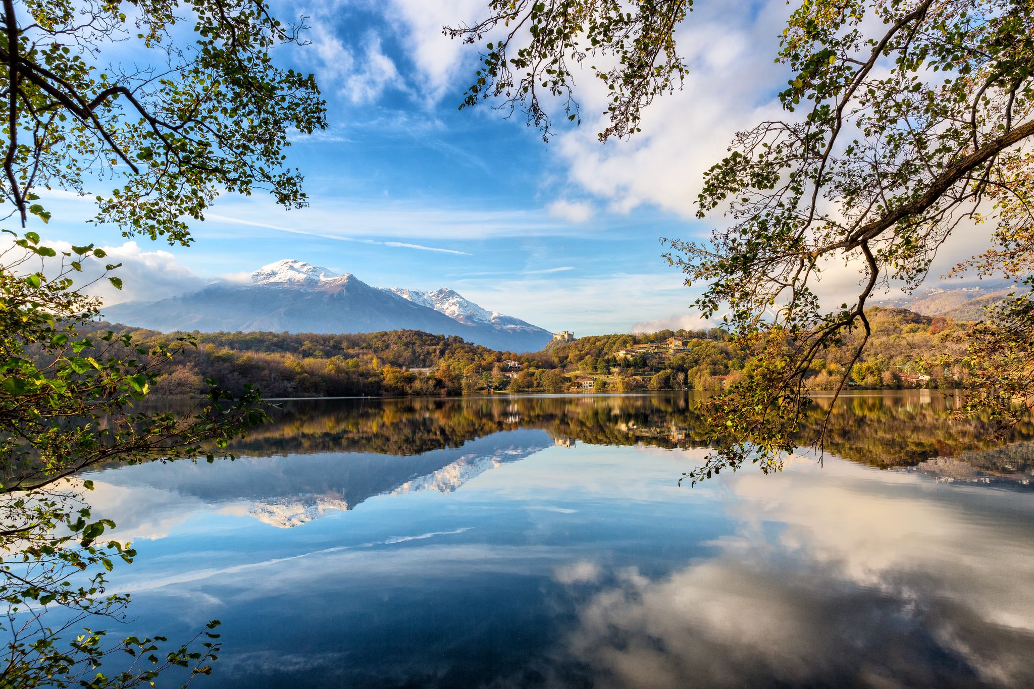
Land of wines, culture, good food – UNESCO Grand Tour in Piedmont
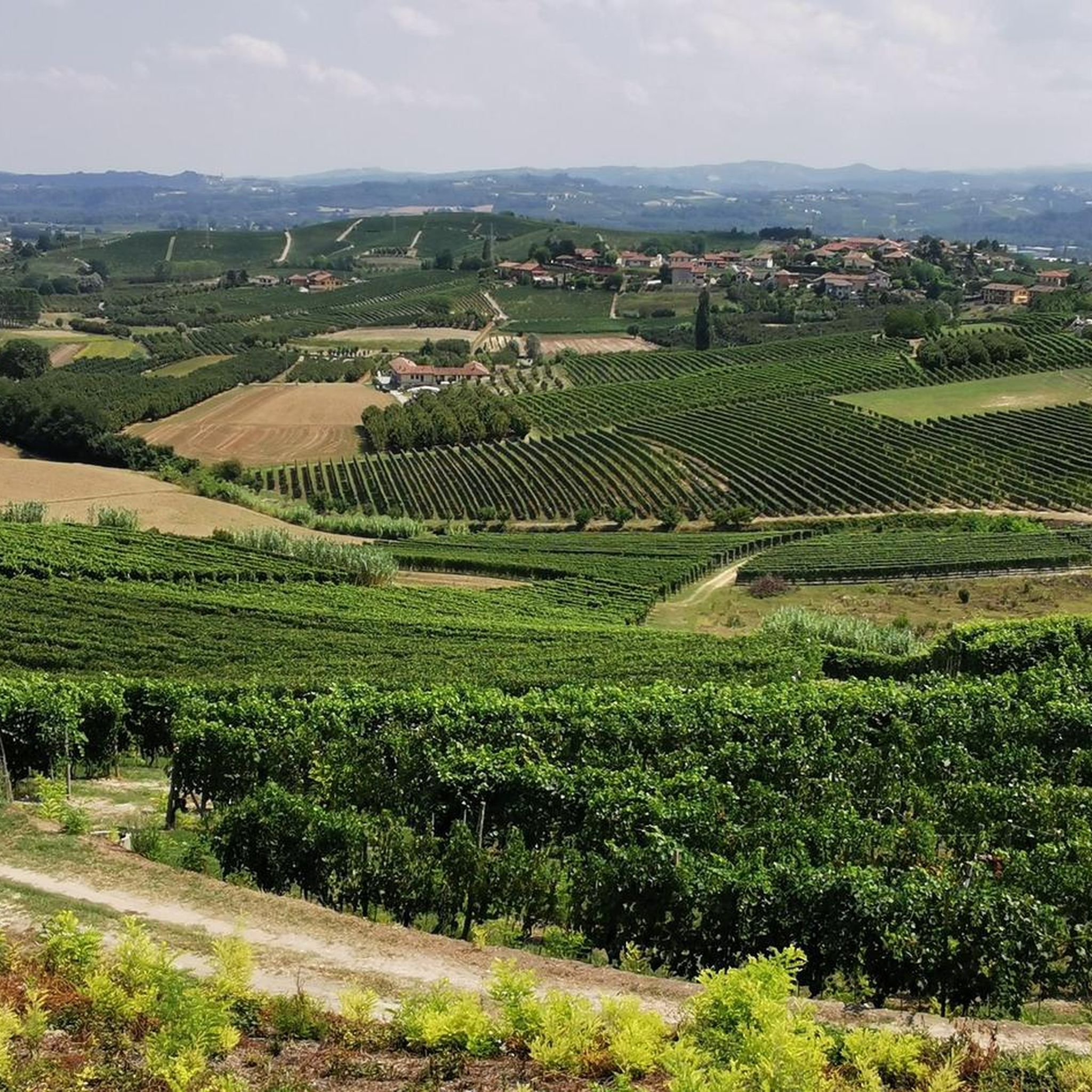
Cycling around Racconigi
MTB Trails around Racconigi

Gravel biking around Racconigi
Road Cycling Routes around Racconigi

Running Trails around Racconigi
Other adventures around Racconigi


Tips from the Community

It is one of the few places left untouched by time.
1
0

nice place to rest and refresh
0
0

New cycle/pedestrian path, a very pleasant stretch that connects Racconigi to the stork and duck centre.
0
0

Always beautiful to see
0
0

Interesting historical relic, unfortunately in a state of abandonment. It deserves to be restored.
0
0

Here you can cycle in the middle of nature along the Maira river. The Maira path is a 52 kilometer route, mostly dirt roads, that connects Villar San Costanzo with the city of Racconigi. We recommend that you keep a controlled speed, as it is possible to encounter a good flow of hikers.
1
0

It is worth a visit if you are passing through, it is relaxing to walk along the paths immersed in nature.
1
0

Completed approximately in 1600. Note the fresco with the image of the saint on the facade of the church.
0
0
Frequently Asked Questions
How many hiking trails are available around Racconigi?
There are over 20 hiking routes documented on komoot for the Racconigi area, catering to various skill levels. This includes 10 easy routes, 10 moderate routes, and 1 more challenging option.
What kind of terrain can I expect on hikes in Racconigi?
Hiking around Racconigi features a predominantly flat landscape, characterized by agricultural areas, historical parklands, and urban pathways. The terrain has minimal elevation changes, making it suitable for accessible walks. Paths often connect historical sites like the Royal Castle with the town center and surrounding green spaces.
Are there any easy, family-friendly hikes in Racconigi?
Yes, Racconigi offers several easy routes suitable for families. An excellent option is the Castello di Racconigi – Historic Center of Racconigi loop from Racconigi, which is just over 3 km long and explores the town's historic core.
Are there any circular walks in Racconigi?
Many of the routes in Racconigi are circular, allowing you to start and end in the same location. For example, the popular Racconigi Castle – Racconigi Royal Castle loop from Racconigi is an easy 5.5 km circular trail connecting historical landmarks.
What historical attractions can I see while hiking in Racconigi?
Racconigi is rich in history. Many trails pass by or lead to significant landmarks. You can explore the magnificent Racconigi Royal Castle, a UNESCO World Heritage site, or discover other historical points of interest like the Monasterolo Castle and the Templar Castle and Church of San Giovanni of Murello.
What do other hikers say about the trails in Racconigi?
The routes in Racconigi are highly rated by the komoot community, with an average score of 4.4 stars from over 30 reviews. Hikers often praise the well-maintained paths, the historical significance of the area, and the pleasant, flat terrain perfect for relaxed strolls.
Are there any longer, more challenging hikes in the area?
While Racconigi is known for its generally flat terrain, there is a longer route for those seeking a greater challenge. The Chiesa di San Rocco – Racconigi Royal Castle loop from Racconigi is a difficult 20.3 km trail that offers an extended exploration of the region.
Can I reach hiking trails in Racconigi using public transport?
Racconigi is well-connected by regional train services, making it accessible via public transport. The town's train station is centrally located, allowing easy access to the starting points of many urban and parkland trails, including those leading to the Royal Castle.
Are there dog-friendly hiking options in Racconigi?
Many of the paths through the agricultural fields and parklands around Racconigi are suitable for walking with dogs, provided they are kept on a leash. It's always advisable to check local regulations, especially within protected areas like the Royal Castle grounds, and to ensure your dog is comfortable with the distance and environment.
What is the best season for hiking in Racconigi?
Racconigi offers pleasant hiking conditions throughout much of the year. Spring and autumn provide mild temperatures and beautiful scenery, with blooming flowers or vibrant fall foliage. Summer can be warm, but the flat terrain and tree-lined sections offer some respite. Winter hiking is also possible, though conditions may vary.
Are there places to eat or drink near the hiking routes?
Yes, Racconigi's town center, which many routes pass through or start from, offers various cafes, restaurants, and pubs where you can refresh yourself before or after your hike. You'll find options ranging from quick coffee stops to traditional Italian eateries.
Where can I park my car when hiking in Racconigi?
Racconigi has several public parking areas, particularly around the town center and near major attractions like the Royal Castle. These spots are generally convenient for accessing many of the hiking trailheads. Always check for any parking restrictions or fees.
Most popular routes around Racconigi
Most popular attractions around Racconigi

Get inspired with the komoot mobile app


Explore more
Browse the best Hikes in other regions.
