The best running trails around Exilles
4.2
(36)
2,379
runners
134
runs
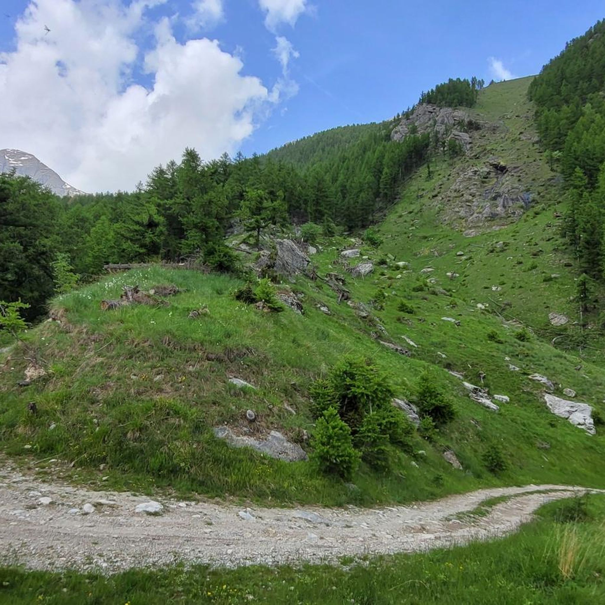
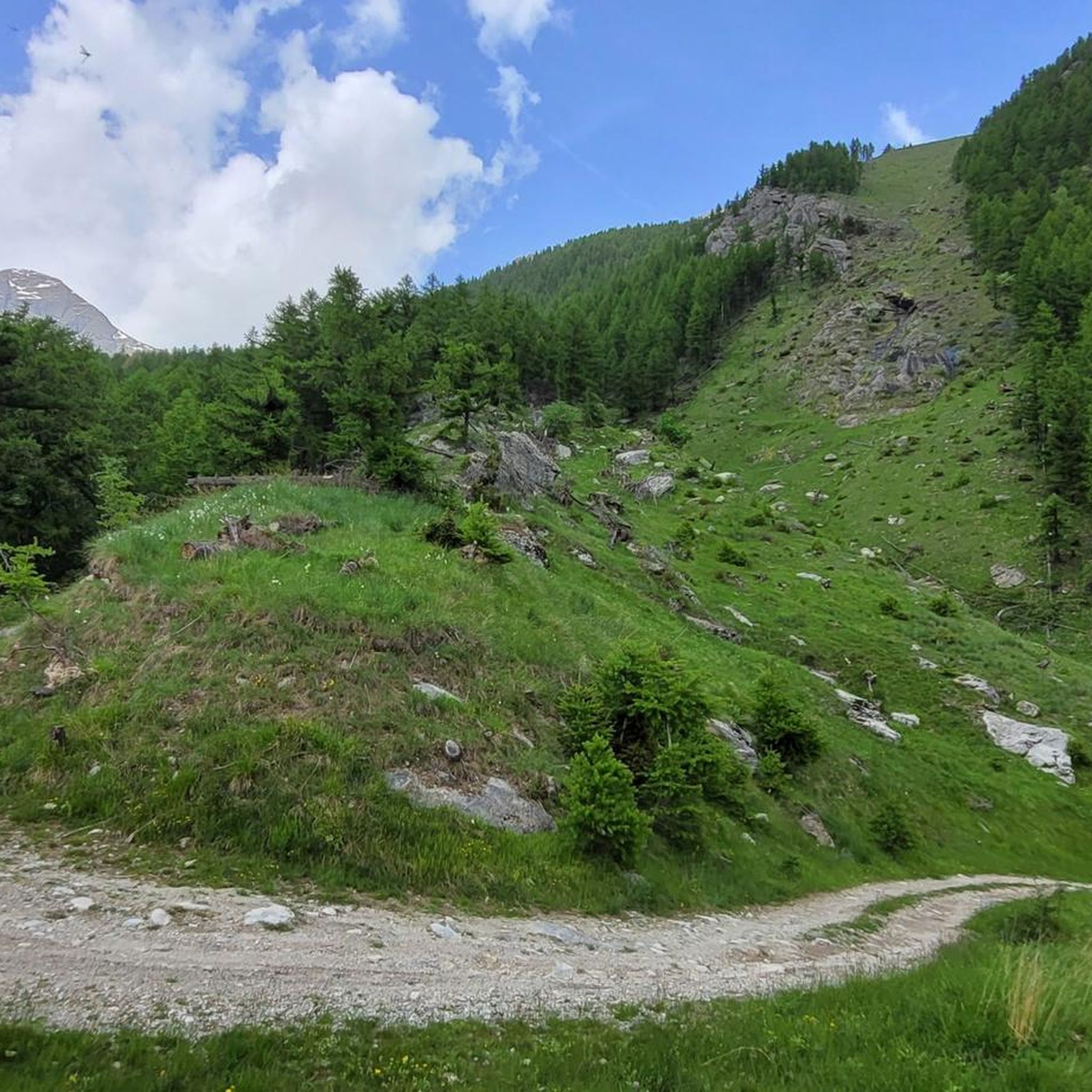
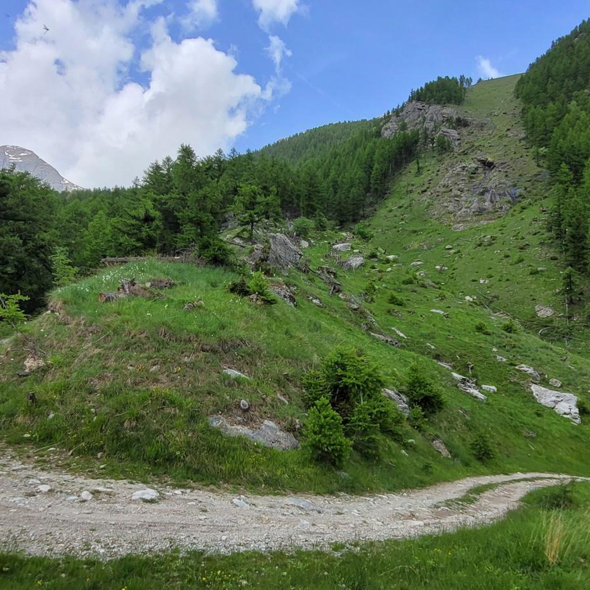
Jogging routes around Exilles are set within Italy's Alta Valle di Susa, characterized by the dramatic landscapes of the Cottian Alps. The region features rocky peaks, deep gorges, and natural sculptures, with the Chisone River adding to the natural environment. Trails often traverse the Val Troncea Natural Park and Salbertrand Great Forest Natural Park, providing extensive natural spaces for running.
Best jogging routes around Exilles
- The most popular jogging route is From Pragelato to Pattermouche – Parco Naturale della Val…
Last updated: October 4, 2026
4.5
(2)
148
runners
9.88km
01:12
140m
140m
Moderate run. Good fitness required. Mostly paved surfaces. Suitable for all skill levels.
4.0
(1)
30
runners
11.2km
03:09
1,380m
1,380m
Hard run. Very good fitness required. Sure-footedness, sturdy shoes and alpine experience required.

8
runners
13.3km
01:39
240m
240m
Moderate run. Good fitness required. Mostly accessible paths. Some sure footedness required.
5
runners
7.05km
01:17
450m
450m
Hard run. Very good fitness required. Sure-footedness, sturdy shoes and alpine experience required.
2
runners
Hard run. Very good fitness required. Sure-footedness, sturdy shoes and alpine experience required.
Get access to more routes and recommendations from other explorers.
Already have an account?
Our route recommendations are based on thousands of hikes, rides, and runs completed by other people on komoot.
Start today with a free account
Your next adventure awaits.



Other adventures around Exilles

Tips from the Community


crossing the Chisone River at Fraisse
0
0
starting point for various Alpine tours
0
0


Rest stop before tackling the final 8 km climb to Sestriere (2035 m). Eat some protein and remember to bring water. The climb is always exposed to the sun. The average gradient is 6%.
0
0


At just over 3,000 meters above sea level, Monte ALBERGIAN is by no means the largest in the so-called "Cottian Alps", but still offers an impressive panorama. Like many other mountains, it is crowned with a summit cross. The longitudinal and cross beams are formed by a metal frame, which has been reinforced by x-shaped struts in the interior spaces for stability. An additional circle or ring is attached around the intersection of both bars. It's not a huge cross (at 3 to 3.5 meters high, I estimate), but it sits majestically on the mountain peak and is clearly visible.
3
0
Frequently Asked Questions
How many running routes are available around Exilles?
There are over 90 running routes around Exilles, offering a wide variety of options for different fitness levels and preferences. The region's dramatic alpine landscapes provide a stunning backdrop for your runs.
What kind of terrain can I expect on jogging routes near Exilles?
Jogging routes near Exilles feature diverse terrain, from paved surfaces to more challenging paths requiring good fitness and sure-footedness. You'll encounter rocky peaks, deep gorges, and natural sculptures, often traversing natural parks like the Val Troncea and Salbertrand Great Forest. Some routes may even demand alpine experience.
When is the best time of year for running in Exilles?
The warmer months are generally the best time to visit Exilles for running and outdoor exploration. During this period, the village is more lively, and the trails are typically more accessible and enjoyable.
Are there any easy running routes for beginners in Exilles?
Yes, Exilles offers a few easy running routes suitable for beginners or those looking for a less strenuous experience. Overall, there are 2 easy routes, 27 moderate routes, and 69 difficult routes available, ensuring options for all abilities.
Are there any circular running routes in Exilles?
Yes, you can find circular running routes around Exilles. For example, the Pragelato to Lake Pourrières Loop is an 8.3-mile (13.3 km) moderate trail within the Val Troncea Natural Park. Another option is the Capanna Ambrogio e Fraisse da Pragelato – loop in the Parco Naturale della Val Troncea, a more challenging 10-mile (16 km) run.
What are some notable natural features or landmarks I might see while running near Exilles?
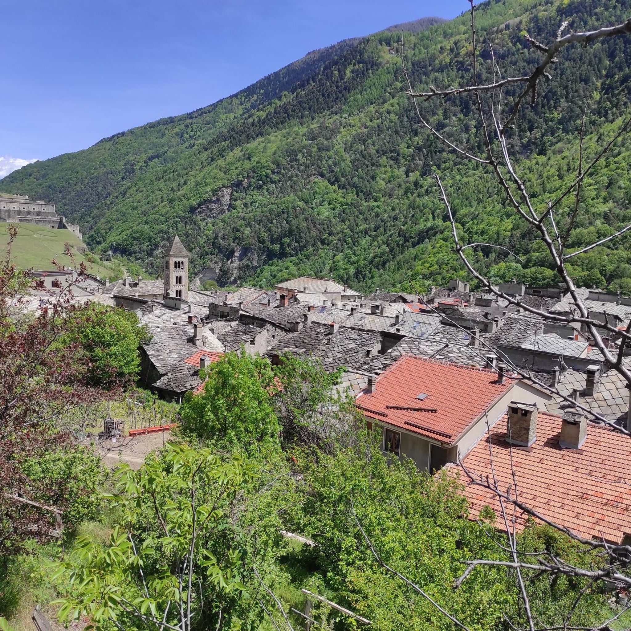
While running near Exilles, you'll be surrounded by the majestic Cottian Alps, offering breathtaking views. The Chisone River also flows through the area, adding to the natural beauty. You might also encounter impressive natural sculptures carved by atmospheric phenomena. For historical interest, the Fort of Exilles, a 17th-century fortification, provides panoramic views of the alpine landscape.
Are there any running routes that pass by waterfalls?
Yes, there are opportunities to see waterfalls near Exilles. You could explore routes that take you close to the Waterfalls Behind Rifugio Scarfiotti, the Novalesa Waterfall, or the Villaretto Waterfall. These natural attractions add a scenic element to your run.
What do other runners enjoy most about jogging in Exilles?
The running routes around Exilles are highly rated by the komoot community, with an average score of 4.3 stars from over 24 reviews. Runners often praise the dramatic alpine landscapes, the diverse trails within natural parks like Val Troncea, and the variety of options catering to different ability levels, from moderate paths to challenging mountain runs.
Are there any long-distance running trails near Exilles?
Yes, Exilles offers several long-distance running trails, many of which are classified as difficult due to significant elevation gain. An example is the Capanna Ambrogio e Fraisse da Pragelato – loop in the Parco Naturale della Val Troncea, which covers approximately 10 miles (16 km) with substantial elevation changes.
Can I find challenging trail running options in the Exilles area?
Absolutely. The Exilles area, nestled in the Cottian Alps, is known for its challenging trail running options. Many routes feature significant elevation gain and require very good fitness, sure-footedness, and sturdy shoes. The Monte Albergian da Pragelato – Parco Naturale della Val Troncea is a prime example, offering a difficult 7-mile (11.2 km) path with alpine views.
Are there any huts or refuges accessible from running routes near Exilles?
Yes, several huts and refuges are located in the vicinity of Exilles, which can be points of interest or rest stops on longer runs. These include the Assietta Refuge, Rifugio Scarfiotti, and Levi Molinari Hut, among others. You can find more details in the guide to Huts and Cabins around Exilles.
Most popular routes around Exilles
Most popular attractions around Exilles

Get inspired with the komoot mobile app


Explore more
Browse the best Running Trails & Routes in other regions.
