The best walks and hikes around Pramollo
4.0
(202)
1,286
hikers
18
hikes
Hiking around Pramollo offers a varied landscape characterized by lush meadows, dense forests, and steep peaks within the Carnic Alps. The region features prominent mountain peaks like Monte Freidour and Punta dell'Aquila, providing diverse viewpoints. Alpine passes such as Colle del Crò and Colle Vaccera connect different valleys, while picturesque lakes like Lago Verde Piccolo add to the natural features. The Pramollo hiking terrain also includes areas of geological significance with ancient sedimentary rocks.
Best hiking trails around Pramollo
- The…
Last updated: August 17, 2026
10
hikers
6.37km
02:34
380m
380m
Moderate hike. Good fitness required. Mostly accessible paths. Sure-footedness required.
2
hikers
8.72km
03:43
490m
490m
Moderate hike. Good fitness required. Mostly accessible paths. Sure-footedness required.

Sign up for free
13.3km
04:53
760m
760m
Moderate hike. Good fitness required. Mostly accessible paths. Sure-footedness required.
1
hikers
15.9km
06:43
870m
870m
Hard hike. Very good fitness required. Sure-footedness, sturdy shoes and alpine experience required.
4.5
(17)
102
hikers
8.53km
02:53
460m
460m
Moderate hike. Good fitness required. Mostly accessible paths. Sure-footedness required.
Get access to more routes and recommendations from other explorers.
Sign up for free
Already have an account?
Our route recommendations are based on thousands of hikes, rides, and runs completed by other people on komoot.
Start today with a free account
Your next adventure awaits.
Login or Signup


Tips from the Community


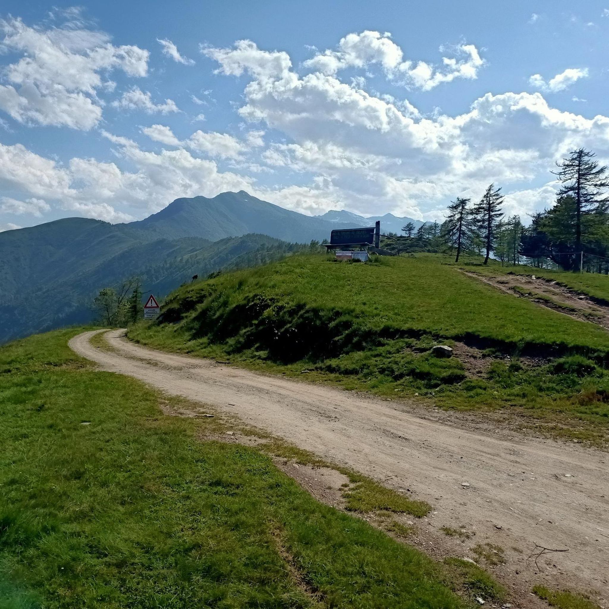
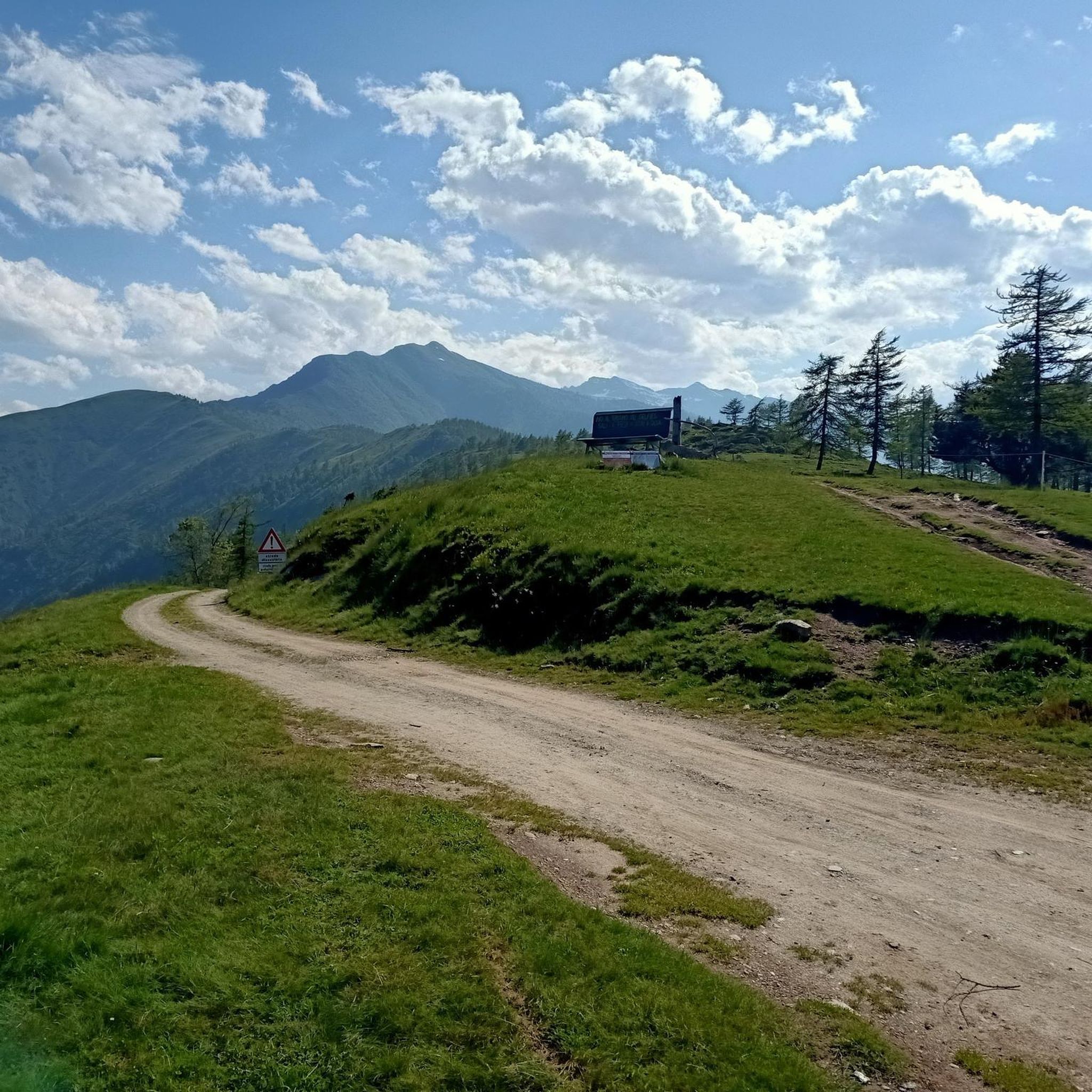
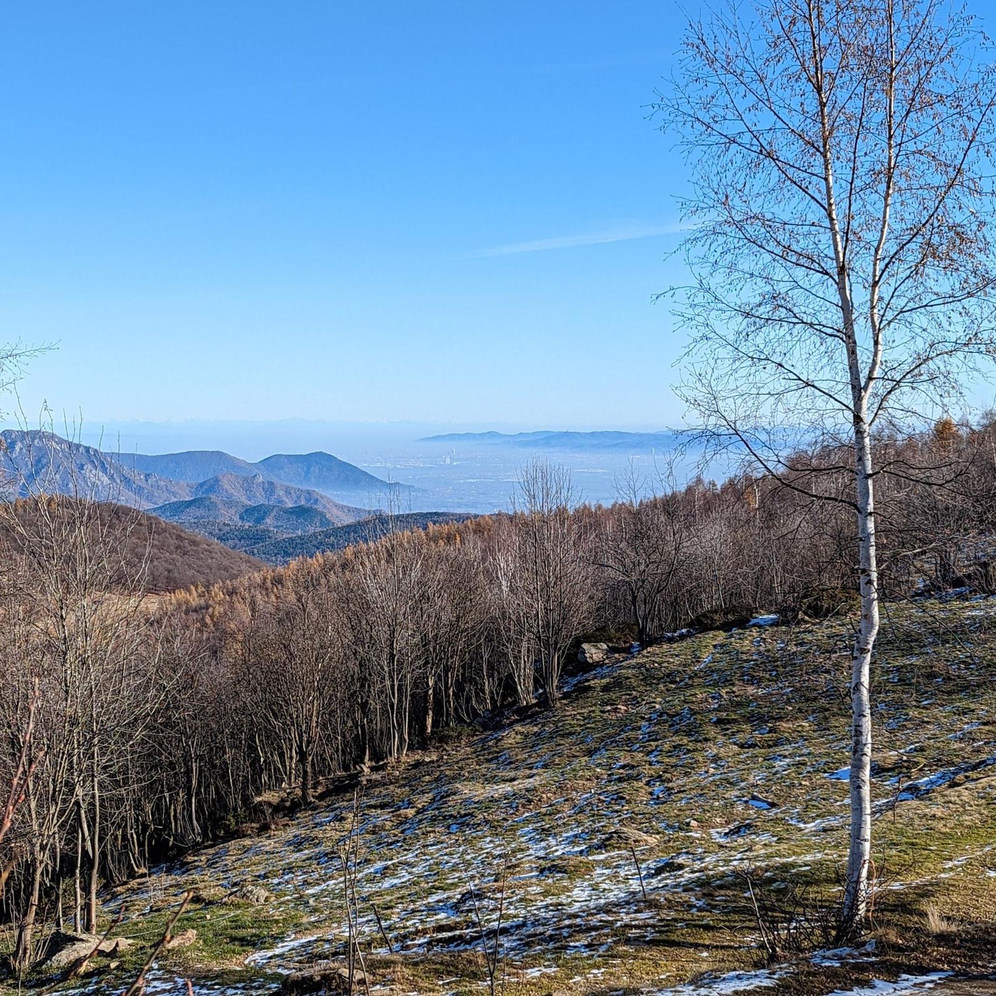
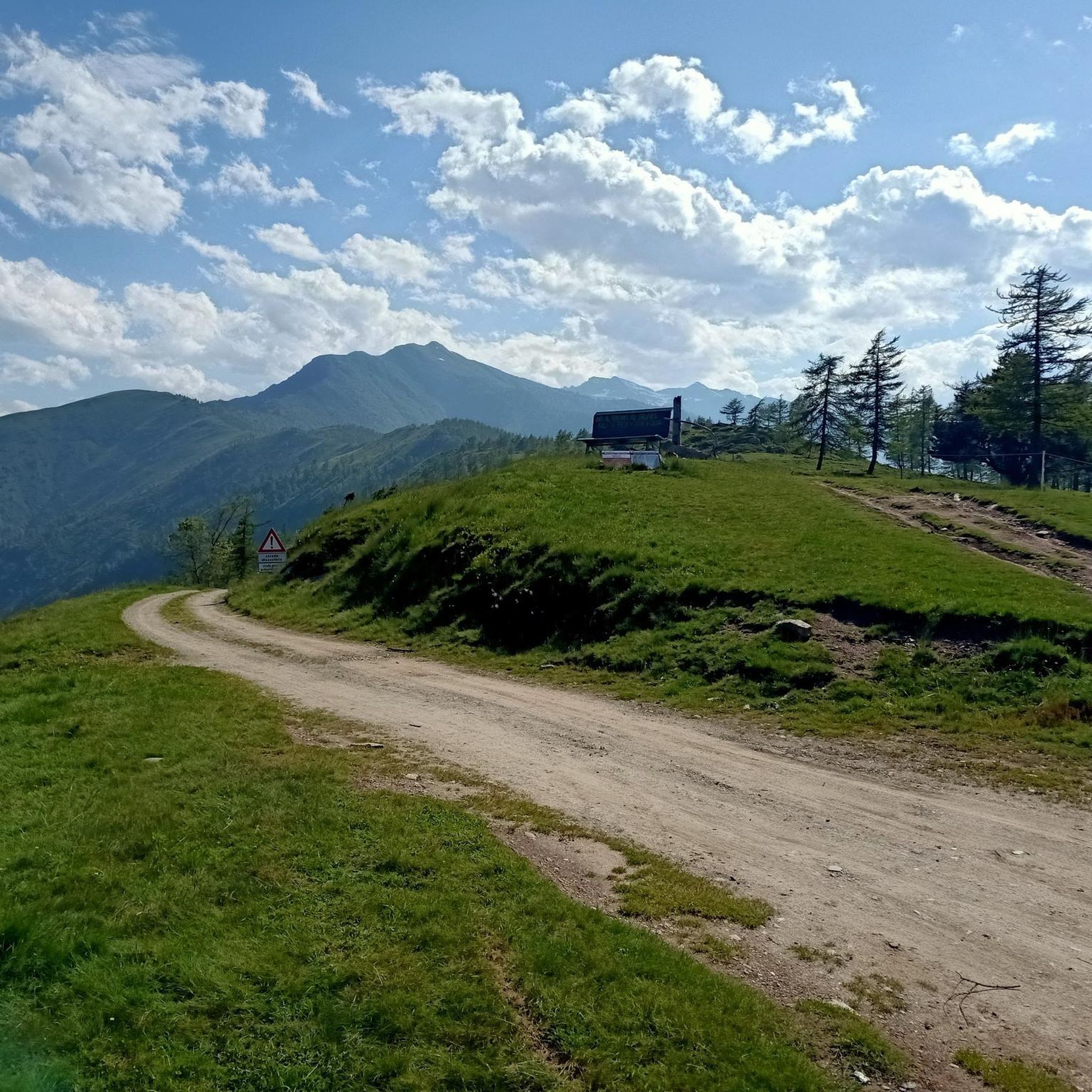
Beautiful panoramic pass reachable from Val Germanasca (Perrero) or from Val Chisone (Pramollo).
1
0

very beautiful panoramic point
0
0

Exit from the woods onto the road that goes down to the Ruata parking square
0
0
Two indications, one for Leiretta, the other for Col Lazarà
0
0
With a small detour you can go around the lake and return to the Sentieri della Resistenza (SDR) path. There are a couple of picnic tables in the pine forest
0
0
Equipped area with attached parking on the opposite side, reachable by car from Ruata; there are tables and benches and two protected stone barbecue areas. Otherwise it is forbidden to light fires.
0
0

A long road that is unpaved in the upper part, connects the Chisone valley (municipality of Pramollo) to the Germanasca valley (municipality of Perrero) and the Lazzarà hill is its highest point at 1595 meters. Destination of beautiful walks and bike rides, but it can also be reached by car if the road is not icy. A few meters away there is the green big bench
1
0
Frequently Asked Questions
What kind of terrain can I expect when hiking in Pramollo?
Pramollo offers a diverse landscape, ranging from lush meadows and dense forests of beech and birch to steep mountain peaks. You'll encounter varied terrain, including alpine passes and areas of geological significance with ancient sedimentary rocks. The region is part of the Carnic Alps, providing a mix of challenging ascents and more gentle paths.
How many hiking routes are available in Pramollo?
There are over 15 hiking routes documented on komoot for the Pramollo region. These trails cater to various skill levels, from moderate paths to more difficult ascents, ensuring options for different abilities.
Are there any circular hiking routes in Pramollo?
Yes, Pramollo features several circular routes. For example, the Monte Servin and Monte Cialmetta Loop is a challenging 9.9-mile (15.9 km) trail that takes you through varied mountain terrain. Another option is the Big Bench Lazzarà – Colle Lazzarà loop from Pramollo, a moderate 8.4 km route.
What are some notable natural features or landmarks to see while hiking in Pramollo?
Pramollo is rich in natural beauty and historical points. You can explore prominent peaks like Monte Freidour, which features a summit cross and offers expansive panoramas, or Punta dell'Aquila for a fantastic 360-degree view. Alpine passes such as Colle Vaccera and Colle del Crò provide scenic routes. The region is also known for its geological significance, with the Pramollo-Nassfeld cross-border Geotrail showcasing ancient sedimentary rocks and fossils.
What is the best time of year to go hiking in Pramollo?
The hiking season in Pramollo typically runs from spring through autumn, when the weather is most favorable for exploring the trails. During these months, you can enjoy lush meadows and comfortable temperatures. While some areas might be accessible, winter hiking can be challenging due to snow and ice, requiring specialized gear and experience.
Are there challenging hikes for experienced trekkers in Pramollo?
Absolutely. Pramollo offers several difficult routes for experienced hikers seeking a challenge. The Monte Servin and Monte Cialmetta Loop, for instance, is a difficult 9.9-mile (15.9 km) trail with significant elevation gain. These routes often require very good fitness, sure-footedness, sturdy shoes, and alpine experience.
What do other hikers enjoy most about hiking in Pramollo?
The komoot community highly rates the hiking experience in Pramollo, with an average score of over 4 stars from more than 180 reviews. Hikers often praise the diverse terrain, the stunning panoramic views from peaks like Punta dell'Aquila, and the variety of routes available for different skill levels.
Are there any family-friendly hiking options in Pramollo?
While many routes in Pramollo are moderate to difficult, there are options suitable for families. The region's diverse terrain includes easier walks, particularly around areas like Colle del Crò, which offers amenities such as picnic areas. Look for trails with less elevation gain and shorter distances for a more relaxed family outing.
Can I bring my dog on the hiking trails in Pramollo?
Generally, dogs are welcome on hiking trails in Pramollo. However, it's always advisable to keep your dog on a leash, especially in areas with wildlife or livestock. Be mindful of local regulations and ensure your dog is well-behaved and can handle the terrain and distance of your chosen route.
Are there places to eat or stay near the hiking trails in Pramollo?
Yes, some areas in Pramollo offer amenities for hikers. For example, Colle del Crò features a picnic area and an inn providing local cuisine and accommodation. Colle Vaccera also has beautiful views and is a known spot for amenities. You can often find refuges and small eateries in or near the valleys connecting the trails.
What are the parking options for hikers in Pramollo?
Parking is generally available at trailheads and popular starting points for hikes in Pramollo. Specific parking information can often be found on individual route descriptions. Areas like Colle del Crò and Colle Vaccera, which serve as access points to various trails, typically have designated parking facilities.
Are there any less strenuous or moderate hikes in Pramollo?
Yes, Pramollo offers a good selection of moderate hikes. The Ridge walk from Rifugio Vaccera to Monte Cialmetta (via Trail 150) is a moderate 4.0-mile (6.4 km) trail offering ridge views. Another moderate option is From Bivio Big Pin to Cima del Truc Lausa (via Trail 362), a 5.4-mile (8.7 km) path leading to a peak with panoramic vistas.
Most popular routes around Pramollo
Most popular attractions around Pramollo

Get inspired with the komoot mobile app


Explore more
Browse the best Hikes in other regions.
