The best walks and hikes around Borgone Susa
4.5
(1524)
6,310
hikers
41
hikes
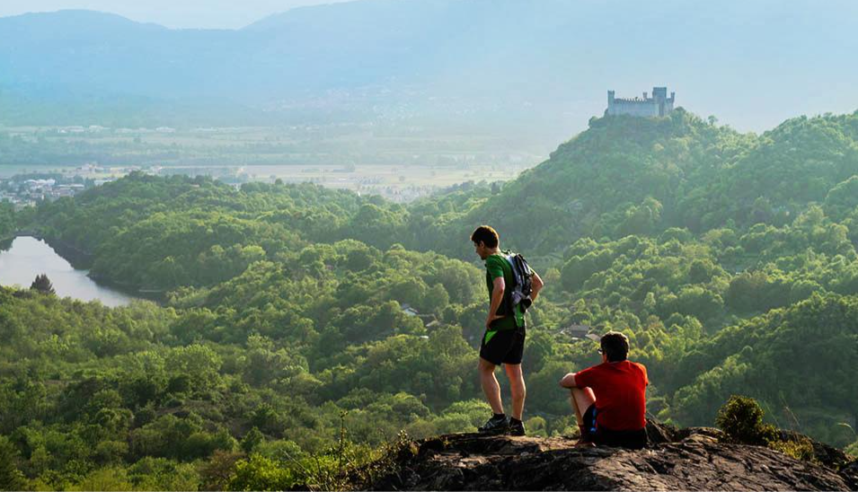
Hiking around Borgone Susa offers diverse landscapes within Italy's Susa Valley. The region features mountainous terrain with lush green meadows and rugged higher elevations, characteristic of the Piedmontese Alps. Hikers encounter varied natural beauty, from cobblestone villages to forest paths and limestone cliffs. The area provides access to high peaks and expansive openings.
Best hiking trails around Borgone Susa
- The most popular hiking route is Pino Torinese Observatory Trail (via Route 566), a 3.8 miles (6.2 km) trail that…
Last updated: October 12, 2026
2
hikers
12.1km
05:36
920m
920m
Hard hike. Very good fitness required. Mostly accessible paths. Sure-footedness required.
4.0
(2)
4
hikers
6.16km
02:07
320m
320m
Moderate hike. Good fitness required. Easily-accessible paths. Suitable for all skill levels.

5.0
(4)
19
hikers
13.0km
06:03
1,030m
1,030m
Hard hike. Very good fitness required. Sure-footedness, sturdy shoes and alpine experience required.
4.7
(7)
16
hikers
Hard hike. Very good fitness required. Mostly accessible paths. Sure-footedness required.
4.8
(4)
13
hikers
Hard hike. Very good fitness required. Mostly accessible paths. Sure-footedness required.
Get access to more routes and recommendations from other explorers.
Already have an account?
Our route recommendations are based on thousands of hikes, rides, and runs completed by other people on komoot.
Start today with a free account
Your next adventure awaits.
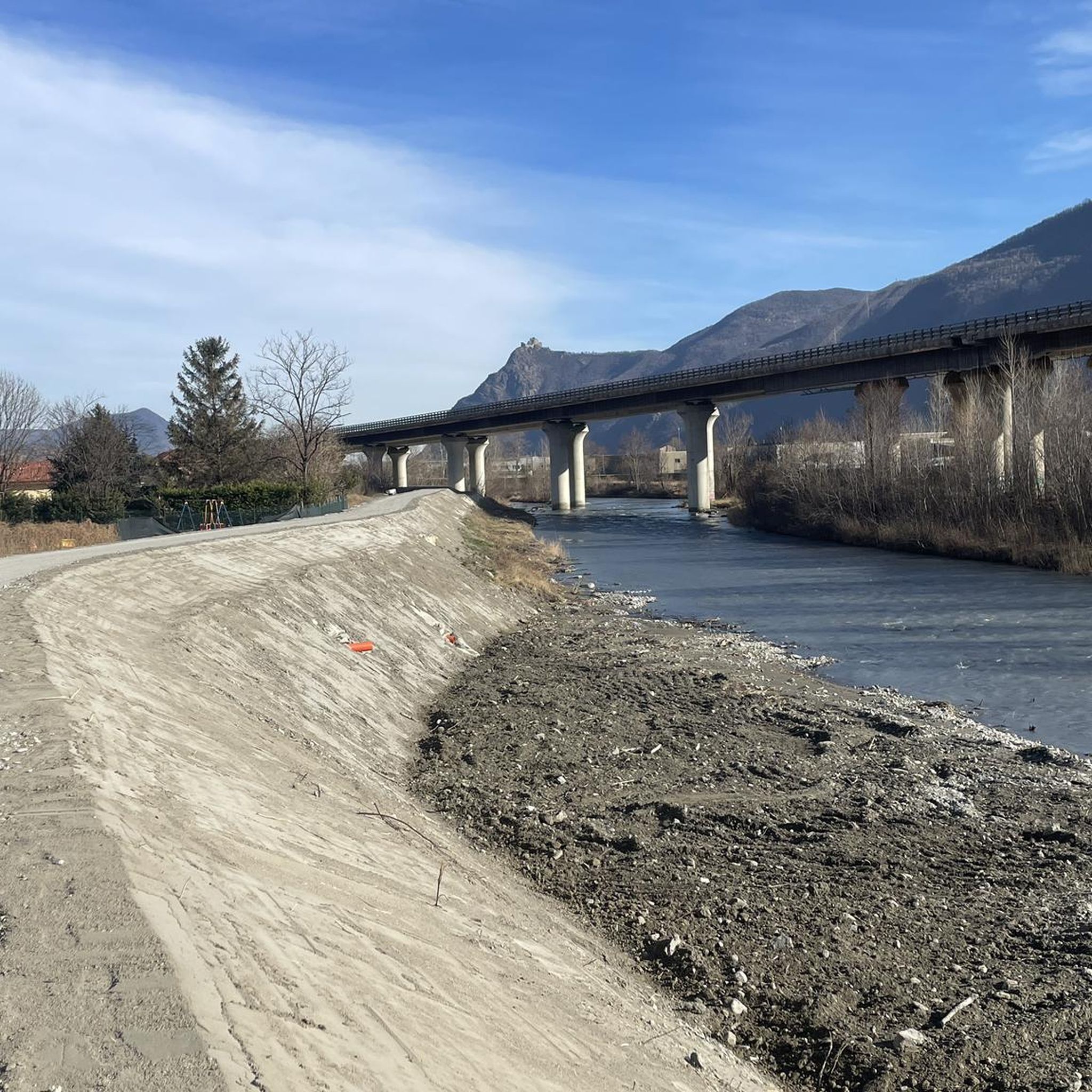
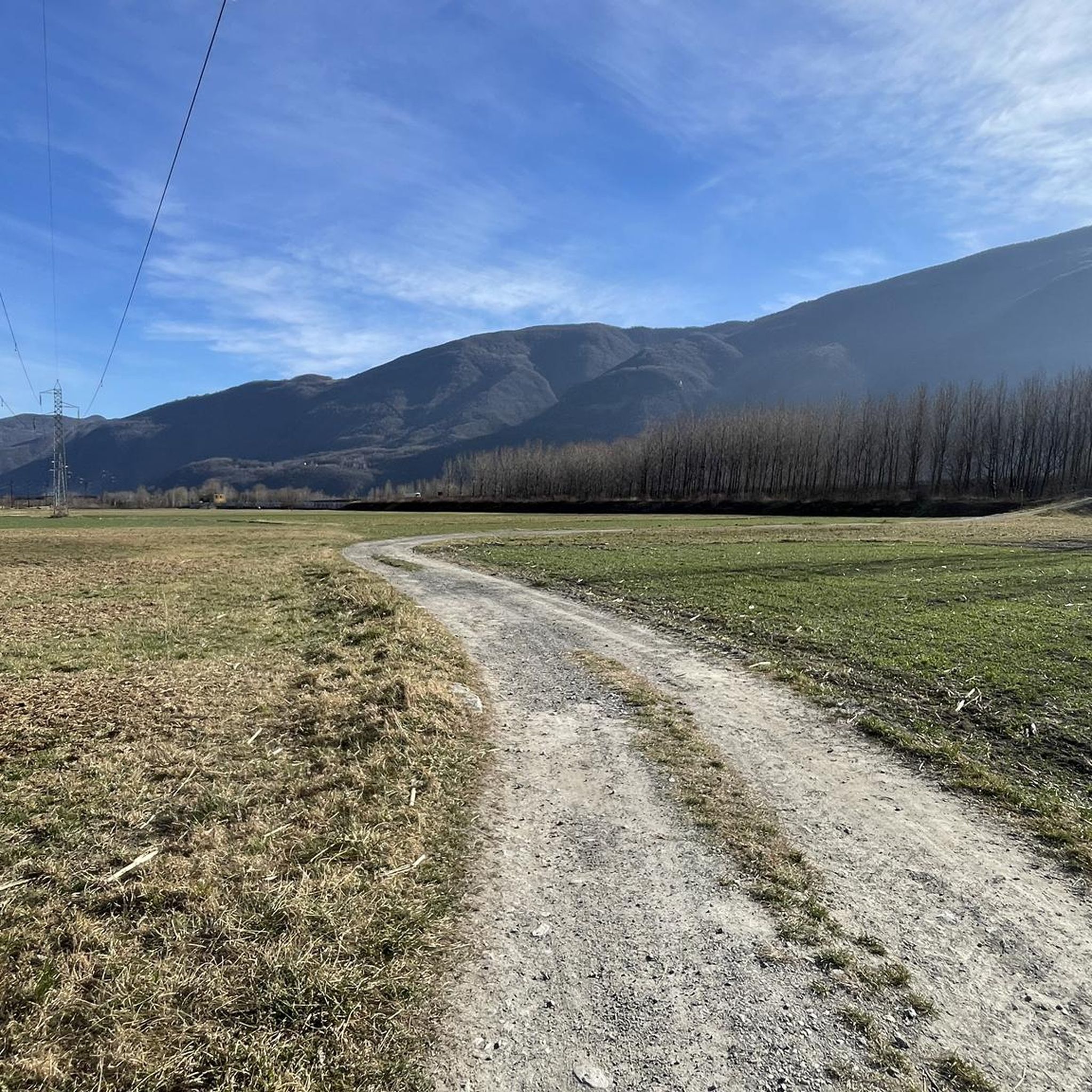

Other adventures around Borgone Susa

Tips from the Community


It's not a real restaurant or bar, but a dilapidated house that used to be a wine cellar, but hasn't been for some time. Aesthetically appealing, but calling it a place for refreshments is misleading.
0
0

Easily reached with a short detour from the Via Francigena, the nearby church of San Valeriano is also worth a visit.
1
0

Accessible from multiple directions, both on asphalt and trail. Ideal stopping point
1
0


Just go down 100 meters into the Colombatti hamlet and you will find a fountain with very fresh water.
0
0

It is a very suggestive corner that you come across both going up from the locality "quattro strade" (coming from S. valeriano or Borgone) and going up from Mocchie. Near the pylon the wood is rather sparse and the ground almost flat, this and the shaded position make it ideal for a stop. The only flaw: there is no water.
0
0
Frequently Asked Questions
How many hiking trails are available around Borgone Susa?
There are nearly 40 hiking trails around Borgone Susa, offering a wide range of options for different skill levels. You'll find everything from easy walks to more challenging ascents through the Susa Valley's diverse landscapes.
Are there easy hiking trails suitable for beginners or families in Borgone Susa?
Yes, Borgone Susa offers a few easy hiking trails perfect for beginners or families. These routes allow you to enjoy the natural beauty of the Susa Valley without strenuous effort. For example, the Pino Torinese Observatory Trail (via Route 566) is a moderate option that features forest paths and an astronomical observatory, suitable for a pleasant outing.
What are some challenging hikes for experienced trekkers in the region?
For experienced trekkers seeking a challenge, Borgone Susa has several difficult trails with significant elevation gain. The Trail 546 from Borgone Susa to Maffiotto is a demanding 12.1 km path that takes you deep into the Susa Valley. Another challenging option is the Antica Cava di Rocaforte – Chapel of Prarotto loop from Borgone di Susa, which leads through Susa Valley hamlets and limestone cliffs.
Are there any circular hiking routes around Borgone Susa?
Yes, Borgone Susa features several excellent loop trails. These routes allow you to start and end in the same location, offering varied scenery throughout. A notable example is the Antica Cava di Rocaforte – Chapel of Prarotto loop from Borgone di Susa, which explores hamlets and limestone cliffs. Another is the View of the Sacra from afar – Colombatti Votive Pillar loop from Sant'Antonino di Susa, offering scenic views.
What kind of natural features or landscapes can I expect to see while hiking?
Hiking around Borgone Susa offers diverse landscapes characteristic of the Piedmontese Alps. You'll encounter intensely-verdant fields, skyscraping peaks, lush green meadows, and rugged higher elevations. Trails often lead through forest paths, past cobblestone villages, and along limestone cliffs, providing a rich variety of natural beauty.
What historical landmarks or attractions can be found near the hiking trails?
The Susa Valley is rich in history. While hiking, you can explore segments of historically significant paths like the Via Francigena. A major highlight is the majestic Sacra di San Michele (Saint Michael's Abbey), perched atop Mount Pirchiriano, which offers profound historical and spiritual significance and rewarding views of the valley. You can also find highlights like the Madonna della Neve Chapel and Col Bione Fountain near some mountain passes.
Are there any lakes or mountain passes to explore near Borgone Susa?
Absolutely. The region around Borgone Susa is dotted with beautiful lakes and impressive mountain passes. You can discover serene spots like Frogs' Paradise Lake, Red Lake, or Lago Nero. For those interested in mountain passes, options include Colle Braida and Colle del Colombardo, offering stunning views and challenging ascents.
What do other hikers say about the trails in Borgone Susa?
The hiking routes in Borgone Susa are highly rated by the komoot community, with an average score of 4.4 stars from over 1200 reviews. Nearly 6000 hikers have used komoot to explore the varied terrain, often praising the diverse landscapes, from forest paths to mountainous views, and the options available for different ability levels.
Is public transport available to access hiking trailheads in Borgone Susa?
Borgone Susa is situated in the Susa Valley, which has some public transport infrastructure. While specific trailheads might require a short walk or local connection, the main towns in the valley are generally accessible by train or bus, making it possible to reach the starting points of many routes. It's advisable to check local transport schedules for the most up-to-date information.
What is the best season for hiking in Borgone Susa?
The Susa Valley, including Borgone Susa, offers hiking opportunities across various seasons. Spring and autumn provide pleasant temperatures and vibrant scenery, with lush greenery or rich fall colors. Summer is ideal for higher-altitude trails. Winter hiking is possible, but conditions can be challenging, especially at higher elevations, requiring appropriate gear and caution due to snow and ice.
Are there any less crowded hiking options for a more peaceful experience?
While some popular routes can see more foot traffic, the Susa Valley's extensive network of trails means you can often find quieter paths. Exploring some of the less-known local trails or venturing slightly off the most frequented routes can lead to a more secluded experience. Early mornings or weekdays are also good times to enjoy the trails with fewer people.
What should I wear or bring for hiking in Borgone Susa?
Given the varied terrain and potential for elevation changes, it's recommended to wear sturdy hiking boots with good ankle support. Layered clothing is advisable to adapt to changing weather conditions, especially in mountainous areas. Always carry enough water, snacks, a map or GPS device, sun protection, and a first-aid kit. For more challenging routes, trekking poles can be beneficial.
Most popular routes around Borgone Susa
Most popular attractions around Borgone Susa

Get inspired with the komoot mobile app


Explore more
Browse the best Hikes in other regions.
