The best walks and hikes around Salbertrand
4.5
(565)
2,289
hikers
38
hikes
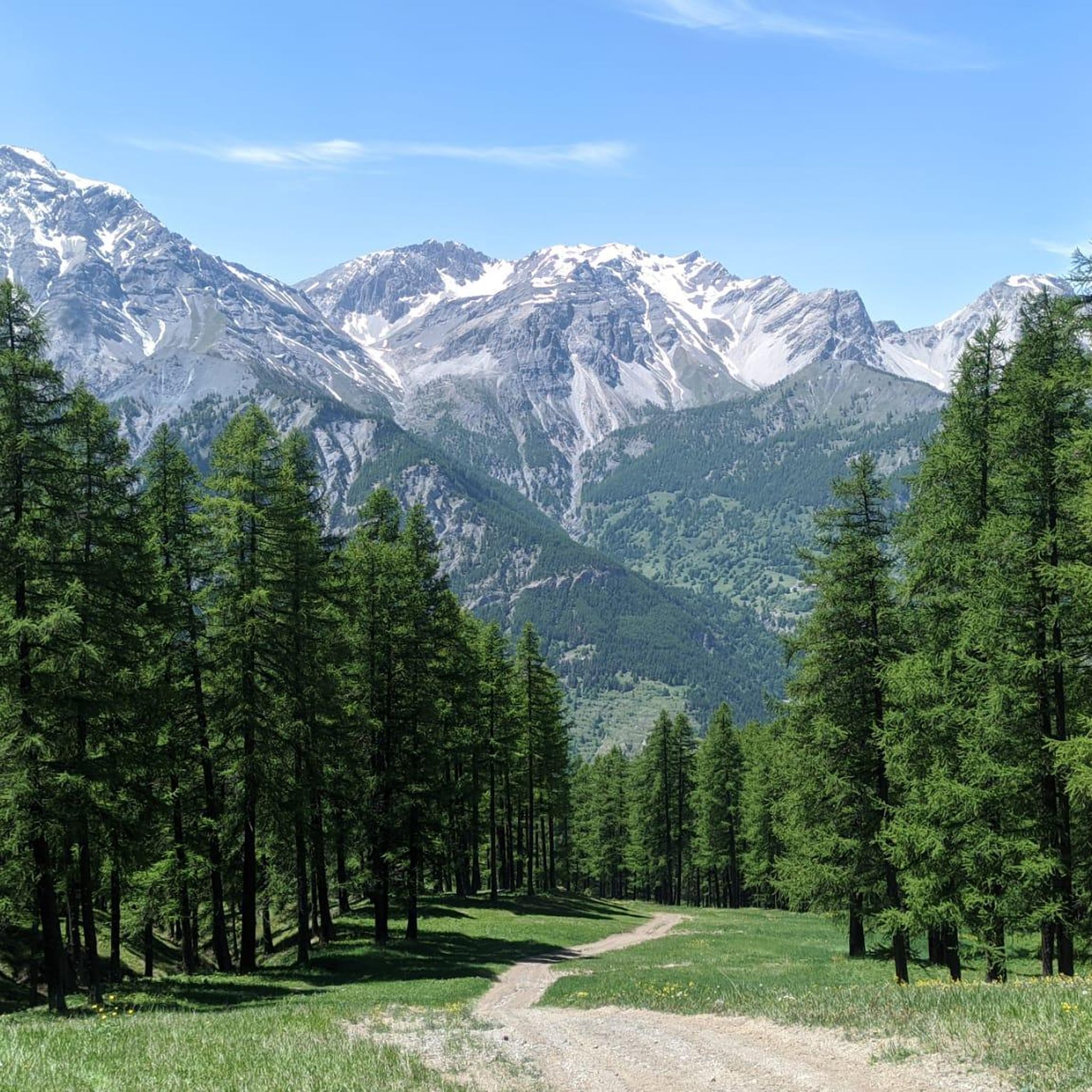
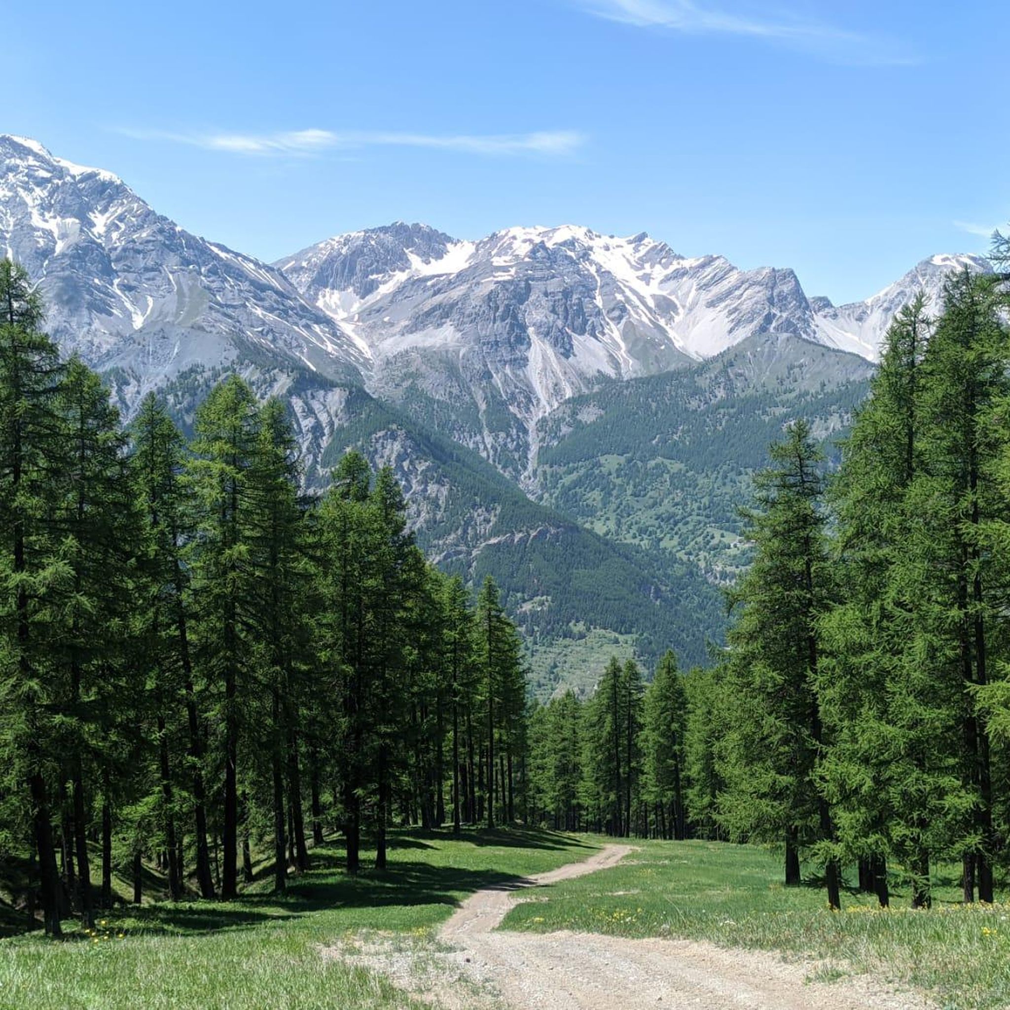
Hiking around Salbertrand offers access to the diverse landscapes of the Parco Naturale del Gran Bosco di Salbertrand, situated in the Italian Alps. The region is characterized by dense coniferous forests, including silver fir, spruce, pine, and larch, which transition into alpine meadows and mountain peaks. Elevations range from approximately 3,300 feet (1,000 meters) at the valley floor to 8,200 feet (2,500 meters) at higher basins. This varied terrain provides a comprehensive hiking experience.
Best hiking trails around Salbertrand
- The…
Last updated: October 10, 2026
4.6
(80)
266
hikers
11.6km
05:20
920m
920m
Hard hike. Very good fitness required. Mostly accessible paths. Sure-footedness required.
4.6
(69)
209
hikers
9.56km
04:40
820m
830m
Hike the moderate 5.9-mile Gran Bosco di Salbertrand Trail to Rifugio Daniele Arlaud, gaining 2694 feet through forests and past Icehouse La

4.5
(8)
39
hikers
11.6km
06:44
1,230m
1,230m
Hike the difficult 7.2-mile GTA Trail to Montagne Seu via Rifugio Daniele Arlaud, gaining 4026 feet through forest and meadows.
4.0
(1)
12
hikers
16.7km
08:01
1,400m
1,400m
Hike the challenging Forte Pramand Loop Trail, a 10.4-mile route with 4582 feet of gain, featuring historic forts and a unique tunnel.
4.6
(5)
8
hikers
8.18km
04:18
790m
790m
Forest hike through ancient silver firs that once built Savoy palaces, with wildlife and valley views.
Get access to more routes and recommendations from other explorers.
Already have an account?
Our route recommendations are based on thousands of hikes, rides, and runs completed by other people on komoot.
Start today with a free account
Your next adventure awaits.



Other adventures around Salbertrand

Tips from the Community

Climbing to the top of the fort, you can enjoy a splendid view of the upper Val Susa.
0
0

The old pyrite mine, active at the beginning of the last century, has also been recently restored. The beautiful outdoor installation, however, makes use of some wagons from the Garida mine, which is located in Giaveno in the Forno di Coazze area. It is 50 m from the ice house.
0
0
Located at the beginning of the long climb to Monfol, this evocative place, recently restored, was the ancestor of the refrigerator! Taking advantage of the winter frost, teams of men in the middle of winter extracted ice from the lake, to then store the blocks in the icehouse below, which was nothing more than an underground structure, insulated from the outside by a thick layer of earth with insulating properties, and capable of keeping the ice during the summer months.
0
0


Forest trail: I recommend trekking or hiking clothing and equipment such as trekking poles.
0
0
Excellent refuge with catering offers
0
0
Beautiful village reachable from the Gran Bosco di Salbertrand.
0
0

Panoramic point clearly visible from path 1.
0
0
Frequently Asked Questions
What types of landscapes can I expect to see while hiking around Salbertrand?
Hiking in Salbertrand offers a diverse range of landscapes, primarily within the Parco Naturale del Gran Bosco di Salbertrand. You'll encounter dense coniferous forests, including rare silver fir and spruce, alongside pine and larch. As you ascend, these transition into picturesque alpine meadows and mountain peaks, with elevations ranging from 1,000 to 2,500 meters. Some routes also feature beautiful emerald lakes, adding to the scenic variety.
Are there any easy hiking trails suitable for beginners or families in Salbertrand?
Yes, Salbertrand offers trails suitable for various fitness levels. While the guide highlights more moderate to difficult routes, the Gran Bosco di Salbertrand Natural Park has a network of marked trails that include easier walks. These often explore the lower-altitude forests and are perfect for families or those seeking a less strenuous experience. For example, the park's visitor center in Salbertrand is a starting point for thematic routes like the Oreste Rey and Fulvio Norse educational forest trail.
What are some notable historical or cultural points of interest along the hiking routes?
Salbertrand's trails are rich in history. You can explore routes like the famous Strada dell'Assietta, a historic military road in the Western Alps, or the 'cannon road' which leads through the Gran Bosco Park up to the Testa dell'Assietta, a significant 1747 battle site. The area also features routes related to the 'Glorious Repatriation of the Waldensians' and the Colombano Romean Ecomuseum.
Can I find circular hiking routes in Salbertrand?
Yes, circular routes are a popular option in Salbertrand. A great example is the In the heart of the Gran Bosco di Salbertrand Natural Park — Ring tour, which is 7.2 miles (11.6 km) long and explores the diverse terrain of the natural park. Another excellent choice is the Rifugio Arlaud Loop from Salbertrand, a moderate 5.9 miles (9.6 km) path leading to the Rifugio Arlaud.
Are there any mountain refuges or places to stay overnight along the trails?
Yes, for those looking to extend their hike or find a base, the Rifugio Arlaud is situated at 1,770 meters and offers accommodation and dining options. Another reception point for excursions is the Jack Canali refuge at 2,509 meters, providing further opportunities for hikers and mountain enthusiasts.
What kind of wildlife might I encounter in the Gran Bosco di Salbertrand Natural Park?
The Gran Bosco di Salbertrand Natural Park is a haven for wildlife. Hikers often have the chance to spot mammals such as deer, chamois, roe deer, wild boar, marmots, foxes, and various mustelids like ermine, weasel, and marten. Birdwatchers will also appreciate the area, with around 140 bird species identified, including golden eagles, goshawks, sparrowhawks, and various owls.
Are there any trails that offer panoramic views?
Absolutely. Many trails in Salbertrand ascend to higher elevations, providing stunning vistas. The Balcony Trail, for instance, is a 7.2 miles (11.6 km) route specifically known for leading through mountain slopes with panoramic views across the valleys. Higher peaks within the park also offer expansive views of the surrounding Italian Alps.
How many hiking trails are available in the Salbertrand area?
The Salbertrand area, particularly within the Gran Bosco di Salbertrand Natural Park, boasts an extensive network of approximately 70 km of marked hiking routes. There are over 35 distinct trails available, catering to a wide range of preferences and difficulty levels.
What do other hikers say about the trails in Salbertrand?
The routes in Salbertrand are highly rated by the komoot community, with an average score of 4.5 stars from over 450 reviews. Hikers frequently praise the well-maintained paths, the beauty of the dense coniferous forests, and the varied terrain that offers both challenging ascents and peaceful walks through alpine meadows.
Are there any lakes or water features to see on the hikes?
Yes, the region features several beautiful lakes. Hikers can discover emerald lakes, such as the one located near a 19th-century ice house. Additionally, nearby attractions include Rochemolles Lake and Dam and Lake Laux, offering picturesque spots for a break or a scenic detour.
What are some of the more challenging hikes in Salbertrand?
For experienced hikers seeking a challenge, Salbertrand offers several demanding routes. Trails like the Forte Pramand Loop Trail, which covers over 16 km with significant elevation gain, are considered difficult. The In the heart of the Gran Bosco di Salbertrand Natural Park — Ring tour and the Balcony Trail also present considerable challenges due to their length and elevation changes.
Are there any trails that are part of larger, international hiking routes?
Yes, Salbertrand is a point of interest for long-distance trekkers as it is part of several international routes. These include the Via Alpina, the Great Crossing of the Alps (GTA), and the historic Via Francigena, offering connections to broader European hiking networks.
Most popular routes around Salbertrand
Most popular attractions around Salbertrand

Get inspired with the komoot mobile app


Explore more
Browse the best Hikes in other regions.
