The best cycling routes in the Sierra Madre Oriental
4.9
(11)
364
riders
19
rides
Touring cycling in the Sierra Madre Oriental offers routes through a majestic mountain range characterized by rugged peaks, deep canyons, and diverse ecosystems. This region features dramatic granite formations, with elevations often exceeding 3,000 meters, including Cerro El Potosí at 3,721 meters. Cyclists encounter varied terrain, from temperate pine-oak forests at higher altitudes to tropical zones at lower elevations, alongside spectacular canyons carved by rivers. The landscape provides a mix of challenging climbs and scenic descents across its extensive topography.
…Last updated: July 9, 2026
4.8
(8)
66
riders
5.78km
00:22
30m
20m
Easy bike ride. Great for any fitness level. Mostly paved surfaces. Suitable for all skill levels.
52
riders
17.5km
01:58
740m
740m
Hard bike ride. Very good fitness required. Mostly paved surfaces. Suitable for all skill levels.

Sign up for free
5.0
(1)
25
riders
61.7km
03:41
450m
450m
Moderate bike ride. Good fitness required. Mostly paved surfaces. Suitable for all skill levels.
5.0
(1)
20
riders
24.4km
01:26
140m
140m
Easy bike ride. Great for any fitness level. Mostly paved surfaces. Suitable for all skill levels.
18
riders
Moderate bike ride. Good fitness required. Mostly paved surfaces. Suitable for all skill levels.
23
riders
41.0km
03:39
1,150m
1,150m
Hard bike ride. Very good fitness required. Mostly paved surfaces. Suitable for all skill levels.
5.0
(1)
15
riders
21.7km
01:17
90m
90m
Easy bike ride. Great for any fitness level. Mostly paved surfaces. Suitable for all skill levels.
19
riders
34.9km
02:38
840m
840m
Hard bike ride. Very good fitness required. Mostly paved surfaces. Suitable for all skill levels.
17
riders
25.5km
02:40
950m
950m
Hard bike ride. Very good fitness required. Mostly paved surfaces. Suitable for all skill levels.
16
riders
42.0km
02:36
340m
340m
Moderate bike ride. Good fitness required. Mostly paved surfaces. Suitable for all skill levels.
Get access to more routes and recommendations from other explorers.
Sign up for free
Already have an account?
Our route recommendations are based on thousands of hikes, rides, and runs completed by other people on komoot.
Start today with a free account
Your next adventure awaits.
Login or Signup
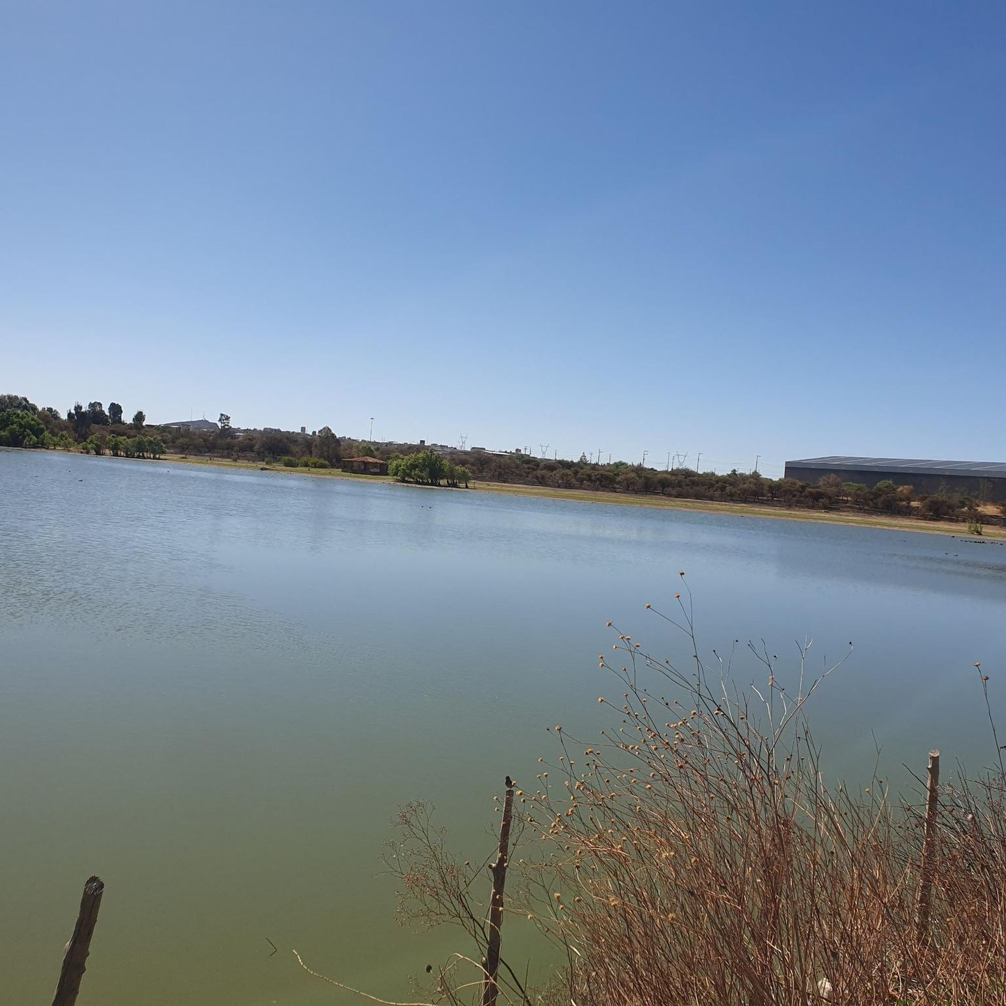
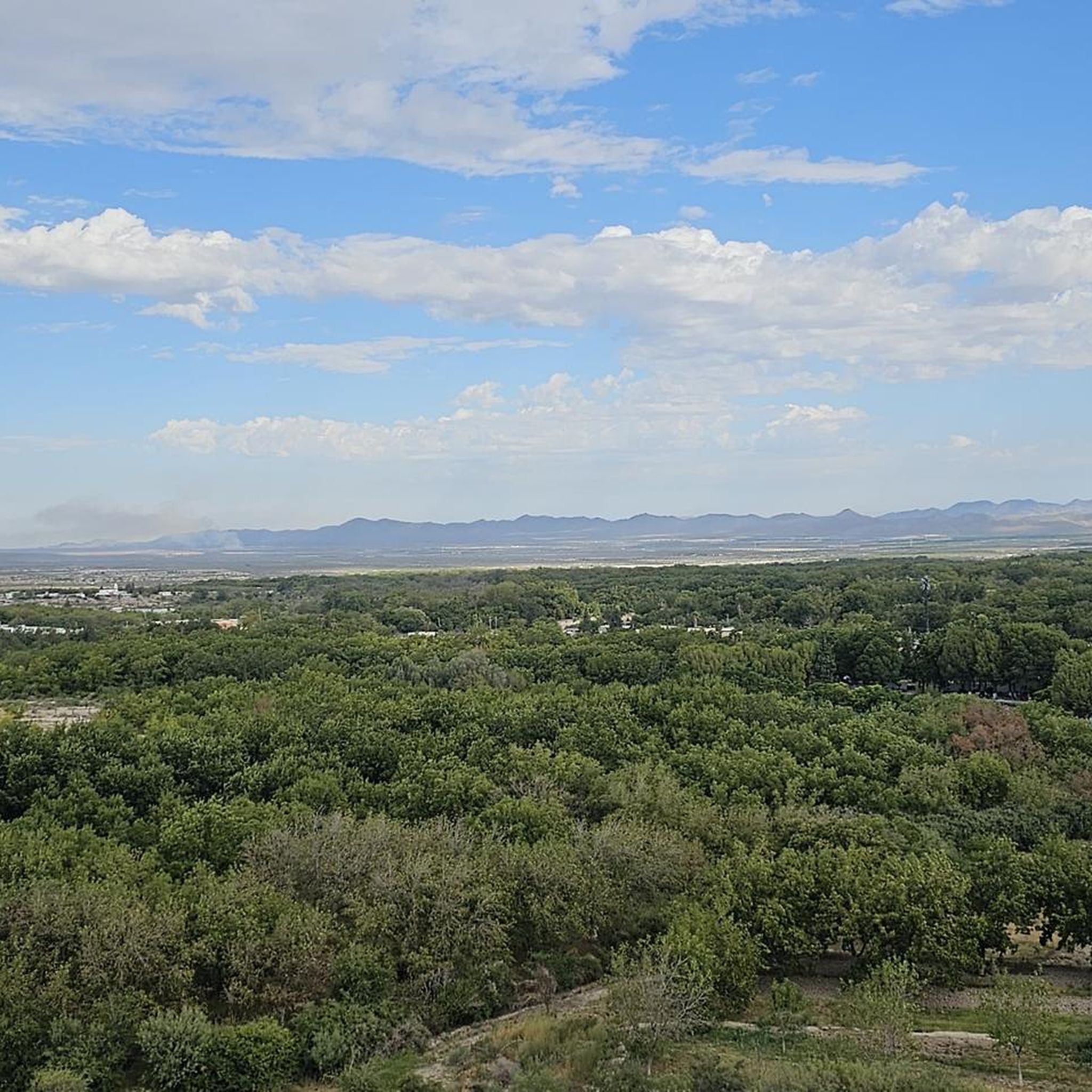
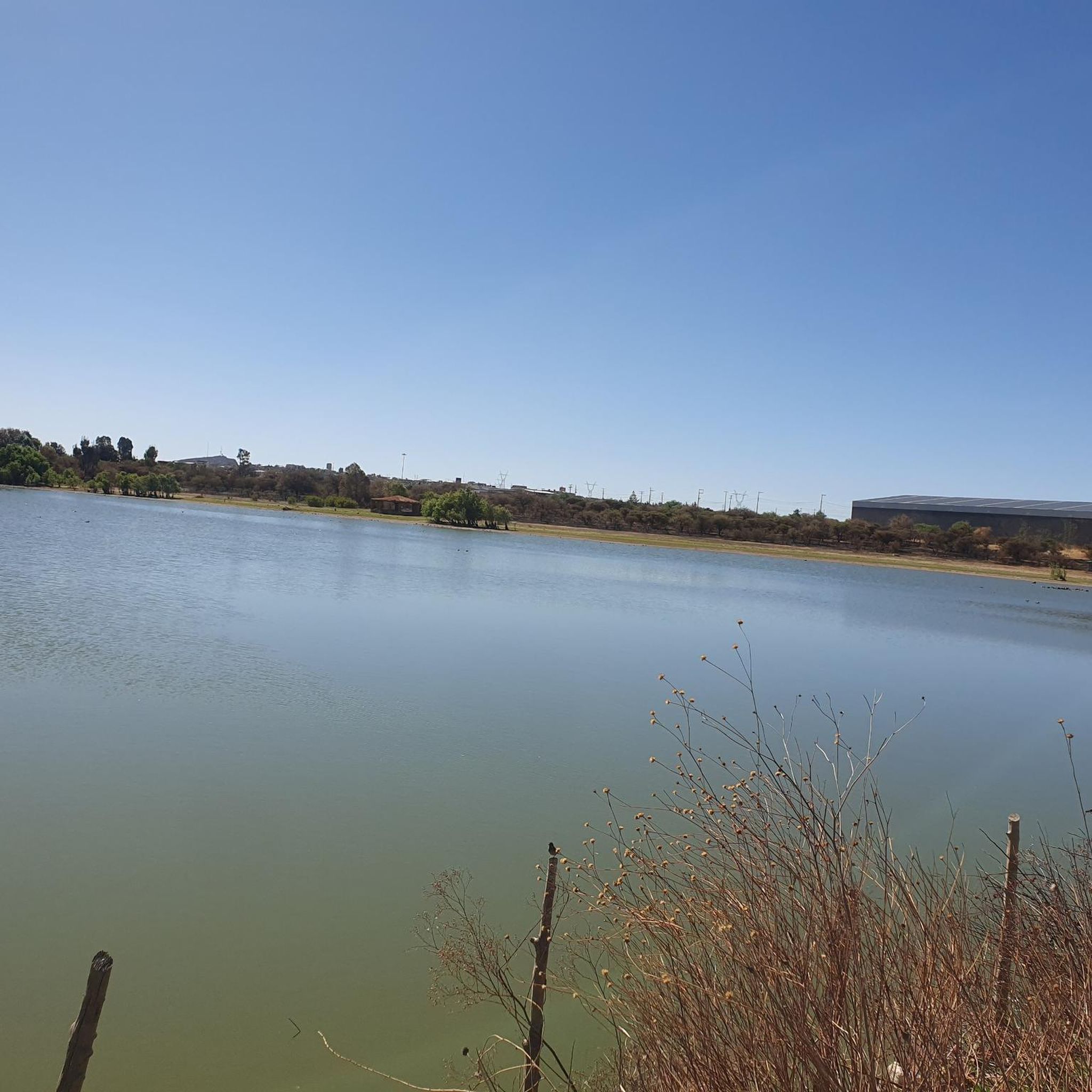
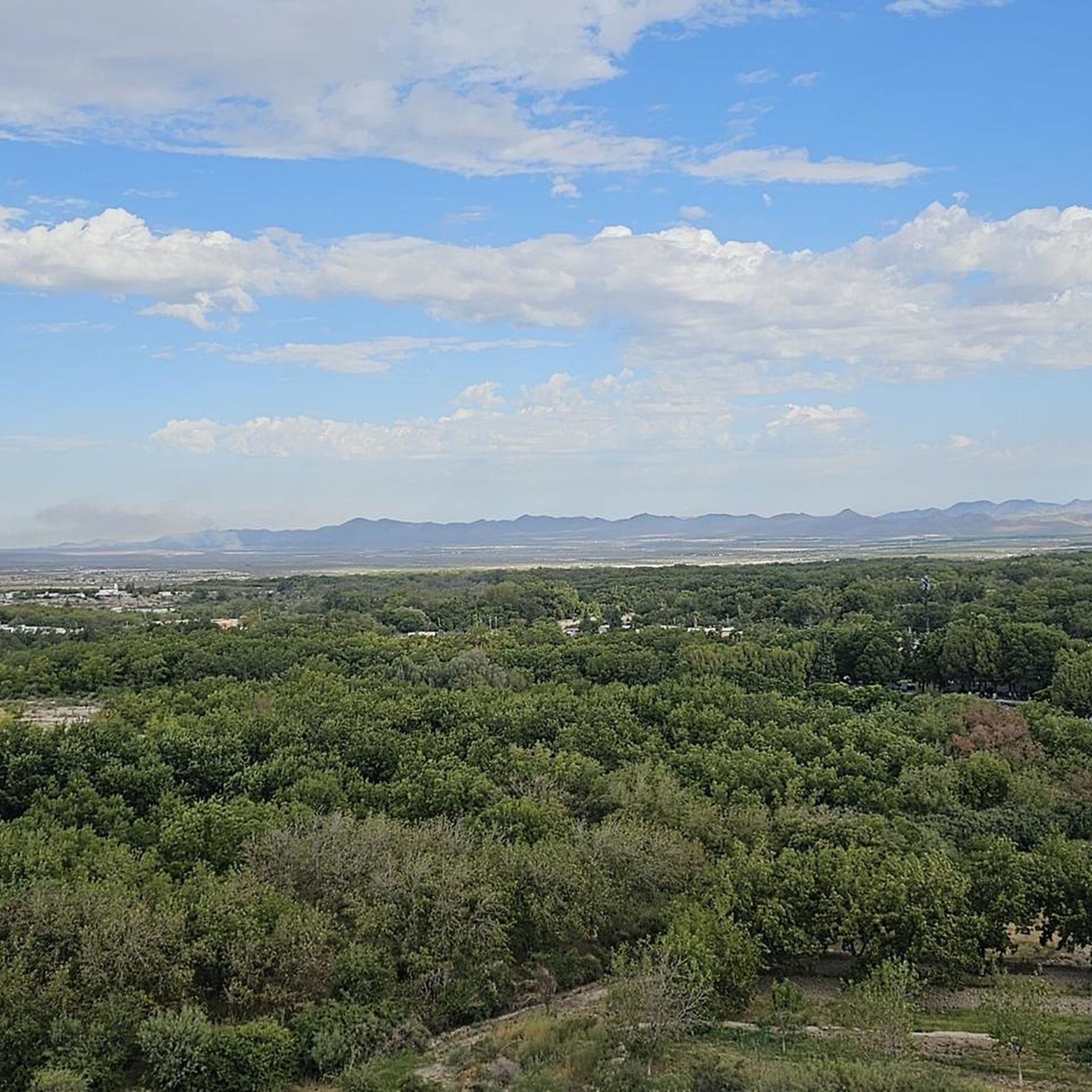
Tips from the Community

The best workshop, parking, bike rental and more
0
0

Anticipate and prepare changes, control your speed and view always ahead, ready!
0
0

FOR SPEED IT IS BETTER EARLY
0
0

It is just a street heading towards a "colonia privada" but at night or makes for a pretty view
0
0
Frequently Asked Questions
How many touring cycling routes are available in the Sierra Madre Oriental?
The Sierra Madre Oriental offers a diverse selection of touring cycling routes, with over 20 options currently available on komoot. These routes cater to various skill levels, from easy park loops to challenging mountain passes.
What kind of terrain can I expect on touring cycling routes in the Sierra Madre Oriental?
You'll encounter a wide variety of terrain, from 'twisty asphalt' roads to 'endless dirt tracks' and 'remote gravel roads.' The region is characterized by rugged peaks, deep canyons, and diverse ecosystems, meaning routes can feature significant elevation gains through mountainous areas, as well as flatter sections through valleys and urban parks.
Are there any easy touring cycling routes suitable for beginners or a relaxed ride?
Yes, there are several easy routes. For a flat ride through urban parkland, consider the Fundidora Park – Parque Fundidora loop from Parque España, which is just under 6 km. Another accessible option is the La Huasteca Canyon – La Huasteca loop from Torre Diablos, offering a scenic ride through dramatic canyon landscapes.
What are some challenging touring cycling routes in the Sierra Madre Oriental?
For experienced touring cyclists seeking a challenge, the Sierra Madre Oriental offers routes with significant elevation gains. The El Aire Pass loop from Parque Ecológico Chipinque is a difficult 17.5 km path through mountainous terrain. Another demanding option is the El Aire Pass – Cañada La Piedra Cuadrada loop from CRGS, which covers over 41 km with substantial climbing.
Can I find routes that offer unique viewpoints or natural features?
Absolutely. The Sierra Madre Oriental is renowned for its breathtaking scenery. Many routes, especially those traversing canyons like the La Huasteca – BCPK Bike Shop loop from Padre Mier, offer dramatic cliffs and unique rock formations. You'll also find serene mountain lakes and lush forests, providing picturesque spots for photography and relaxation.
Are there any notable landmarks or attractions I can visit along the touring cycling routes?
Yes, the region offers several points of interest. You can cycle past or near Fundidora Park, a large urban park. For natural beauty, look for routes that might lead you to a Sky Waterfall. Cultural landmarks include the Santa Lucía Promenade and the Horno 3 Steel Museum.
What do other touring cyclists enjoy most about the Sierra Madre Oriental?
The area is highly rated by the komoot community, with an average score of 4.9 stars from over 10 reviews. Cyclists often praise the dramatic landscapes, the variety of challenging climbs and scenic descents, and the opportunity to experience diverse ecosystems. The mix of twisty asphalt and remote gravel tracks also appeals to those seeking adventure.
Are there any loop routes for touring cyclists?
Many routes in the Sierra Madre Oriental are designed as loops, allowing you to start and finish at the same point. Examples include the El Aire Pass loop from Reserva Natural Chipinque and the Loma Bonita Street at Night loop from Unión de Permisionarios Ruta 301, S.C. (Ruta 301), offering convenient circular journeys.
What is the best time of year for touring cycling in the Sierra Madre Oriental?
While specific weather predictions vary, the Sierra Madre Oriental offers a wide range of climates due to its varied altitudes. Generally, cooler, drier months might be preferable for challenging climbs, while lower elevations can be enjoyed year-round. It's always best to check local weather forecasts for your specific route and time of travel.
Are there routes that pass through small towns or offer cultural immersion?
Yes, touring cycling through the Sierra Madre Oriental provides opportunities to visit tiny pueblos dotted across the hillsides. These routes allow you to experience the region's rich cultural heritage and interact with friendly locals. Towns like Galeana, at the base of Cerro El Potosí, can serve as excellent bases for exploration.
Are there any routes with significant elevation gain for advanced cyclists?
For those looking for substantial climbs, routes like the Mirador La Peñita – Reserva Natural Chipinque loop from Pablo G. Garza offer over 800 meters of ascent. Another challenging option is the El Aire Pass loop from San Pedro Garza García, which features over 950 meters of climbing.
Most popular routes in the Sierra Madre Oriental
Most popular attractions in the Sierra Madre Oriental

Get inspired with the komoot mobile app


Explore more
Browse the best Cycling routes in other regions.
