Top 20 Mountain Passes around Sestriere
Best mountain passes around Sestriere are found in a high-altitude alpine region at 2,035 meters. This area is known for its challenging ascents and historical routes. The landscape features rugged mountain terrain, connecting Italy and France. Sestriere is also part of the larger Via Lattea ski area.
Best mountain passes around Sestriere
- The most popular mountain passes is Montgenèvre Pass, a mountain pass that connects Briançon, France, to Cesana Torinese, Italy. This pass, at 1,850 meters, is located entirely…
Last updated: August 20, 2026
Blegier Pass
Highlight • Mountain Pass
Translated by Google •
Tip by

Montgenèvre Pass
Highlight • Mountain Pass
Translated by Google •
Tip by

Sign up now to discover places like this
Get recommendations on the best single tracks, peaks, & plenty of other exciting outdoor places.
Sign up for free
Strada dell'Assietta and Colle dell'Assietta (2472 m)
Highlight (Segment) • Mountain Pass
Translated by Google •
Tip by

Strada dell'Assietta
Highlight • Trail
Translated by Google •
Tip by

Col Basset
Highlight • Mountain Pass
Translated by Google •
Tip by

Sign up for free to discover even more mountain passes around Sestriere.
Sign up for free
Already have an account?
Start today with a free account
Your next adventure awaits.
Login or Signup
Popular around Sestriere
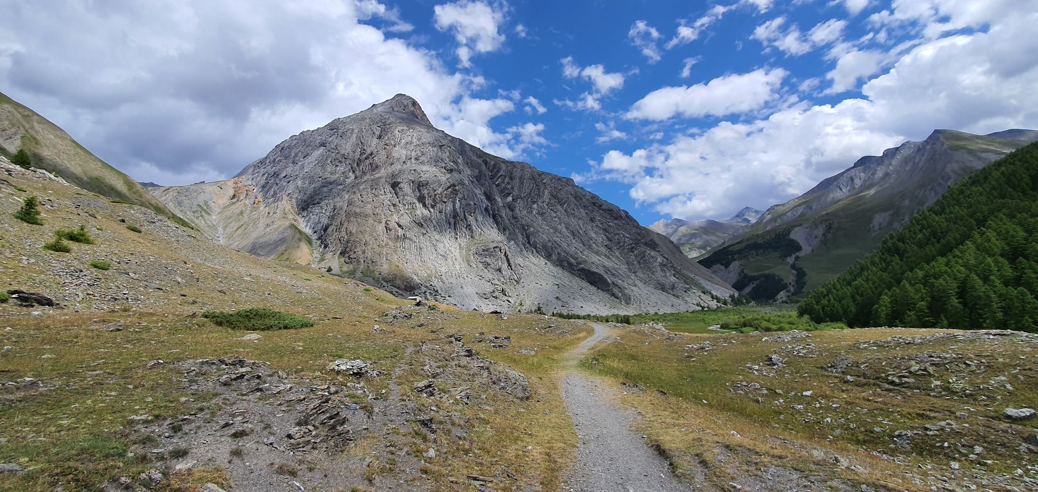
Western trans-alpine crossing – pure adventure on your mountain bike
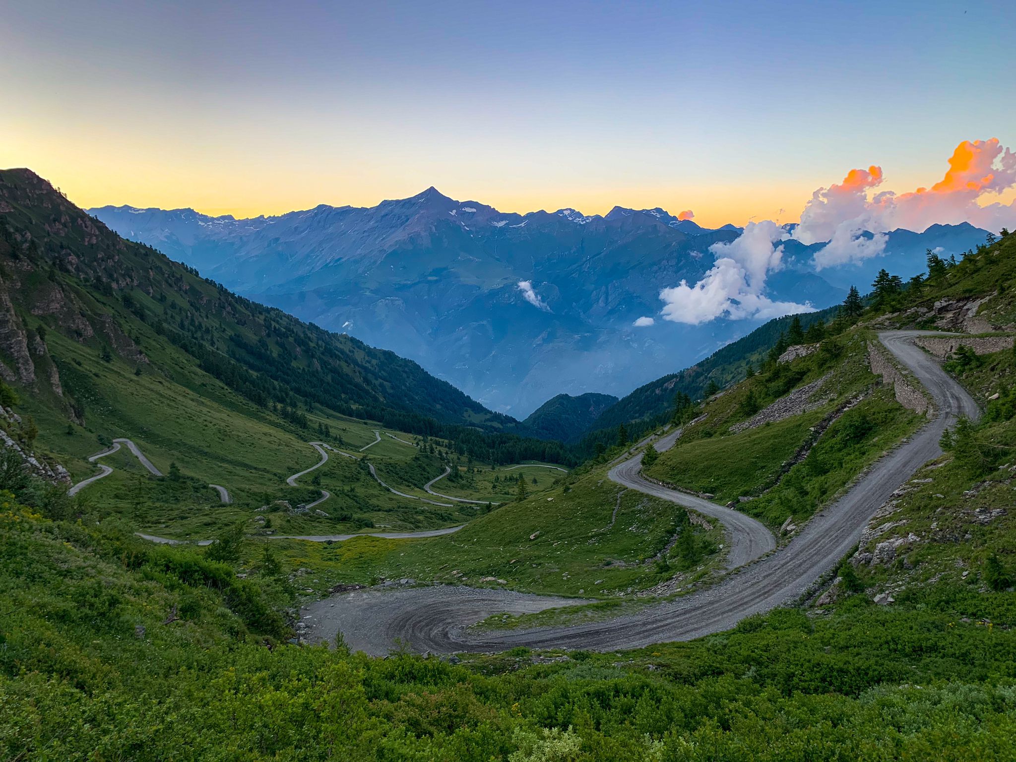
Chasing the sun across the Alps — unsupported solo
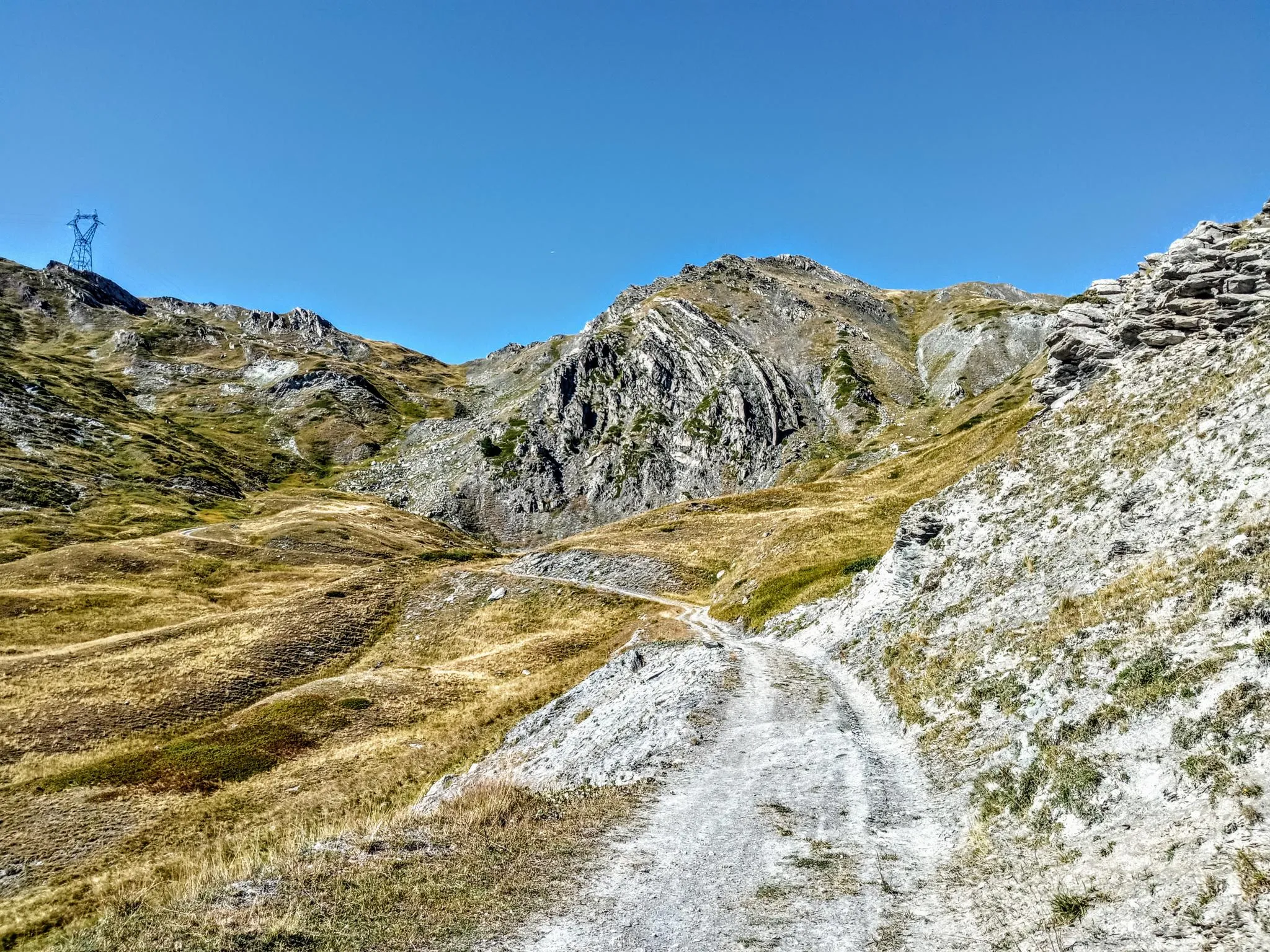
Between valleys and peaks – Ultra Gravel Tour des Alpes
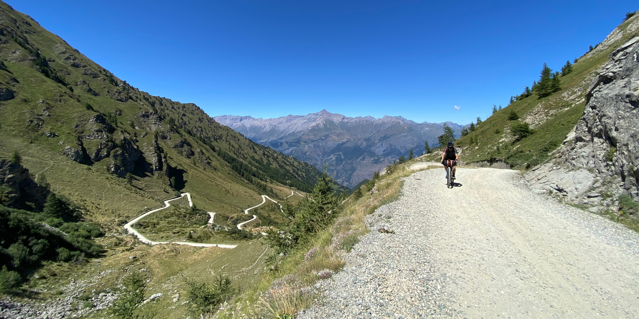
High altitude military roads – gravel routes on the Assietta road
Rough and tough – spectacular gravel loops in the Alps
Hiking around Sestriere
MTB Trails around Sestriere
Running Trails around Sestriere
Cycling around Sestriere
Road Cycling Routes around Sestriere
Other adventures around Sestriere


Tips from the Community

This hill is best appreciated when climbing from Monfol because it offers an excellent panoramic viewpoint over the Chisone valley. You arrive at the end of a long traverse, very restful especially if cycled due to the moderate gradients. The downside is the significant traffic of off-road vehicles, almost all foreign, that use the beautiful high-altitude road known as the Strada dell'Assietta. Make sure to refuel along the way BEFORE the pass, taking advantage of the many streams, because from the pass onwards, whether heading towards Sestriere or towards the Assietta, you'll find almost no water... and there's a lot of dust! Another recommendation: avoid this route if a thunderstorm threatens, as there are no shelters and you risk serious lightning strikes!
0
0

one of the many hills along the military road
0
0

The climb is smooth and the view is fantastic.
18
0
The climb is never too steep and offers excellent views.
16
0

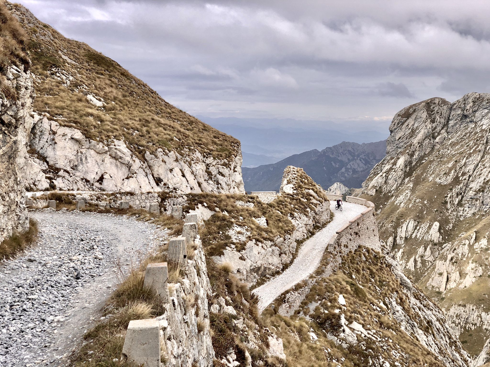
Former military road almost completely unpaved, located along the mountain ridge that separates the Val di Susa from the Val Chisone. From Pian dell'Alpe to Sestriere you travel 30 km admiring suggestive landscapes both on one valley and on the other
2
1

Early in the morning, with very little traffic, it is very enjoyable. Then it becomes impossible, cars and motorbikes everywhere. The French side is very hot in the afternoon.
5
0

A hill that goes up a forest road, sometimes rocky, goes up through the heart of the Great Forest in the Parco Naturale della Gran Bosco di Salbertrand (Natural Park of the Great Forest of Salbertrand) to the Col Blegier (pass). Because it is a forest road, the trail is not technically difficult, but there is 640 m (2,100 ft) of climbing in this 7.7 km
0
0

Frequently Asked Questions
What types of terrain can I expect on the mountain passes around Sestriere?
The mountain passes around Sestriere offer a diverse range of terrain. You'll find both paved and unpaved sections, with many passes featuring challenging gravel roads, particularly those that were once military routes. For example, the Strada dell'Assietta and Colle dell'Assietta (2472 m) is a notable military road with significant gravel sections, popular for gravel and mountain biking.
Are there any historically significant mountain passes in the Sestriere area?
Yes, several passes boast rich historical significance. The Montgenèvre Pass was historically considered the easiest route for Romans traveling from Piedmont to the Durance valley. Additionally, the Strada dell'Assietta is a historic military road, offering insights into the region's past strategic importance.
Which mountain passes are known for their panoramic views?
Many passes in the Sestriere region offer breathtaking panoramic views. The Strada dell'Assietta and Colle dell'Assietta (2472 m) provides spectacular vistas of the surrounding Alps. The Montgenèvre Pass also offers excellent views, and Col Basset is noted as a panoramic point along the ridge separating the Susa and Chisone valleys.
Can I find family-friendly options among the mountain passes near Sestriere?
While many passes present challenging terrain, some sections might be suitable for families. For instance, Blegier Pass is categorized as family-friendly and offers varied terrain for hikers. It's always recommended to check specific route details and difficulty levels before heading out with family.
What cycling opportunities are available on the mountain passes around Sestriere?
The Sestriere area is a paradise for cyclists. You can enjoy challenging gravel biking on routes like the Strada dell'Assietta, which is suitable for gravel and mountain bikes. Road cyclists will appreciate the smooth, scenic ascent of the Montgenèvre Pass. For more detailed routes, explore the Cycling around Sestriere guide and the Road Cycling Routes around Sestriere guide.
Are there specific regulations or best times to visit the Strada dell'Assietta?
Yes, to enhance the experience for cyclists and hikers, the Strada dell'Assietta has specific regulations. In July and August, cars and motorcycles are typically not allowed on Wednesdays and Saturdays, making these days ideal for a quieter experience on two wheels or on foot. The summer months generally offer the best weather for exploring high-altitude passes.
What kind of hiking trails can I explore near the mountain passes?
The region around Sestriere offers a variety of hiking trails, from moderate to difficult. You can find routes that traverse alpine meadows, rocky scree, and forested areas. Many trails follow the historic military roads, providing both a physical challenge and scenic beauty. For specific hiking options, refer to the Running Trails around Sestriere guide, which includes routes like the 'Diga del Chisonetto da Sestriere' and 'Monte Fraiteve Loop'.
What is the best time of year to visit the mountain passes around Sestriere?
The best time to visit the mountain passes around Sestriere largely depends on your activity. For cycling, hiking, and general exploration, the summer months (June to September) offer the most favorable weather conditions and ensure passes are clear of snow. For winter sports, Sestriere's high altitude and north-facing slopes provide optimal snow conditions from December to April.
Are there any mountain passes around Sestriere that are less crowded?
While popular passes like the Strada dell'Assietta can attract many visitors, especially on car-free days, exploring some of the lesser-known points along these extensive military road networks might offer a more secluded experience. Passes like Blegier Pass, which is part of the broader Assietta network, might offer quieter moments, particularly outside peak times.
How do the mountain passes around Sestriere connect to major cycling events?
Sestriere and its surrounding passes have a strong connection to major international cycling events. Sestriere itself, at 2,035 meters, has been included in both the Tour de France and the Giro d'Italia. The Strada dell'Assietta, particularly its challenging gravel sections, gained international fame as a demanding climb in the Giro d'Italia.
What do visitors enjoy most about the mountain passes around Sestriere?
Visitors frequently praise the breathtaking panoramic views, the challenging yet rewarding terrain for cyclists and hikers, and the unique historical significance of the old military roads. The sense of adventure, especially on routes like the Strada dell'Assietta, and the opportunity to experience high-alpine landscapes are often highlighted as key attractions.
Most popular routes around Sestriere
Most popular attractions around Sestriere

Get inspired with the komoot mobile app


Explore more
See even more epic mountain passes by checking out these guides around Sestriere:
