The best road cycling routes in the Sheep Range
5.0
(4)
118
riders
11
rides
Road cycling in the Sheep Range area offers a diverse landscape for cyclists, primarily featuring routes on paved surfaces and dedicated cycling trails. The region provides varied terrain, from urban and suburban paths to routes offering views of the surrounding desert mountains and natural parks. Cyclists can expect a mix of flat sections and gradual ascents, with routes often traversing developed areas and green spaces.
Best road cycling routes in the Sheep Range
- The most popular road cycling route is…
Last updated: July 8, 2026
55
riders
Moderate road ride. Good fitness required. Mostly well-paved surfaces and easy to ride.
5.0
(3)
26
riders
Moderate road ride. Good fitness required. Mostly well-paved surfaces and easy to ride.

Sign up for free
9
riders
38.3km
01:46
240m
240m
Easy road ride. Great for any fitness level. Mostly well-paved surfaces and easy to ride.
5
riders
29.8km
01:22
90m
90m
Moderate road ride. Great for any fitness level. Some segments of this route may be unpaved and difficult to ride.
5
riders
29.0km
01:24
150m
150m
Moderate road ride. Great for any fitness level. Some segments of this route may be unpaved and difficult to ride.
6
riders
Moderate road ride. Good fitness required. Mostly well-paved surfaces and easy to ride.
3
riders
30.9km
01:23
130m
130m
Moderate road ride. Great for any fitness level. Some segments of this route may be unpaved and difficult to ride.
5.0
(1)
6
riders
28.9km
01:23
180m
180m
Easy road ride. Great for any fitness level. Mostly well-paved surfaces and easy to ride.
Get access to more routes and recommendations from other explorers.
Sign up for free
Already have an account?
Our route recommendations are based on thousands of hikes, rides, and runs completed by other people on komoot.
Start today with a free account
Your next adventure awaits.
Login or Signup
Popular around Sheep Range
Tips from the Community

A paved, three-mile multi-use trail that runs alongside CC 215. You can tie it together with the Western Beltway Trail to log some miles without any extreme climbs.
0
0

Pedestrian bridge that takes you over the highway. From the bridge, you get a view of the mountains in the distance.
0
0
The Northern Beltway Trail is a 3-mile multi-use trail that runs alongside CC 215. It is fully paved and fairly flat, so it is not too challenging a trail to run.
1
0

Downtown Summerlin is just south of the Red Rock Resort and Casino is a great outdoor shopping and dining complex with numerous restaurants and cafés, as well as one of the best farmers markets in Vegas every Saturday. This is also where the popular Tour de Summerlin bike race and half-marathon begins and ends.
1
0
Downtown Summerlin is just south of the Red Rock Resort and Casino is a great outdoor shopping and dining complex with numerous restaurants and cafes, as well as one of the best farmers markets in Vegas every Saturday. This is also where the popular Tour de Summerlin bike race and half marathon begins and ends.
0
0
This trailhead is the main access point to the Bears Best Trail System. This extensive network of trails connects to other systems including Blue Diamond and Cowboy Trails, which have trails of varying difficulties; there really is something for everyone in an amazing desert setting! In the spring, summer, and early fall look out for desert tortoises in this area! They blend into the surroundings and can look like rocks! Please do not pick up or handle a tortoise unless they are in danger of getting hit; in those cases you can carefully pick up the tort by the sides of it shell, keep it low to the ground and move it in the direction it was headed (and sanitize your hands afterward!). Other than that, please do not touch a tort or get too, too close to one in the wild because scaring them can actually be deadly! When afraid, they will pee as a last resort defense mechanism. Desert tortoises are able to drink water in large amounts (up to 45% of their body weight), which is stored for future use and critical to their survival all year. They can actually live off of one big drink a year! If startled, however, they might urinate and lose their critical water stores and die of dehydration. Additionally, wild torts carry a bunch of diseases including salmonella and herpes, so you also don’t want to handle them for your own safety!
0
0
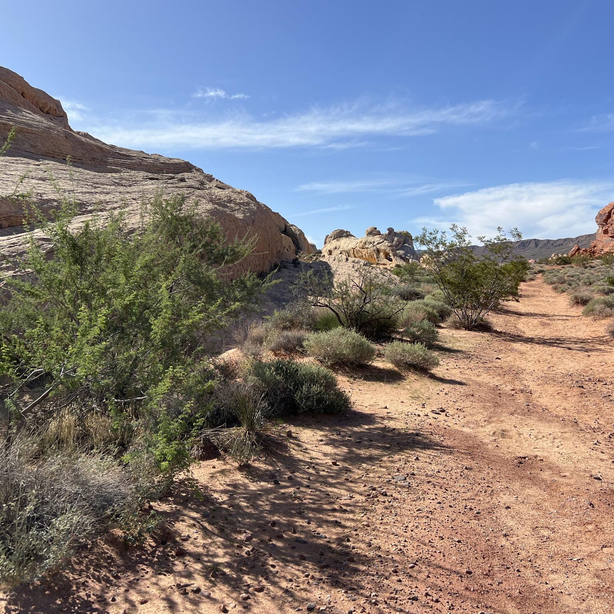
Cliff Shadows Open Desert Park is a fantastic park located on the west side of Las Vegas. This is an extremely popular mountain biking area but there is also great hiking as well. On days after rainfall in the cooler months you might also see rock climbers climbing at the popular limestone crag known as "The Gun Club," just a few hundred yards from the lower parking area.
0
0
Cliff Shadows Open Desert Park is a fantastic park located on the west side of Las Vegas. This is an extremely popular mountain biking area but there is also great hiking as well. On days after rainfall in the cooler months you might also see rock climbers climbing at the popular limestone crag known as "The Gun Club," just a few hundred yards from the lower parking area. The reason why climbers frequent this area after precipitation is because you should not climb on the sandstone in Red Rock Canyon after rain because it becomes brittle and can break.
2
0
Frequently Asked Questions
Are the road cycling routes actually within the Sheep Range itself?
While this guide is titled for the Sheep Range, the routes primarily traverse the surrounding urban and suburban areas of Las Vegas, offering views towards the Sheep Range and other desert mountains like Red Rock Canyon. The Sheep Range itself is largely composed of unpaved 4WD roads, gravel, and rocky terrain, making it unsuitable for traditional road cycling.
What kind of terrain can I expect on road cycling routes near the Sheep Range?
You can expect a mix of paved surfaces and dedicated cycling trails. Routes often combine urban cycling with sections through green spaces and suburban areas, providing varied scenery and generally smooth riding conditions suitable for road bikes.
How many road cycling routes are available in the area covered by this guide?
This guide features 10 distinct road cycling routes. These routes offer a range of distances and difficulties, catering to different experience levels.
What are some popular road cycling routes for different skill levels?
For a challenging ride, consider the Sandstone Quarry – Red Rock Canyon Overlook loop from Centennial High School, which is 51 miles with significant elevation gain. Moderate options include the Northern Beltway Trail – Downtown Summerlin loop from Centennial Hills Transit Center. For an easier ride, the Northern Beltway Trail loop from Northbound Decatur after Dorrell is a good choice.
Are there any family-friendly road cycling options?
Yes, routes like the Floyd Lamb Park loop from Centennial Hills Transit Center offer moderate distances and relatively flat terrain, making them suitable for families or those looking for a more relaxed ride. Floyd Lamb Park itself provides a pleasant setting for cycling.
What kind of scenic views can I expect on these routes?
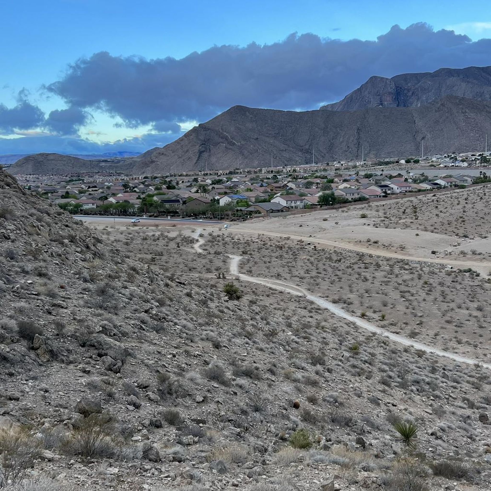
Many routes offer panoramic views of the surrounding desert mountains, including the Red Rock Canyon area. You'll also experience urban landscapes, suburban greenways, and dedicated cycling paths, providing a diverse visual experience.
Are there any loop routes available for road cycling?
Yes, many of the routes are designed as loops. For example, the Northern Beltway Trail – Northern Beltway Trail loop from Arbor View High School and several variations of the Floyd Lamb Park loop are popular circular options.
What do other road cyclists enjoy most about cycling in this area?
The area is highly rated by the komoot community, with an average score of 5.0 stars. Cyclists often praise the well-maintained paved surfaces, the convenience of dedicated cycling trails, and the scenic views of the desert landscape that many routes provide.
Are there any specific landmarks or points of interest along the road cycling routes?
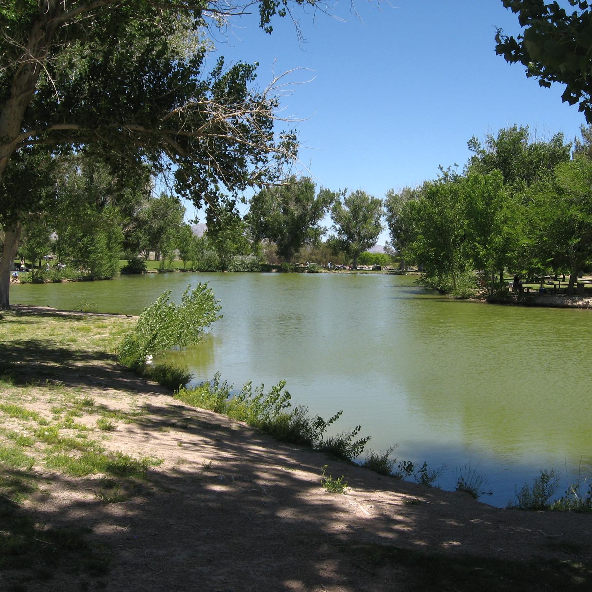
While the routes are primarily focused on cycling, you'll pass by areas like Floyd Lamb Park, which offers a serene environment with lakes and peacocks. The Sandstone Quarry – Red Rock Canyon Overlook loop provides direct views and access points to the stunning Red Rock Canyon National Conservation Area, known for its vibrant geological formations.
Where can I find parking for these road cycling routes?
Many routes start from locations with accessible parking, such as Centennial High School, Centennial Hills Transit Center, Arbor View High School, or near Floyd Lamb Park. Specific parking details can often be found on the individual route pages on komoot.
Is public transport an option to reach the starting points of these routes?
Several routes, such as the Northern Beltway Trail – Downtown Summerlin loop, start from transit centers like the Centennial Hills Transit Center, making them accessible via public transportation in the Las Vegas area.
What is the best time of year to go road cycling in this region?
The best time for road cycling is typically during the cooler months, from fall through spring (October to April), to avoid the extreme heat of the summer. Always check the local weather forecast before heading out.

Get inspired with the komoot mobile app


Explore more
Browse the best Road cycling routes in other regions.
