The best mountain hikes around Gignese
4.9
(73)
354
hikers
7
hikes
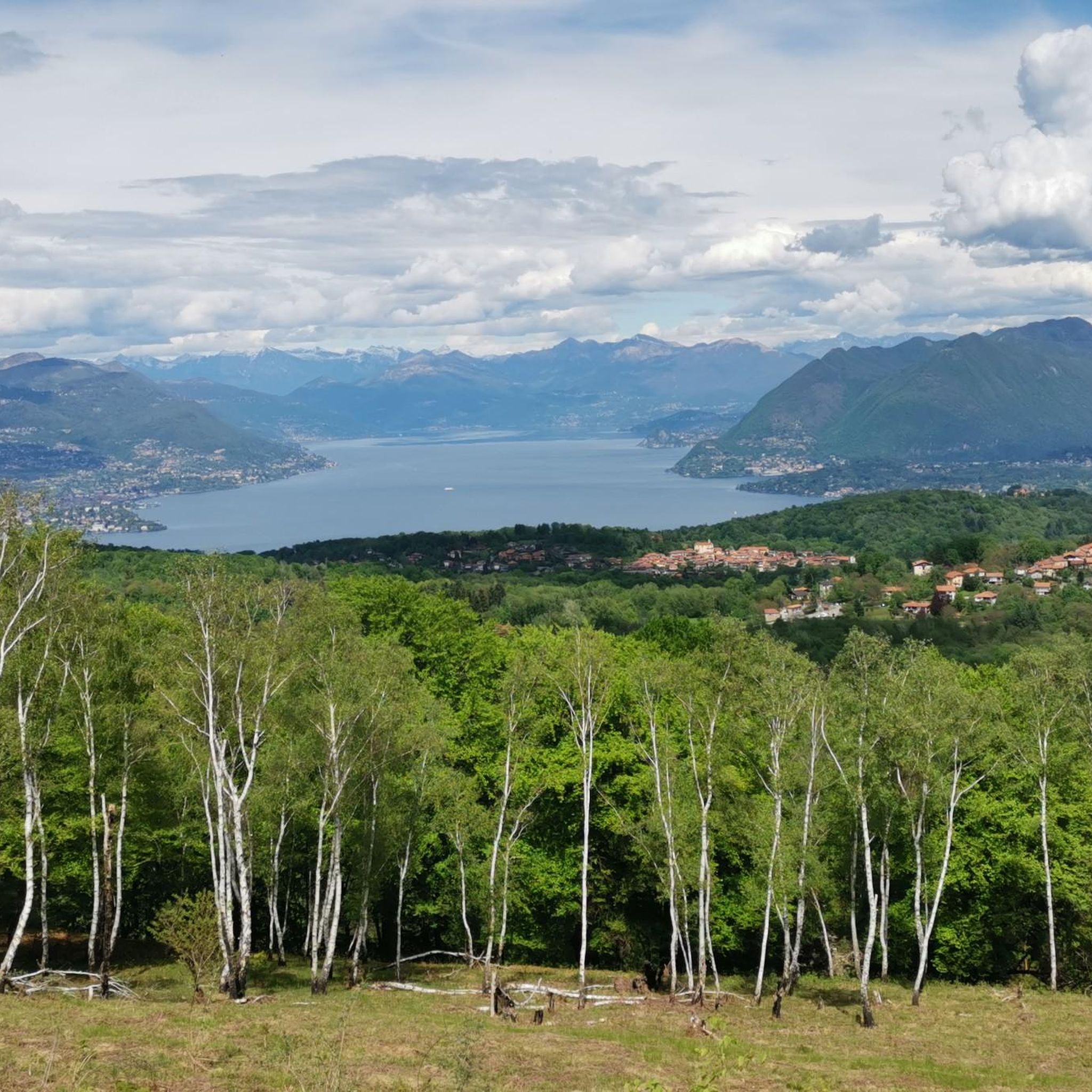
Mountaineering routes around Gignese offer access to the Alpine foothills in Italy's Verbano Cusio Ossola province. The region is characterized by its elevated position at 700 meters, providing panoramic views from the Po lakes to the Alps. Mountaineering here often involves varied terrain, from woodlands to the slopes of Mottarone, connecting the landscapes between Lake Maggiore and Lake Orta.
Best mountaineering routes around Gignese
- The most popular mountaineering route is Montorfano Ammunition Depot – Scenic viewpoint loop from Gravellona Toce…
Last updated: July 4, 2026
5.0
(4)
22
hikers
7.81km
04:01
610m
610m
Hard mountaineering route. Good fitness required. Sure-footedness, sturdy shoes and alpine experience required.
5.0
(2)
23
hikers
8.26km
02:49
410m
410m
Moderate mountaineering route. Good fitness required. Mostly accessible paths. Sure-footedness required.

Sign up for free
4.7
(6)
16
hikers
8.04km
04:30
680m
680m
Hard mountaineering route. Good fitness required. Sure-footedness, sturdy shoes and alpine experience required.
7
hikers
Hard mountaineering route. Good fitness required. Sure-footedness, sturdy shoes and alpine experience required.
5.0
(2)
7
hikers
7.61km
03:24
560m
560m
Hard mountaineering route. Good fitness required. Sure-footedness, sturdy shoes and alpine experience required.
Get access to more routes and recommendations from other explorers.
Sign up for free
Already have an account?
Our route recommendations are based on thousands of hikes, rides, and runs completed by other people on komoot.
Start today with a free account
Your next adventure awaits.
Login or Signup

Tips from the Community

Small space equipped with signs on the history of stonemasons.
0
0

Getting to the top is exciting.
0
0
Very fun short exposed section
1
0

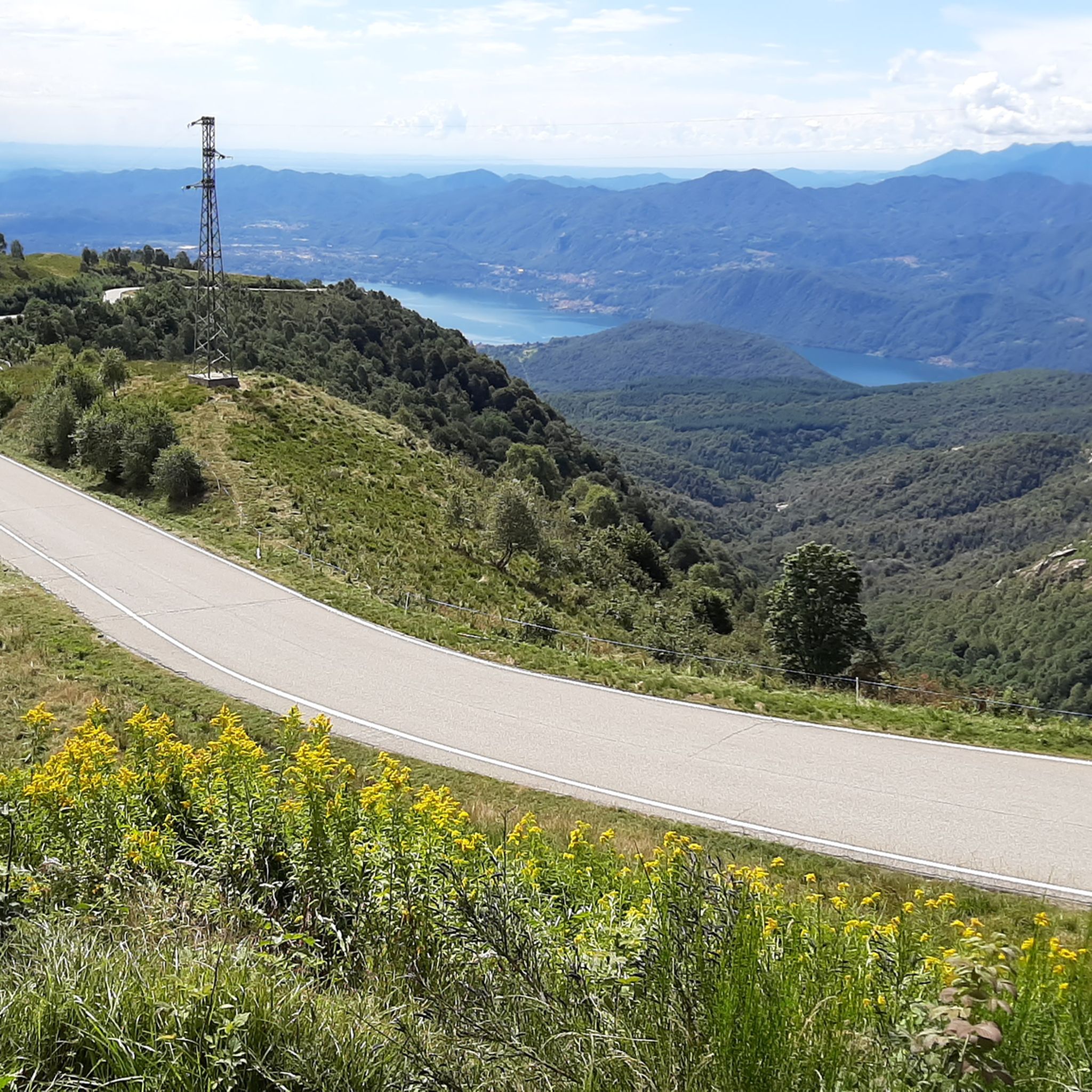
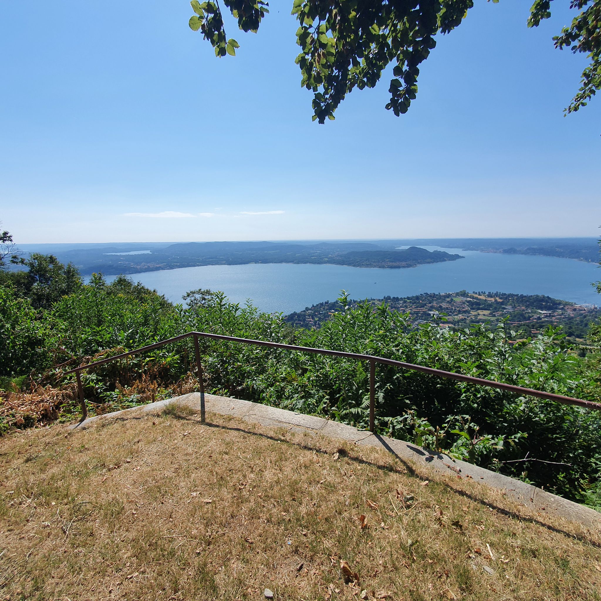
A beautiful panoramic viewpoint, also a great place to catch your breath on the trail leading to the summit from Montorfano. The trail isn't exactly easy, technically speaking.
0
0

Beautiful hike to the summit! Quite steep, but absolutely worth it!
2
0

The Little Cemetery of Montorfano
1
0


Exciting, but only in Italian and English
0
0
Frequently Asked Questions
How many mountaineering routes are available around Gignese?
Gignese offers a diverse network of over 10 mountaineering routes, catering to various skill levels. These routes traverse the Alpine foothills, providing panoramic views from the Po lakes to the majestic Alps.
Are there mountaineering routes suitable for beginners in Gignese?
Yes, Gignese has several moderate mountaineering routes ideal for those starting out or looking for a less strenuous experience. For example, the Montorfano Ammunition Depot – Scenic viewpoint loop from Gravellona Toce is a moderate 5.1-mile trail that offers scenic viewpoints without extreme difficulty.
What are some challenging mountaineering routes near Gignese?
For experienced mountaineers seeking a challenge, Gignese offers several difficult routes. The Americans' Quarry loop from Baveno is a difficult 5.2-mile path with significant elevation gain, leading through rugged terrain. Another demanding option is the Lake Maggiore Cable Car – View from Sasso del Ferro loop from Laveno Mombello Lago, which features substantial ascents.
Are there any circular mountaineering routes in the Gignese area?
Many of the mountaineering routes around Gignese are designed as loops, allowing you to start and end in the same location. A popular moderate circular route is the Alpe Nuovo loop from Mottarone, which offers beautiful views from the slopes of Mottarone. Another option is the Scenic viewpoint – View of Montorfano loop from Riserva Naturale del Fondo Toce, a 5.7-mile trail through varied natural landscapes.
What kind of views can I expect on mountaineering routes around Gignese?
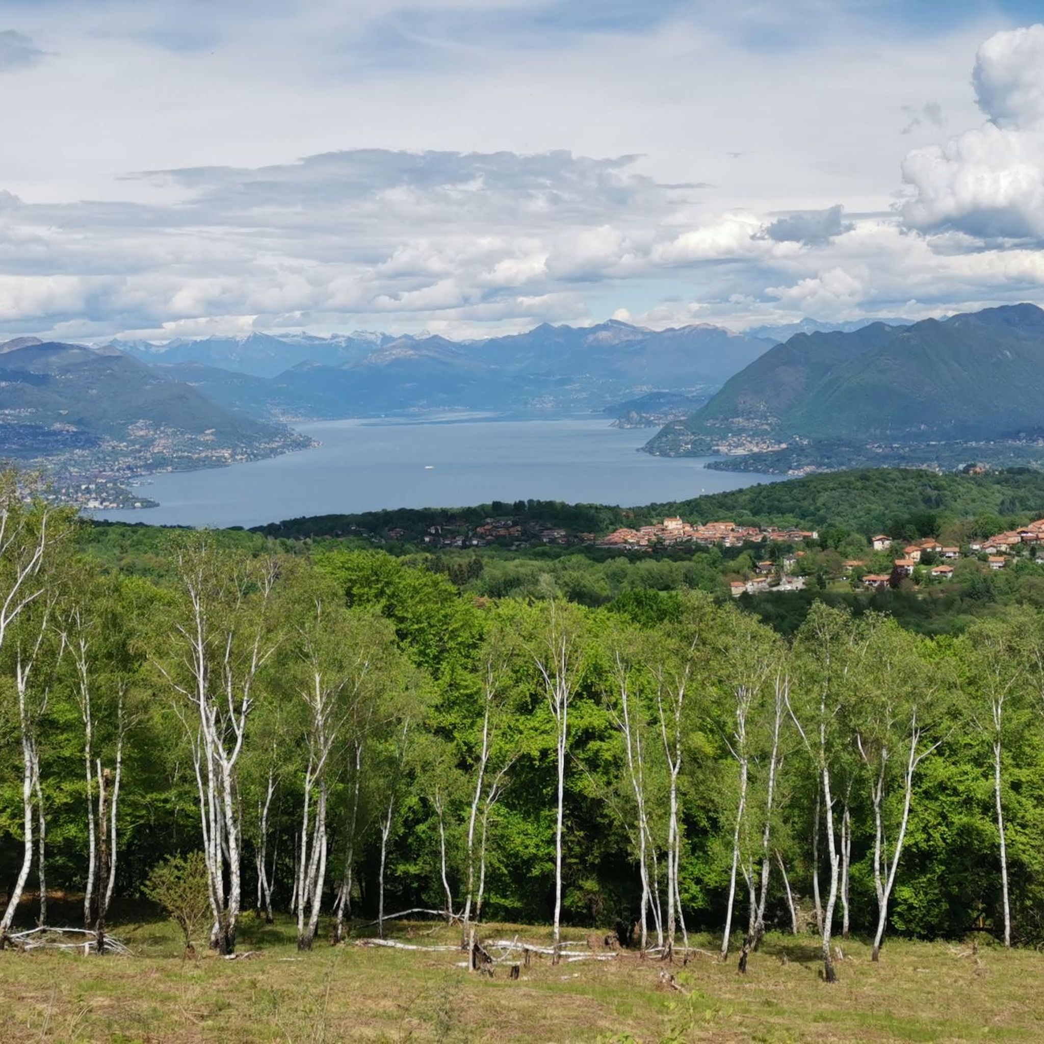
Mountaineering routes around Gignese are renowned for their breathtaking alpine panoramas. You can expect expansive views stretching from the Po lakes to the majestic peaks and glaciers of the Alps. Many trails also offer stunning vistas of Lake Maggiore and Lake Orta, especially from elevated points like Mount Sciarè and Mottarone.
Are there any waterfalls or natural attractions to see along the routes?
Yes, the region around Gignese features several beautiful natural attractions, including waterfalls. You might encounter highlights such as the Pescone Waterfall or the La Pisarota Waterfall. The area also boasts the Historic Fountain and Small Waterfall at Lake Mergozzo, offering picturesque spots to explore.
What do other mountaineers say about the routes in Gignese?
The mountaineering routes in Gignese are highly rated by the komoot community, with an impressive average score of 4.8 stars from over 80 reviews. Mountaineers often praise the diverse terrain, the stunning alpine and lake views, and the well-maintained trails that cater to various ability levels.
Is Gignese a good destination for mountaineering with dogs?
While specific dog-friendly regulations can vary by trail, the natural environment around Gignese, with its extensive woodlands and trails, is generally welcoming for dogs. It's always advisable to keep dogs on a leash, especially in protected areas or near livestock, and to carry waste bags. Always check local signage for any restrictions.
What is the best season for mountaineering in Gignese?
The best season for mountaineering in Gignese is typically from late spring to early autumn (May to October). During these months, the weather is generally mild, and the trails are clear of snow, offering optimal conditions for exploring the diverse landscapes and enjoying the panoramic views. Autumn, in particular, provides vibrant foliage.
How can I reach the mountaineering trailheads around Gignese using public transport?
Gignese is situated between Stresa and Mottarone. While local buses might connect Gignese to larger towns like Stresa, public transport directly to all trailheads can be limited. It's recommended to check local bus schedules in advance or consider a combination of public transport to Gignese and then a short taxi ride or walking to reach specific starting points.
Are there places to park near the mountaineering trailheads in Gignese?
As a charming village nestled in the mountains, Gignese and its surrounding areas typically offer parking options, especially near popular trailheads or in the village center. Look for designated parking areas, which might be free or require a small fee. Arriving earlier in the day, especially on weekends, can help secure a spot.
What other attractions can I explore in Gignese besides mountaineering?
Beyond mountaineering, Gignese offers a blend of nature, history, and sport. You can visit the unique Stone Bridge Over the San Bernardino Gorge, or explore the 'Paths of Nature and Faith' which feature devotional chapels and sanctuaries. Don't miss the 'giant panghina' (bench) on Mount Skiaré, offering a beautiful view of Lake Maggiore after a short walk.
Most popular routes around Gignese
Most popular attractions around Gignese

Get inspired with the komoot mobile app


Explore more
Browse the best Mountain Hikes & Routes in other regions.
