The best road cycling routes around Toceno
5.0
(146)
4,281
riders
11
rides
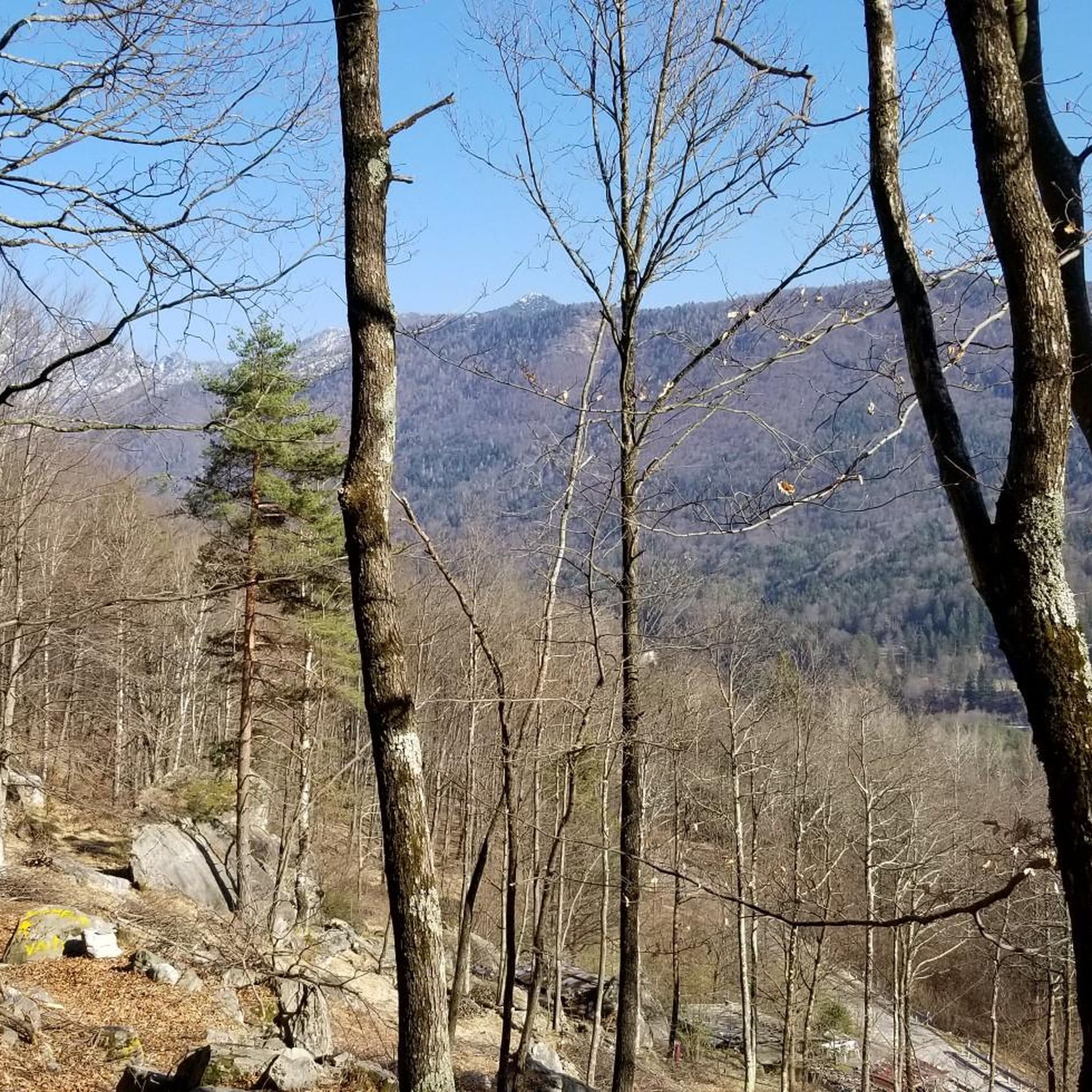
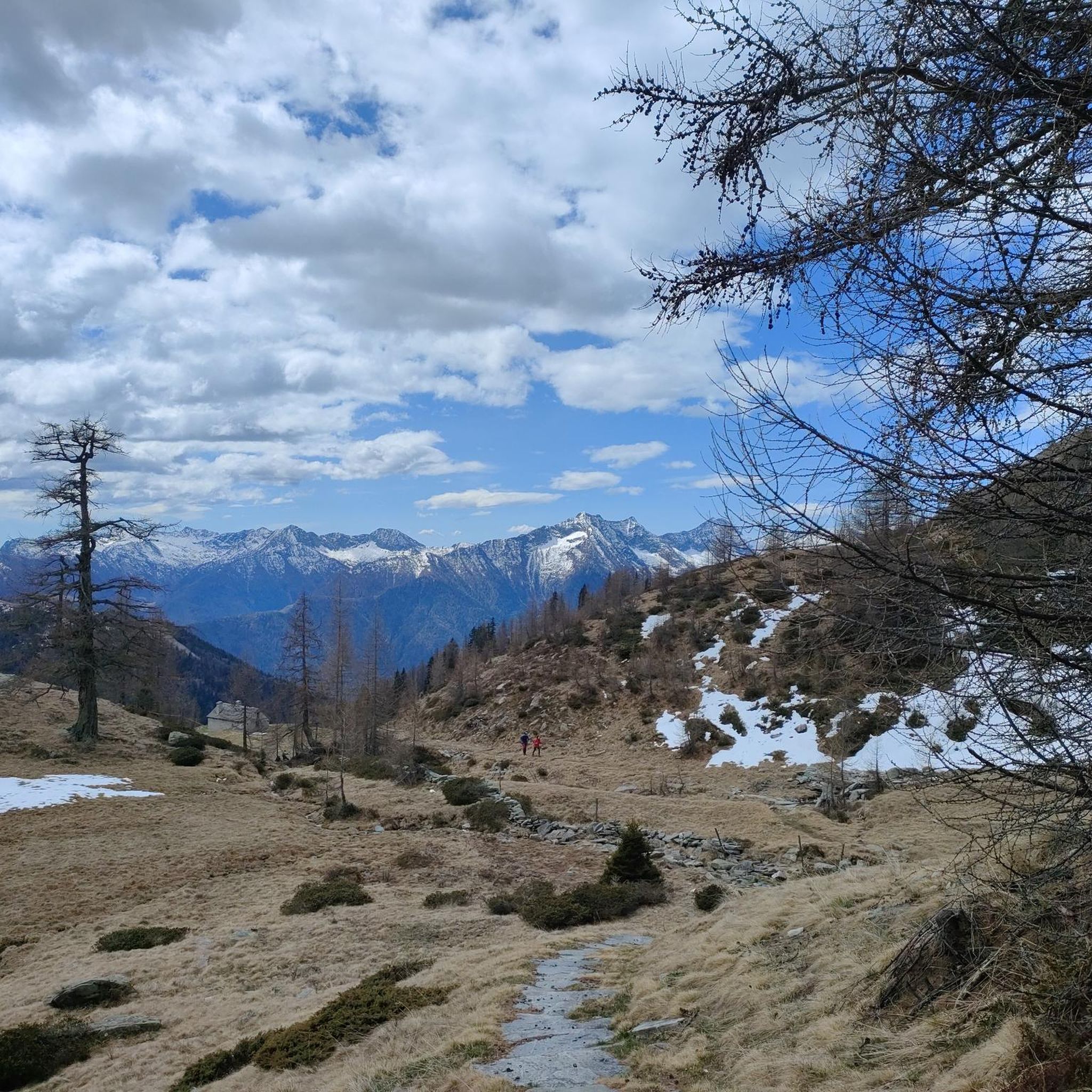
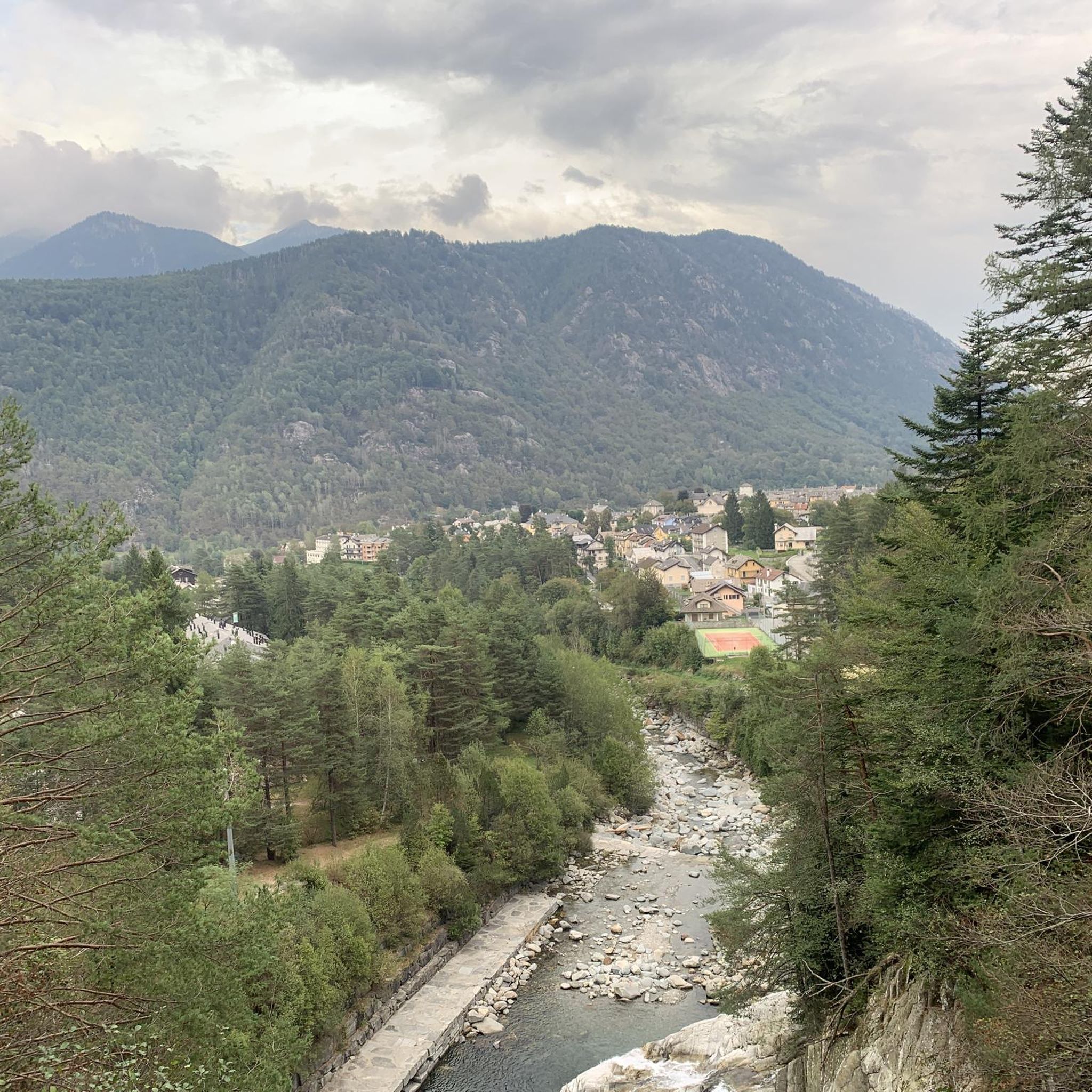
Road cycling around Toceno, situated at an elevation of 907 meters (2,976 ft) in Italy's Piedmont region, offers varied terrain for cyclists. The area is characterized by a mountainous backdrop, providing challenging climbs over mountain passes with significant elevation gains. While many routes feature paved surfaces, some segments may include unpaved sections. This region presents diverse natural features, including mountain peaks, canyons, and the Toce river valley.
Best road cycling routes around Toceno
- The most popular road cycling route is…
Last updated: July 5, 2026
4.9
(125)
3,576
riders
75.6km
04:10
1,570m
1,570m
Hard road ride. Very good fitness required. Mostly well-paved surfaces and easy to ride.
4.9
(11)
409
riders
54.1km
03:09
1,230m
1,230m
Hard road ride. Very good fitness required. Some segments of this route may be unpaved and difficult to ride.

Sign up for free
48
riders
48.7km
02:47
1,090m
1,090m
Hard road ride. Very good fitness required. Some segments of this route may be unpaved and difficult to ride.
5.0
(8)
46
riders
44.9km
02:38
1,090m
1,090m
Hard road ride. Very good fitness required. Some segments of this route may be unpaved and difficult to ride.
5.0
(1)
25
riders
84.6km
05:17
2,380m
2,380m
Hard road ride. Very good fitness required. Some segments of this route may be unpaved and difficult to ride.
Get access to more routes and recommendations from other explorers.
Sign up for free
Already have an account?
Our route recommendations are based on thousands of hikes, rides, and runs completed by other people on komoot.
Start today with a free account
Your next adventure awaits.
Login or Signup

Tips from the Community


Awesome alternative to the road along Lake Maggiore, a small detour but worth it
1
0

Beautiful route—easy to drive to the basilica in Re. Warning: from about 3 p.m. onward, there's annoying rush hour traffic uphill from car commuters from Italy.
1
0

Descent through the Centovalli - fast descent on a well-maintained road.
0
0

lake view and visit the lake
0
0
It would be worth taking a walk, a very characteristic place
0
0

A scenic hike from Loco to Intragna. Ideal for summer temperatures, as it's almost entirely forested. Sturdy footwear is highly recommended, as almost the entire approximately 6km route is on rocks, but the path is well-maintained and safe throughout. We took the bus from Intragna to Loco and walked down from the top because the climb in Intragna was too much for us. The descent from Intragna was also quite strenuous. There were several water sources with drinking water along the route.
1
0
Frequently Asked Questions
What is the general difficulty level of road cycling routes around Toceno?
Road cycling around Toceno offers a range of difficulties. While there are some moderate options, the region is primarily known for its challenging routes with significant elevation gains over mountain passes. Out of 12 routes, 6 are classified as difficult and 5 as moderate, making it ideal for cyclists with good to very good fitness levels.
Are the road cycling routes around Toceno fully paved?
Many cycling paths in the Toceno area feature mostly paved surfaces, winding through picturesque landscapes. However, cyclists should be prepared for some routes that may include unpaved segments, adding an element of adventure to the ride.
What natural features can I expect to see while cycling in Toceno?
The Toceno region is rich in diverse natural features. You can expect to encounter mountain peaks, passes, and canyons. The Toce river valley, with its cultivated fields and the ecologically significant Bosco Tenso (Tenso Woods), also offers tranquil environments and stunning vistas.
Are there any notable landmarks or viewpoints along the road cycling routes?
Yes, several routes offer access to significant landmarks and viewpoints. For instance, you might encounter the Ascent from Cannobio to Passo Marco Pantani or the Marco Pantani Pass (Scopello Pass). Other scenic spots include the View from Alpe Colma and the Piana di Vigezzo.
Which routes offer views of lakes or pass by water bodies?
Several routes in the area feature beautiful lakes. The Lake Palagnedra – Giuseppe Motta Square, Ascona loop from Santa Maria Maggiore and the Lake Palagnedra – Centovalli Railway Viaduct loop from Santa Maria Maggiore both pass by Lago di Palagnedra. Other lakes in the vicinity include Laghetto dei Salei and Lago d'Alzasca.
What is the best time of year for road cycling in Toceno?
Given Toceno's mountainous elevation at 907 meters (2,976 ft), the best time for road cycling is typically from late spring through early autumn. During these months, the weather is generally more stable, and mountain passes are clear of snow, offering optimal conditions for challenging rides and scenic views.
Are there any long-distance road cycling routes available?
Yes, Toceno offers several long-distance routes for experienced cyclists. For example, the Lake Palagnedra – Spruga village loop from Malesco is a demanding 84.6 km ride with over 2,300 meters of elevation gain, typically taking over 5 hours to complete.
What do other road cyclists say about the routes in Toceno?
The road cycling routes in Toceno are highly rated by the komoot community, with an average score of 4.9 stars from over 130 reviews. Cyclists often praise the varied terrain, the challenging climbs, and the stunning mountainous landscapes that define the region.
Where can I find parking facilities for cyclists in Toceno?
While specific parking facilities for cyclists are not detailed, Toceno is a municipality in Italy's Piedmont region. It is advisable to look for public parking areas within the village or at common starting points for routes, such as Santa Maria Maggiore or Malesco, which are often used as departure points for tours.
Is public transport available to Toceno for cyclists with bikes?
Toceno is situated in the Province of Verbano-Cusio-Ossola. For public transport options, especially those accommodating bicycles, it is recommended to check local and regional bus or train services connecting to the Vigezzo Valley. Specific bike carriage policies can vary, so checking with operators beforehand is advised.
Are there any specific permits required for cycling on certain routes or in protected areas?
There is no general information indicating that specific permits are required for road cycling on the routes around Toceno. However, if you plan to venture into any designated natural parks or protected areas, it is always prudent to check local regulations for any specific access rules or permit requirements.
Are there any road cycling routes that are particularly scenic or offer unique views?
Many routes in Toceno are scenic due to the mountainous backdrop. The Bridge Over the Maggia – Intragna loop from Distretto di Locarno is a challenging route that includes climbs and descents across varied terrain, passing over bridges and through scenic areas, offering diverse views of the landscape.
Most popular attractions around Toceno

Get inspired with the komoot mobile app


Explore more
Browse the best Road cycling routes in other regions.
