The best MTB trails around Serrig
4.4
(77)
288
riders
24
rides
Mountain biking around Serrig offers diverse terrain, characterized by the Saar River valley and its surrounding steep slopes. The region features a mix of forested areas and open views, including features like the Serrig Lock and Dam. Mountain bike trails near Serrig often involve varied elevations, providing options from gentle riverside paths to more challenging climbs. The landscape is shaped by the river and its tributaries, creating a dynamic environment for cycling.
Best mountain bike trails around Serrig
- The most…
Last updated: October 8, 2026
4.5
(37)
127
riders
31.8km
02:01
290m
290m
Moderate mountain bike ride. Good fitness required. Advanced riding skills necessary.
5.0
(3)
17
riders
19.3km
02:04
470m
470m
Moderate mountain bike ride. Good fitness required. Advanced riding skills necessary.

5.0
(9)
24
riders
50.0km
04:10
940m
940m
Hard mountain bike ride. Very good fitness required. Suitable for all skill levels.
4.3
(9)
13
riders
23.0km
01:36
320m
320m
Moderate mountain bike ride. Good fitness required. Suitable for all skill levels.
3.0
(1)
7
riders
38.4km
03:31
840m
840m
Moderate mountain bike ride. Good fitness required. Advanced riding skills necessary.
Get access to more routes and recommendations from other explorers.
Already have an account?
Our route recommendations are based on thousands of hikes, rides, and runs completed by other people on komoot.
Start today with a free account
Your next adventure awaits.
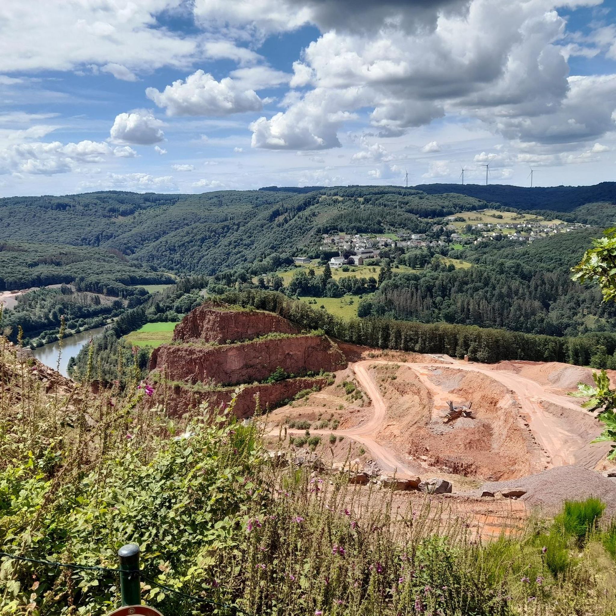
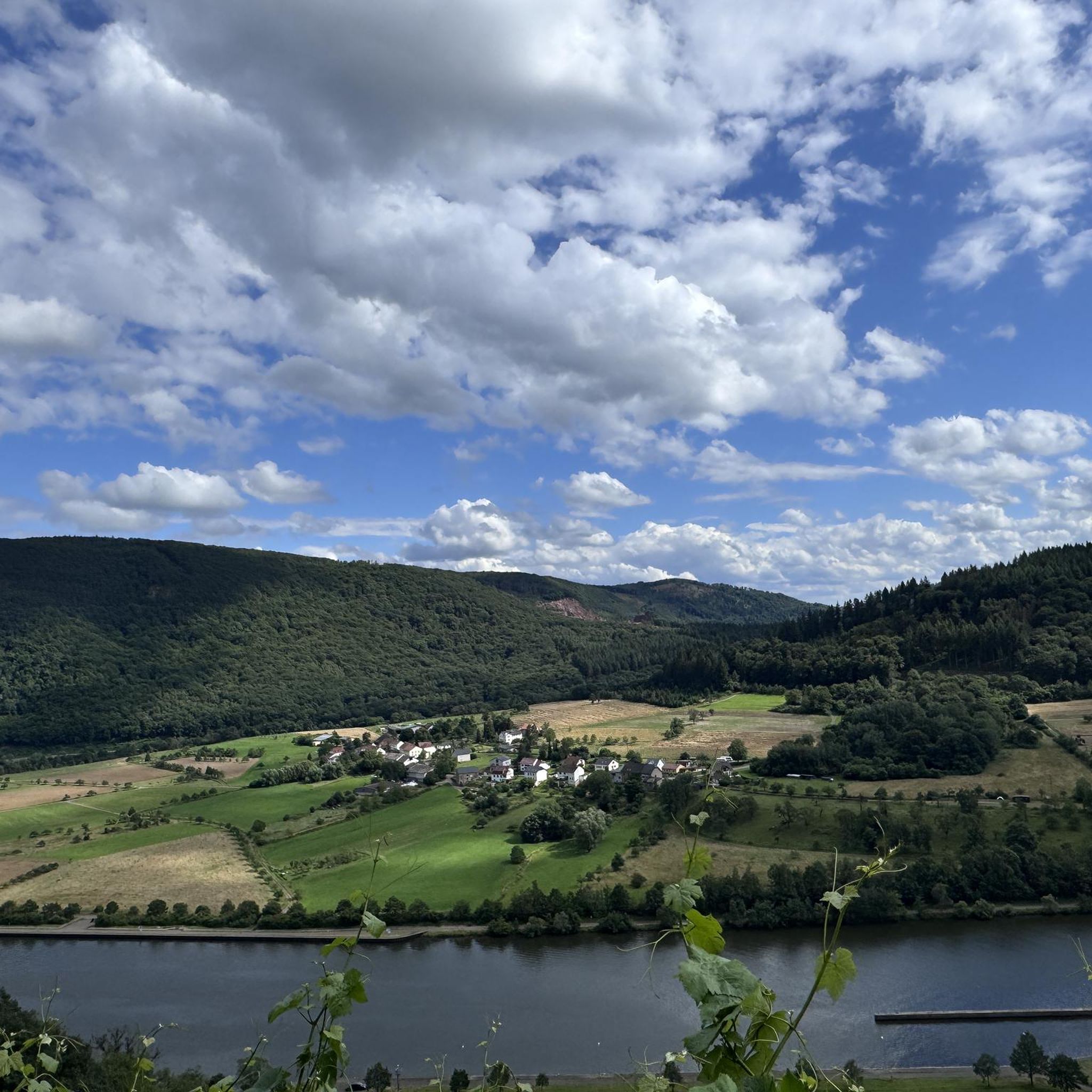

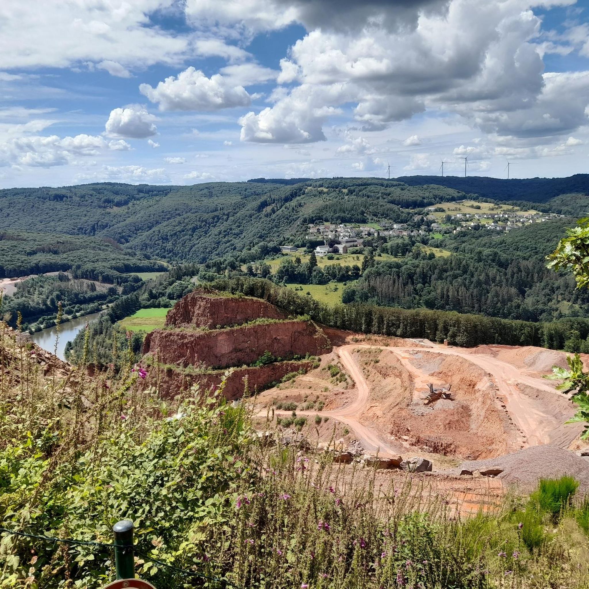
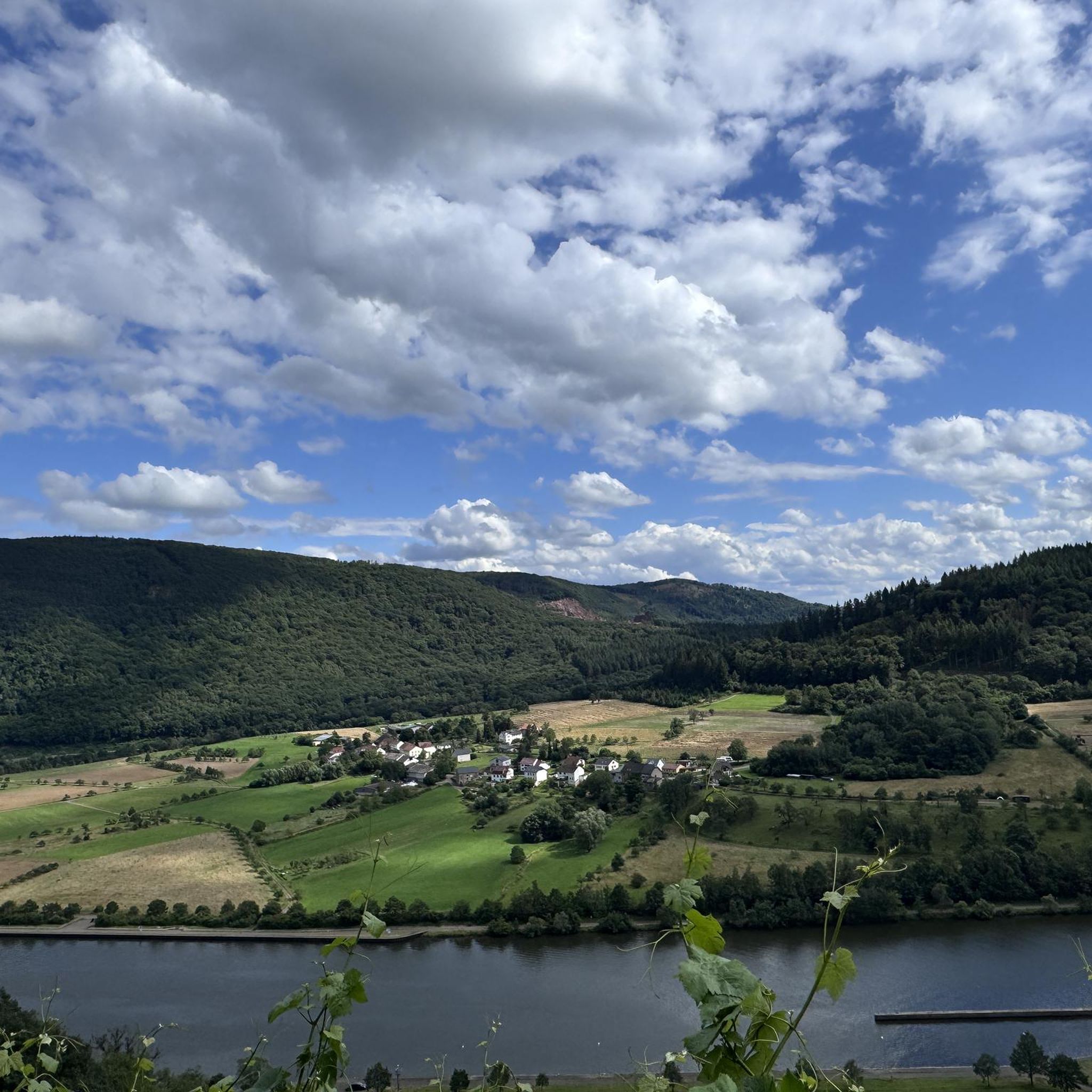
Tips from the Community

short detour to Saarburg, it was worth it
0
0

Nice playful paths through the forest. We rode these during the bikepacking of the Gravelbike-Saarlandrunde and that went perfectly fine. Playful but not too technical. Whoever feels like it cycles through the stream as we did.
1
0

great, easily rideable section of trail along the Saar
0
0

The parish church sits in a picturesque location high above the Saar valley.
0
0
Very beautiful panorama.
1
0


Very pretty but the climb is a little over grown and there is some debris. Also the climb is very steep, so to the unfit: beware!
0
1

Very well-maintained and idyllic complex near the reservoir
0
0
Frequently Asked Questions
How many mountain bike trails are available around Serrig?
There are over 25 mountain bike trails around Serrig, catering to various skill levels. You'll find options ranging from easy riverside paths to challenging routes with significant elevation changes.
Are there any easy mountain bike trails suitable for beginners in Serrig?
Yes, Serrig offers several easy mountain bike trails. A good option for beginners is the View of Klause Kastel – Serrig Lock and Dam loop from Serrig. This 16.3 km (10.1 miles) route is relatively flat, taking about 53 minutes to complete, and provides scenic views of the lock and dam.
What are the options for advanced mountain bikers looking for a challenge?
For experienced mountain bikers seeking a demanding ride, the region offers challenging routes. Consider the View of Losheim from Scheiden – Losheim am See Reservoir loop from Serrig. This difficult 55.7 km (34.6 miles) path features substantial elevation gain around the Losheim am See Reservoir, requiring good fitness and technical skills.
Are there circular mountain bike routes in Serrig?
Many of the mountain bike trails around Serrig are designed as circular routes, allowing you to start and end at the same point. An example is the Bridge over the Wolfsbach – Saar River Steep Slopes loop from Taben, a 19.3 km (12.0 miles) moderate trail that takes about 2 hours 4 minutes to complete.
What kind of natural attractions or landmarks can I see while mountain biking in Serrig?
The trails around Serrig offer access to various natural attractions and viewpoints. You might encounter stunning vistas like the View of the Saarschleife from Cloef or the View of Saarburg and Saarburg Castle. The region also features unique geological formations such as the Saar Loop and the Devil's Rock.
Are there any family-friendly mountain bike trails in Serrig?
While many trails involve varied elevations, some sections along the Saar River are flatter and more suitable for families. For specific family-friendly options, look for routes marked as 'easy' on komoot, which typically have less challenging terrain and shorter distances.
What is the best time of year for mountain biking in Serrig?
The best time for mountain biking in Serrig is generally from spring through autumn (April to October). During these months, the weather is usually mild, and the trails are dry and well-maintained. The autumn foliage along the Saar River valley can be particularly beautiful.
What are the winter conditions like for mountain biking in Serrig?
Winter mountain biking in Serrig can be challenging due to colder temperatures, potential for ice or snow, and muddy conditions on some trails. While some dedicated riders continue, it's advisable to check local weather and trail conditions before heading out, and ensure your bike and gear are suitable for winter riding.
Where can I find parking for mountain bike trailheads in Serrig?
Parking is generally available in and around Serrig, particularly near popular starting points for trails. Many routes begin from the village center or designated parking areas along the Saar River. It's recommended to check the specific route details on komoot for suggested parking locations.
Is it possible to access mountain bike trails in Serrig using public transport?
Serrig is connected by public transport, primarily buses, which can help you reach the area. However, direct access to specific trailheads via public transport might be limited. Planning your route in advance and checking local bus schedules will help determine the best approach.
What do other mountain bikers enjoy most about the trails in Serrig?
The mountain bike trails in Serrig are highly rated by the komoot community, with an average score of 4.5 stars from over 100 reviews. Riders often praise the diverse terrain, the scenic views of the Saar River valley, and the mix of challenging climbs and enjoyable descents through forested areas.
Are there any hidden gem mountain bike trails near Serrig?
While specific 'hidden gems' are often discovered by local exploration, many trails in the region offer a sense of discovery away from the most popular spots. Exploring routes that venture into the less-traveled parts of the Saar River Steep Slopes or towards smaller villages can reveal quieter, equally rewarding experiences.
Are there any routes that pass by lakes or water features?
Yes, some routes in the wider Serrig area will take you past beautiful water features. For instance, you might encounter the Bärenfelsweiher or the Pond in the Leukbach Valley, offering serene spots to pause during your ride.
Most popular attractions around Serrig

Get inspired with the komoot mobile app


Explore more
Browse the best MTB trails in other regions.
