The best walks and hikes around Casal Cermelli
4.0
(84)
481
hikers
86
hikes
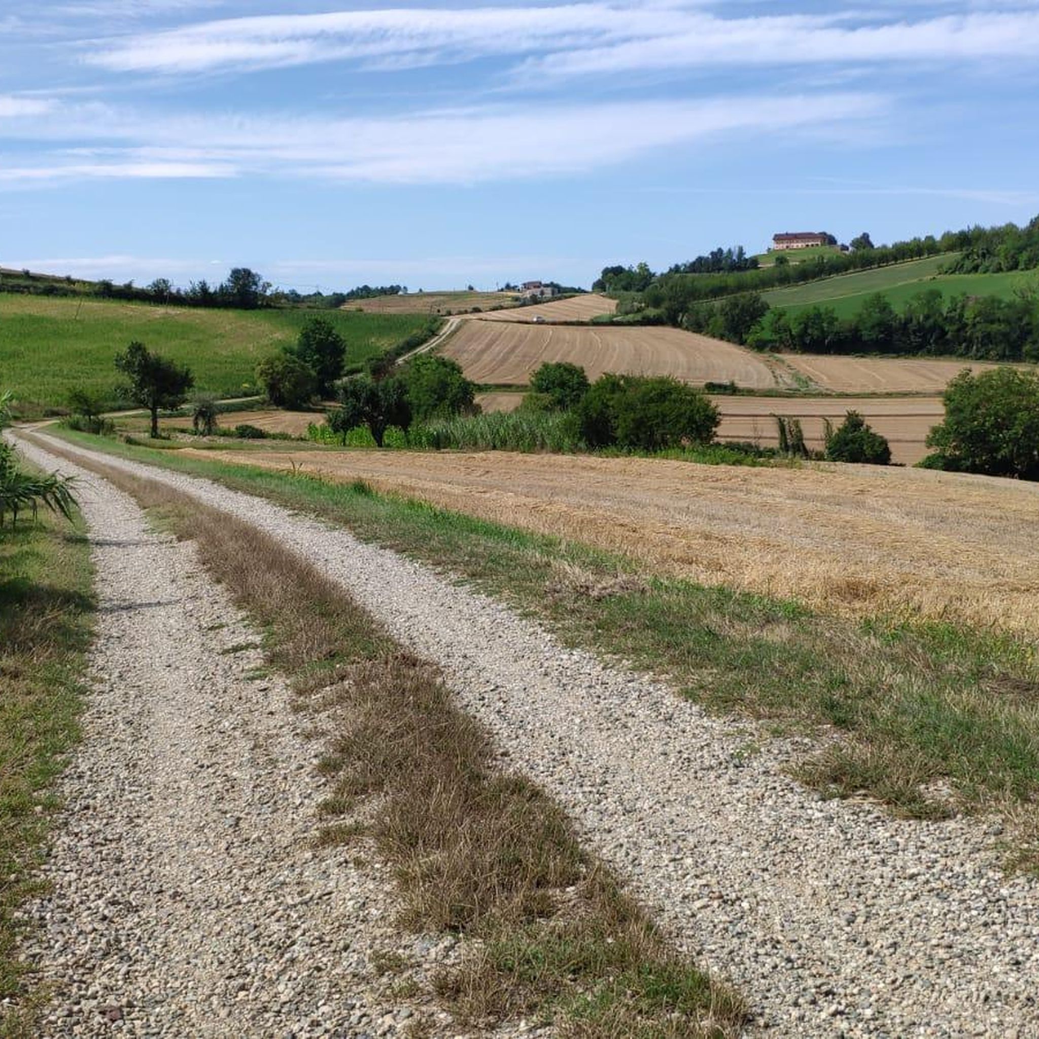
Hiking around Casal Cermelli offers routes through the flat plains of the Alessandria province, characterized by agricultural landscapes and historical urban fringes. The terrain is generally level, with minimal elevation changes, making it accessible for various activity levels. River courses and local historical sites often feature in the area's trails.
Best hiking trails around Casal Cermelli
- The most popular hiking route is Alessandria Ramparts Ring Trail, a 2.6 miles (4.2 km) trail that takes 1 hour 5 minutes to…
Last updated: July 1, 2026
3.0
(1)
1
hikers
12.1km
03:04
20m
20m
Moderate hike. Good fitness required. Easily-accessible paths. Suitable for all skill levels.
6
hikers
8.12km
02:03
10m
10m
Moderate hike. Good fitness required. Easily-accessible paths. Suitable for all skill levels.

Sign up for free
4.5
(4)
6
hikers
10.6km
02:39
10m
10m
Moderate hike. Good fitness required. Easily-accessible paths. Suitable for all skill levels.
4.5
(2)
4
hikers
Moderate hike. Good fitness required. Easily-accessible paths. Suitable for all skill levels.
4
hikers
11.4km
02:53
10m
10m
Moderate hike. Good fitness required. Easily-accessible paths. Suitable for all skill levels.
Get access to more routes and recommendations from other explorers.
Sign up for free
Already have an account?
Our route recommendations are based on thousands of hikes, rides, and runs completed by other people on komoot.
Start today with a free account
Your next adventure awaits.
Login or Signup
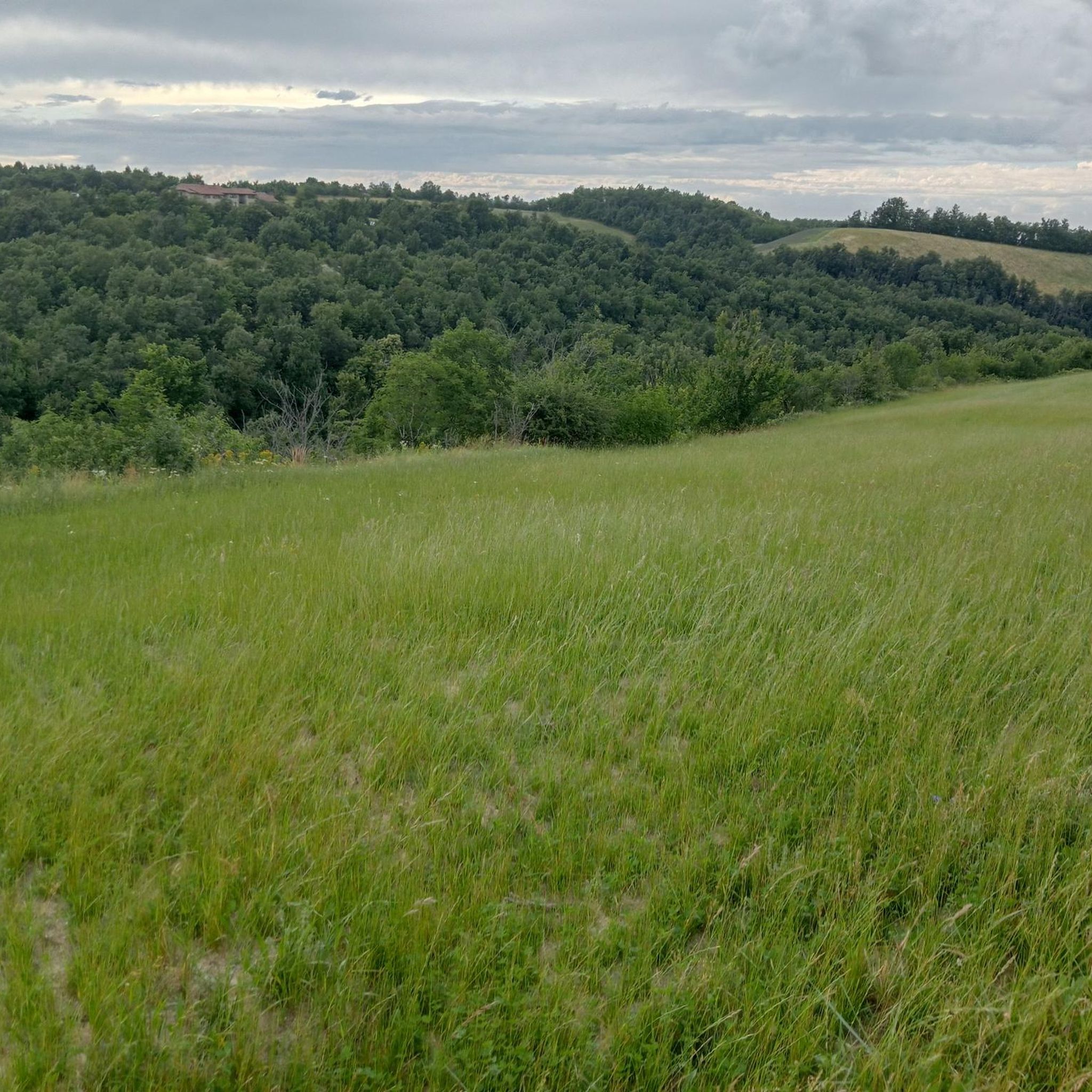
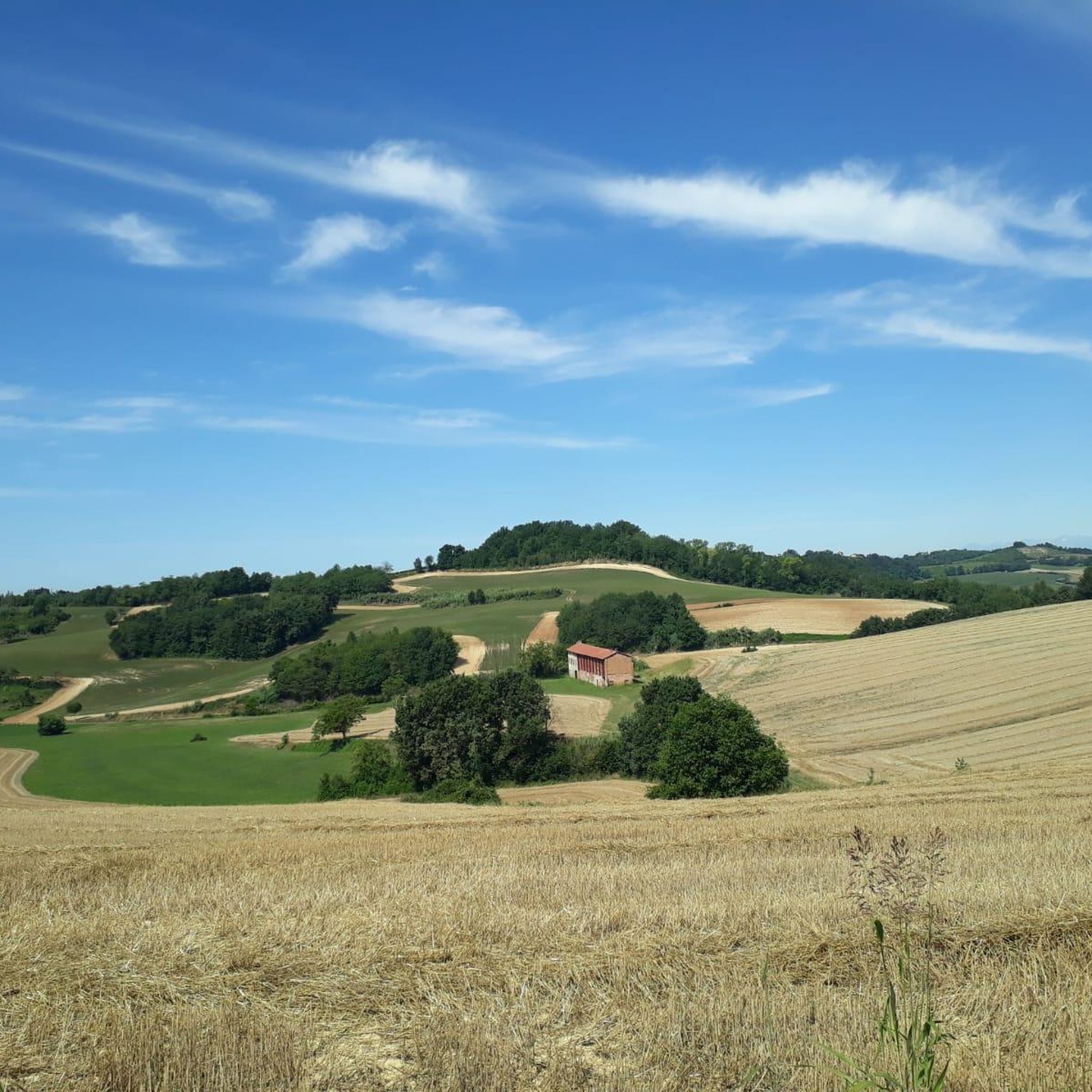
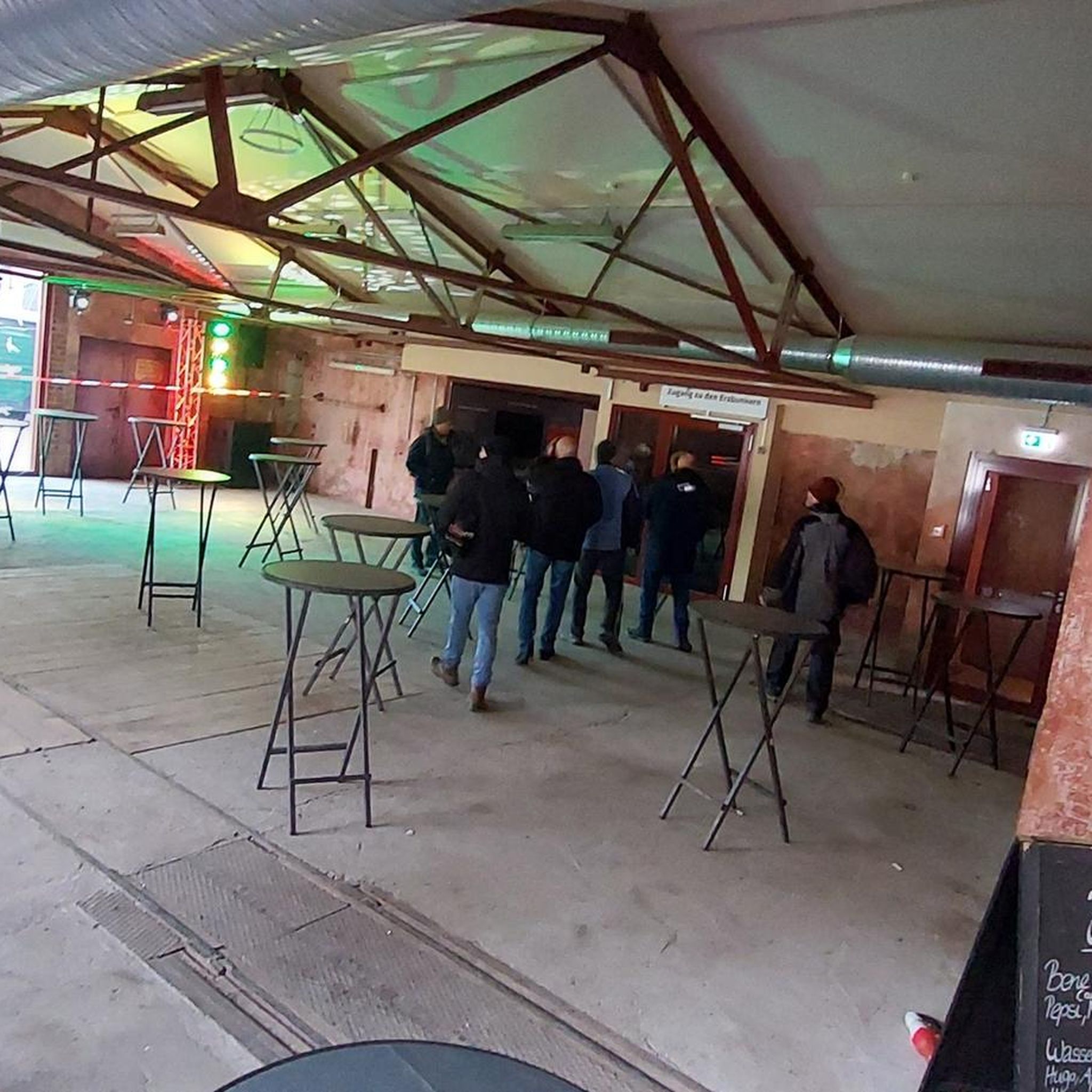
Tips from the Community

Cycle path that divides the Cristo area of Alessandria from Cabanette
0
0

brand new (autumn 2024) section of the Alessandria-Cabanette cycle path (2 km in total)
0
0
new (summer 2024) Alessandria/Cabanette cycle path
0
0
Hamlet of Alessandria; In the photo the Carlo Alberto canal - built in 1831 - which originates from the Bormida in Cassine and flows into the Tanaro in Casalbagliano; until the 1930s it entered the Tanaro downstream from the city of Alessandria; today, however, the canal has been diverted at Spandonara so that it flows upstream of the city. The old riverbed was used for the sewerage system;
1
0
trip to the suburbs of Alexandria: Cabanette https://www.youtube.com/watch?v=J9PEd-z9VmA
0
0
church square; next to it is the headquarters of the CONFRATERNITA DU "RABATON", a typical dish of the Fraschetta plain
0
0
S. Stefano a Castellazzo Bormida. Of monastic origin, it dates back to the 11th century, both for the presence of a crypt and for the three apses, similar to those of Santa Giustina a Sezzadio. http://archeocarta.org/castellazzo-bormida-al-chiesa-di-santo-stefano/
0
1
Frequently Asked Questions
How many hiking trails are available around Casal Cermelli?
There are nearly 50 hiking routes available around Casal Cermelli, catering to various preferences. Most of these, around 30, are classified as easy, while the remaining are moderate.
What kind of terrain can I expect on hikes near Casal Cermelli?
The terrain around Casal Cermelli is generally flat, characterized by agricultural landscapes and river plains. You'll experience minimal elevation changes, making most routes accessible and enjoyable for a relaxed walk through the countryside or urban fringes.
Are there easy hikes suitable for beginners or families?
Yes, Casal Cermelli offers many easy routes perfect for beginners and families. An excellent option is the Alessandria Ramparts Ring Trail, which is 2.6 miles (4.2 km) long and circles historical defenses, offering a pleasant and accessible experience.
Are there any circular walks in the area?
Yes, there are several circular walks. A popular choice is the Ponte Meier – Cittadella di Alessandria loop from Alessandria, a 5.9 miles (9.4 km) trail that takes you through urban and historical areas. Another option is the Hiking loop from Alessandria.
What historical sites or attractions can I see along the hiking trails?
Many trails incorporate historical landmarks. You can explore the Cittadella di Alessandria, a significant historical site, or cross the impressive Meier Bridge. Other notable attractions include the Abbey of Santa Giustina and the Santa Croce Monumental Complex.
What do other hikers enjoy most about the trails in Casal Cermelli?
The trails around Casal Cermelli are highly rated by the komoot community, with an average score of 4.2 stars from over 80 reviews. Hikers often praise the accessible, generally flat terrain, the blend of natural agricultural landscapes with historical sites, and the well-maintained paths that connect towns and offer a peaceful outdoor experience.
Can I bring my dog on the hiking trails?
While specific restrictions vary by route, many trails in the Casal Cermelli area, especially those through agricultural fields and less urbanized areas, are generally dog-friendly. It's always recommended to keep your dog on a leash and be mindful of local regulations, particularly near farmlands or historical sites.
When is the best time of year to hike in Casal Cermelli?
Given the generally flat terrain and agricultural landscape, hiking around Casal Cermelli is pleasant for much of the year. Spring and autumn offer mild temperatures and beautiful scenery. Summer can be warm, so early morning or late afternoon hikes are advisable. Winter hikes are also possible, as heavy snow is uncommon, but paths might be muddy.
Are there any longer, more challenging hikes for experienced hikers?
For those seeking a longer moderate challenge, the From Castelspina to Castellazzo Bormida (via Trail 836) route is 7.5 miles (12.1 km) and connects two towns through the surrounding countryside. Another option is the Piazzetta Santo Stefano – Ponte della Maddalena loop from Alessandria, which is 14.3 km.
What should I wear for hiking in this region?
Given the flat terrain and minimal elevation, comfortable walking shoes or light hiking boots are usually sufficient. Dress in layers to adapt to changing weather, especially during spring and autumn. A hat and sunscreen are recommended for sunny days, as many paths are exposed to the sun.
Is public transport available to access hiking trails?
Many routes, particularly those starting from or passing through Alessandria, are accessible via public transport. The region's network of trails often connects towns and urban centers, making it convenient to reach trailheads without a car. Check local bus schedules for specific starting points.
Where can I find parking for hiking trails?
For trails starting in or near towns like Alessandria, public parking facilities are generally available. For routes in more rural areas, look for designated parking spots near trailheads or consider parking in nearby villages. Always ensure you park legally and respectfully.
Most popular routes around Casal Cermelli
Most popular attractions around Casal Cermelli

Get inspired with the komoot mobile app


Explore more
Browse the best Hikes in other regions.
