The best road cycling routes in the Serra do Caparao
20
riders
3
rides
Road cycling in the Serra do Caparaó offers challenging terrain within the Caparaó National Park, situated on the border of Minas Gerais and Espírito Santo states in Brazil. The region is characterized by mountainous topography, featuring rugged landscapes and high peaks like Pico da Bandeira, Brazil's third-highest mountain. Cyclists encounter demanding uphill segments and rewarding descents through diverse ecosystems, including montane rainforests and high-altitude forests. The varied gradients test endurance and skill across its extensive network of roads.
Best road…
Last updated: July 10, 2026
16
riders
96.4km
04:48
970m
970m
Hard road ride. Very good fitness required. Mostly well-paved surfaces and easy to ride.
2
riders
113km
05:08
1,080m
1,080m
Hard road ride. Very good fitness required. Mostly well-paved surfaces and easy to ride.

Sign up for free
1
riders
89.9km
05:37
1,700m
1,690m
Hard road ride. Very good fitness required. Some segments of this route may be unpaved and difficult to ride.
Our route recommendations are based on thousands of hikes, rides, and runs completed by other people on komoot.
Start today with a free account
Your next adventure awaits.
Login or Signup
Popular around Serra do Caparao
Tips from the Community

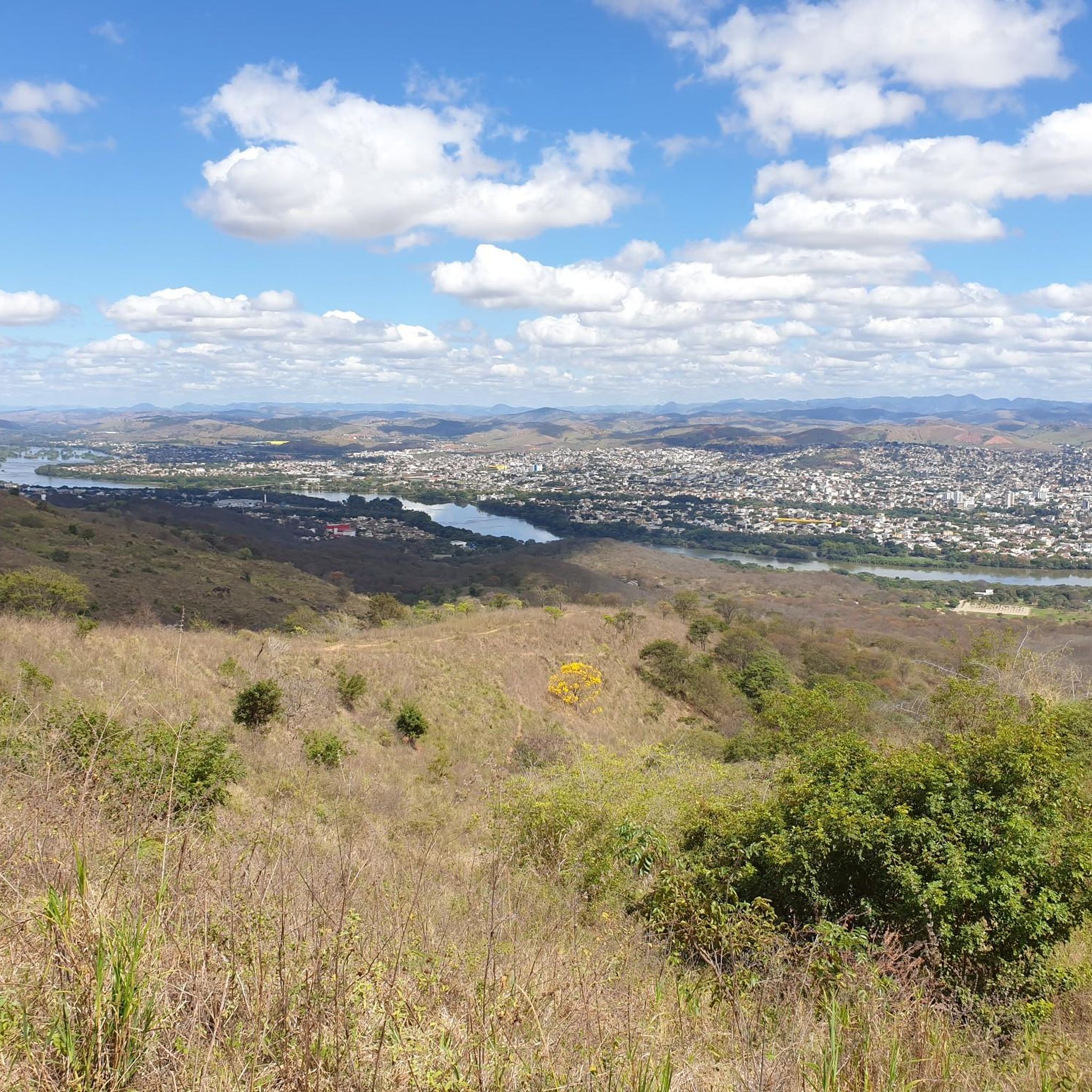
Good place to buy water, isotonic, energy and also a cheese bread.
0
0
Frequently Asked Questions
What is the typical difficulty level for road cycling routes in Serra do Caparaó?
Road cycling in Serra do Caparaó is primarily characterized by challenging terrain. The routes available, such as the Panificadora Lerolense loop from Eurico de Aguiar Salles Airport, are generally classified as difficult, featuring significant elevation gains and demanding segments suitable for experienced cyclists.
What kind of elevation gain can I expect on road cycling routes here?
Cyclists in Serra do Caparaó should prepare for substantial elevation gains. For instance, the Panificadora Lerolense loop from Santa Maria de Jetibá includes over 1,600 meters of ascent, while the Lago do Parque da Lagoa loop from Estação Ferroviária de Colatina features over 1,000 meters. The mountainous topography ensures a consistent test of endurance.
What natural features will I encounter while road cycling in Serra do Caparaó?
The Serra do Caparaó region offers a diverse and dramatic landscape. You'll cycle through montane rainforests, high-altitude forests with brushwood, and open alpine meadows. The routes often provide breathtaking panoramic views of the Caparaó Mountains, including peaks like Pico da Bandeira, Brazil's third-highest mountain.
Are there any notable landmarks or attractions accessible by road bike in the Serra do Caparaó region?
While road cycling, you'll be immersed in the natural beauty of the Caparaó National Park. The region is known for numerous waterfalls with crystalline waters, such as Farofa, Rogério, and Poço das Antas. Beyond the park, the area is also home to special coffee farms, offering unique cultural experiences related to cultivation and tasting.
What is the best time of year for road cycling in Serra do Caparaó?
The region experiences low temperatures, with frost almost daily in winter at higher altitudes. For more comfortable cycling conditions, the warmer months are generally preferable, though the dramatic vistas are present year-round. Always check local weather forecasts, especially for higher elevations.
Do I need any special permits to cycle in Caparaó National Park?
Caparaó National Park has specific regulations for visitors. While the guide focuses on road cycling outside the immediate park trails, if your route takes you into the park's managed areas, it's advisable to check the official park website for current permit requirements and access rules. You can find more information about the park on Wikipedia.
Are there any family-friendly or beginner road cycling routes in Serra do Caparaó?
The road cycling routes highlighted in Serra do Caparaó are predominantly challenging, featuring significant elevation and classified as difficult. This region is best suited for advanced road cyclists seeking demanding routes, and may not be ideal for beginners or young families looking for easy rides.
Can I bring my dog on road cycling routes in Serra do Caparaó?
While many outdoor areas are dog-friendly, national parks and protected areas often have restrictions to protect wildlife. If your route approaches or enters Caparaó National Park, it's crucial to verify the park's specific pet policies to ensure compliance and the safety of your pet and local fauna.
Are there circular road cycling routes available in Serra do Caparaó?
Yes, several popular road cycling routes in the Serra do Caparaó are designed as loops. Examples include the Panificadora Lerolense loop from Eurico de Aguiar Salles Airport and the Lago do Parque da Lagoa loop from Estação Ferroviária de Colatina, allowing you to start and end at the same point.
Where can I find parking for road cycling routes in Serra do Caparaó?
For routes originating from specific towns or points like airports or train stations, such as the Panificadora Lerolense loop from Eurico de Aguiar Salles Airport, parking facilities are typically available at or near the starting points. It's always recommended to check local parking options for your chosen trailhead in advance.
Is public transport an option for reaching road cycling routes with my bike?
While specific public transport options for cyclists with bikes can vary, major towns in the region, such as Alto Caparaó, may offer connections. It's advisable to research local bus services or private transfer options that accommodate bicycles if you plan to use public transport to access the routes.
Are there places to stay or services for cyclists in the Serra do Caparaó region?
Towns like Alto Caparaó, often a gateway to the national park, provide various services for visitors. You can find accommodation, cafes, and restaurants. While dedicated bike shops or rentals might be limited, these towns serve as good bases for exploring the surrounding road cycling routes.
Most popular routes in the Serra do Caparao

Get inspired with the komoot mobile app


Explore more
Browse the best Road cycling routes in other regions.
