The best running trails around Gremiasco
4.5
(6)
452
runners
52
runs
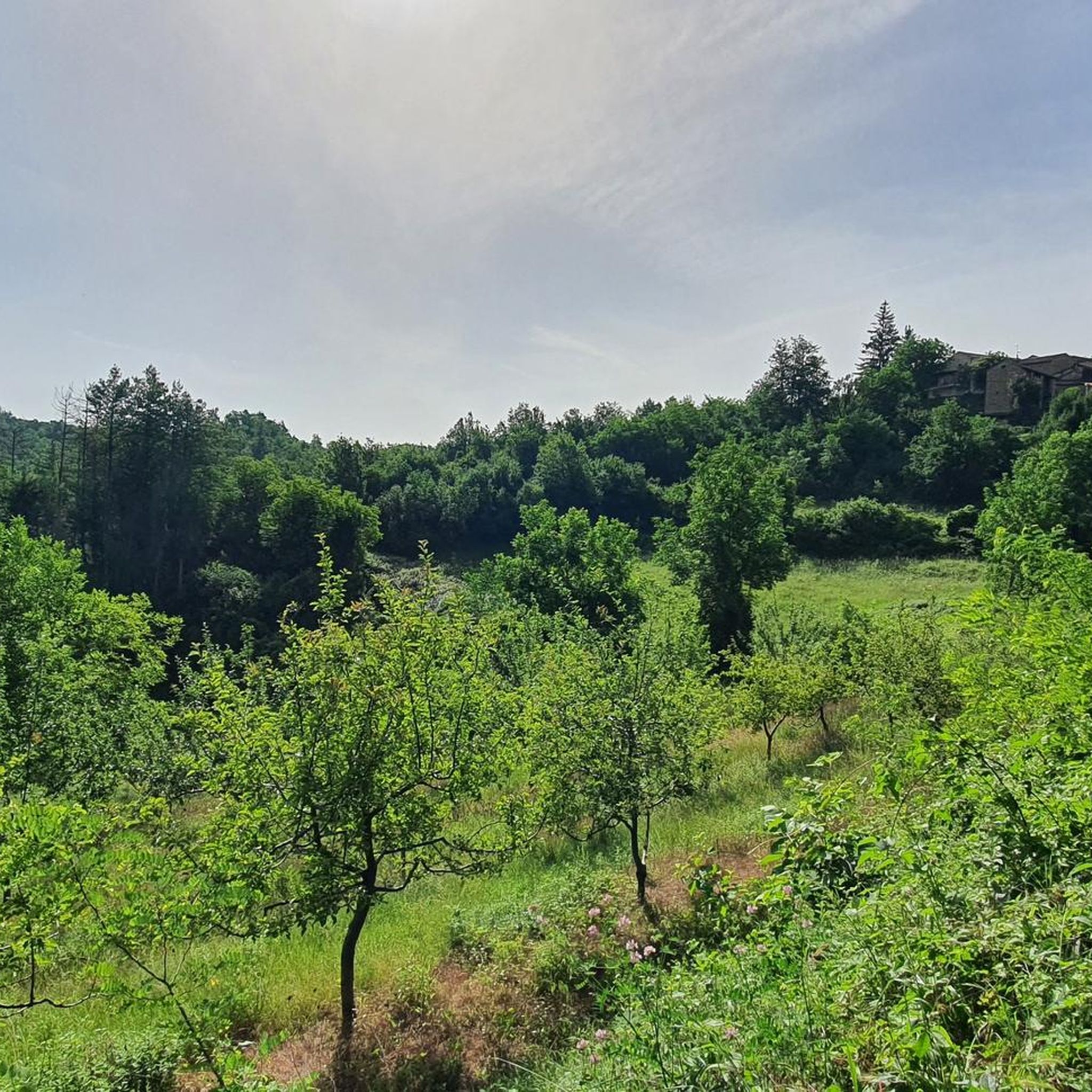
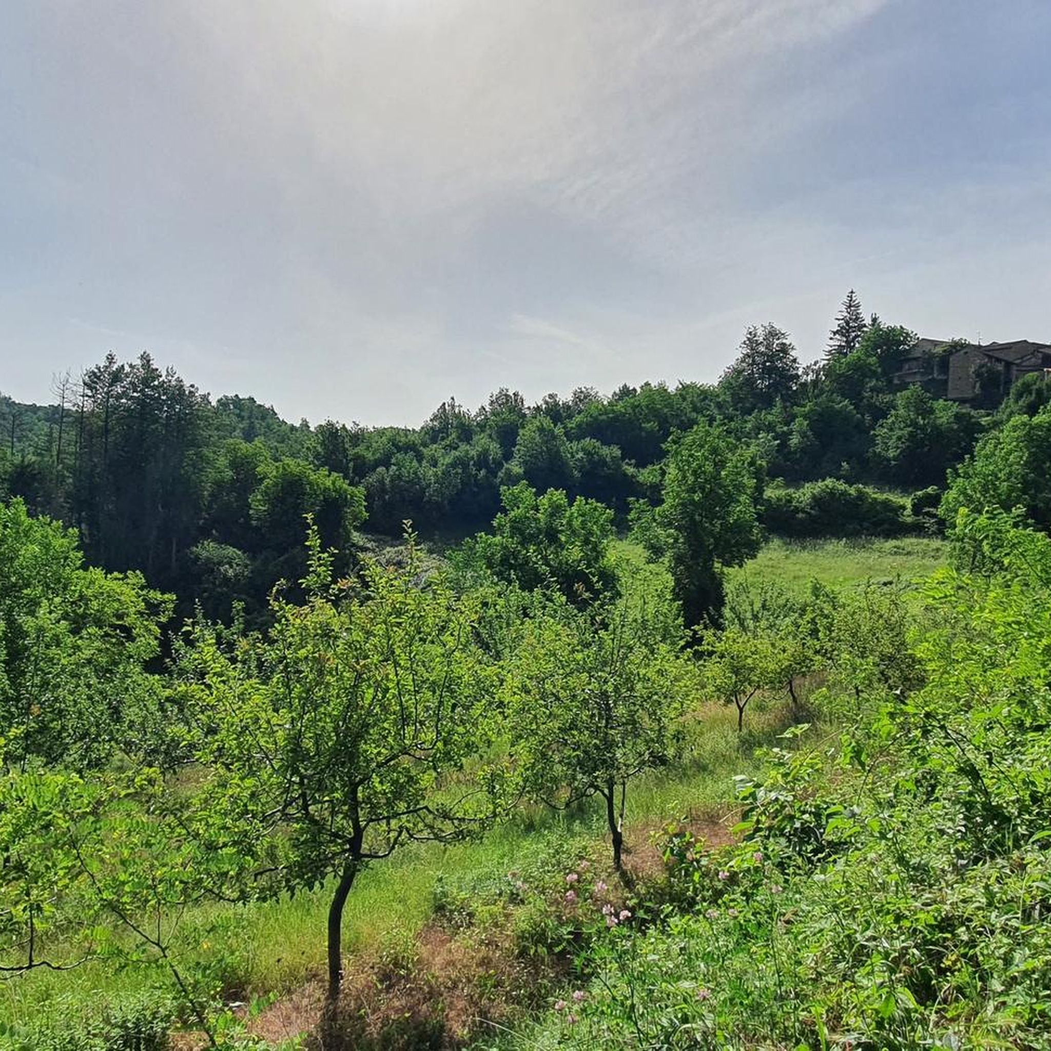
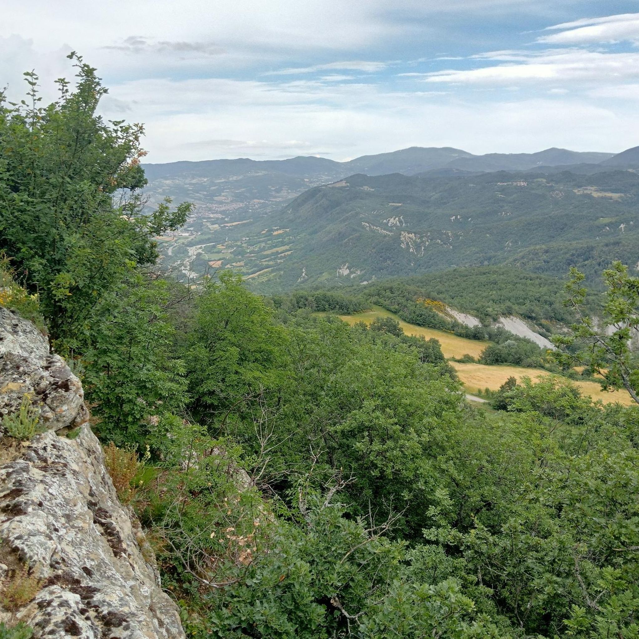
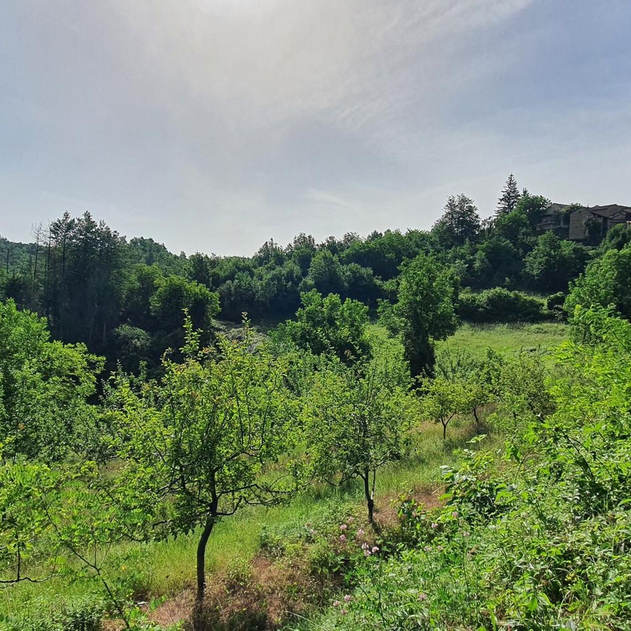
Jogging routes around Gremiasco traverse a landscape characterized by hilly and mountainous terrain, situated within the Apennine foothills. The region offers diverse elevation changes, from gentle slopes to more challenging ascents, providing varied experiences for runners. The Curone stream flows through the municipality, potentially offering flatter riverside paths. A network of trails around Monte San Vito provides off-road jogging opportunities with varied surfaces.
Best jogging routes around Gremiasco
- The most popular jogging route is Monte Bagnolo – Monte Garavè loop…
Last updated: July 1, 2026
28
runners
38.1km
05:34
1,670m
1,670m
Hard run. Very good fitness required. Sure-footedness, sturdy shoes and alpine experience required.
14
runners
14.4km
01:30
120m
120m
Moderate run. Good fitness required. Mostly paved surfaces. Suitable for all skill levels.

Sign up for free
10
runners
7.17km
00:45
70m
70m
Moderate run. Good fitness required. Mostly paved surfaces. Suitable for all skill levels.
7
runners
6.43km
00:40
60m
60m
Moderate run. Good fitness required. Mostly paved surfaces. Suitable for all skill levels.
13
runners
21.1km
03:12
1,080m
1,080m
Hard run. Very good fitness required. Sure-footedness, sturdy shoes and alpine experience required.
Get access to more routes and recommendations from other explorers.
Sign up for free
Already have an account?
Our route recommendations are based on thousands of hikes, rides, and runs completed by other people on komoot.
Start today with a free account
Your next adventure awaits.
Login or Signup

Tips from the Community

The Parish Church of San Germano Vescovo is the main church of Varzi and one of the most important religious monuments in the Oltrepò Pavese. It is located in the heart of the medieval village, in Largo Paolo Savini.
12
1
The farmhouses among the rice paddies are one of the most characteristic elements of the agricultural landscape of the Po Valley, particularly between Piedmont and Lombardy.
12
0
The Enrico Pessina Railway Museum in Voghera, located at the truck stop, preserves the memory of the historic Voghera-Varzi railway (1931-1966). The museum exhibits artifacts, images, and documents of the rural line that connected the Staffora Valley, often in collaboration with the former station ticket office.
16
0
After these last two km the cycle path ends.
17
0

Here is the information about Salami di Varzi: https://www.italybite.it/de/blog/post/Die-Salame-di-Varzi-eine-klassische-Wurst-aus-der-Lombardi.html
9
0
Varzi salami needs no introduction.
15
0

Although renovated in the 15th century, the building still retains architectural elements that reveal its medieval origins. The façade features a portal preceded by a Renaissance portico. Inside are the remains of the martyred saint, patron saint of the picturesque village, once an independent municipality, now a hamlet of Ponte Nizza.
0
0

Frequently Asked Questions
How many running routes are available around Gremiasco?
Gremiasco offers a diverse selection of over 35 running routes. These trails cater to various preferences, from moderate paths to more challenging ascents, allowing runners to explore the region's beautiful landscapes.
What kind of terrain can I expect on jogging routes in Gremiasco?
The jogging routes around Gremiasco are characterized by hilly and mountainous terrain, nestled within the Apennine foothills. You'll find diverse elevation changes, from gentle slopes along the Curone stream to more challenging ascents around peaks like Monte San Vito. The area boasts a 'labyrinth of trails' offering varied surfaces for off-road running.
Are there running routes suitable for beginners in Gremiasco?
While Gremiasco's terrain is generally hilly, there are several moderate running routes available. For example, the Running loop from Ponte Nizza is a moderate 3.9-mile (6.3 km) trail that can be completed in under an hour, offering a good option for those looking for a less strenuous run.
What are some notable natural features or landmarks I might see while running in Gremiasco?
Many running routes offer scenic views and pass by interesting landmarks. You might encounter the Statue of Christ the Redeemer on Monte Giarolo, enjoy views from the Monte San Vito Summit, or explore the unique Guardamonte Rock Outcrops. The region's natural beauty, including the Curone stream and various peaks, provides a picturesque backdrop for your run.
Are there any long-distance running routes for experienced runners?
Yes, Gremiasco offers several challenging long-distance routes. For instance, the Monte Boglelio loop from Varzi is a difficult 14.7-mile (23.6 km) trail with significant elevation gain, ideal for experienced runners seeking a substantial challenge. Another option is the Monte San Vito Summit – View of Garbagna loop from Garbagna, which spans over 22 miles (35 km).
What do other runners say about the trails in Gremiasco?
The running routes in Gremiasco are highly rated by the komoot community, with an average score of 4.5 stars from over 4 reviews. More than 360 runners have used komoot to explore the varied terrain, often praising the challenging ascents and the beautiful, diverse landscapes of the Apennine foothills.
Are there any circular running routes in the area?
Yes, many of the running routes in Gremiasco are circular, offering convenient starting and ending points. A popular example is the Monte Bagnolo – Monte Garavè loop from Forotondo, a 9.7-mile (15.7 km) trail that provides a complete loop through the hilly landscape.
Can I find routes that offer good viewpoints?
Absolutely. Given the hilly and mountainous nature of the region, many routes provide excellent viewpoints. Trails leading towards or around prominent peaks like Monte Giarolo and Monte San Vito are particularly known for offering rewarding panoramic views of the surrounding Piedmont landscape.
Is public transport available to access the running routes around Gremiasco?
While Gremiasco is a smaller municipality, public transport options might be limited directly to all trailheads. It's advisable to check local bus schedules for connections from larger towns in the Province of Alessandria to Gremiasco or nearby villages, which may then require a short walk or taxi to reach specific starting points. Planning ahead is recommended.
Are there any historical or religious sites accessible via running trails?
Yes, the region offers a blend of natural beauty and cultural interest. The Hermitage of St. Albert of Butrio, a religious site in the nearby Staffora Valley, is accessible via trails and can add a unique cultural dimension to your running excursion.
What is the best season for running in Gremiasco?
Gremiasco's varied terrain makes it suitable for running across multiple seasons. Spring and autumn offer pleasant temperatures and vibrant scenery, with lush greenery or colorful foliage. Summer can be warm, so early morning or late afternoon runs are ideal. Winter running is possible, especially on lower elevation trails, but higher routes might require checking weather conditions for snow or ice.
Are the running trails around Monte San Vito well-marked?
The area around Monte San Vito is known for its 'labyrinth of trails,' which are suitable for both bikers and walkers. While many are well-established, it's always recommended to use a reliable navigation tool like komoot to ensure you stay on your intended path, especially when exploring the more intricate network of off-road trails.
Most popular attractions around Gremiasco

Get inspired with the komoot mobile app


Explore more
Browse the best Running Trails & Routes in other regions.
