The best road cycling routes around Piana Crixia
4.7
(181)
2,646
riders
14
rides
Road cycling routes around Piana Crixia traverse a landscape where Liguria meets Piedmont, characterized by a blend of gentle cultivated hills and rugged geological formations. The region features green woodlands, open plains, and unique badlands known as "calanchi," formed by erosion. This varied terrain provides diverse experiences for road cyclists, with well-paved surfaces suitable for different fitness levels.
Best road cycling routes around Piana Crixia
- The most popular road cycling route is Piana Crixia and Dego Loop, a 23.8…
Last updated: October 10, 2026
21
riders
38.3km
02:08
840m
840m
Moderate road ride. Good fitness required. Mostly well-paved surfaces and easy to ride.
5.0
(1)
13
riders
39.0km
02:10
810m
810m
Moderate road ride. Good fitness required. Mostly well-paved surfaces and easy to ride.

5.0
(1)
12
riders
21.7km
01:08
410m
410m
Moderate road ride. Good fitness required. Mostly well-paved surfaces and easy to ride.
6
riders
92.0km
04:45
1,550m
1,550m
Hard road ride. Very good fitness required. Mostly well-paved surfaces and easy to ride.
2
riders
44.6km
02:38
860m
860m
Moderate road ride. Good fitness required. Some segments of this route may be unpaved and difficult to ride.
Get access to more routes and recommendations from other explorers.
Already have an account?
Our route recommendations are based on thousands of hikes, rides, and runs completed by other people on komoot.
Start today with a free account
Your next adventure awaits.
Tips from the Community

Small municipality that takes its name from the river of the same name, it is dominated by Mount Settepani (1386 m),
21
0
Located in the Ligurian Apennines, Altare is a medieval village, always famous for its glassmaking.
19
0
Common location in the upper Bermuda Valley.
17
0

Serole is an Italian municipality of 97 inhabitants[1] in the province of Asti in Piedmont. It is located in the Langhe on the watershed between Bormida di Spigno and Bormida di Millesimo near the Rio Rigosio. It is the southernmost municipality in the province of Asti.
0
0

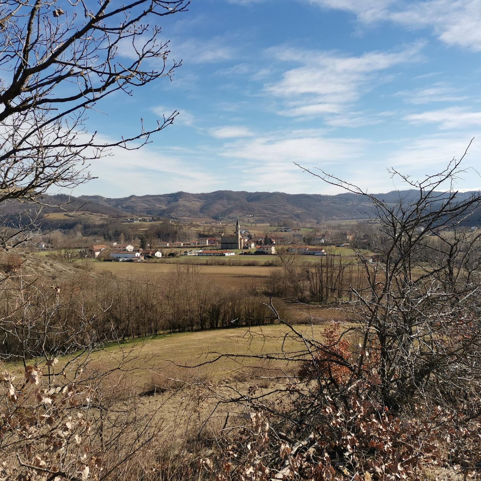
This isolated village on the watershed that divides the Uzzone valley from the Bormida di Spigno valley is very suggestive, both for the imposing remains of two buildings, unfortunately in ruins, which were probably fortified farmhouses, and for the beautiful church, dedicated to the memory of the blessed Teresa, fallen during the world war. Also for the panorama that can be enjoyed from the village, the place is worth a stop. From S. Giulia a road begins that descends to Castelletto Uzzone, through a splendid countryside. Continuing straight, instead, you arrive at the SS 29 that from Piana Crixia arrives at Cortemilia, another beautiful panoramic road.
0
0
Cairo Montenotte is located almost at the head of the Bormida Valley, the starting point for reaching Lake Osiglia, the Melogno hill and, continuing towards Savona, the Cadibona hill. It is a beautiful town with a well-preserved historic center, dominated by a castle. By bike, if you continue towards Savona, it is advisable to cross the city center, to avoid getting stuck in the tunnel of the main road.
0
0

Small village immersed in the meadows of the Langhe!
0
0
Very cycleable road, you pass through very green woods.
18
0
Frequently Asked Questions
How many road cycling routes are available in Piana Crixia?
There are 14 road cycling routes around Piana Crixia, offering a variety of experiences for different skill levels. These include 10 moderate routes and 4 more challenging options.
What kind of terrain can I expect on road cycling routes in Piana Crixia?
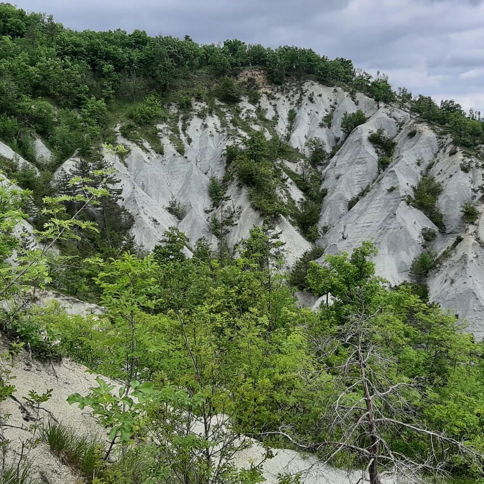
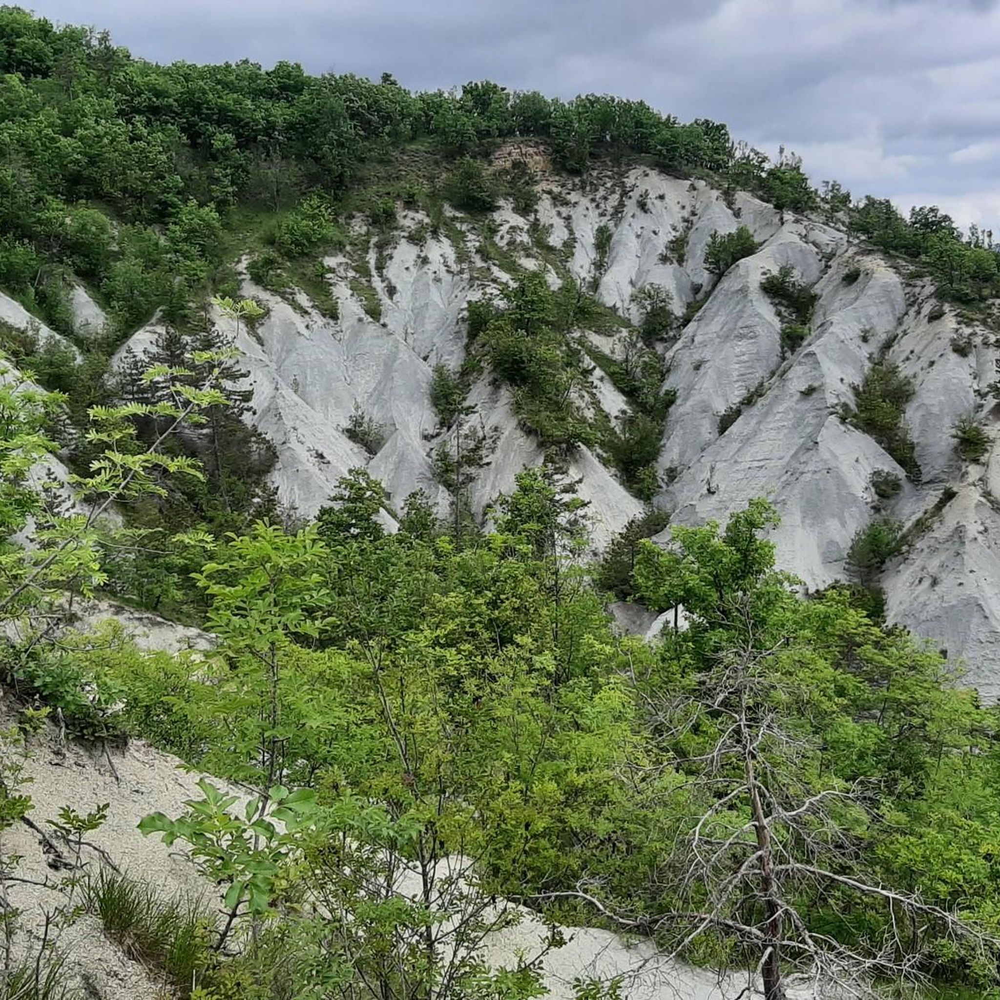
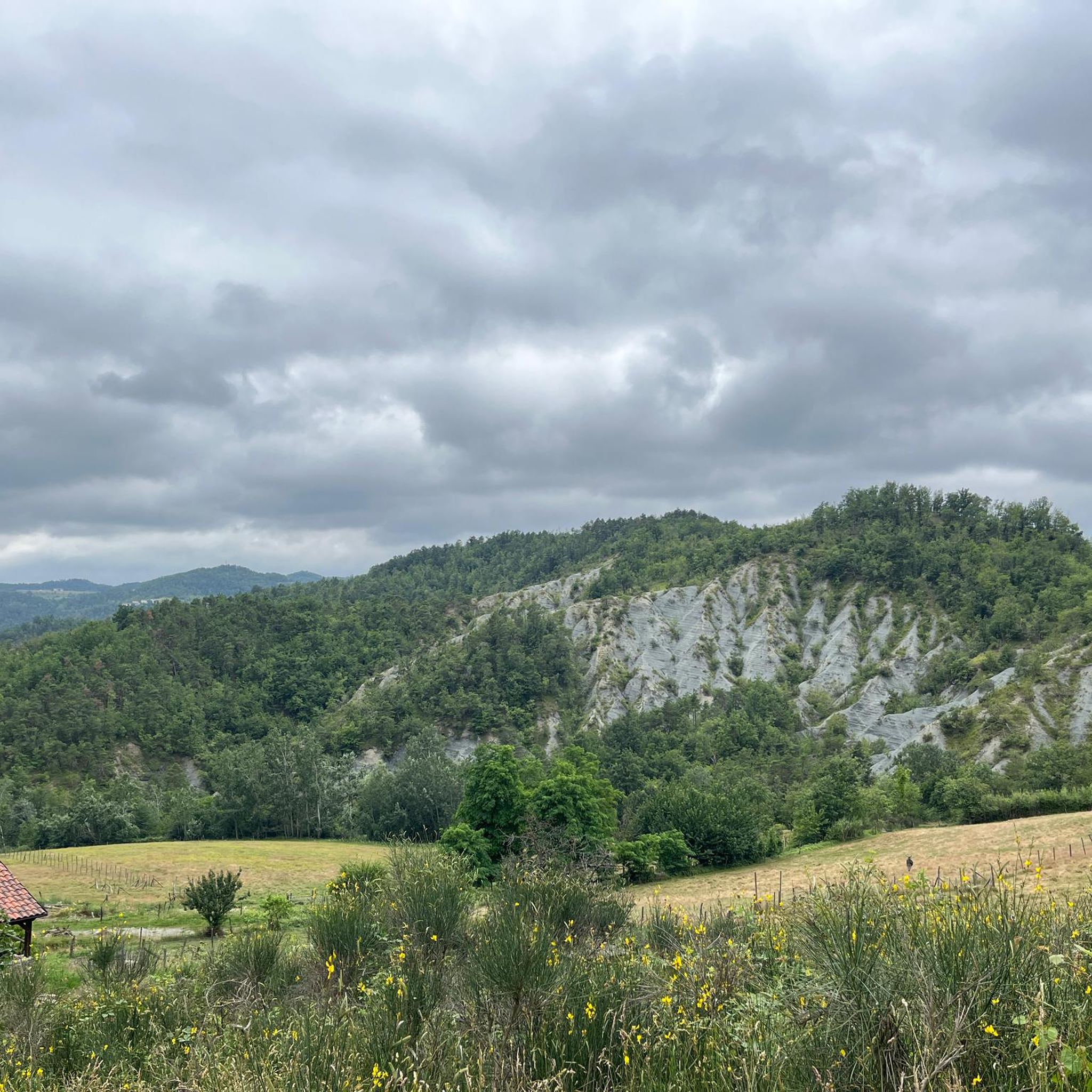
Road cycling routes in Piana Crixia traverse a diverse landscape where Liguria meets Piedmont. You'll encounter a blend of gentle cultivated hills, green woodlands, and open plains, interspersed with more rugged geological formations. A unique feature is the 'calanchi' or gullies, which create a visually striking, lunar-like terrain formed by erosion.
What is the best time of year for road cycling in Piana Crixia?
The region is particularly beautiful in spring when thousands of wild orchids blossom. June offers the vibrant purple of lavender fields, making these seasons ideal for scenic road cycling. The well-paved surfaces are generally suitable throughout the warmer months.
Are there routes suitable for beginners or less experienced road cyclists?
Yes, Piana Crixia offers several moderate road cycling routes that are suitable for less experienced riders. For example, the From Piana Crixia to Dego – loop tour is a moderate 21.7 km (13.5 miles) ride through cultivated hills and woodlands, often completed in about 1 hour 8 minutes.
Are there challenging road cycling routes for experienced riders?
Absolutely. For experienced cyclists seeking a challenge, Piana Crixia features 4 difficult routes. A notable option is the Cairo Montenotte and Bormida Valley Loop, a more demanding 92 km (57.1 miles) route with 1,550 meters (5079 feet) of climbing, offering extensive rural Italian scenery.
What natural attractions can I see while road cycling in Piana Crixia?
The region is home to unique natural wonders. You can explore the iconic Stone Mushroom (Fungo di Pietra), a 15-meter-high boulder balanced on a rock column, and the dramatic 'calanchi' or gullies, which create a lunar-like landscape. The Crest Trail within the Piana Crixia Regional Nature Park also offers panoramic views of the gullied terrain.
Are there any interesting villages or landmarks to explore along the routes?
Yes, the routes often pass through charming villages and near historical landmarks. You might cycle near Cortemilia or the Santuario del Todocco. The Santuario del Todocco e Santa Giulia da Piana Crixia – loop tour specifically highlights one of these religious buildings.
What do other road cyclists say about the routes in Piana Crixia?
The road cycling routes in Piana Crixia are highly rated by the komoot community, with an average score of 4.5 stars from over 50 reviews. More than 1,000 road cyclists have used komoot to explore the varied terrain, often praising the blend of green woodlands, charming villages, and unique geological features.
Are there circular road cycling routes available in Piana Crixia?
Many of the road cycling routes in Piana Crixia are designed as loops, allowing you to start and end in the same location. Examples include the Piana Crixia and Dego Loop and the From Piana Crixia to Pareto and Spigno Monferrato – loop tour.
Can I rent road bikes or e-bikes in the Piana Crixia area?
While Piana Crixia itself is a smaller locality, e-bike and mountain bike rentals, along with organized cycling tours, are available in nearby Acqui Terme. It's advisable to check with local providers in advance for road bike specific rentals.
What are the typical distances and elevation gains for road cycling routes here?
The routes vary significantly. Moderate loops like the Piana Crixia and Dego Loop cover about 38 km (23.8 miles) with around 840 meters (2744 feet) of elevation gain. More challenging routes, such as the Cairo Montenotte and Bormida Valley Loop, can extend to 92 km (57.1 miles) with over 1,500 meters (5079 feet) of climbing.
Most popular attractions around Piana Crixia

Get inspired with the komoot mobile app


Explore more
Browse the best Road cycling routes in other regions.
