The best walks and hikes around Occimiano
4.6
(431)
1,352
hikers
225
hikes
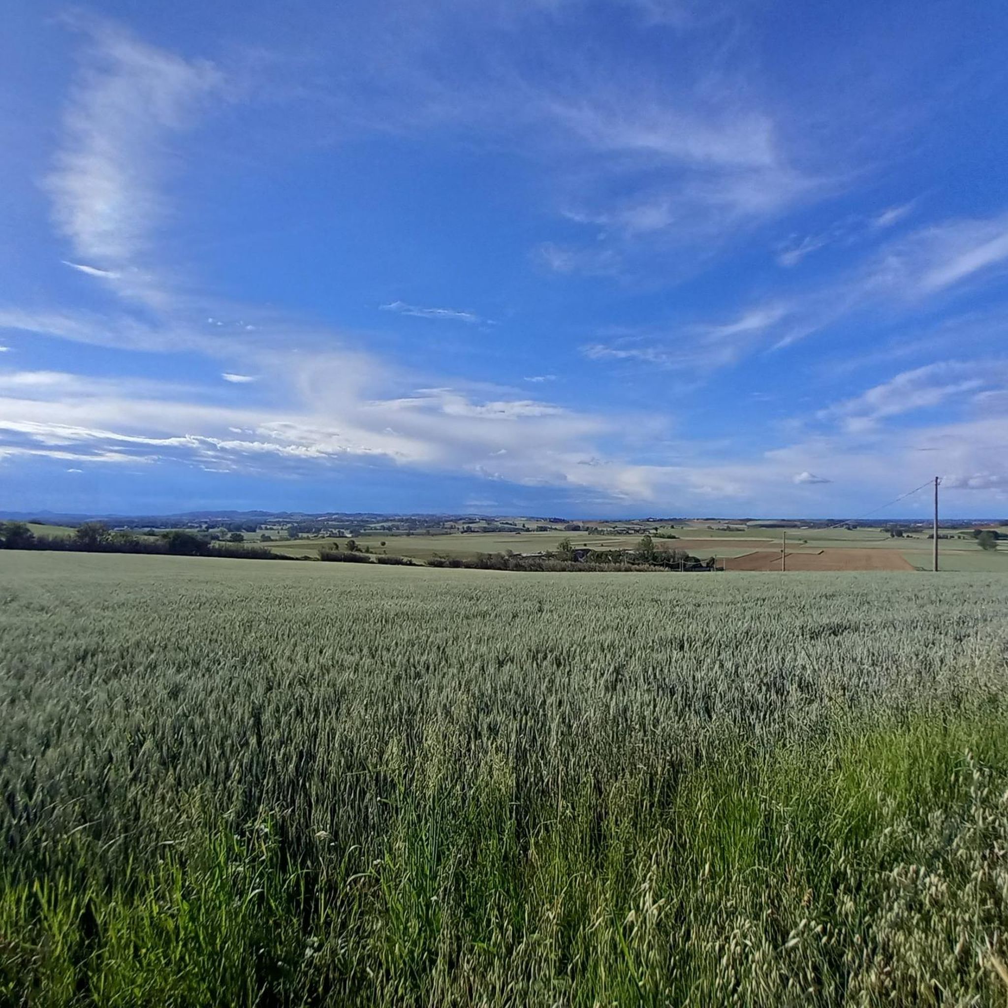
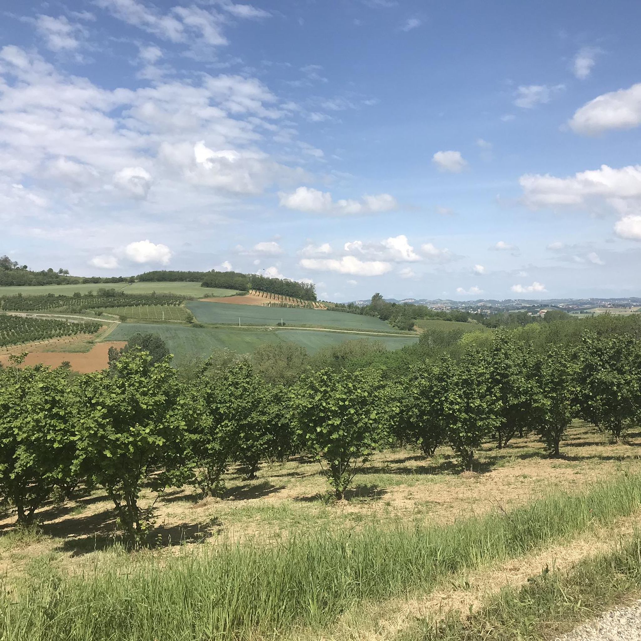
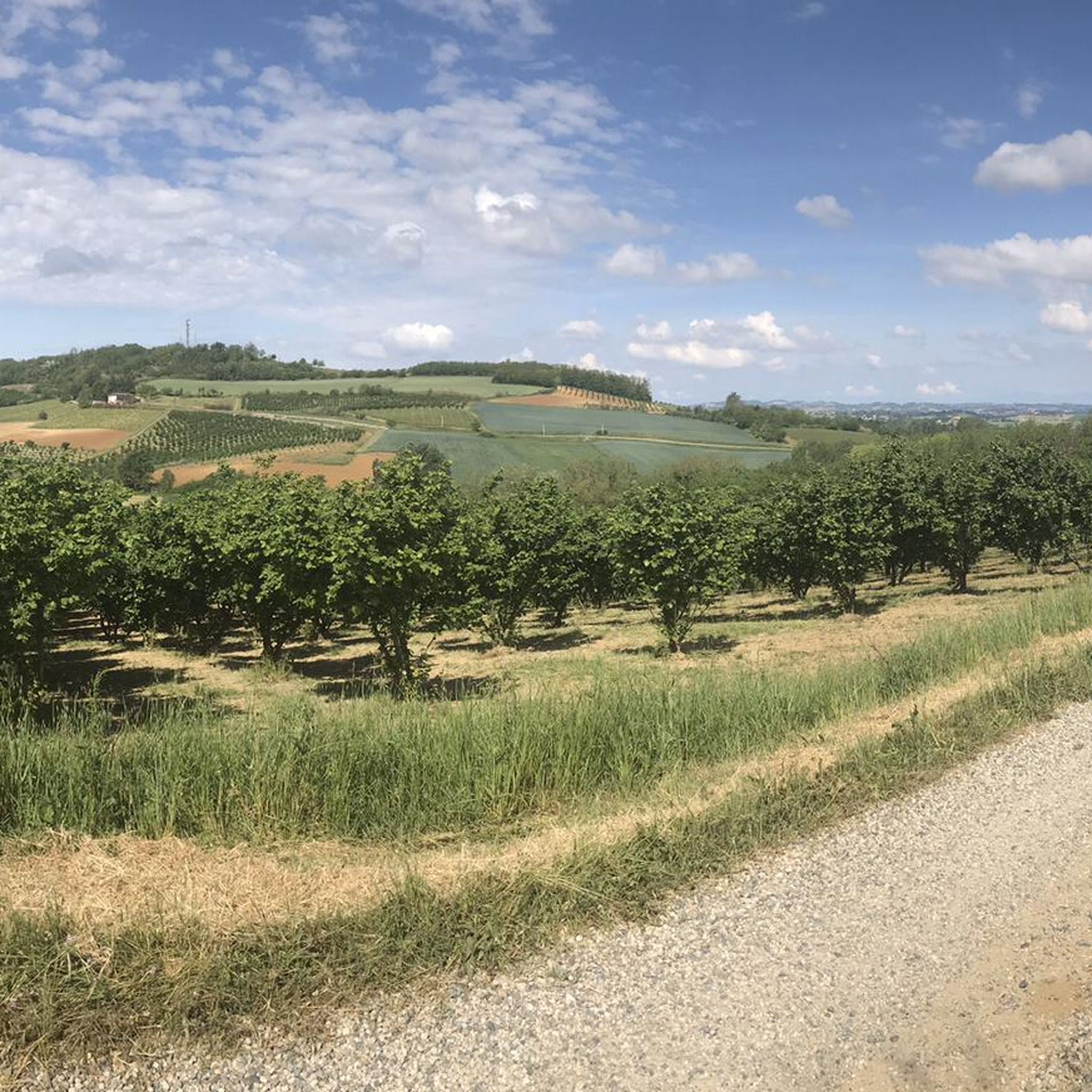
Hiking around Occimiano provides access to the rolling Monferrato hills, a landscape defined by extensive vineyards and agricultural lands. The region offers diverse terrain, from gentle paths through cultivated areas to routes with varied inclines. Many trails provide panoramic views of the countryside, and some lead to historical sites.
Best hiking trails around Occimiano
- The most popular hiking route is Terruggia countryside loop (via Trail 736), a 5.9 miles (9.6 km) trail that takes 2 hours 40 minutes to…
Last updated: July 1, 2026
5.0
(2)
10
hikers
9.57km
02:41
190m
190m
Moderate hike. Good fitness required. Easily-accessible paths. Suitable for all skill levels.
3.71km
01:06
110m
110m
Easy hike. Great for any fitness level. Easily-accessible paths. Suitable for all skill levels.

Sign up for free
23.9km
06:04
70m
70m
Hard hike. Very good fitness required. Easily-accessible paths. Suitable for all skill levels.
7.35km
01:52
20m
20m
Easy hike. Great for any fitness level. Easily-accessible paths. Suitable for all skill levels.
5
hikers
14.3km
04:07
350m
350m
Moderate hike. Good fitness required. Easily-accessible paths. Suitable for all skill levels.
Get access to more routes and recommendations from other explorers.
Sign up for free
Already have an account?
Our route recommendations are based on thousands of hikes, rides, and runs completed by other people on komoot.
Start today with a free account
Your next adventure awaits.
Login or Signup

Tips from the Community

The Infernot are small underground architectural structures, dug by hand into the Pietra da Cantoni, a particular geological formation typical of the Lower Monferrato area.
0
0

it's called "Rosignano" Monferrato... Rossiglione is in the Ovada area
0
0

Ancient parish church renovated and unfortunately closed, but very beautiful to look at as it appears unexpectedly in the middle of fields and farmhouses, it is not close to inhabited centers and can be reached by walking along beautiful paths among the Monferrato hills.
0
0

* Visits: during the week by reservation Saturday and Sunday by the Tourist Info Point (reservation recommended) * Information and booking: 377 169 3394 (Tourist Info Point), 0142 489 009 (Municipal Offices), info@comune.rosignanomonferrato.al.it. https://www.comune.rosignanomonferrato.al.it/it-it/vivere-il-comune/cosa-vedere/gli-infernot-patrimonio-unesco-a-rosignano-monferrato-44968-1-d7f41d0a22ba7e5f89d252866dfc36ec
0
0
* Visits: weekdays by reservation Saturdays and Sundays by the Tourist Info Point (reservations recommended) * Information and reservations: 377 169 3394 (Tourist Info Point), 0142 489 009 (Municipal Offices), info@comune.rosignanomonferrato.al.it. https://www.comune.rosignanomonferrato.al.it/it-it/vivere-il-comune/cosa-vedere/gli-infernot-patrimonio-unesco-a-rosignano-monferrato-44968-1-d7f41d0a22ba7e5f89d252866dfc36ec
0
0

An imposing tuff wall: Piazza Enrico Faletti was created from a former quarry, later abandoned.
2
0

Municipality in the heart of Casalese Monferrato, famous for the production of Grignolino red wine
0
0

Excellent viewpoint a few steps from Rossiglione Monferrato.
1
0
Frequently Asked Questions
How many hiking trails are available around Occimiano?
There are over 190 hiking routes in the Occimiano area, offering a wide range of options for all skill levels. These include 55 easy trails, 131 moderate routes, and 8 more challenging hikes.
What kind of terrain can I expect on hikes near Occimiano?
Hikes around Occimiano primarily feature the gentle, rolling Monferrato hills, characterized by extensive vineyards and farmland. While generally hilly, the terrain is diverse, with some paths being easily accessible and others requiring good fitness due to varied inclines and surfaces. Many routes offer panoramic countryside views.
Are there many circular hiking routes in the Occimiano area?
Yes, the region offers several excellent circular routes. Examples include the Terruggia countryside loop, which showcases vineyards, and the Conzano Hills Loop (Trail 735), winding through gentle hills with widespread views. Another option is the Rosignano Monferrato – Big Bench #41 Rosso Grignolino loop.
What are the typical distances and durations for hikes around Occimiano?
Hikes in Occimiano vary significantly in length and duration. Shorter, easier routes like the Conzano Hills Loop are about 3.7 km (2.3 miles) and take under 2 hours. Moderate trails, such as the Terruggia countryside loop, are around 9.6 km (5.9 miles) and can take 2-3 hours. Longer, more challenging routes can extend up to 23 km (14 miles) or more.
What historical sites or landmarks can I see while hiking near Occimiano?
Many trails offer glimpses of the region's rich history. For instance, the Trail to the Pieve di San Giovanni in Mediliano leads to an ancient church. You can also explore charming villages like Conzano with its historic streets, or encounter unique attractions like the Big Bench of Cuccaro Monferrato. The area is also home to several castles, such as Castello di Pomaro.
Are there any viewpoints or scenic spots along the hiking trails?
Absolutely. The rolling Monferrato hills provide numerous opportunities for panoramic views. Many paths wind through vineyards and offer expansive vistas of the countryside. The Vineyard Landscapes of Langhe, Monferrato and Roero are a prime example of the scenic beauty you can expect.
What do other hikers enjoy most about hiking in Occimiano?
The area is highly rated by the komoot community, with an average score of 4.5 stars from over 350 reviews. Hikers often praise the picturesque landscapes, the tranquility of the vineyards, and the diverse terrain that caters to various fitness levels. The blend of natural beauty with historical and cultural points of interest is also frequently highlighted.
Is Occimiano a good destination for family-friendly hikes?
Yes, Occimiano offers several easy and accessible paths suitable for families. The gentle rolling hills and well-maintained trails make it a pleasant environment for children. Many routes pass through charming villages and offer interesting sights without being overly strenuous.
Are there any dog-friendly trails around Occimiano?
Most trails in the Occimiano area are generally dog-friendly, allowing you to enjoy the beautiful Monferrato countryside with your canine companion. However, it's always advisable to keep dogs on a leash, especially when passing through agricultural areas or near livestock, and to carry water for them.
What is the best time of year to go hiking in Occimiano?
The spring and autumn months are generally ideal for hiking in Occimiano. During these seasons, the weather is pleasant, and the vineyards offer stunning colors – vibrant green in spring and golden hues in autumn. Summer can be warm, so early morning or late afternoon hikes are recommended, while winter offers a different, often quieter, charm.
Are there options for public transport to access hiking trails in Occimiano?
While Occimiano is well-suited for exploration by car, local bus services connect the town with nearby communities. For specific trailheads, checking local bus schedules in advance is recommended, as direct access to all starting points via public transport might be limited. Parking is generally available in and around the villages.
Can I find cafes or places to eat along the hiking routes?
Many hiking loops in Occimiano connect through charming villages like Terruggia and Conzano. These villages often have local cafes, trattorias, or small shops where you can stop for refreshments or a meal, allowing you to experience local hospitality and cuisine during your hike.
Most popular routes around Occimiano
Most popular attractions around Occimiano

Get inspired with the komoot mobile app


Explore more
Browse the best Hikes in other regions.
