The best walks and hikes around Lerma
4.4
(1300)
4,959
hikers
238
hikes
Hiking around Lerma offers trails through the varied terrain of the Piedmont region in Italy, characterized by rolling hills, vineyards, and agricultural landscapes. The area features a network of paths connecting small towns and historical sites. Hikers can expect routes with moderate elevation changes, often passing through wooded areas and open countryside. The region's natural features provide a diverse backdrop for outdoor activities.
Best hiking trails around Lerma
- The most popular hiking route is Torre dell'Albarola from Casaleggio Boiro, a 4.1 miles (6.6 km) trail that takes 1 hour 45 minutes to complete. This easy route features gentle ascents and views of the surrounding countryside.
- Another top favourite among local hikers is From Lerma to Tagliolo Monferrato (via CAI Trail 425), a moderate 6.2 miles (10.0 km) path. This trail connects two towns, offering a mix of wooded sections and open views.
- Local hikers also love the From Cascina Cirimilla to Santuario Santa Maria Domenica Mazzarello (via Trail 431), a 8.6 miles (13.9 km) trail leading through rural landscapes, often completed in about 4 hours 13 minutes.
- Hiking around Lerma is defined by rolling hills, agricultural land, and connecting trails between villages. The network offers options for different ability levels, from easy walks to more challenging routes.
- The routes in Lerma are highly rated by the komoot community with an average score of 4.5 stars from more than 1000 reviews. More than 4000 hikers have used komoot to explore Lerma's varied terrain.
Last updated: October 10, 2026
3.5
(2)
4
hikers
6.58km
01:46
70m
70m
Discover the most popular hiking route in the Monferrato region with the Torre dell'Albarola from Casaleggio Boiro trail. This easy hike spans 4.1 miles (6.6 km) with a gentle elevation gain of 246 feet (75 metres), making it suitable for all fitness levels. As you hike, you will enjoy panoramic views stretching across the Piota Valley, the Apennine range, and down towards the Po Valley, all while passing through picturesque Monferrato vineyards.
Planning your visit is straightforward, as the trail is easily accessible and typically takes about 1 hour and 45 minutes to complete. The paths are well-maintained and simple to navigate, ensuring a pleasant experience. This route is ideal for a relaxed outing, offering a chance to immerse yourself in the natural beauty of the Alessandria province.
The highlight of this route is the ancient Torre dell'Albarola, a historic sighting tower. Around the year 1000, it served as a crucial part of a defensive system, possibly using bonfires to warn against Saracen incursions. Later, it is believed to have functioned as a bell tower for Santa Maria in Prelio. Its strategic location on a hill provides the exceptional panoramic views that make this hike particularly memorable.
1
hikers
9.96km
02:59
310m
310m
Embark on a moderate hike from Lerma to Tagliolo Monferrato, following CAI Trail 425 through the gentle hills of Piemonte. This route covers 6.2 miles (10.0 km) with an elevation gain of 1014 feet (309 metres), taking approximately 2 hours and 58 minutes to complete. You will experience a blend of quiet forest paths and open country roads, offering views of the region's characteristic vineyards and farmland. Look for the unique Stone House in the Woods, a distinctive landmark along the way.
To begin your adventure, head to the starting point near the bridge over the Piota stream in Lerma. The trail is well-marked with red and white CAI signs, making navigation straightforward. Public transport is an option, as you can reach the trailhead by bus, which adds to the accessibility of this route. Consider starting in the morning to enjoy the cooler temperatures and the best light for photography as you traverse the varied terrain.
This trail offers a pleasant introduction to the Monferrato region, connecting two historic villages while showcasing local culture and natural beauty. You will pass by the peaceful Santuario di Nostra Signora delle Grazie della Rocchetta, a site that reflects the area's spiritual heritage. The route's mix of cultural points and natural scenery provides a comprehensive experience of this corner of Piemonte.

13.9km
04:13
450m
450m
Hike 8.6 miles (13.9 km) on Trail 431 through Piedmont's rolling hills to the Santuario Santa Maria Domenica Mazzarello, gaining 1482 feet.
1
hikers
12.4km
03:35
320m
320m
Embark on a moderate hike from Lerma Castle to Silvano d'Orba, following Trail 430 through the picturesque Piedmont countryside. This route spans 7.7 miles (12.4 km) and involves a total elevation gain of 1040 feet (317 metres), offering a rewarding experience without being overly strenuous. You will spend approximately 3 hours and 35 minutes traversing varied terrain, from quiet country roads to traditional hiking paths, all while enjoying the serene atmosphere of rolling hills and farmland.
Planning your visit is straightforward, as the starting point at Borgo Castello di Lerma is easily accessible. You can reach the trailhead by bus, making it convenient for those relying on public transport. The trail is well-marked with red and white CAI flags, ensuring you stay on course as you explore. This area is also a strategic location for motorcycle and bike trips, indicating good road access and infrastructure, which benefits hikers as well.
This trail offers a unique blend of history and natural beauty, connecting several centuries-old churches that provide glimpses into the region's rich heritage. As you hike, you will encounter diverse landscapes characteristic of northern Italy, from charming villages to open fields. The route also connects with other trails in the regional network, giving you options for further exploration if you wish to extend your adventure.
1
hikers
4.38km
01:17
120m
120m
Countryside hike through Alto Monferrato to medieval Cistercian monastery ruins with centuries of history.
Get access to more routes and recommendations from other explorers.
Already have an account?
Our route recommendations are based on thousands of hikes, rides, and runs completed by other people on komoot.
Start today with a free account
Your next adventure awaits.
Tips from the Community

To the north of the town, on the borders between Lerma, Silvano and Castelletto d'Orba, remain the ruins of the Torre dell'Albarola. It was part of a defensive sighting system created against Saracen incursions around the year one thousand. His task was to record the signals coming from Mount Colma and, with bonfires lit on the summit, warn the nearby Gazzolo tower (S. Cristoforo), which would send the alarm to the plain. Whoever climbs the tower immediately realizes the reason for that location: from up there the view extends from the Piota valley to the entire Apennine range, and then further down towards the hills up to the Po Valley. Tradition has it that it later served as a bell tower for Santa Maria in Prelio, that is, for the parish church of Silvano d'Orba, as it is located on a hill to the east of it. Towards the end of the 17th century, the Abbey of San Filippo Neri was built near Albarola, from which the name of today's Abbazia farmhouse derives
0
0
The castle of Lerma dates back in its fundamental structures to the end of the 15th century when the construction was carried out by Luca Spinola. The imposing castle building stands on a tufaceous rock overlooking the Piota river and preserves the ancient "ricetto" intact within the city walls, the first nucleus of the village which took the name of l'Herma.
0
0

Anti-Saracenic sighting tower, it was part of the military defense set up by Berengario II, king of Italy, around 950. Exceptional panoramic point.
0
0

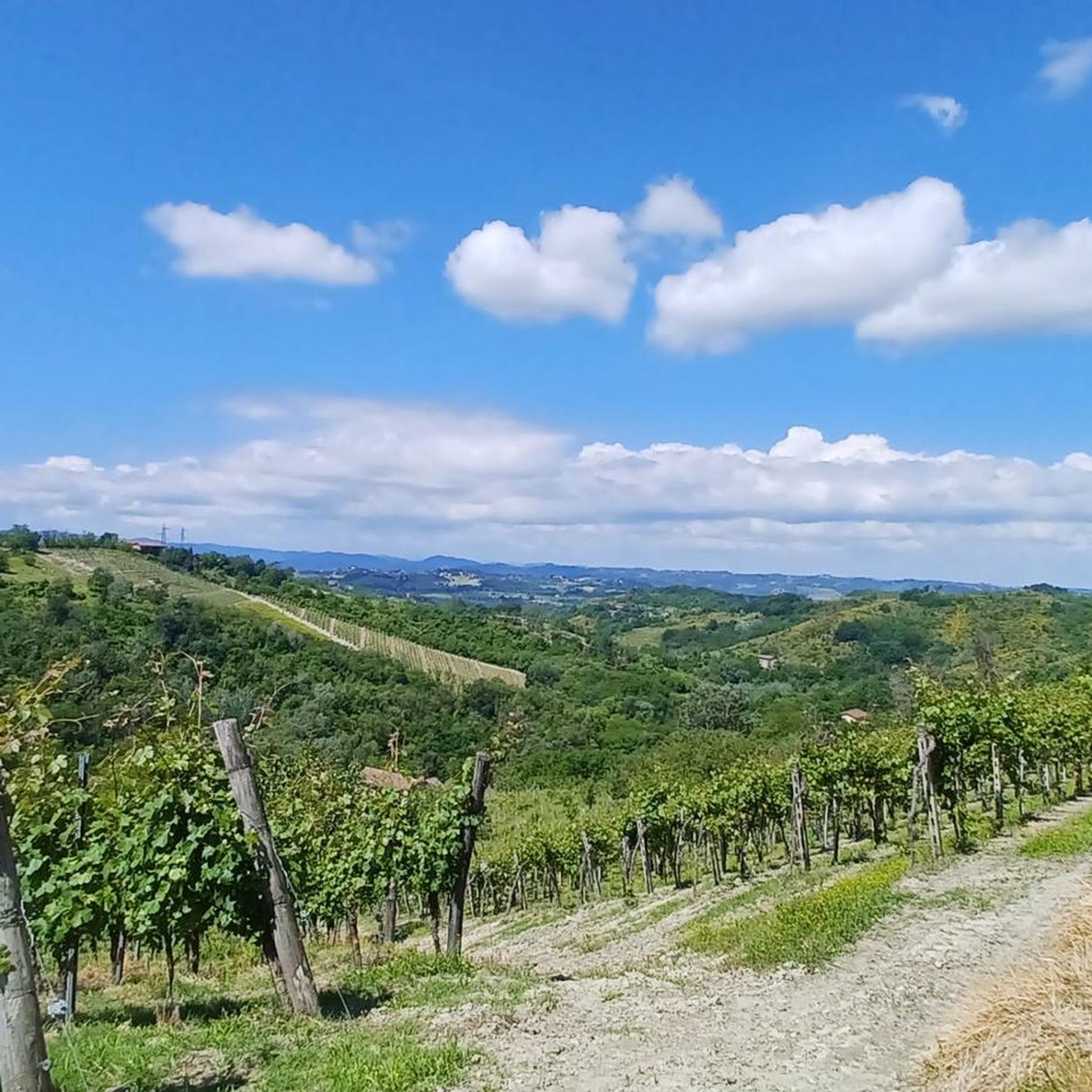
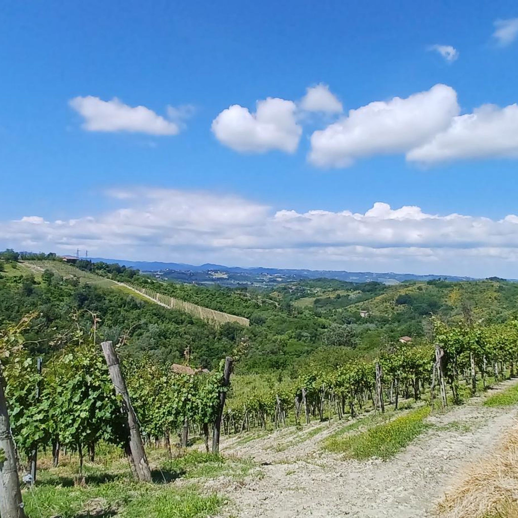
Panoramic point among the vineyards.
0
0

To the north of the town, on the border between Lerma, Silvano and Castelletto d’Orba, remain the ruins of the Torre dell’Albarola. It was part of a defensive sighting system created against Saracen raids around the year one thousand. His task was to pick up the signals coming from Mount Colma and, with bonfires lit on the top, to warn the nearby Gazzolo tower (s. Cristoforo), which would send the alarm to the plain. Those who climb the tower immediately realize the reason for that location: from up there the view sweeps from the Piota valley to the entire Apennine arc, and then down again towards the hills to the Po Valley. Tradition has it that, later, it served as a bell tower for Santa Maria in Prelio, that is, for the Pieve di Silvano d’Orba, as it is located on a hill to the east of it. Towards the end of the seventeenth century, the abbey of San Filippo Neri was built in Albarola, from which the name of today's Abbazia farmhouse derives
0
0

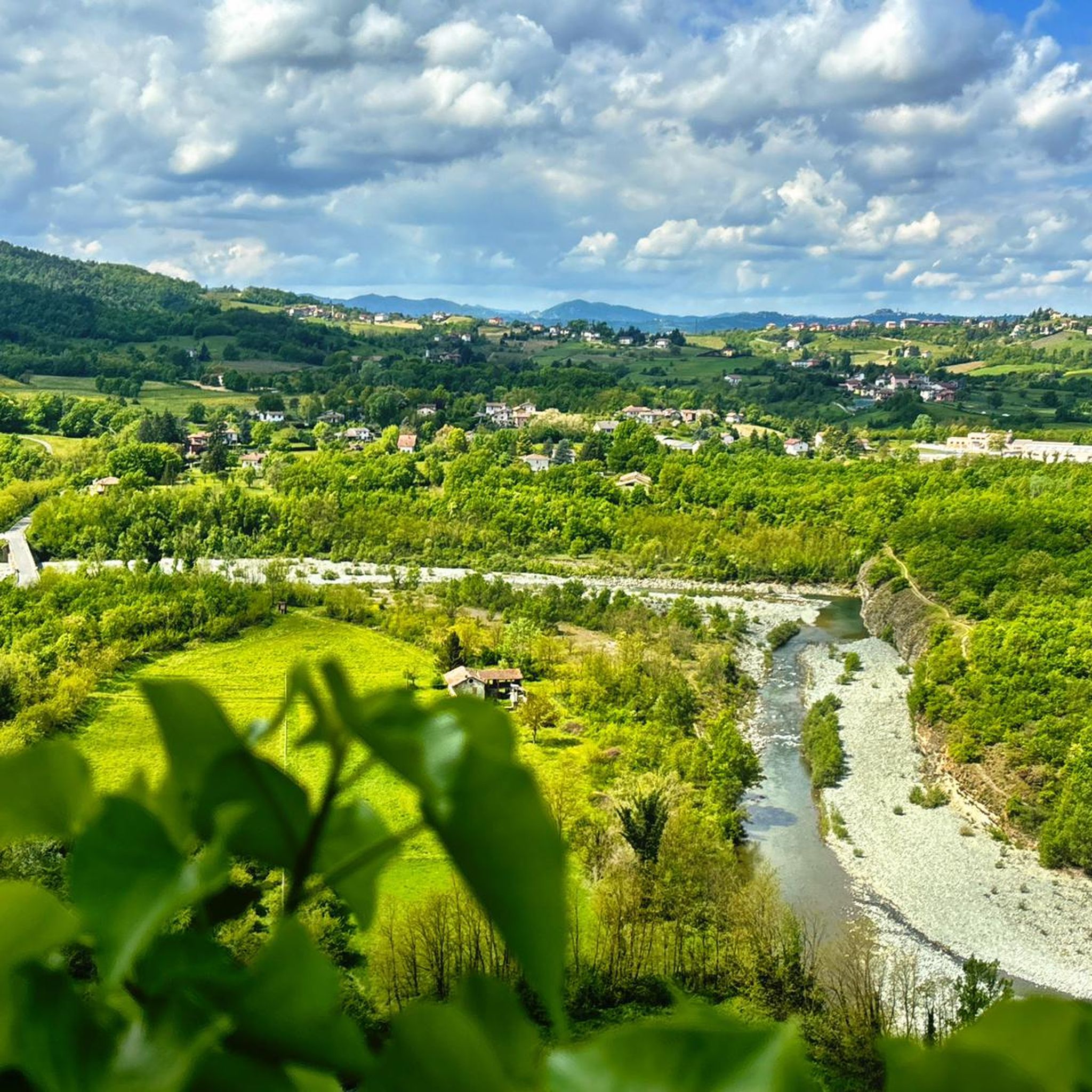
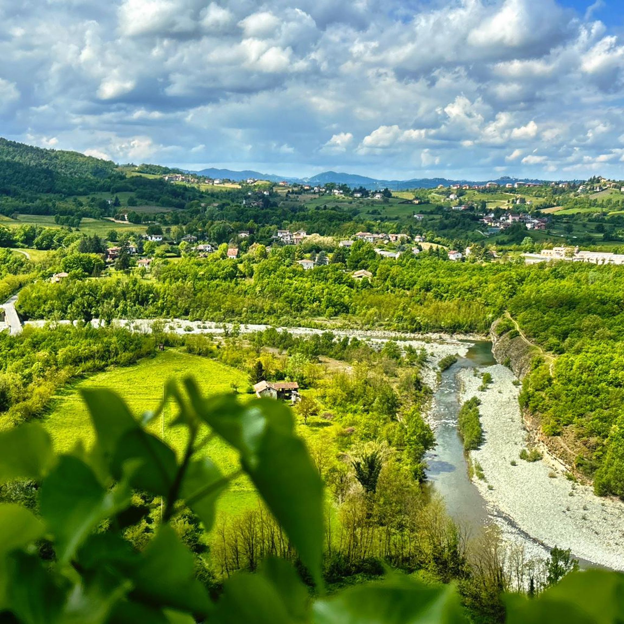
What a show!
0
0

To the north of the town, on the border between Lerma, Silvano and Castelletto d’Orba, remain the ruins of the Torre dell’Albarola. It was part of a defensive sighting system created against Saracen raids around the year one thousand. His task was to pick up the signals coming from Mount Colma and, with bonfires lit on the top, to warn the nearby Gazzolo tower (s. Cristoforo), which would send the alarm to the plain. Those who climb the tower immediately realize the reason for that location: from up there the view sweeps from the Piota valley to the entire Apennine arc, and then down again towards the hills to the Po Valley. Tradition has it that, later, it served as a bell tower for Santa Maria in Prelio, that is, for the Pieve di Silvano d’Orba, as it is located on a hill to the east of it. Towards the end of the seventeenth century the Abbey of San Filippo Neri was built in Albarola, hence the name of today's Abbazia farmhouse.
0
0
Frequently Asked Questions
How many hiking trails are available around Lerma?
There are over 220 hiking routes in the Lerma area, catering to various skill levels. You'll find a wide selection, from easy strolls to more challenging treks through the Piedmont region's diverse landscapes.
What kind of terrain can I expect on hikes around Lerma?
The hiking trails around Lerma are characterized by rolling hills, vineyards, and agricultural landscapes typical of the Piedmont region in Italy. You can expect moderate elevation changes, with paths often passing through wooded areas and open countryside, connecting small towns and historical sites.
Are there any easy hikes suitable for beginners or families?
Yes, Lerma offers 26 easy routes. A great option is Torre dell'Albarola from Casaleggio Boiro, which is 6.6 km long and features gentle ascents with views of the surrounding countryside, taking about 1 hour 45 minutes to complete.
What are some longer or more challenging routes in the area?
For those seeking a more challenging experience, there are 54 difficult routes. One such route is From Lerma to San Cristoforo (via Trail 320), which spans nearly 20 km and involves significant elevation changes, typically taking over 5 hours to complete.
Can I find routes that connect different towns or villages?
Yes, many trails in Lerma connect different towns, offering a great way to explore the region. For example, the moderate route From Lerma to Tagliolo Monferrato (via CAI Trail 425) is 10 km long and features a mix of wooded sections and open views between the two towns.
Are there any historical or religious sites accessible via hiking trails?
Yes, some trails lead to significant sites. The route From Cascina Cirimilla to Santuario Santa Maria Domenica Mazzarello (via Trail 431) is a moderate 13.9 km trail that takes you through rural landscapes to a notable sanctuary.
What kind of natural attractions can I see while hiking near Lerma?
The Lerma area offers beautiful natural attractions. You can explore various peaks like Summit of Monte Figne or Mount Tobbio. There are also several lakes, including Lago Bruno and Lower Lake of Lavagnina, and even a waterfall at Manzù Lake Waterfall.
What do other hikers say about the trails in Lerma?
The routes in Lerma are highly rated by the komoot community, with an average score of 4.5 stars from over 1000 reviews. Hikers often praise the varied terrain, the well-maintained paths, and the scenic views of the Piedmont countryside.
Are there any routes that start from Lerma Castle?
Yes, you can start a hike directly from Lerma Castle. A moderate option is From Lerma Castle to Silvano d'Orba (via Trail 430), which covers about 12.4 km and offers a journey through the local landscape.
What is the best time of year to go hiking in Lerma?
Given the region's characteristics of rolling hills and vineyards, spring and autumn are generally ideal for hiking in Lerma. The weather is typically mild, and the landscapes are particularly beautiful with blooming flowers or vibrant fall colors. Summer can also be pleasant, especially in the mornings or late afternoons, though it can get warm.
Are there many moderate difficulty trails around Lerma?
Yes, the majority of trails around Lerma are classified as moderate, with 140 such routes available. These trails offer a good balance of challenge and accessibility, often involving a few hours of hiking with some elevation changes, suitable for hikers with a reasonable level of fitness.
Most popular attractions around Lerma

Get inspired with the komoot mobile app


Explore more
Browse the best Hikes in other regions.
