The best walks and hikes around Vallanzengo
4.4
(2765)
15,282
hikers
619
hikes
Hiking around Vallanzengo offers diverse natural landscapes within Italy's Piedmont region. The area features a mix of ancient forests, rolling hills, and majestic mountains, including parts of the Biella Alps. Notable terrain includes the unique Baraggia di Candelo – Baragge Nature Reserve, characterized by extensive clayey plateaus and sparse forests. Trails cater to various skill levels, from gentle paths to more challenging mountain routes.
Best hiking trails around Vallanzengo
- The most popular hiking route is Historic shepherd's path to San…
Last updated: June 26, 2026
5.0
(11)
58
hikers
11.6km
03:43
480m
480m
Moderate hike. Good fitness required. Mostly accessible paths. Sure-footedness required.
5.0
(9)
48
hikers
11.0km
03:33
460m
460m
Moderate hike. Good fitness required. Mostly accessible paths. Sure-footedness required.

Sign up for free
4.5
(15)
67
hikers
7.48km
02:35
390m
400m
Moderate hike. Good fitness required. Easily-accessible paths. Suitable for all skill levels.
4.8
(4)
30
hikers
11.2km
03:53
600m
600m
Moderate hike. Good fitness required. Easily-accessible paths. Suitable for all skill levels.
4.0
(1)
9
hikers
10.4km
03:27
510m
510m
Moderate hike. Good fitness required. Easily-accessible paths. Suitable for all skill levels.
Get access to more routes and recommendations from other explorers.
Sign up for free
Already have an account?
Our route recommendations are based on thousands of hikes, rides, and runs completed by other people on komoot.
Start today with a free account
Your next adventure awaits.
Login or Signup


Tips from the Community

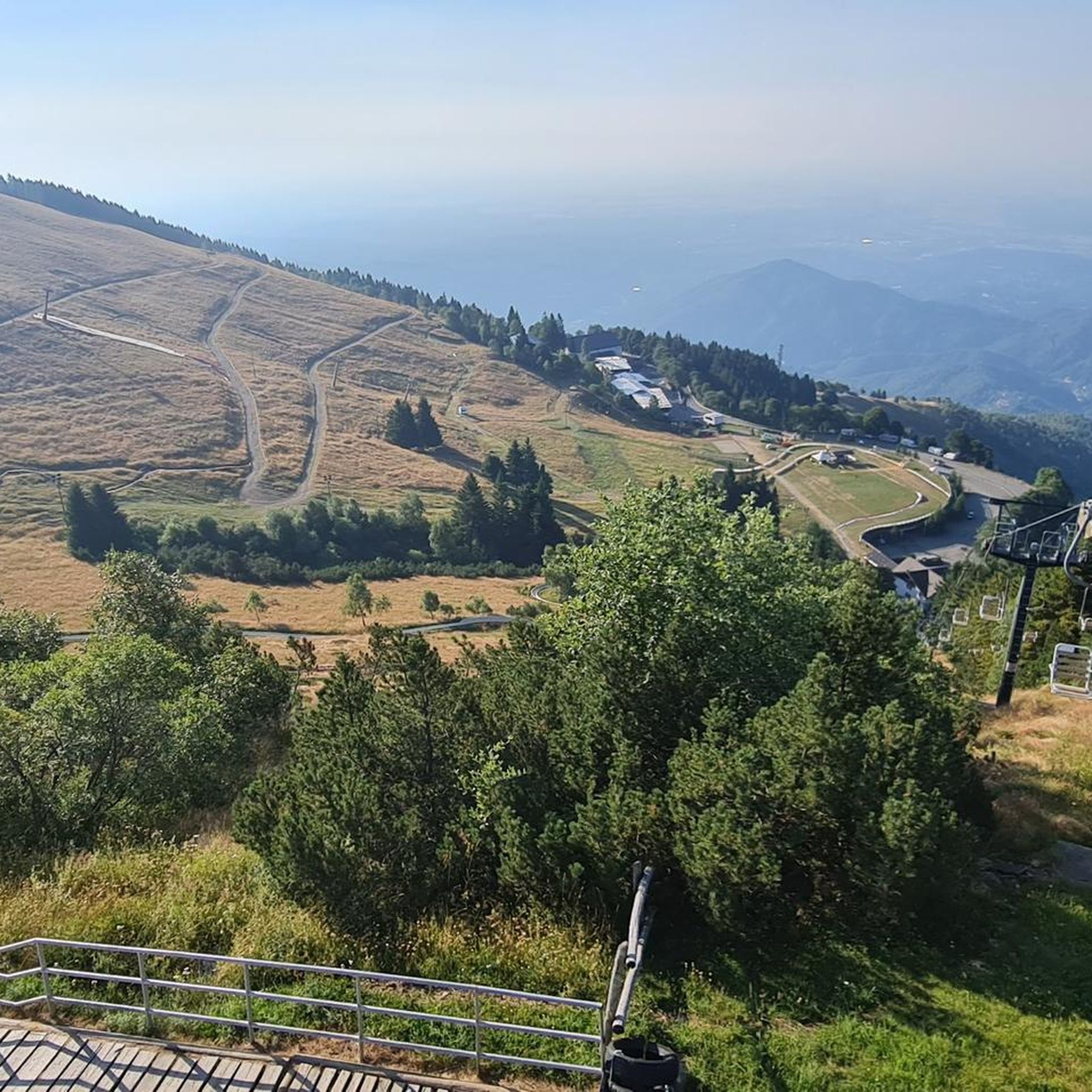
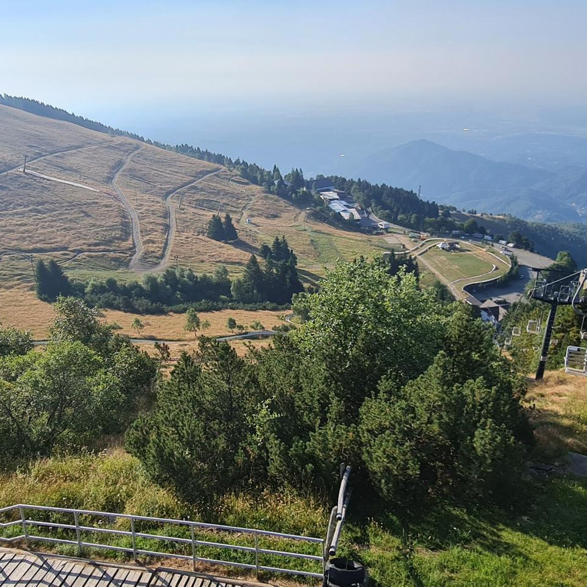
Beautiful view that goes around the mountain, only for very expert MTBs. The path is very exposed and dangerous with many stones and rocks. If done on foot, it takes at least half an hour.
0
0
beautiful view from the top that remains on the ridge is more a trail to do on foot but also feasible by MTB for the more experienced it is not long it can also be done the last piece on foot
0
0

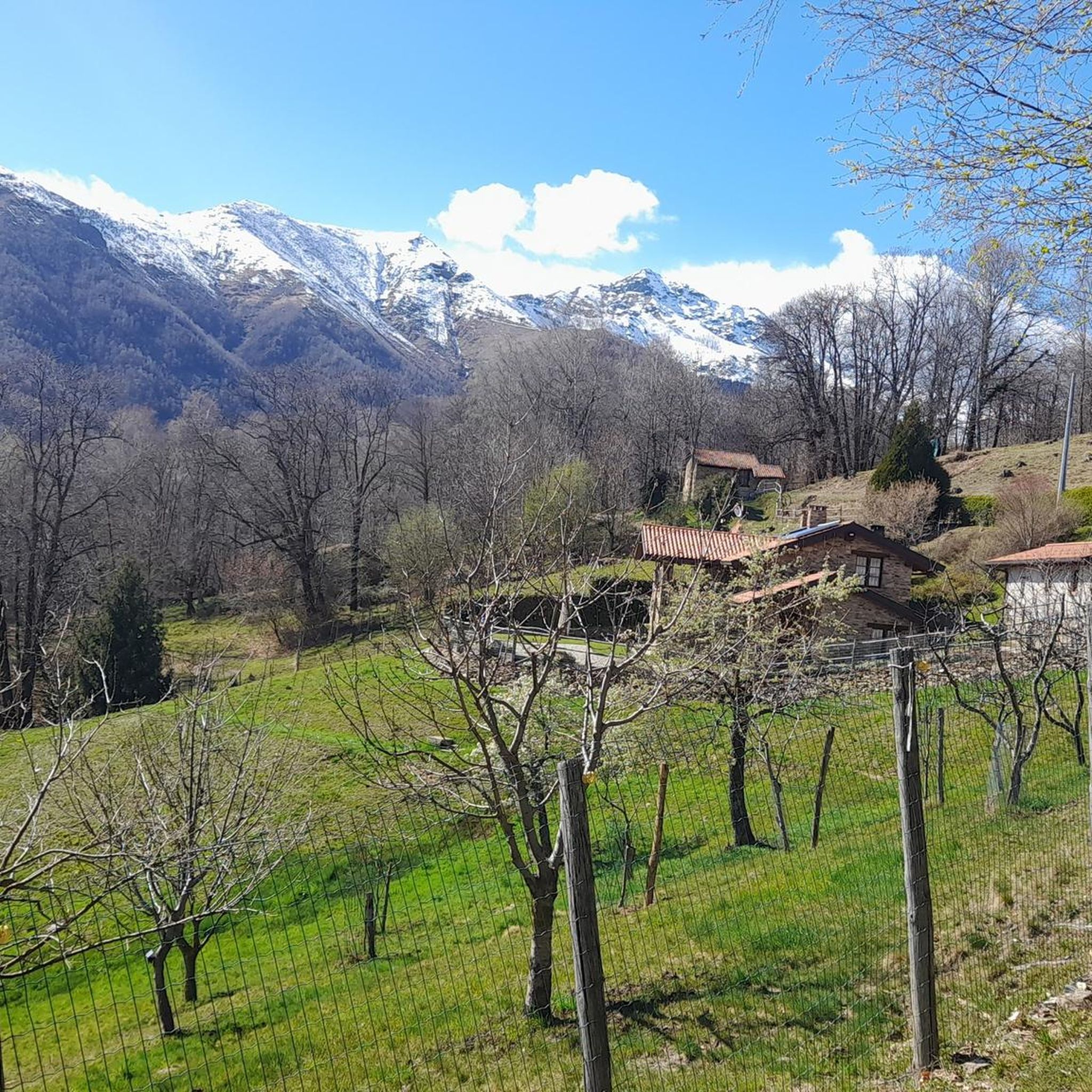
The **Passo (or Bocchetto) di Bocchetto Sessera is an alpine pass located in the Biella Alps, in the Province of Biella (Piedmont, Italy). It connects the Valle dello Strona di Mosso with the Val Sessera, between the mountains Monte Marca (1,558 m) and Monticchio (1,697 m).
14
0

Fantastic place, time stops when you are there
1
0

Main entrance to the Oasi Zegna, from which many paths start, including the "Bosco del Sorriso" path and others
2
0

magical and hidden place 😉
1
0

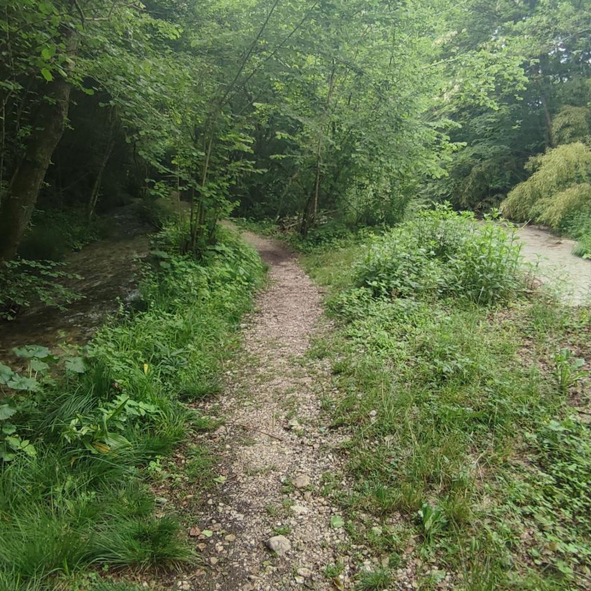
clear and useful signage
0
0

I have always preferred to start from Bocchetto Sessera, on a dirt road to Artignaga or, a few dozen meters below, on the path of smiles. From Artignaga, depending on the day's plan, many possibilities open up, from a long and tiring tour, in a good sense, to Alpe Balma delle Basse, three buildings painted white under a roof of rocks, then to the nearby hill between Asnass and Punta dello Scaletto, and then to the right on a path that climbs to the hill between Cravile and Bo, then either you descend along the crest to the left to Bocchetto or, with a bit of time and experience, you can go up to the right to Manzo and Bo, obviously you have to question your body and your watch to decide sensibly, hours of walking and altitude difference can become excessive. But it is already beautiful and satisfying to go up from Artignaga to the Alps of the Bassa, a dozen or so houses in a row, half renovated and half ruins, and then to the hill before Cima delle Guardie and then return via the ridge to Bunom and finally to Bocchetto Sessera
0
1
Frequently Asked Questions
How many hiking trails are available around Vallanzengo?
There are over 570 hiking trails around Vallanzengo, offering a wide range of options for all abilities. This includes more than 160 easy routes, over 310 moderate paths, and around 100 more challenging trails.
What kind of terrain can I expect on hikes in Vallanzengo?
Vallanzengo offers a diverse range of terrain, from ancient forests and rolling hills to majestic mountains that are part of the Biella Alps. You can also explore unique landscapes like the "Biella Savannah" in the Baraggia di Candelo – Baragge Nature Reserve, characterized by extensive clayey plateaus and sparse forests.
Are there any circular hiking routes in Vallanzengo?
Yes, Vallanzengo features several circular routes. A popular option is On the crest of Monte Cerchio - Ring tour, a moderate 6.8-mile (11.0 km) path that offers scenic views from the Monte Cerchio crest. Another great choice is the Bonom Loop Trail, which is also a moderate 6.9-mile (11.2 km) route.
What natural features or landmarks can I see along the hiking trails?
The region is rich in natural and cultural landmarks. You might encounter waterfalls, such as the Oropa Stream Waterfall, or enjoy panoramic views from spots like the Alpe Moncerchio Viewpoint. The trails also lead to significant sites like the Sanctuary of Oropa, nestled in the Biella Alps, and the unique "Biella Savannah" landscape.
Are there any family-friendly hiking trails in Vallanzengo?
Yes, Vallanzengo has over 160 easy routes suitable for families. These paths often wind through ancient forests and gentle hills, providing accessible options for all ages. While specific family-focused routes aren't detailed, the abundance of easy trails ensures there are plenty of choices for a pleasant family outing.
Can I bring my dog on the hiking trails in Vallanzengo?
Many trails in Vallanzengo are dog-friendly, allowing you to explore the diverse landscapes with your canine companion. It's always recommended to keep your dog on a leash, especially in nature reserves like the Baraggia di Candelo, and to be mindful of local regulations and other hikers.
What is the best time of year to go hiking in Vallanzengo?
The best time to hike in Vallanzengo is generally from spring through autumn. During these seasons, the weather is most favorable, offering pleasant temperatures for exploring the forests, hills, and mountain paths. Summer provides lush greenery, while autumn brings vibrant colors to the landscape.
Where can I find parking for hiking trails in Vallanzengo?
Parking is available at various starting points for trails around Vallanzengo. For routes leading to areas like Bocchetto Sessera or the Oropa Sanctuary, designated parking areas are typically provided. For trails within the Baraggia di Candelo, look for parking near reserve access points.
How can I reach hiking trails near Vallanzengo using public transport?
Public transport options are available to access key hiking areas. The Sanctuary of Oropa, a significant starting point for many mountain trails, is accessible by public transport. For other specific trailheads, local bus services might connect to nearby towns, from which you can begin your hike.
What do other hikers enjoy most about hiking in Vallanzengo?
The hiking experience in Vallanzengo is highly rated by the komoot community, with an average score of 4.4 stars from over 2600 reviews. Hikers often praise the diverse natural landscapes, the blend of ancient forests and unique plateaus, and the variety of routes catering to different skill levels.
Are there any huts or places to rest along the trails?
Yes, there are huts and places to rest. For example, you might come across the Piana del Ponte Hut or the Alpe Piana dei Lavaggi. These can offer a welcome break during longer hikes.
Are there any trails that lead to lakes or water features?
Yes, some trails in the region lead to beautiful water features. You can find routes that pass by Lake delle Piane, offering serene views. Additionally, the Oropa Stream Waterfall is another notable water feature accessible via certain paths.
Most popular routes around Vallanzengo
Most popular attractions around Vallanzengo

Get inspired with the komoot mobile app


Explore more
Browse the best Hikes in other regions.
