The best running trails around Pettinengo
4.5
(102)
6,968
runners
489
runs
Jogging around Pettinengo offers a diverse landscape characterized by rolling hills, forested paths, and elevated terrain that provides panoramic views of the surrounding valleys. The region's geography, with its mix of moderate and challenging ascents, caters to runners seeking varied experiences. Many routes traverse natural areas, including sections with waterfalls and mountain vistas, making for engaging running experiences.
Best jogging routes around Pettinengo
- The most popular jogging route is Monte Bo Valsesiano - Alpe Meggiana Loop, a 4.7 miles…
Last updated: July 4, 2026
1
runners
7.52km
01:15
510m
500m
Jog this difficult 4.7-mile loop to Monte Bo Valsesiano in Alta Valsesia Natural Park for panoramic views of Monte Rosa and alpine terrain.
5.0
(1)
251
runners
14.9km
02:08
600m
600m
Hard run. Very good fitness required. Sure-footedness, sturdy shoes and alpine experience required.

Sign up for free
48
runners
20.0km
03:12
970m
970m
Hard run. Very good fitness required. Sure-footedness, sturdy shoes and alpine experience required.
5.0
(1)
40
runners
15.9km
02:05
520m
520m
Hard run. Very good fitness required. Sure-footedness, sturdy shoes and alpine experience required.
42
runners
6.88km
00:54
220m
220m
Moderate run. Good fitness required. Mostly paved surfaces. Suitable for all skill levels.
Get access to more routes and recommendations from other explorers.
Sign up for free
Already have an account?
Our route recommendations are based on thousands of hikes, rides, and runs completed by other people on komoot.
Start today with a free account
Your next adventure awaits.
Login or Signup

Tips from the Community

Fountain outside Billa towards Oropa
0
1

Here you can choose...Bielmonte, Bocchetto Sessera or Bocchetto Lovera.
0
0

For the foliage, go in November and early December... a guaranteed spectacle.
1
0

Monte Bo on the ridge that divides Val Sorba from the Meggiana basin, panorama towards the Monte Rosa group and the main groove of Valsesia.
1
0

The Alpe Mezzana Refuge is a typical mountain structure, surrounded by greenery, which offers a panoramic view over the entire Valsesia, from around 1560 meters above sea level. The refuge can be reached by car, about 15 minutes from the municipality of Piode and offers a restaurant service during the summer period.
1
0
Monte Bo di Valsesia is located at 2072 meters. Monte Bo is located on the watershed crest that divides Val Sorba from the Meggiana basin. The ridge originates from the Testone delle Tre Alpi, from which the Bo is separated by a collar called Colma Colora or Bocchetta del Bo (2,023 m). From the summit you can admire the Monte Rosa group and Valsesia. On the top, in addition to a statue of the Madonna, there is the trigonometric geodetic point of the IGM called Monte Bo di Valsesia.
1
0

The Bottalino fountain marks the entrance to the city of Biella, famous for its textile industry. It is a very popular and well-known fountain in Biella, donated in 1873 by the Lamarmora family. An obligatory pit stop, even to fill the water bottles!
3
0

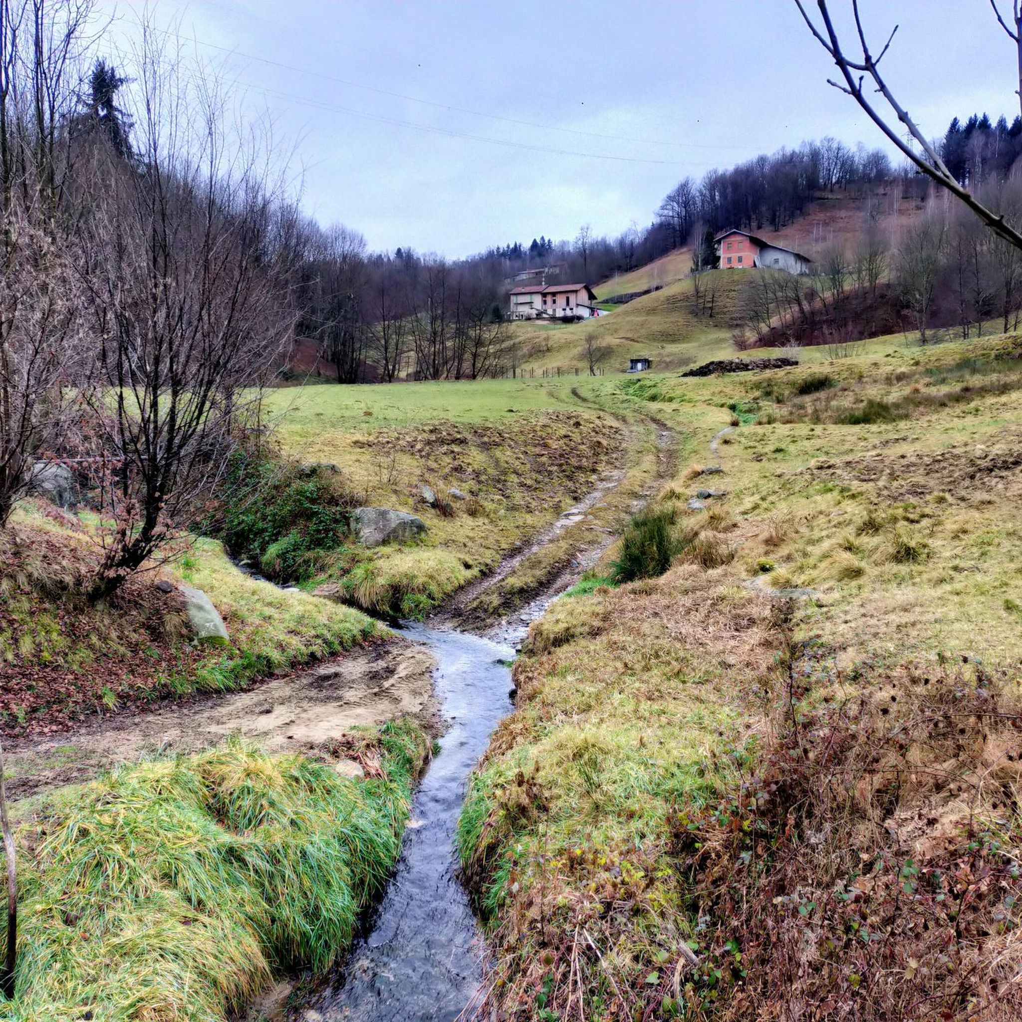
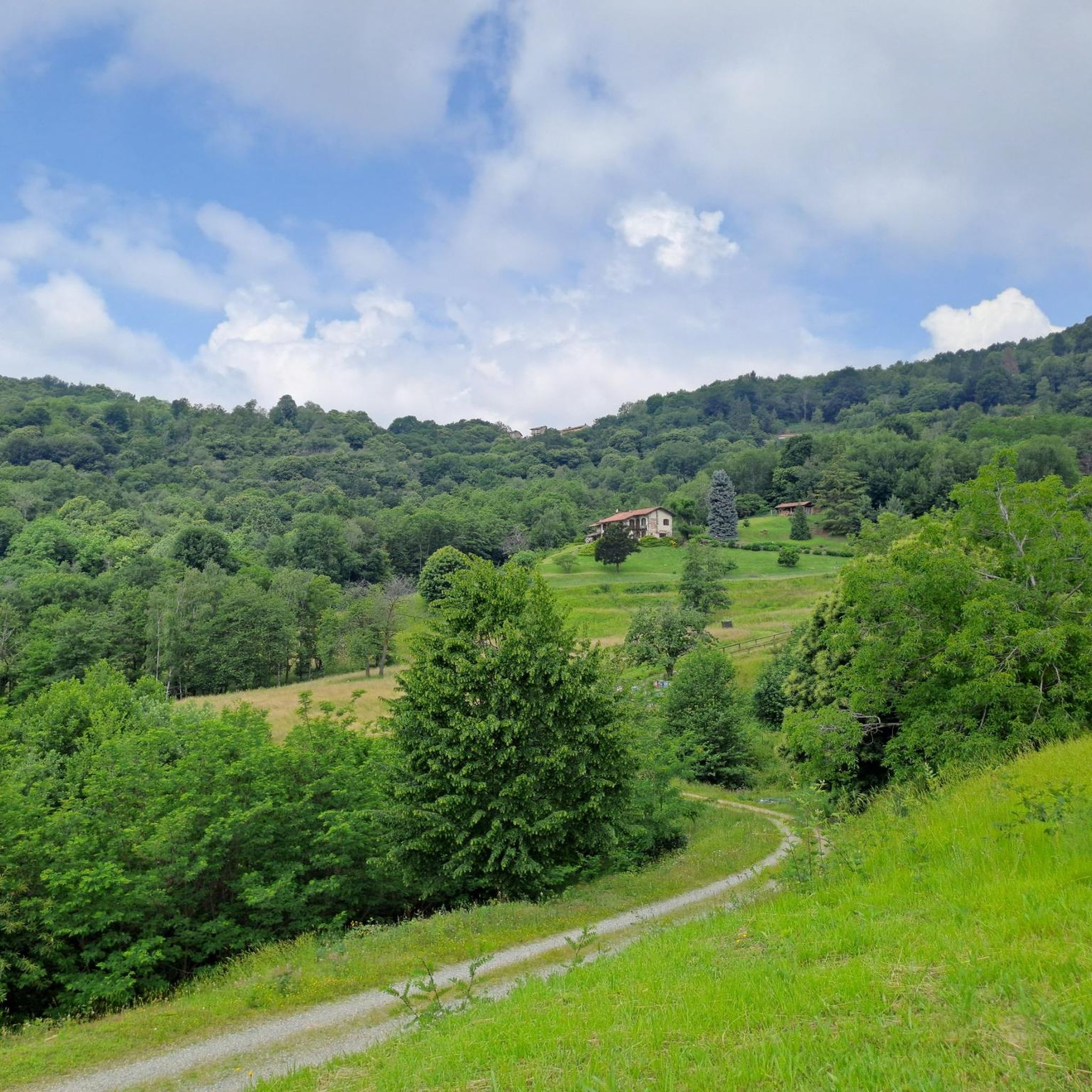
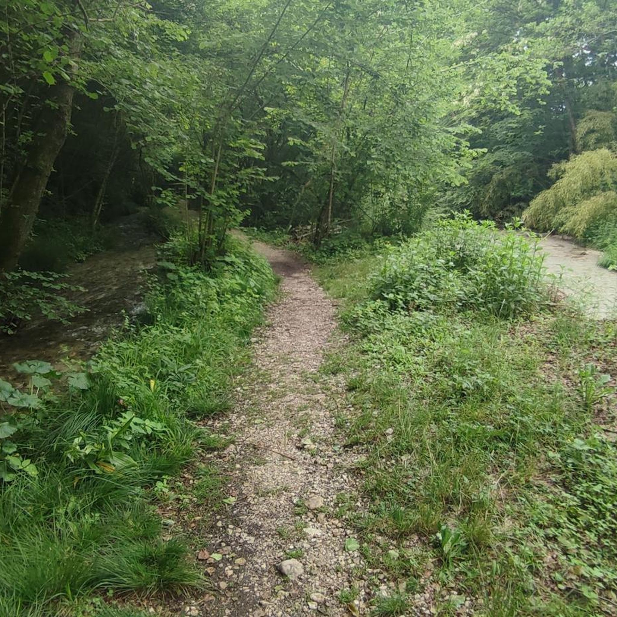
dirt road in excellent maintenance conditions (June 2023)
0
1
Frequently Asked Questions
How many running routes are available around Pettinengo?
Pettinengo offers a wide variety of running experiences, with nearly 500 routes available. These range from easy jogs to challenging mountain trails, catering to all fitness levels.
Are there any easy or beginner-friendly jogging routes in Pettinengo?
Yes, while many routes feature challenging ascents, there are approximately 35 easy jogging routes suitable for beginners or those looking for a more relaxed run. These often traverse gentler terrain through forested paths and rolling hills.
What are the typical lengths and durations of jogging trails in Pettinengo?
Running routes in Pettinengo vary significantly in length and duration. For example, the Monte Bo Valsesiano - Alpe Meggiana Loop is about 4.7 miles (7.5 km) and takes around 1 hour 15 minutes, while the Waterfall on the Trail loop from Veglio is 12.4 miles (20.0 km) and can take over 3 hours to complete.
Are there any circular jogging routes available in the Pettinengo area?
Yes, many of the running routes around Pettinengo are circular, offering varied scenery without retracing your steps. Examples include the popular Monte Bo Valsesiano - Alpe Meggiana Loop and the challenging Monte Turlo – Cima Sant'Eurosia loop from Pettinengo.
Can I find jogging routes with waterfalls or scenic views in Pettinengo?
Absolutely. The region is known for its natural beauty. The Waterfall on the Trail loop from Veglio specifically features a notable waterfall. Many routes also offer panoramic views of the surrounding valleys and alpine scenery, such as the Monte Bo Valsesiano - Alpe Meggiana Loop.
What kind of natural attractions or landmarks can I see along the running trails?
Pettinengo's trails often lead through diverse natural areas. You might encounter beautiful lakes like the Barma Lakes or Laghetto del Camino. There are also impressive waterfalls, such as the Oropa Stream Waterfall. Additionally, several mountain huts like Rifugio della Balma offer points of interest along longer routes.
What do other runners enjoy most about jogging in Pettinengo?
The komoot community highly rates the running experience in Pettinengo, with an average score of 4.4 stars from over 80 reviews. Runners often praise the diverse landscape, including rolling hills, forested paths, and the rewarding panoramic views from elevated terrain. The mix of moderate and challenging ascents also caters to varied preferences.
Are there any moderate difficulty running loops for intermediate runners?
Yes, a significant portion of the routes, specifically 272, are classified as moderate difficulty. An example is the Running loop from Andorno Micca, which offers a good challenge without the extreme elevation gains of the most difficult trails.
What are the best times of year for jogging in Pettinengo?
The diverse landscape of Pettinengo makes it suitable for jogging across multiple seasons. Spring and autumn offer pleasant temperatures and vibrant scenery. Summer is also popular, especially for higher-altitude routes that provide cooler air. Winter running is possible, though some higher or more exposed trails may require checking local weather and trail conditions due to snow or ice.
Are the jogging routes around Pettinengo suitable for families?
While many routes feature significant elevation changes, there are easier trails that families can enjoy. Look for routes classified as 'easy' in the komoot app, which typically have less challenging terrain and shorter distances, making them more suitable for family outings.
Are there any routes that pass by historical or cultural points of interest?
While the focus is often on natural landscapes, some routes may pass by local landmarks. For instance, the Martini Tower – Bottalino Fountain loop from Tollegno offers a chance to see specific local features while enjoying your run.
Most popular routes around Pettinengo
Most popular attractions around Pettinengo

Get inspired with the komoot mobile app


Explore more
Browse the best Running Trails & Routes in other regions.
