The best walks and hikes around Tigliole
4.3
(507)
1,956
hikers
255
hikes
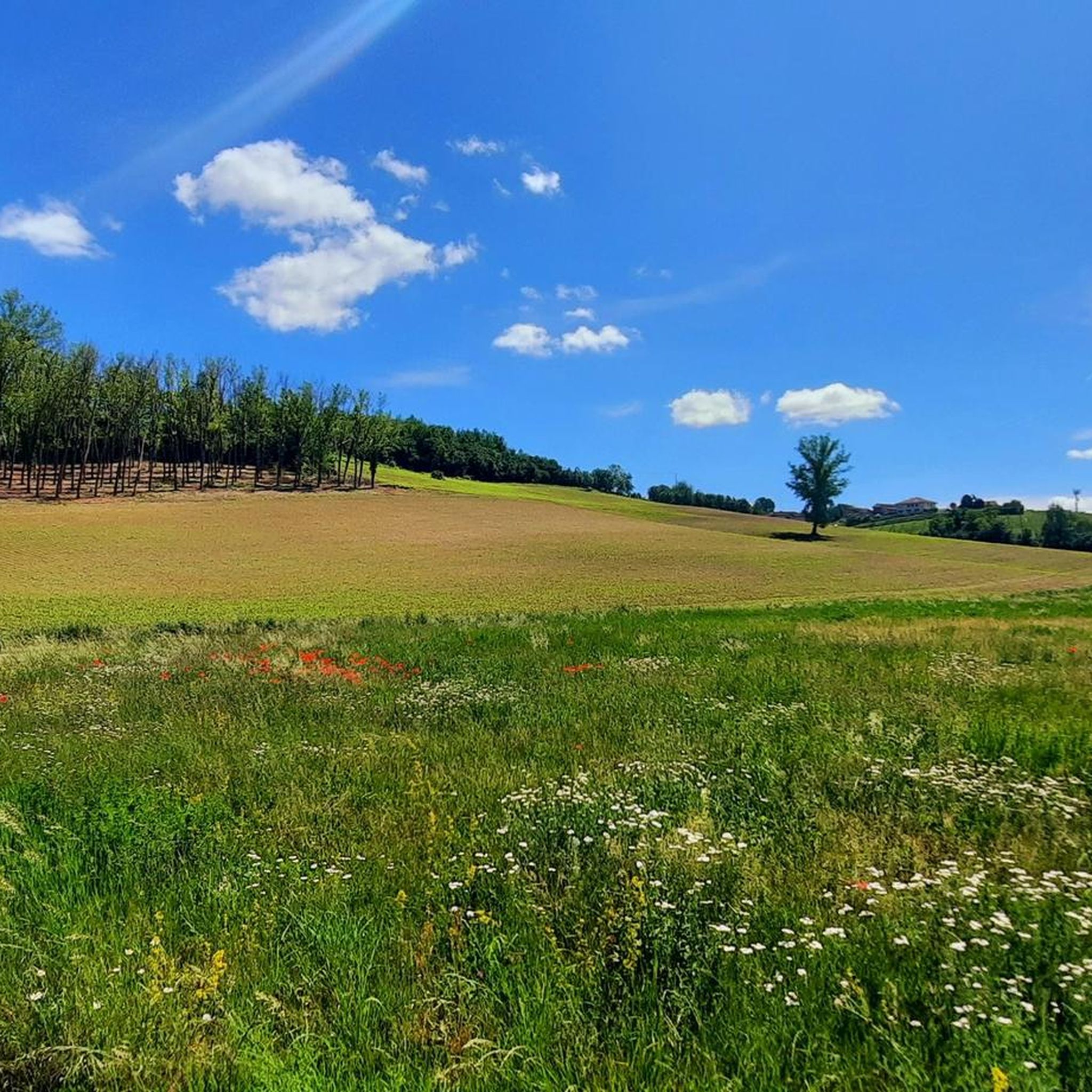
Hiking around Tigliole offers a network of trails through the Asti region, characterized by diverse landscapes. The routes traverse vineyards, hazelnut groves, and oak woodlands, often descending into valleys like the scenic Pertusa Valley. Hikers can also explore wetlands and enjoy panoramic views from elevated ridges. The terrain features gentle ups and downs, making it accessible for various fitness levels.
Best hiking trails around Tigliole
- The most popular hiking route is Hazelnut Trail Loop, a 4.7 miles (7.5 km)…
Last updated: October 10, 2026
4.5
(11)
25
hikers
7.52km
02:03
120m
110m
Moderate hike. Good fitness required. Easily-accessible paths. Suitable for all skill levels.
3
hikers
6.62km
01:54
160m
160m
Easy hike. Great for any fitness level. Easily-accessible paths. Suitable for all skill levels.

1
hikers
9.39km
02:34
150m
150m
Moderate hike. Good fitness required. Easily-accessible paths. Suitable for all skill levels.
6.51km
01:47
110m
110m
Easy hike. Great for any fitness level. Easily-accessible paths. Suitable for all skill levels.
Hard hike. Very good fitness required. Easily-accessible paths. Suitable for all skill levels.
Get access to more routes and recommendations from other explorers.
Already have an account?
Our route recommendations are based on thousands of hikes, rides, and runs completed by other people on komoot.
Start today with a free account
Your next adventure awaits.
Tips from the Community

A beautiful castle complex and two churches, set against a panoramic backdrop of the Asti hills.
0
0

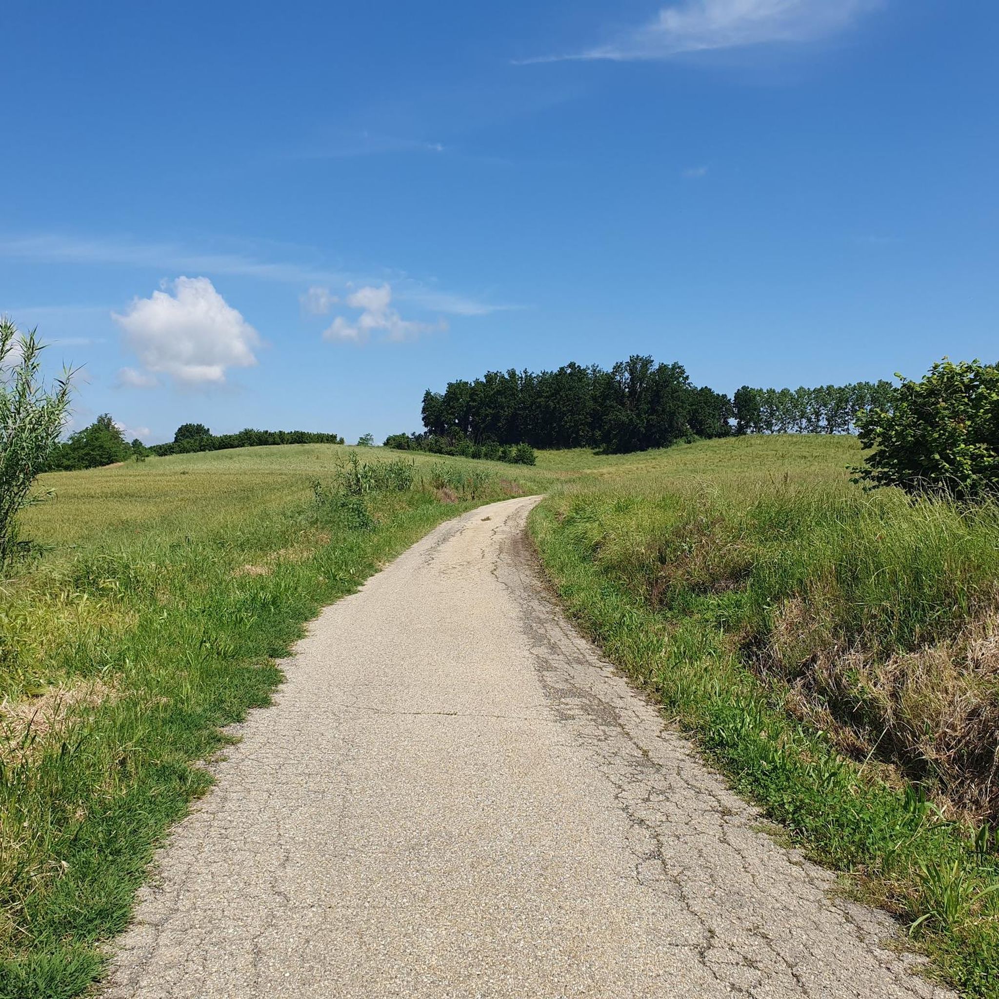
A beautiful dirt road that connects these two hamlets of different municipalities, namely Lavezzole (San Damiano) and Merlazza (Celle Enomondo) perhaps dusty, perhaps with some puddles to dribble but still very useful to avoid the Asti-San Damiano provincial road usually frequented by cars that go rather fast.
0
0

It rises in Astesana, in the tourist area called "Le Colline dei Fiumi", on the watershed of the Tanaro and Borbore rivers, controlling the important ridge line that connected Asti to Roero.
0
0
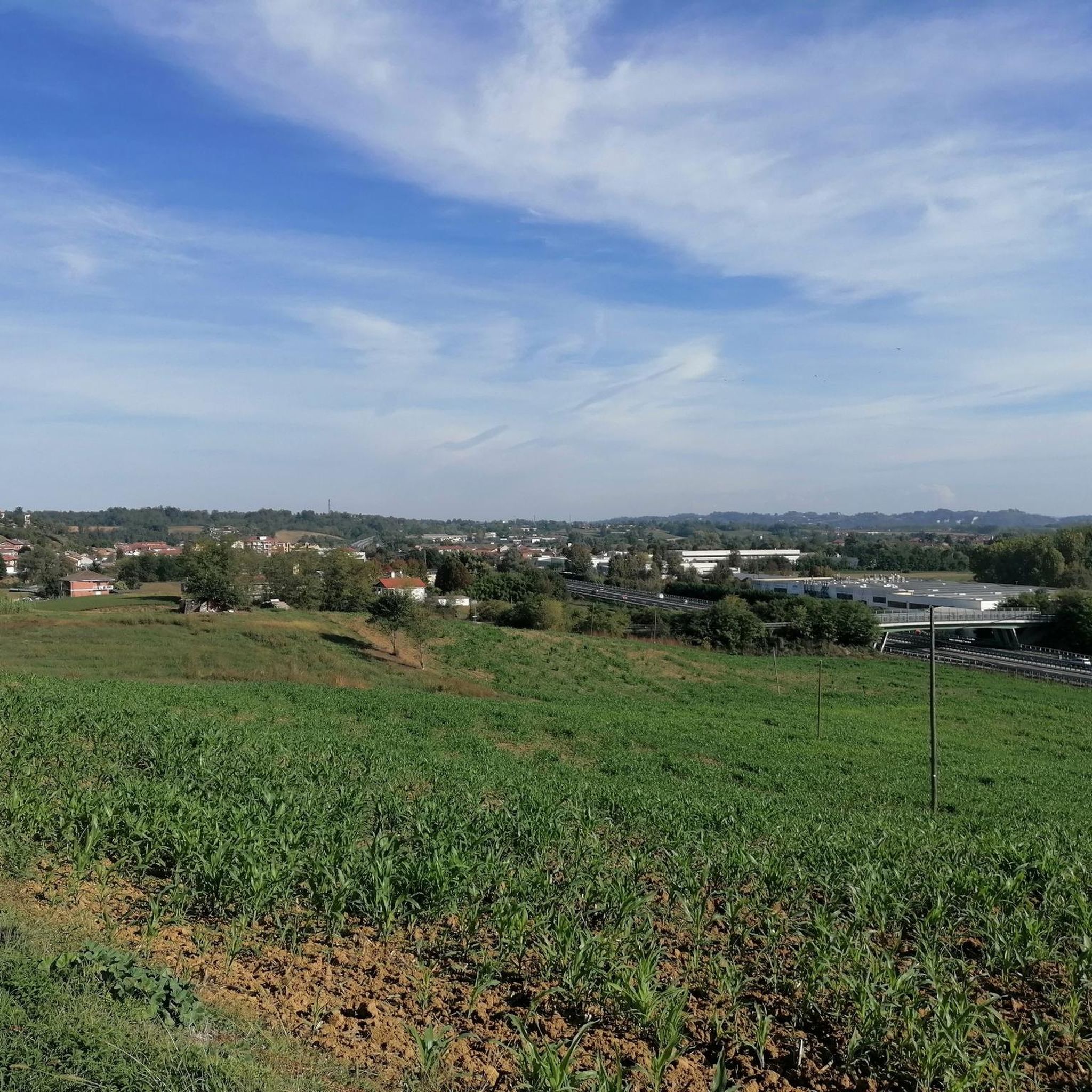
Country junction of several roads and therefore crucial for many of my tours in the area. From here you can reach Motta di Costigliole, Govone, San Damiano, Antignano and Celle Enomondo.
0
0

Enchanting village overlooking the Val Tanaro
0
0
Another historical point of passage of my tours: Castellero. A kilometer and perhaps more uphill to get to the top and find this viewpoint with graphics showing the mountainous arch on the horizon, the church and the town hall.
0
0
One of the villages of what I call the "Alfierian cordillera" or the set of hill villages between Alba and Asti ranging from Guarene to Antignano. The roads that arrive here are all very beautiful... already only the asphalt ones.
0
0
A country I've passed through dozens of times, it is the junction of many routes to as many nearby towns: Govone, San Damiano/Lavezzole, Antignano, Asti and Motta di Costigliole.
1
0
Frequently Asked Questions
How many hiking trails are there in Tigliole?
Tigliole boasts an extensive network of over 240 hiking routes. These trails cater to various preferences, with approximately 100 easy routes, 135 moderate options, and a few more challenging paths for experienced hikers.
What kind of terrain and landscapes can I expect on Tigliole's hiking trails?
The trails in Tigliole offer a diverse landscape, winding through hazelnut and oak trees, vineyards, and acacia groves. You'll experience gentle ups and downs, traverse scenic areas like the Pertusa Valley, and encounter both lush woods and open meadows. Some routes also feature wetlands and truffle grounds, with panoramic views from ridges such as Remondini and Serra dei Nani. The paths cleverly alternate between picturesque dirt roads and occasional asphalt sections.
Are there any family-friendly hiking options in Tigliole?
Yes, Tigliole is well-suited for families. Many routes feature gentle elevation changes and varied terrain, making them accessible for different ages. A notable stop for families is the LIPU Area - Centro Recupero Fauna, a wildlife recovery center that rehabilitates local animals, offering an educational and interesting experience. The municipality has also designed routes with different colored markers to allow for shorter circuits, perfect for younger hikers. For an easy walk, consider A Walk Through Tigliole, which is 4.1 miles long.
Can I bring my dog on the trails in Tigliole?
While specific regulations for dogs on every trail may vary, many outdoor areas in Italy are generally dog-friendly, especially on leash. Given the natural and varied terrain of Tigliole's trails, it's likely that well-behaved dogs on a leash are welcome. Always ensure to clean up after your pet and respect local signage.
Are there circular hiking routes available in Tigliole?
Yes, the municipality of Tigliole has specifically developed a permanent system of loop hiking trails entirely within its territory. These circular routes vary in length, with some offering different colored markers to allow for shorter circuits. An example of a popular loop is the Hazelnut Trail Loop, which is 4.7 miles long and takes about 2 hours to complete.
What natural features or landmarks can I see while hiking in Tigliole?
Hikers in Tigliole can explore a variety of natural and historical points of interest. You'll find wetlands and truffle grounds, especially in the southwestern itineraries. Panoramic views are available from ridges like Remondini and Serra dei Nani. For a glimpse into the region's history, you might encounter a Romanesque Church. Additionally, the Astigiano Paleontological Park is a notable natural monument nearby.
Where can I find parking for hiking trails in Tigliole?
Many walks in Tigliole conveniently start near the Town Hall, which is often a good indicator of available parking in the town center. The well-developed trail system suggests that designated parking areas are likely available at key access points for the various routes. It's advisable to check local signage upon arrival for specific parking instructions.
Is public transport available to reach the hiking areas in Tigliole?
Tigliole is a charming town in the Asti region. While specific public transport links directly to every trailhead might be limited, local bus services typically connect smaller towns within the Asti province. It's recommended to check local bus schedules to Tigliole from larger nearby towns for the most up-to-date information on reaching the area.
What is the best time of year to go hiking in Tigliole?
Tigliole offers pleasant hiking conditions for much of the year. Spring and autumn are particularly ideal, with mild temperatures and beautiful scenery as vineyards change color or flowers bloom. The varied greenery, including hazelnut and oak trees, provides shade in warmer months, making summer hiking enjoyable, especially in the mornings or late afternoons. Winter can also be beautiful, though some paths might be muddy or require appropriate gear.
Are there places to eat or stay near the hiking trails in Tigliole?
Yes, Tigliole and its surrounding area offer various amenities for visitors. You'll find local restaurants, osterias, agriturismos, and B&Bs, providing opportunities to experience local culture and cuisine. Conveniently located along the routes are also picnic areas, some equipped with fountains, perfect for a rest and refreshment during your hike.
What do other hikers say about the trails in Tigliole?
The hiking routes in Tigliole are highly regarded by the komoot community, holding an impressive average score of 4.3 stars from over 350 reviews. More than 1600 hikers have used komoot to explore Tigliole's varied terrain, often praising the well-marked paths, diverse landscapes, and the accessibility of routes for different ability levels.
What are the typical lengths and elevations of hikes in Tigliole?
The permanent system of loop hiking trails in Tigliole offers a range of options, with routes varying in length from 6 to 21 kilometers (approximately 3.7 to 13 miles). The overall elevation gain across the comprehensive 21 km route is about 500 meters (1640 feet), characterized by gentle ups and downs. For example, From San Carlo to San Damiano d'Asti (via Trail 107) is 5.8 miles with about 145 meters of elevation gain.
Most popular attractions around Tigliole

Get inspired with the komoot mobile app


Explore more
Browse the best Hikes in other regions.
