The best MTB trails around Chiusano D'Asti
4.4
(158)
366
riders
54
rides
Mountain bike trails around Chiusano D'Asti are set within Italy's Piedmont region, characterized by a distinctive hilly landscape. The area features soft, undulating slopes that generally do not exceed 400 meters in altitude, providing varied terrain for mountain biking. Large areas of woodland are scattered throughout, offering shaded routes and natural obstacles. The "Astiane Sands" contribute to the soil composition, forming loose soils that can influence trail conditions.
Best mountain bike trails around Chiusano D'Asti
- The most popular mountain bike…
Last updated: October 4, 2026
4.4
(18)
38
riders
39.2km
03:19
690m
690m
This moderate 24.4-mile mountain biking loop through the Asti hills offers continuous ascents and descents, vineyards, and historical landma
4.5
(2)
8
riders
36.1km
02:22
380m
380m
Moderate mountain bike ride. Good fitness required. Suitable for all skill levels.

3.5
(2)
5
riders
35.6km
02:53
640m
640m
Moderate mountain bike ride. Good fitness required. Suitable for all skill levels.
3
riders
Moderate mountain bike ride. Good fitness required. Suitable for all skill levels.
4.5
(2)
2
riders
21.5km
01:18
220m
220m
Easy mountain bike ride. Great for any fitness level. Suitable for all skill levels.
Get access to more routes and recommendations from other explorers.
Already have an account?
Our route recommendations are based on thousands of hikes, rides, and runs completed by other people on komoot.
Start today with a free account
Your next adventure awaits.
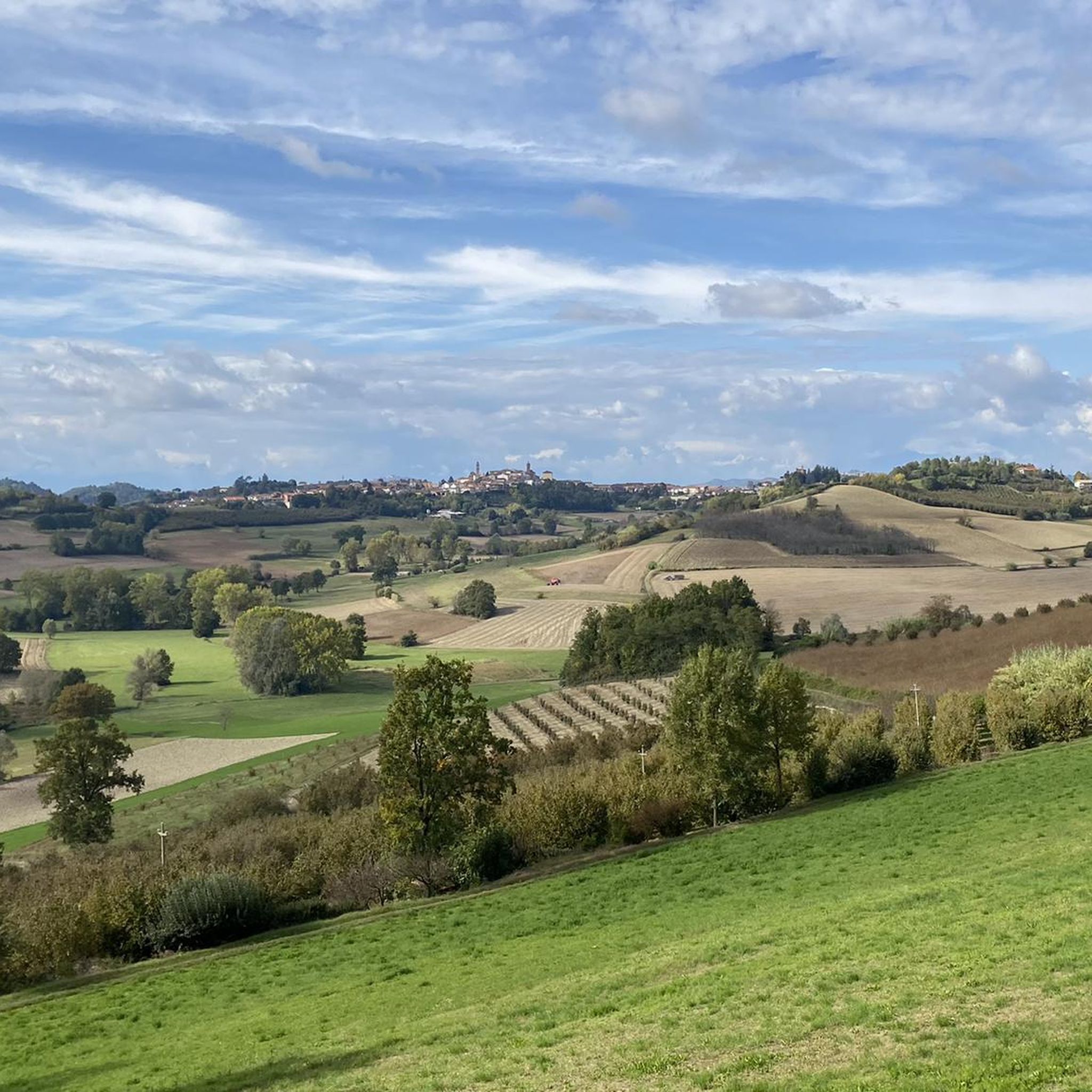
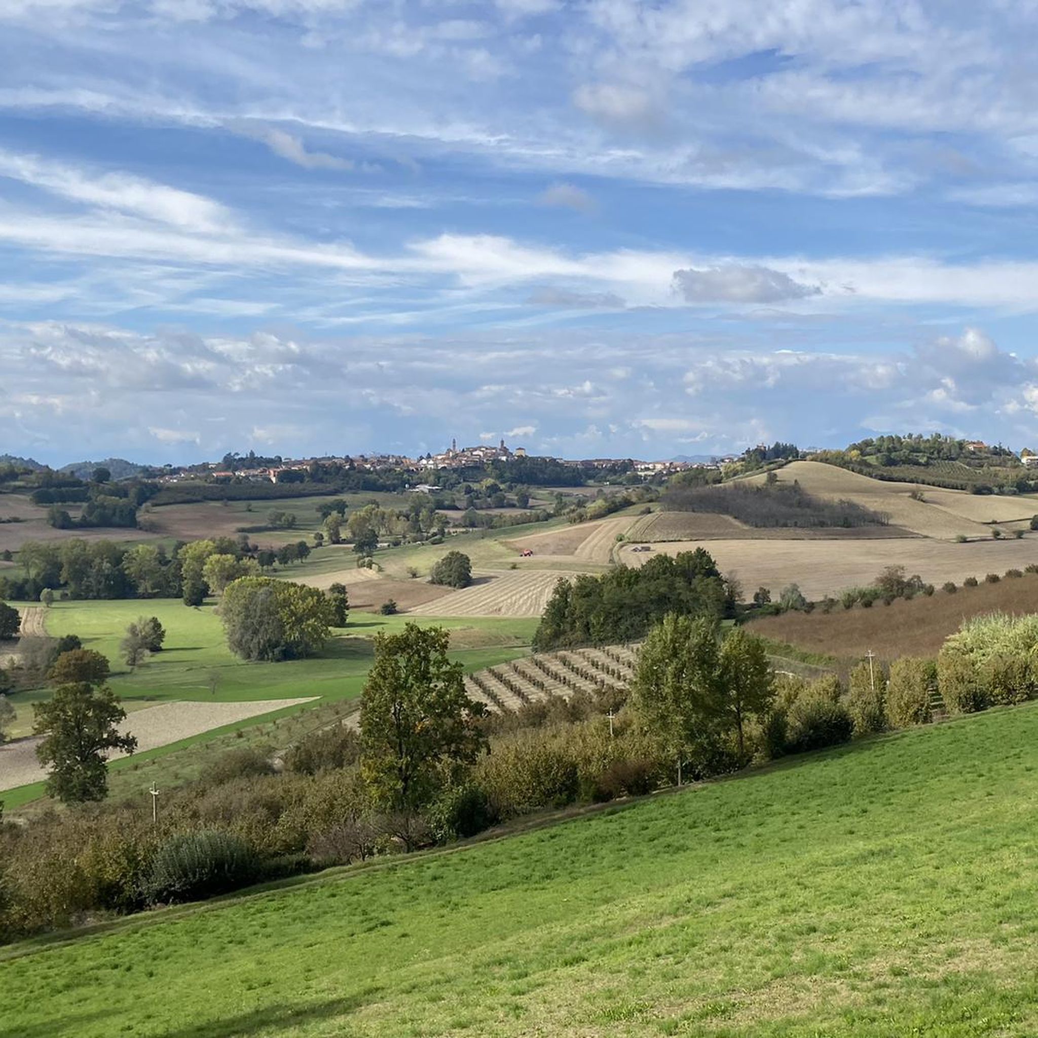
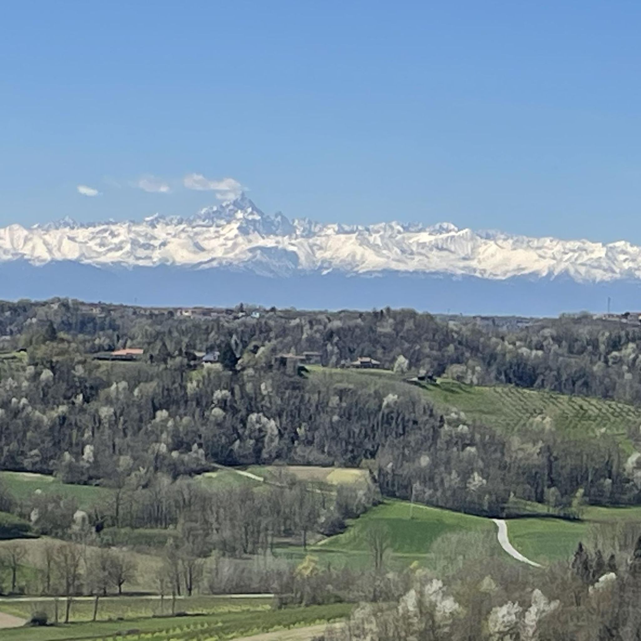
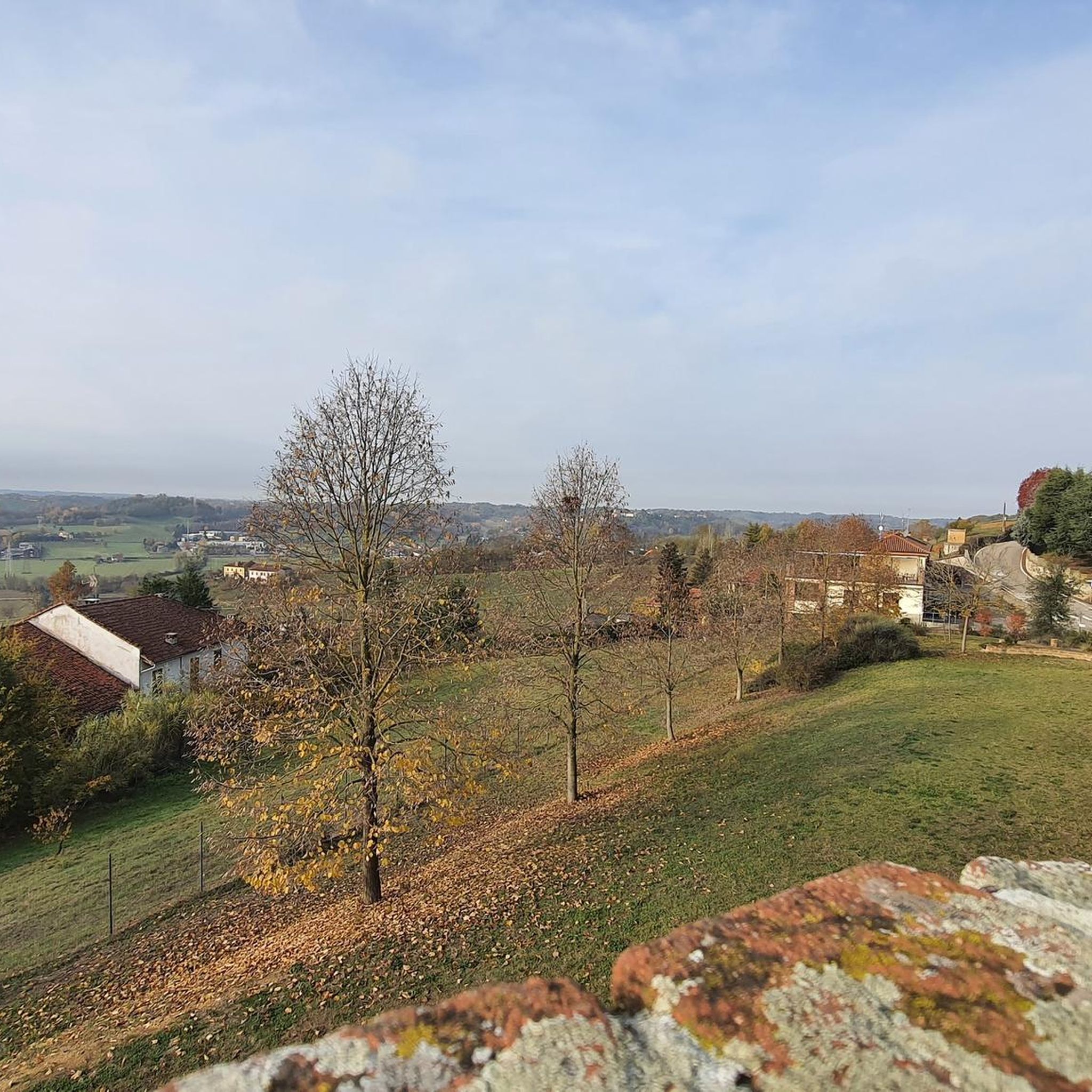
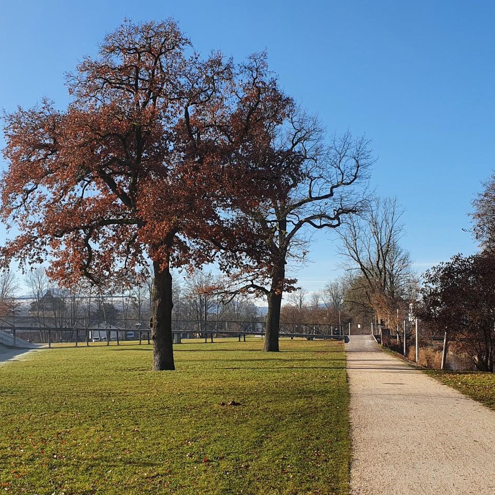
Tips from the Community

The church of Saints Nazario and Celso is a church located about two kilometers from Montechiaro d'Asti, in Piedmont, on the slopes of a green hill (the "Bric San Nazario"), surrounded by trees all around except for the facade. It is characterized by a tall bell tower and the chromatic effect given by the alternating bands of brick and sandstone. It constitutes an important testimony of the Romanesque architecture that developed in the 12th century in the Monferrato astigiano.
0
0

Small hamlet along the road to Montechiaro (more precisely the 53). A road with very little traffic 365 days a year.
0
0
Located in the roundabout area where, on Sunday mornings, if I'm not mistaken, there is a market of zero-mile fruit and vegetables.
0
0
Votive chapel at the intersection of Valmanera and Caramagna streets. The latter is an excellent connection route with the Valgera and Valmaggiore areas. All areas very popular with Asti cyclists.
0
0
The central and main street of the town. In the background the castle and, to a small extent, also the bell tower are visible.
0
0
Valmanera and Viatosto are two "oases" for runners, cyclists and walkers who have the opportunity to do what they love most in contact with nature and a short distance from the city centre.
0
0
Located at the point where the SP53 intersects with the road to Madonna dell'Olmetto.
0
0
At the entrance to the town and on the SP53 route. All the roads that lead to Cossombrato are beautiful and the one that leads from the small church of San Rocco to Madonna dell'Olmetto within 2km is very interesting.
0
0
Frequently Asked Questions
How many mountain bike trails are available around Chiusano D'Asti?
There are over 50 mountain bike trails around Chiusano D'Asti, offering a wide range of options for different skill levels. The komoot community has mapped 56 routes in total.
What are the typical difficulty levels for mountain biking in this region?
The trails around Chiusano D'Asti cater to various abilities. You'll find 16 easy routes, 29 moderate routes, and 11 more difficult trails, ensuring options for beginners to experienced riders.
What is the terrain like for mountain biking around Chiusano D'Asti?
The region is characterized by a distinctive hilly landscape with soft, undulating slopes that generally do not exceed 400 meters in altitude. You'll encounter large areas of woodland providing shaded routes, and the 'Astiane Sands' contribute to loose soils, which can influence trail conditions, especially in drier periods.
Are there any family-friendly mountain bike trails in Chiusano D'Asti?
Yes, there are 16 easy routes suitable for families or those looking for a less strenuous ride. These trails often feature gentler inclines and a mix of paved and unpaved surfaces, making them enjoyable for various fitness levels.
What do other mountain bikers enjoy most about the trails in Chiusano D'Asti?
The mountain biking experience around Chiusano D'Asti is highly rated by the komoot community, with an average score of 4.5 stars from over 100 reviews. Riders often praise the varied terrain, the extensive woodland areas, and the panoramic views of the surrounding countryside.
Are there any circular mountain bike routes available?
Yes, many of the trails around Chiusano D'Asti are designed as circular routes, allowing you to start and finish at the same point. An example is the Valmanera Road loop from Chiusano-Cossombrato, an easy 18-mile (29 km) trail.
What is the best time of year to go mountain biking in Chiusano D'Asti?
The region's trails are enjoyable for much of the year. However, due to the 'Astiane Sands' soil composition, trails can become drier in summer. Spring and autumn generally offer pleasant temperatures and good trail conditions, with lush scenery or vibrant fall colors.
What landmarks or points of interest can I see along the mountain bike trails?
While riding, you can explore various historical and natural points of interest. Notable attractions include the Viatosto Church and View of the Hills of Asti, the Church of Saints Nazarius and Celsus, or the unique Cave Dwellings of Mombarone. The area also features several charming villages and castles, such as the Village of Camerano Casasco.
Are there any trails suitable for advanced mountain bikers?
Yes, for advanced riders seeking a challenge, there are 11 difficult trails. An example is the Gino 80 Crotin Junction – Trailhead Information Board loop from Callianetto, which covers 15.8 miles (25.5 km) with significant elevation changes.
Is it possible to reach the mountain bike trails using public transport?
While Chiusano D'Asti is well-connected by road, specific public transport options directly to trailheads may be limited. It's advisable to check local bus schedules or consider driving to a starting point, as many routes begin near villages or accessible parking areas.
Where can I find parking for mountain biking in Chiusano D'Asti?
Many trails start from or pass through local villages like Chiusano D'Asti itself, Montechiaro d'Asti, or Callianetto, where you can typically find public parking spaces. It's recommended to check the specific route details on komoot for suggested starting points and parking information.
Are there any specific trails that offer great panoramic views?
Given the region's undulating hills, many trails offer scenic vistas. The elevated positions frequently provide panoramic views of the surrounding countryside, including vineyards and traditional Italian villages. The Montechiaro d'Asti Loop Trail, for instance, features significant elevation changes across rolling hills, likely offering several viewpoints.
Most popular routes around Chiusano D'Asti
Most popular attractions around Chiusano D'Asti

Get inspired with the komoot mobile app


Explore more
Browse the best MTB trails in other regions.
