The best walks and hikes around Montaldo Scarampi
4.3
(443)
1,940
hikers
260
hikes
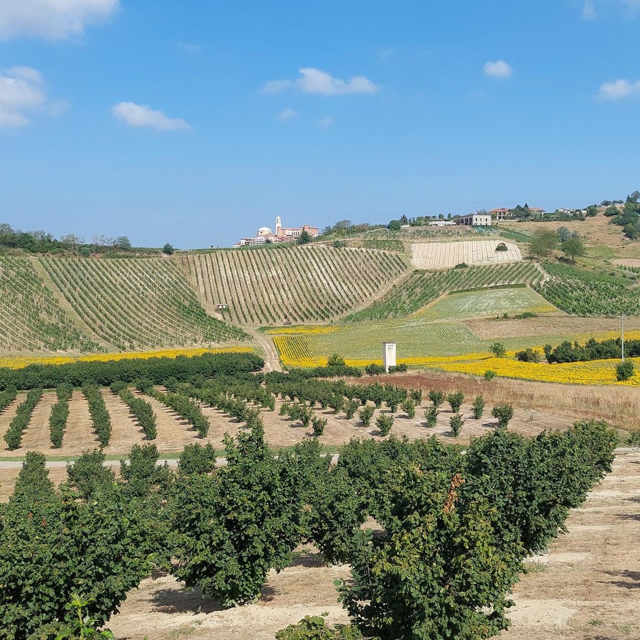
Hiking trails around Montaldo Scarampi traverse the picturesque Monferrato hills, a UNESCO World Heritage site known for its vineyard landscapes and wine production. The region features diverse terrain, including hazelnut fields, vast chestnut forests, and ecologically intact wet broadleaf woods within areas like the Val Sarmassa Nature Reserve. Trails also extend through the Val Tiglione and the Parco Naturale di Rocchetta Tanaro, offering varied natural environments for exploration.
Best hiking trails around Montaldo Scarampi
- The most popular hiking route is…
Last updated: July 10, 2026
4.0
(1)
6
hikers
11.7km
03:11
170m
170m
Embark on the Barbera Trail Loop, a moderate hiking route that guides you through the picturesque Asti province. This 7.2-mile (11.7 km) journey involves a gentle ascent of 571 feet…
3.0
(1)
4
hikers
6.02km
01:40
110m
110m
Hike an easy 3.7-mile (6.0 km) woodland trail in Parco Naturale di Rocchetta Tanaro to discover Piedmont's monumental beech.

Sign up for free
1
hikers
28.1km
07:55
580m
580m
Medieval castles and Barbera vineyards connect two historic Piedmont towns via scenic hilltop trails.
4.7
(25)
70
hikers
6.50km
01:49
120m
120m
Easy hike. Great for any fitness level. Easily-accessible paths. Suitable for all skill levels.
5.0
(2)
15
hikers
9.38km
02:37
170m
170m
Moderate hike. Good fitness required. Easily-accessible paths. Suitable for all skill levels.
Get access to more routes and recommendations from other explorers.
Sign up for free
Already have an account?
Our route recommendations are based on thousands of hikes, rides, and runs completed by other people on komoot.
Start today with a free account
Your next adventure awaits.
Login or Signup
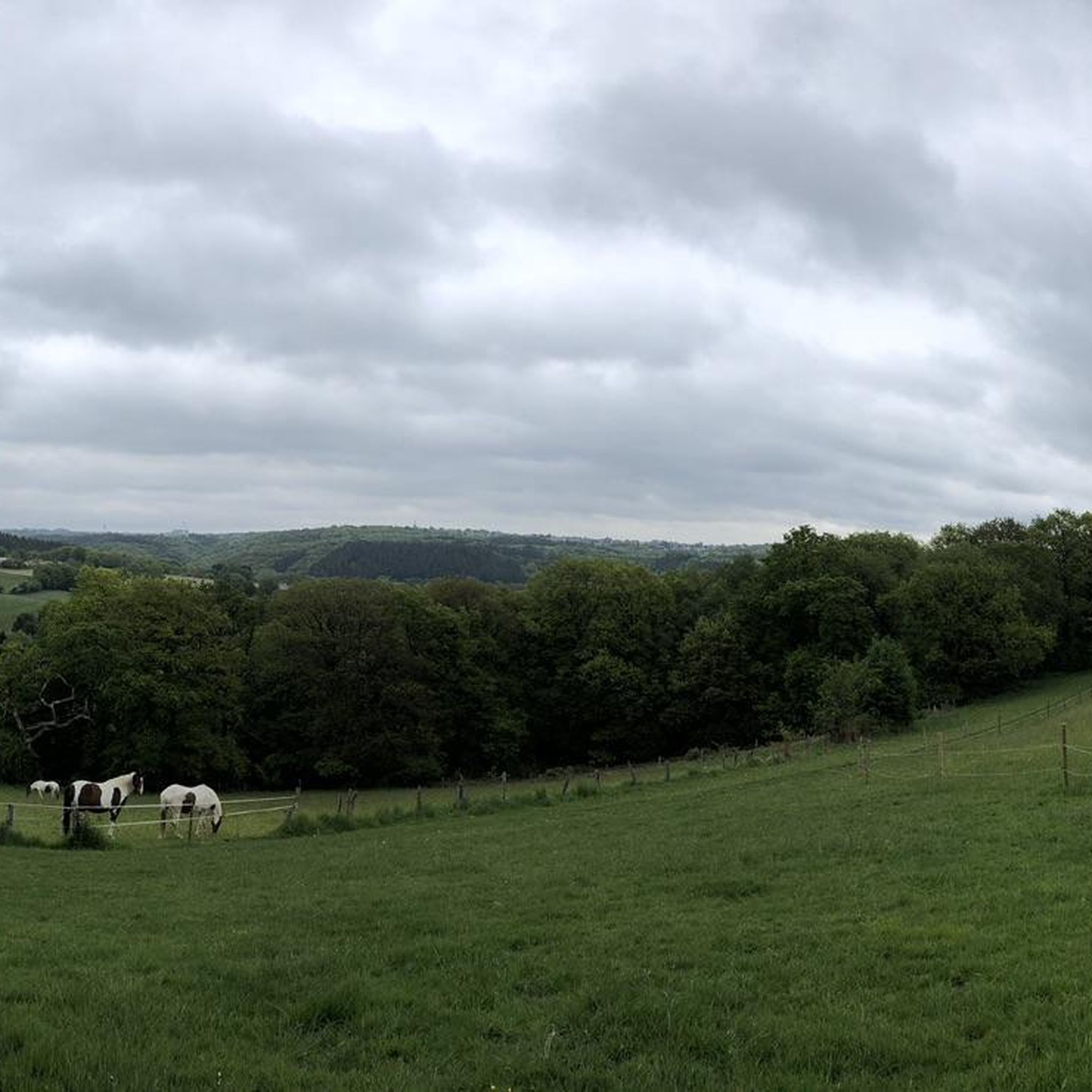
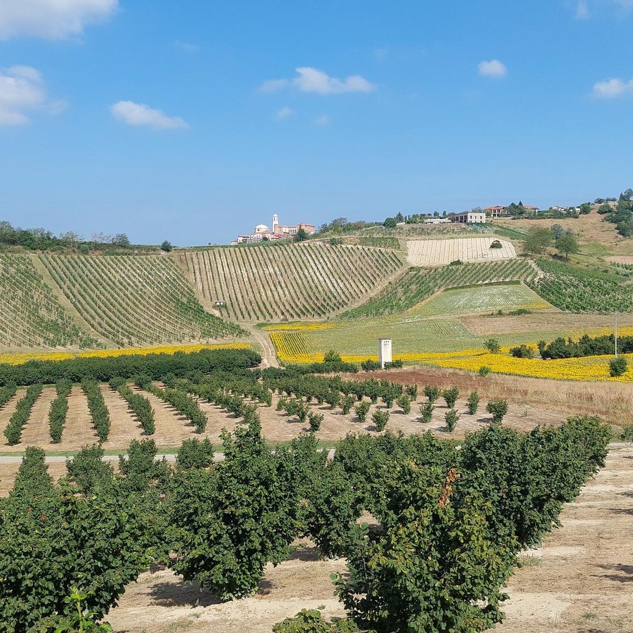
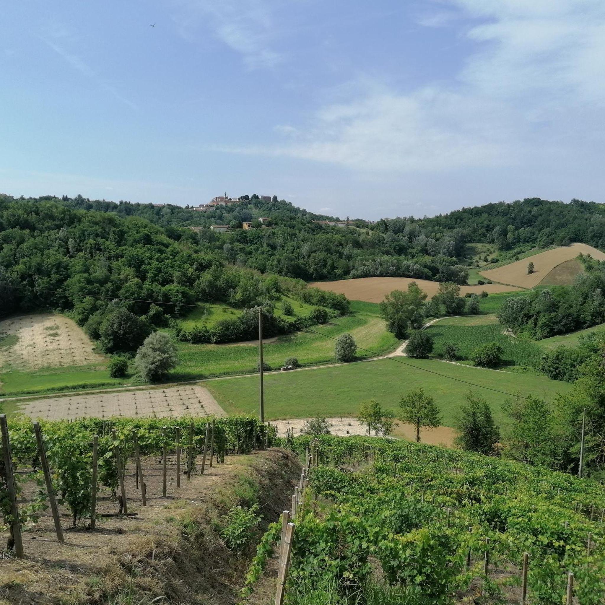
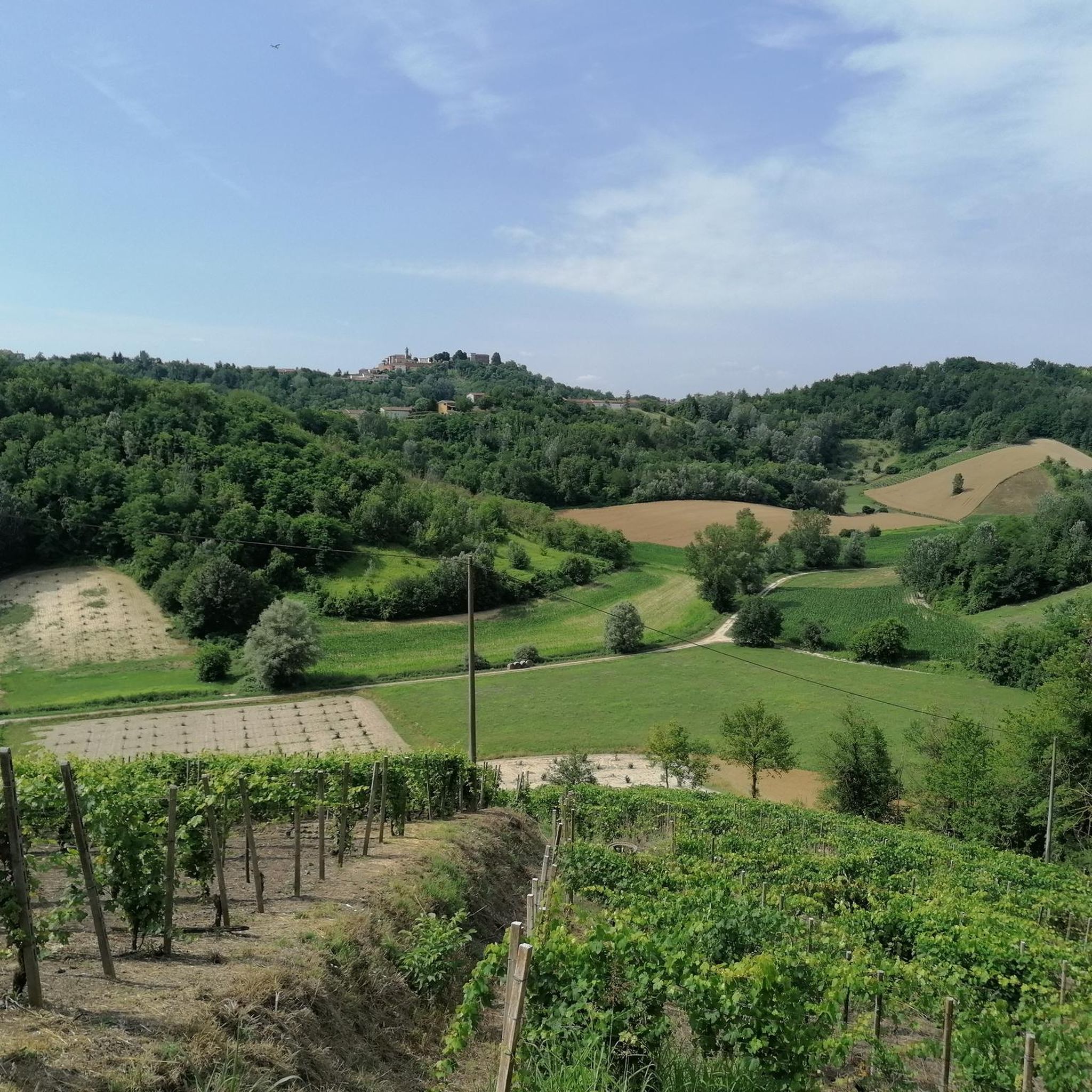
Tips from the Community

The Strada Regione Crena is located in Agliano Terme (AT), a hilly area known for its vineyards and the Percorso della Barbera (Barbera Route), a 13-km loop trail suitable for hiking, passing through vineyard landscapes, asphalt, and dirt trails. It is located in the heart of Monferrato, about 20 km from Asti.
9
0
Regione Montà is a locality/street located in the municipality of Agliano Terme (AT), in Piedmont, a renowned wine-producing area of Monferrato
0
0

A beautiful place. One of those "of the heart" for me. The viewpoint of Piazza Vittorio Emanuele II on the Val Tiglione and the surrounding towns clearly visible on clear days. There is a charging station for e-bikes and wooden tables with benches on site, perfect for taking a break. Magnificent!
0
0
At the highest point of the historic center of the village famous above all for its thermal waters (at Fons Salutis, in the lower part). Near the church also the war memorial, the archconfraternity of San Michele and an interesting panoramic point.
1
0
From Montegrosso center you look towards Agliano. What wonderful places to cycle!
0
0

Unfortunately this like a thousand other places of the heart is not open (understandably) nor visible inside through the windows; a sign also indicates that there is a Roman tombstone inside.
0
0

nice vantage point with truly spectacular views
2
0
Another beautiful road between the rows. From the village it can lead either to the SP59 (via a steep but short descent) or to the hamlet of Montà and then Pasquana (to get here you have to turn right where there is the votive pillar).
1
0
Frequently Asked Questions
How many hiking trails are available around Montaldo Scarampi?
Montaldo Scarampi offers a wide variety of hiking experiences, with over 240 routes available. These include 101 easy trails, 136 moderate routes, and 8 more challenging options, ensuring there's something for every skill level.
What kind of landscapes can I expect to see while hiking in Montaldo Scarampi?
The region is characterized by the picturesque Monferrato hills, a UNESCO World Heritage site. You'll hike through extensive vineyards, hazelnut fields, and vast chestnut forests. Areas like the Val Sarmassa Nature Reserve feature ecologically intact wet broadleaf woods, while the Parco Naturale di Rocchetta Tanaro offers woodland trails with monumental beech trees. On clear days, panoramic views can extend to the distant Alps.
Are there family-friendly hiking options in Montaldo Scarampi?
Yes, there are many easy trails suitable for families, some even accessible with sporty strollers. A great option is the Rocchetta Tanaro Loop, an easy 6 km woodland trail within the Parco Naturale di Rocchetta Tanaro, known for its monumental beech trees. Another shorter, easy choice is the Church of San Giacomo loop from Agliano Terme, which is just over 4.6 km.
Can I bring my dog on the hiking trails around Montaldo Scarampi?
Generally, dogs are welcome on trails in the Montaldo Scarampi region. However, it's always recommended to keep your dog on a leash, especially when passing through agricultural areas like vineyards or near wildlife habitats such as the Urban Oasis La Bula, which hosts various bird species.
Are there many circular hiking routes available?
Yes, many trails in the Montaldo Scarampi area are circular, offering convenient starting and ending points. Popular circular routes include the Barbera Trail Loop, an 11.7 km moderate hike with scenic rural Piedmont views, and the Hiking loop from Agliano Terme, a 9.38 km moderate option.
What natural features or landmarks can I discover on hikes in this region?
Beyond the rolling Monferrato hills and vineyards, you can explore the Val Sarmassa Nature Reserve, home to the Bric Puschera summit, the highest point of the Asti Langa. The Parco Naturale di Rocchetta Tanaro features impressive monumental beech trees. For historical landmarks, consider visiting the grand Costigliole d'Asti Castle or the ancient Collegiate Church of Saint Secondo in Asti.
What do other hikers enjoy the most about hiking in Montaldo Scarampi?
The area is highly rated by the komoot community, with an average score of 4.3 stars from over 350 reviews. Reviewers often praise the diverse terrain, from vineyards to forests, the well-maintained paths, and the stunning panoramic views of the Monferrato hills. The variety of routes catering to different fitness levels is also frequently highlighted.
What is the best time of year to go hiking in Montaldo Scarampi?
The spring and autumn months are generally ideal for hiking in Montaldo Scarampi. Spring brings blooming wildflowers and pleasant temperatures, while autumn offers vibrant foliage in the chestnut forests and vineyard landscapes, along with comfortable hiking conditions. Summers can be warm, but early mornings or late afternoons are still enjoyable.
Are there any longer, more challenging routes for experienced hikers?
Yes, for those seeking a greater challenge, routes like the From Montegrosso d'Asti to Costigliole d'Asti (Trail 310) offer a substantial experience. This route spans 28.1 km with over 580 meters of elevation gain, typically taking nearly 8 hours to complete through the rolling Monferrato hills.
Where can I find parking for hiking trails in Montaldo Scarampi?
Many trailheads in the Montaldo Scarampi area, especially those starting from towns or villages, offer designated parking. For specific routes, it's advisable to check the route details on komoot, as local information often includes parking suggestions near the starting points of popular trails.
Is public transport an option to reach hiking areas?
While Montaldo Scarampi is primarily accessed by car, some larger towns in the region, such as Asti, have train stations and bus services. From these hubs, local buses might connect to smaller villages near trailheads. However, for flexibility and direct access to many rural starting points, a car is generally recommended.
Can I spot any wildlife while hiking in the region?
Yes, the diverse natural environments, particularly in protected areas like the Val Sarmassa Nature Reserve and the Urban Oasis La Bula, offer opportunities for wildlife spotting. The Urban Oasis La Bula, for instance, is known for its variety of bird species, including grey herons, red herons, great white herons, egrets, and bitterns.
Most popular routes around Montaldo Scarampi
Most popular attractions around Montaldo Scarampi

Get inspired with the komoot mobile app


Explore more
Browse the best Hikes in other regions.
