The best walks and hikes around Schwirzheim
4.5
(11882)
41,526
hikers
1,281
hikes
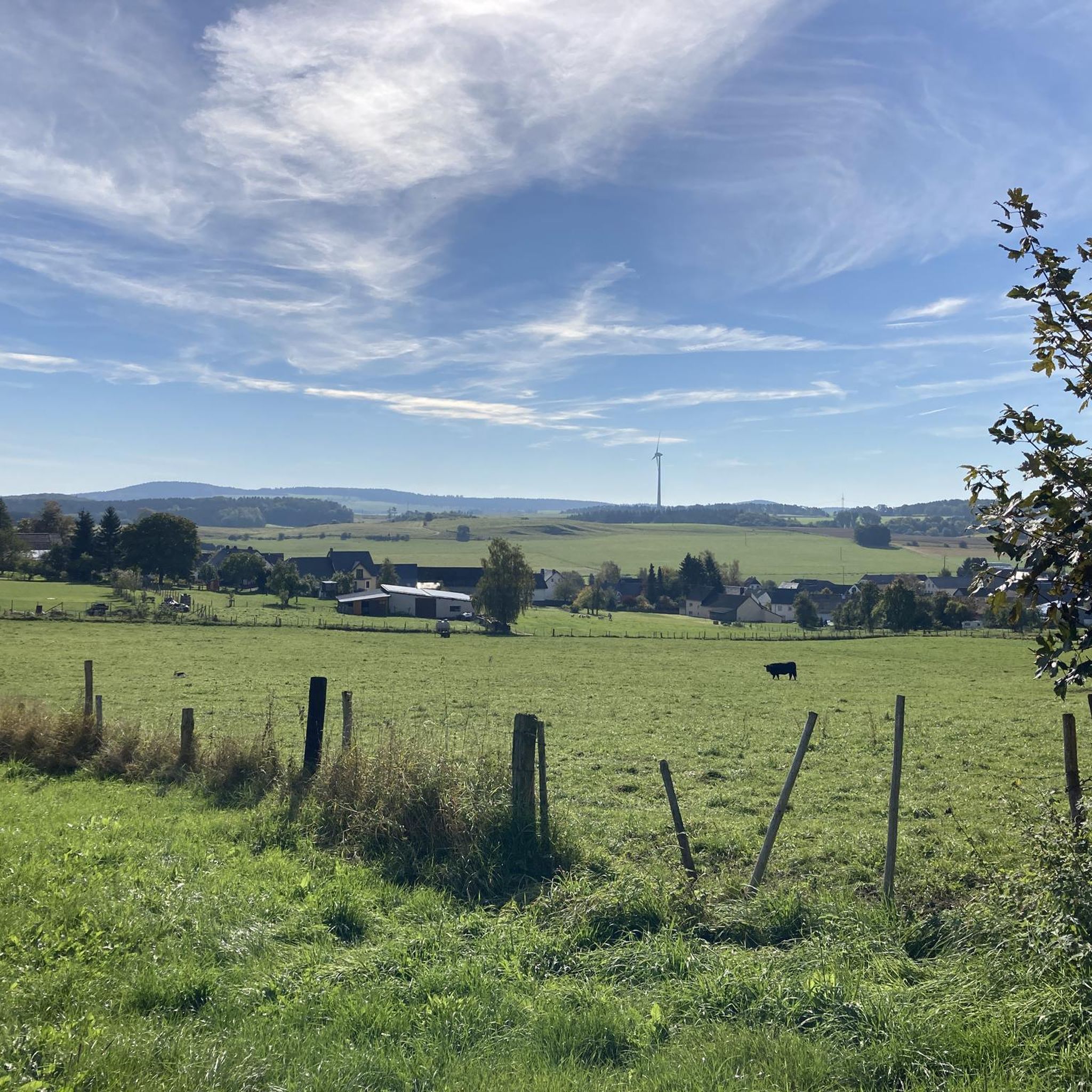
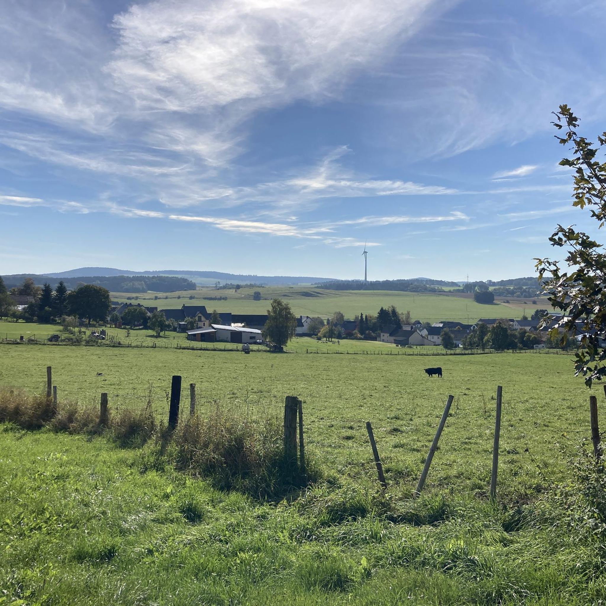
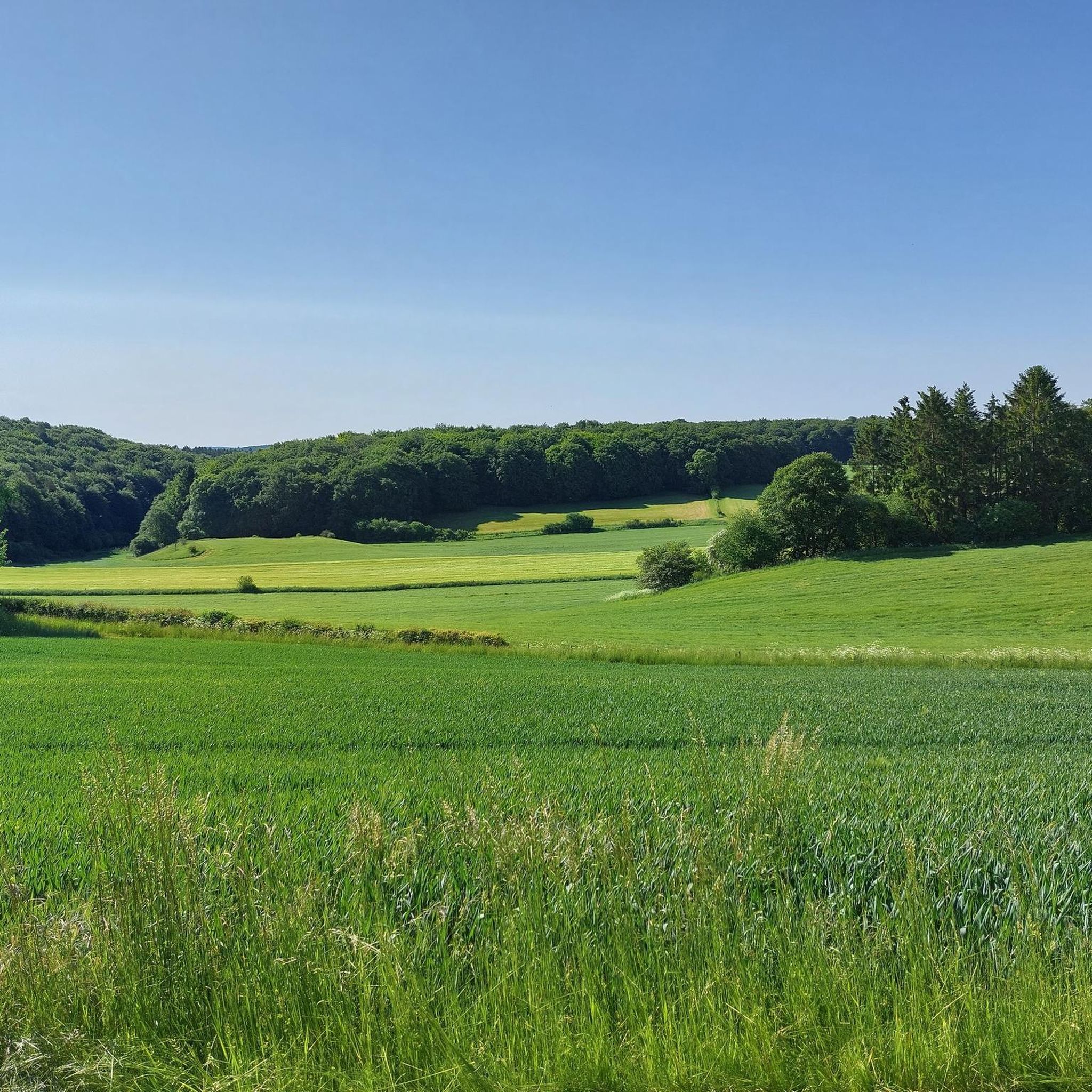
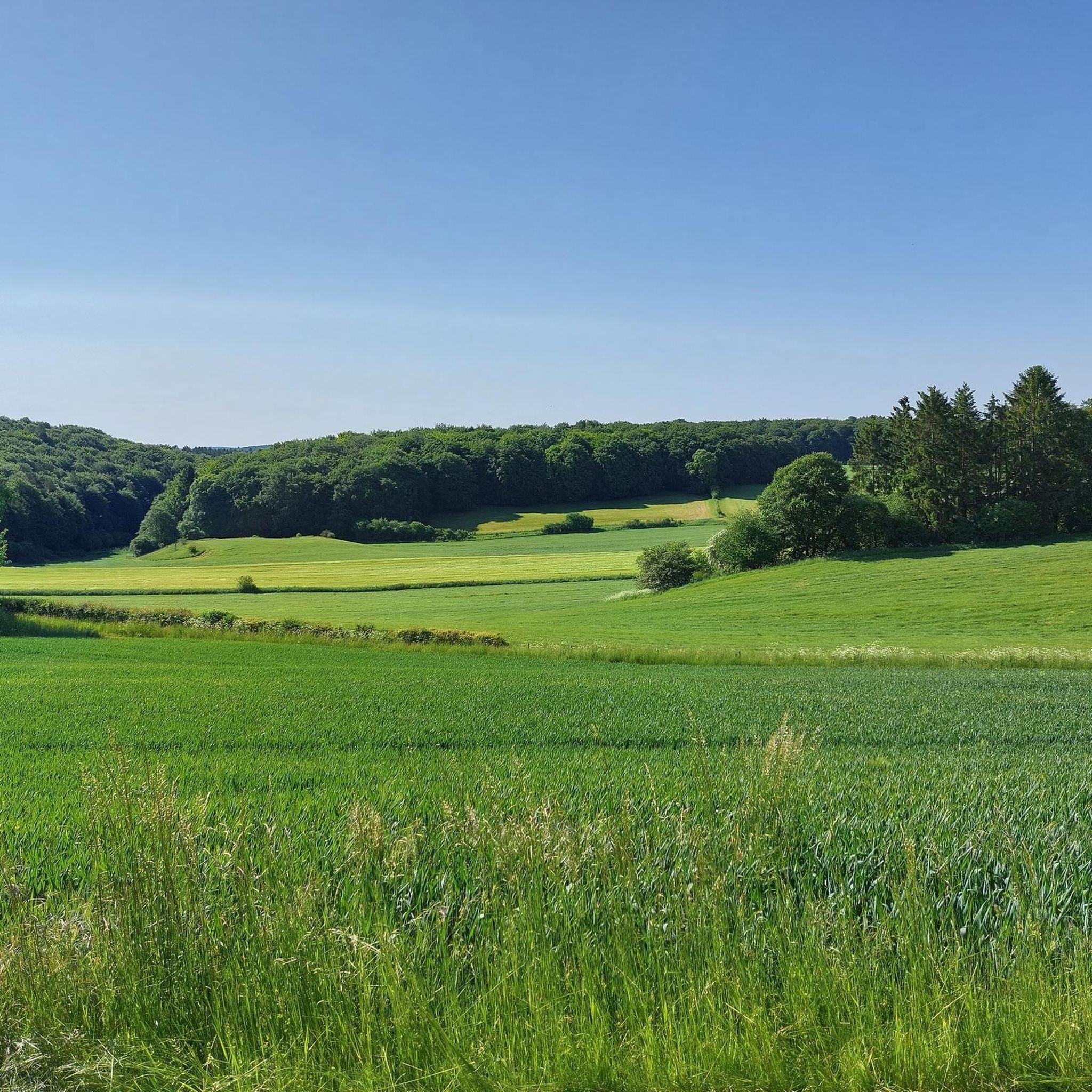
Hiking around Schwirzheim provides access to varied terrain within the Volcanic Eifel region of Germany. The landscape features rolling hills, dense forests, and river valleys. This area is part of the Eifel's largest limestone basin, offering geological insights into Devonian rock layers and limestone grasslands. Hikers can expect a network of trails suitable for various fitness levels.
Best hiking trails around Schwirzheim
- The most popular hiking route is Hartelstein Castle Ruins – Vlierbachtal Valley loop from Schwirzheim, a 5.1…
Last updated: June 27, 2026
4.9
(23)
31
hikers
8.21km
02:14
120m
130m
Moderate hike. Good fitness required. Easily-accessible paths. Suitable for all skill levels.
5.0
(20)
21
hikers
7.47km
02:02
110m
110m
Moderate hike. Good fitness required. Easily-accessible paths. Suitable for all skill levels.

Sign up for free
4.7
(3)
14
hikers
7.95km
02:09
100m
100m
Moderate hike. Good fitness required. Easily-accessible paths. Suitable for all skill levels.
4.0
(3)
11
hikers
5.86km
01:41
140m
140m
Easy hike. Great for any fitness level. Easily-accessible paths. Suitable for all skill levels.
4.3
(3)
10
hikers
11.6km
03:12
190m
190m
Moderate hike. Good fitness required. Easily-accessible paths. Suitable for all skill levels.
Get access to more routes and recommendations from other explorers.
Sign up for free
Already have an account?
Our route recommendations are based on thousands of hikes, rides, and runs completed by other people on komoot.
Start today with a free account
Your next adventure awaits.
Login or Signup

Tips from the Community

A critical report on Konrad Adenauer and the villa in the Vulkaneifel can be found, for example, in Der Spiegel from April 19, 2017, https://www.spiegel.de/geschichte/konrad-adenauer-luxusvilla-in-der-eifel-das-anruechige-geschenk-a-1143642.html
0
0


Well worth the walk. Good mountain boots are recommended. Before this walk, there is quite a bit to read about the place. Have fun, it's a beautiful forest too.
0
0

A particularly beautiful panoramic view when hiking on this mountain "Auf Heilert" near Duppach.
0
0
On Heilert near Duppach is this rest stop with a parking space for the car that is not publicly marked. It is used by locals and mushroom pickers and hikers.
1
0

Very nice section of the route in the Vlierbachtal near Schwirzheim
0
0

The new owner (2019) is not allowed to simply rebuild the ruins https://www.swr.de/swraktuell/rheinland-pfalz/trier/adenauer-villa-waldfaellen-bedarf-authorization-100.html
2
0

"To the west of the Langer Stein (640m) and Seimersberg (662m) we move to the Prümer Kopf. The gradients have so far proven to be very moderate, as they are today. In the surrounding spruce forest we repeatedly discover up to two meter high anthills ( https://www.das-tierlexikon.de/ameise/) and these are often surprisingly close together. We also encounter an unusually large number of hard-working dung beetles; we often have to be very careful not to step on them. (https://www .biologie-schule.de/mistkaefer-steckbrief.php)" https://www.komoot.de/tour/778942841
0
0
Frequently Asked Questions
How many hiking trails are available around Schwirzheim?
Schwirzheim offers an extensive network of nearly 1,300 hiking trails. This includes over 700 easy routes, almost 500 moderate paths, and around 80 more challenging trails, ensuring options for all fitness levels.
What kind of landscapes can I expect to see while hiking in Schwirzheim?
The region around Schwirzheim is characterized by diverse and captivating natural features. You'll encounter rolling hills, lush forests, and crystal-clear river valleys. As part of the Volcanic Eifel and situated within the Eifel's largest limestone basin, the landscape also offers unique geological insights, including Devonian rock layers and limestone grasslands with panoramic views.
Are there any easy hiking trails suitable for beginners or families?
Yes, Schwirzheim has over 700 easy hiking routes. A great option for a relaxed walk is the Hiking loop from Schwirzheim, which is 6.7 km long and leads through pleasant local countryside. Another easy trail is the Heilert Eifel Viewpoint – Duppach Drees Mineral Spring loop from Duppach, offering scenic views and a natural spring.
Can I find circular hiking routes in the Schwirzheim area?
Many of the trails around Schwirzheim are designed as circular routes, allowing you to start and end at the same point. For example, the Hartelstein Castle Ruins – Vlierbachtal Valley loop from Schwirzheim is a popular 8.2 km circular trail that takes you past castle ruins and through a valley. Another excellent choice is the Vlierbachtal Valley loop from Oos, a moderate 7.5 km path with scenic valley views.
What are some notable natural attractions or landmarks to explore near the hiking trails?
The region boasts several interesting natural attractions. You can explore the fascinating Buchenloch Cave or the Millstone Cave at Rother Kopf. For stunning panoramic views, consider visiting the lookout tower on the 'Schwarzer Mann' mountain. Additionally, the Gerolsteiner Dolomiten Rock Formations offer impressive geological sights.
Are there any trails that highlight the geological features of the Volcanic Eifel?
Yes, the area is particularly rich in geological significance. Schwirzheim lies within the Eifel's largest limestone basin, offering insights into Devonian rock layers and limestone grasslands. The landscape around Schwirzheim, Wallersheim, and Büdesheim is known for its Devonian fossils. While not a specific komoot route in this guide, the 'Prüm Land Tour Route 3 - Eastern limestone basin' is highlighted in regional research for its geological interest and panoramic views.
What do other hikers say about the trails in Schwirzheim?
The hiking trails in Schwirzheim are highly regarded by the komoot community, holding an average rating of 4.5 stars from over 10,000 reviews. Hikers often praise the varied terrain, the well-maintained paths, and the beautiful natural scenery, especially the rolling hills and lush forests of the Volcanic Eifel.
Are the hiking trails around Schwirzheim suitable for dogs?
Many trails in natural areas like Schwirzheim are generally dog-friendly, provided dogs are kept on a leash and owners clean up after them. The diverse landscapes of forests and open fields offer plenty of opportunities for walks with your canine companion. Always check local signage for specific regulations regarding dogs in certain protected areas or nature reserves.
Are there any viewpoints along the hiking routes in Schwirzheim?
Yes, the hilly terrain of the Volcanic Eifel provides several opportunities for scenic viewpoints. The Heilert Eifel Viewpoint – Duppach Drees Mineral Spring loop from Duppach specifically mentions a viewpoint. Additionally, the lookout tower on the 'Schwarzer Mann' mountain offers breathtaking panoramic views of the entire region, and the View of Gerolstein from the Munterley is another highly recommended spot.
Is there public transport available to reach hiking trailheads in Schwirzheim?
While specific public transport connections to every trailhead can vary, Schwirzheim is part of a well-connected region. Local bus services often link villages, which may provide access to some starting points. For detailed information on routes and schedules, it's best to consult the regional public transport provider's website or local tourist information centers before your trip.
What is the best season to go hiking in Schwirzheim?
Schwirzheim offers enjoyable hiking experiences throughout much of the year. Spring brings blooming wildflowers and fresh greenery, while autumn showcases vibrant fall foliage across the forests. Summer is ideal for longer days and warmer weather, though some trails might be shaded. Even in winter, with appropriate gear, the snow-covered landscapes can be picturesque, especially on easier, well-maintained paths.
Are there any longer, more challenging routes for experienced hikers?
While the majority of trails are easy to moderate, Schwirzheim does offer around 80 more difficult routes for experienced hikers seeking a challenge. These trails typically feature greater elevation changes and longer distances. For a moderate challenge, consider the Hiking loop from Gondelsheim, which covers nearly 8 km with some elevation gain.
Most popular routes around Schwirzheim
Most popular attractions around Schwirzheim

Get inspired with the komoot mobile app


Explore more
Browse the best Hikes in other regions.
