The best cycling routes around Ula/Ulà Tirso
4.1
(15)
108
riders
27
rides
Touring cycling routes around Ula/Ulà Tirso traverse a landscape characterized by the Tirso River and the expansive Lake Omodeo. The region features a mix of rolling terrain, often passing by historical sites such as those in Fordongianus. Routes frequently include views of the lake and surrounding hills, offering varied gradients for cyclists. The area provides a network of routes suitable for exploring the central Sardinian countryside.
Best touring cycling routes around Ula/Ulà Tirso
- The most popular touring cycling route is…
Last updated: October 11, 2026
4.5
(2)
12
riders
24.9km
01:39
360m
360m
Moderate bike ride. Good fitness required. Mostly paved surfaces. Suitable for all skill levels.
12
riders
32.9km
02:03
350m
350m
Moderate bike ride. Good fitness required. Mostly paved surfaces. Suitable for all skill levels.

3.8
(4)
13
riders
14.8km
01:26
290m
290m
Moderate bike ride. Good fitness required. Mostly paved surfaces. Suitable for all skill levels.
5.0
(2)
8
riders
58.5km
03:50
790m
790m
Hard bike ride. Very good fitness required. You may need to push your bike for some segments of this route.
4.0
(1)
7
riders
54.6km
03:47
1,000m
1,000m
Hard bike ride. Very good fitness required. Mostly paved surfaces. Suitable for all skill levels.
Get access to more routes and recommendations from other explorers.
Already have an account?
Our route recommendations are based on thousands of hikes, rides, and runs completed by other people on komoot.
Start today with a free account
Your next adventure awaits.

Tips from the Community

Good asphalt, great views, challenging climb.
0
0

It's worth a visit, the architecture is interesting and the audio guide gives you detailed information about what you see. Entrance to the baths is included in the price (or vice versa). So if you see one you can also see the other as they are just a few minutes drive or probably 5-10 minutes walk away
1
0
The Tirso is the longest river in Sardinia. It rises as Riu de su Campo north of Bitti, in the province of Nuoro on the east side of the island, flows through the Lago Omodeo reservoir and flows into Oristano on the west side of the island. In the middle reaches it is spanned by the Ponte Ezzu, an old Roman bridge, near Illorai. It is 150 km long and is only navigable in the last few kilometers. The fertile plain north of Oristano through which it flows is called the Tirso plain.
1
0

Piazzetta di Ghilarza, with the Aragonese Tower, a fortress tower built on two floors, and the Church of San Palmerio, with its unmistakable Sardinian Romanesque style perfectly inserted into the surrounding landscape, halfway between urban and rural.
1
0
The rural sanctuaries, typical of the Ghilarza countryside, have very ancient origins, and often preserve the remains of villages that have disappeared or been abandoned for centuries. There are also numerous pre-Nuragic and Nuragic remains in the area.
1
0
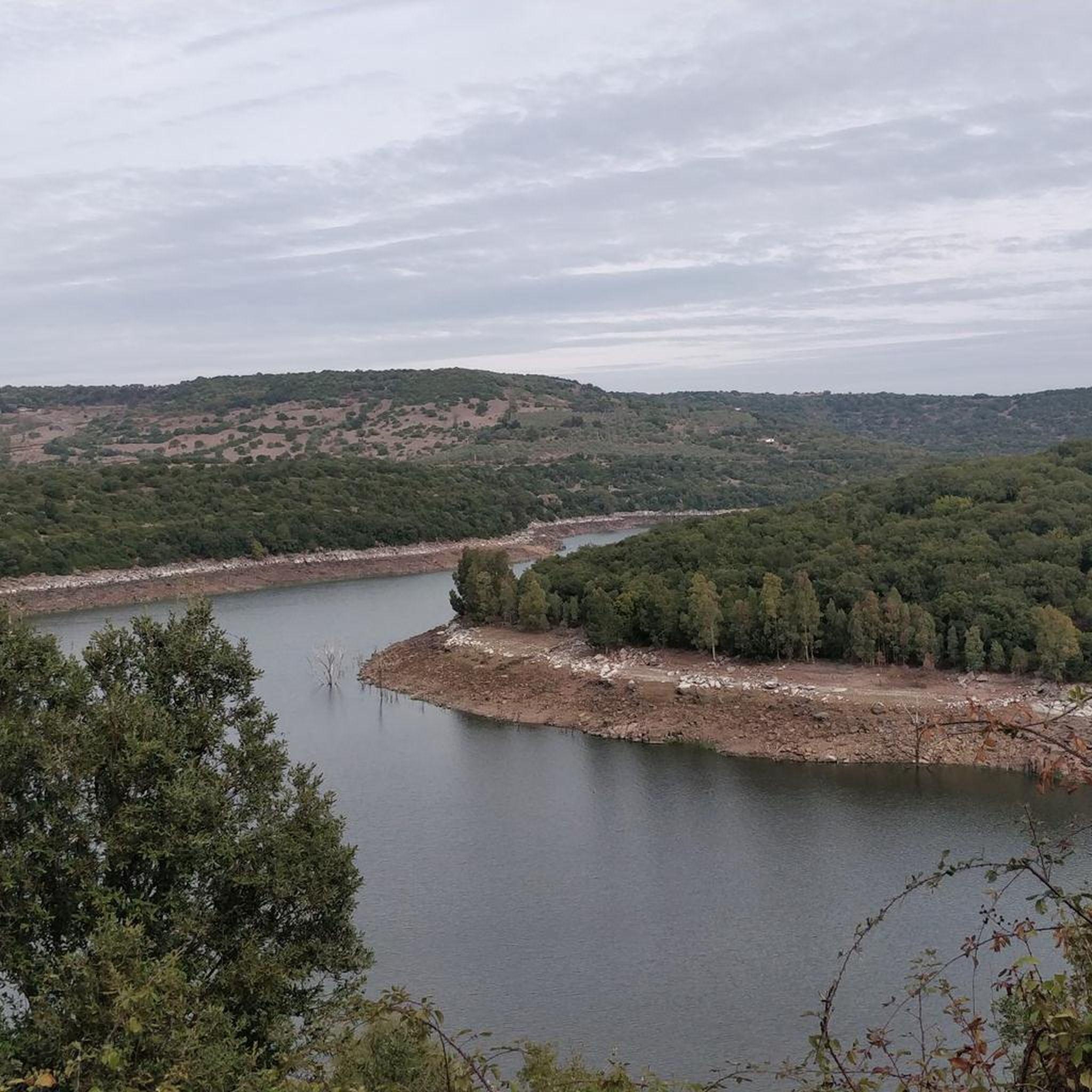
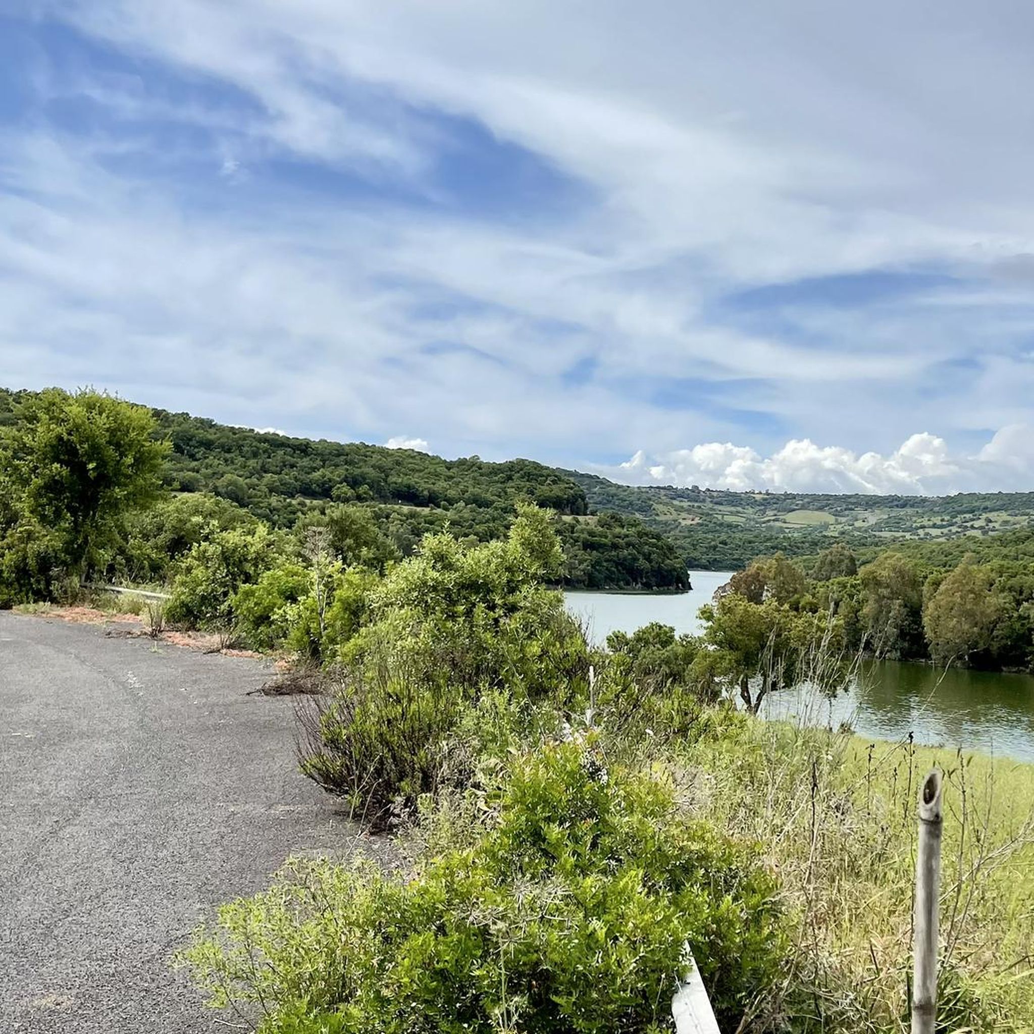
Bridge over the Tirso River, blocked by the Eleonora D'Arborea Dam to form the artificial basin of Lake Omodeo.
1
0
Lake Omodeo is an artificial basin formed with the damming of the Tirso River in 1924 with the Santa Chiara Dam. Today replaced by the new Eleonora D'Arborea dam, the old barrier has been partially submerged.
1
0

The Aragonese House is a splendid example of stately architecture dating back to around the 16th-17th century. The house is divided into two parts and one of these houses a museum. Not far from here stands the church of San Pietro Apostolo.
1
0
Frequently Asked Questions
How many touring cycling routes are available around Ula/Ulà Tirso?
There are over 25 touring cycling routes around Ula/Ulà Tirso, offering a variety of options for exploring the central Sardinian countryside. These routes are highly rated by the komoot community, with an average score of 4.1 stars.
What is the general difficulty level of touring cycling routes in the Ula/Ulà Tirso area?
The routes around Ula/Ulà Tirso offer a mix of difficulty levels. You'll find 3 easy routes, 7 moderate routes, and 15 difficult routes, catering to various experience levels. The terrain often includes rolling hills and varied gradients, especially near the Tirso River and Lake Omodeo.
Are there any family-friendly touring cycling routes in Ula/Ulà Tirso?
Yes, there are easy routes suitable for families. While specific 'family-friendly' designations aren't always explicit, routes with lower difficulty and shorter distances are generally more suitable. Look for the 3 easy routes available in the area for a more relaxed experience.
Are there any circular touring cycling routes around Ula/Ulà Tirso?
Many routes in the region are designed as loops, allowing you to start and finish at the same point. For example, the The dams on the Tirso River and Lake Omodeo – ring tour from Fordongianus is a popular circular option, offering scenic views of the river and lake.
What kind of historical sites or landmarks can I see along the touring cycling routes?
The Ula/Ulà Tirso area is rich in history. Many routes pass by historical sites such as those in Fordongianus. You can explore the Fordongianus Roman Baths or the Aragonese House of Fordongianus – Fordongianus Roman Baths loop from Fordongianus, which takes you through this historic village.
Are there routes that offer views of Lake Omodeo?
Absolutely. Lake Omodeo is a prominent feature of the landscape. Routes like the Ghilarza Novenari and Lake Omodeo Loop provide extensive views of the lake and its surrounding countryside, making for a very scenic ride.
What are some natural attractions or viewpoints to look out for?
Beyond Lake Omodeo, the region features natural monuments and scenic spots. You might encounter the Fontana di Santu Mauru or the Funtana Manna. The Santa Chiara Dam on the Tirso is also a significant landmark offering impressive views.
What is the best time of year to go touring cycling in Ula/Ulà Tirso?
The central Sardinian climate generally offers pleasant cycling conditions for much of the year. Spring and autumn are often ideal, with milder temperatures and less intense sun, making for comfortable rides. Summers can be hot, so early morning or late afternoon rides are recommended if cycling during peak season.
Are there any challenging routes for experienced touring cyclists?
Yes, for those seeking a challenge, there are 15 difficult routes in the Ula/Ulà Tirso area. An example is the Santa Chiara Dam loop from Busache/Busachi, which features significant elevation gain and covers a distance of over 35 km.
Where can I find parking when starting a touring cycling route?
Many routes originate from villages like Fordongianus, Ghilarza, Busachi, or Tadasuni. These villages typically offer public parking options. It's advisable to check local signage upon arrival for specific parking regulations and availability near your chosen starting point.
What do other touring cyclists enjoy most about the Ula/Ulà Tirso area?
The area is highly rated by the komoot community, with an average score of 4.1 stars from over 10 reviews. Reviewers often praise the diverse landscape, including views of the Tirso River and Lake Omodeo, the historical sites, and the variety of routes suitable for different ability levels.
Are there any routes that pass by the Santa Chiara Dam?
Yes, the Santa Chiara Dam is a notable landmark in the region. You can cycle routes that specifically feature it, such as the challenging Santa Chiara Dam loop from Tadasune/Tadasuni, which offers extensive views of the dam and surrounding areas.
Most popular attractions around Ula/Ulà Tirso

Get inspired with the komoot mobile app


Explore more
Browse the best Cycling routes in other regions.
