The best walks and hikes around Zrofolliu/Zerfaliu
4.4
(14)
75
hikers
8
hikes
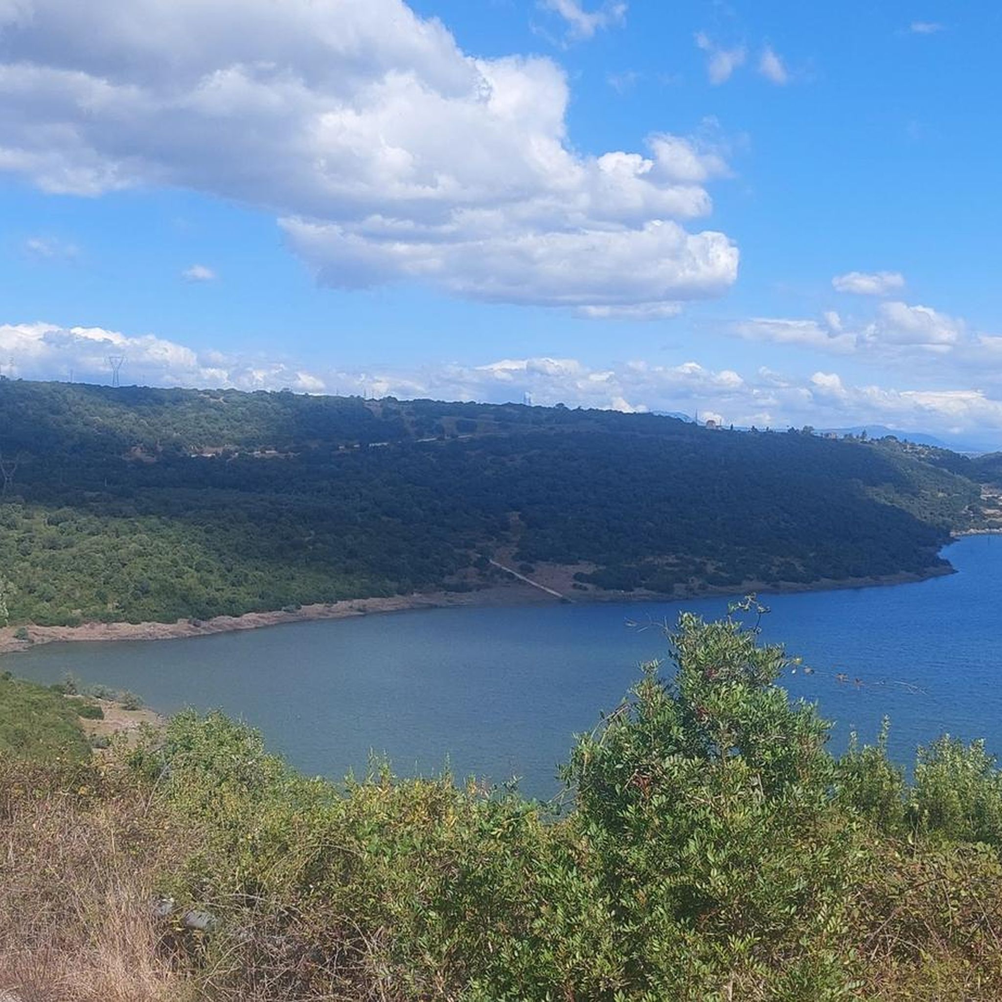
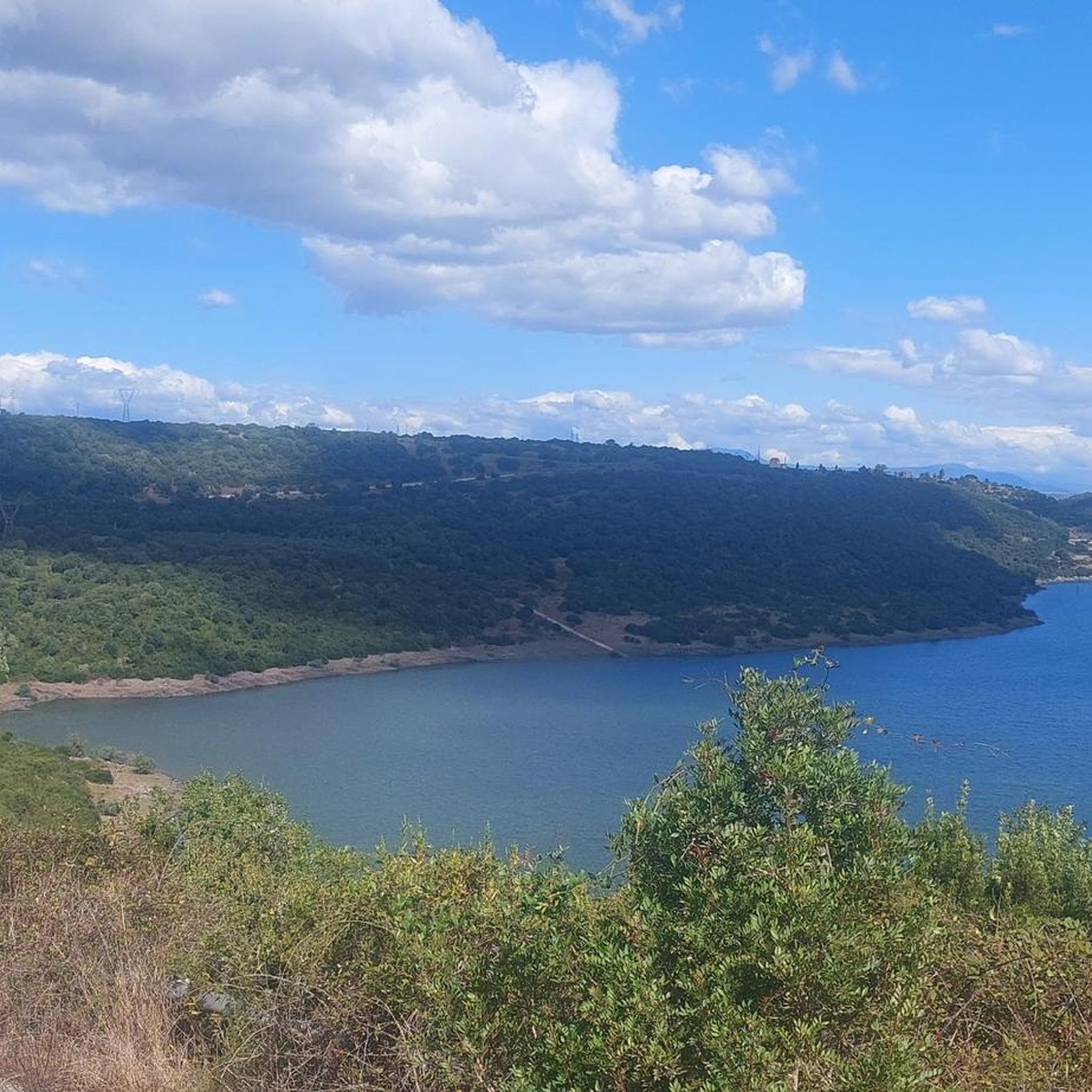
Hiking around Zrofolliu/Zerfaliu offers a blend of natural and historical routes. The region features diverse itineraries that combine natural landscapes with cultural experiences. Terrain is generally accessible, with elevations reaching a maximum of 203 meters, making it suitable for various walking experiences. Trails often meander through local environments, connecting natural areas with historical sites.
Best hiking trails around Zrofolliu/Zerfaliu
- The most popular hiking route is Casa Aragonese – Camper Area Near Roman Baths loop from Fordongianus, a 8.8 miles…
Last updated: July 8, 2026
4.8
(4)
22
hikers
14.2km
04:02
320m
320m
Moderate hike. Good fitness required. Easily-accessible paths. Suitable for all skill levels.
4.0
(3)
8
hikers
6.35km
01:41
70m
70m
Easy hike. Great for any fitness level. Easily-accessible paths. Suitable for all skill levels.

Sign up for free
4.3
(4)
12
hikers
Moderate hike. Good fitness required. Easily-accessible paths. Suitable for all skill levels.
5
hikers
4.37km
01:12
70m
70m
Easy hike. Great for any fitness level. Easily-accessible paths. Suitable for all skill levels.
5
hikers
Easy hike. Great for any fitness level. Easily-accessible paths. Suitable for all skill levels.
Get access to more routes and recommendations from other explorers.
Sign up for free
Already have an account?
Our route recommendations are based on thousands of hikes, rides, and runs completed by other people on komoot.
Start today with a free account
Your next adventure awaits.
Login or Signup


Tips from the Community

Photo of the area inside a gate but unfortunately the nuraghe is not visible due to the dense vegetation that has grown over it...
0
0

In 1857, Giovanni Spano published an article that included a graphic overview of the monument. The canon describes and interprets the sacred well in a rather convoluted manner: it classifies it as a nuragic structure, but is unable to identify its true function, considering it a prison due to its similarity to other findings. In 1860, La Marmora, in his Itinéraire, praised the monument and compared it "to the Treasury of Atreus at Mycenae, Greece, described and illustrated by James Stuart." In the early years of the 20th century, other sacred wells in Sardinia were investigated: Antonio Taramelli, an archaeologist of the first half of the 20th century, finally divined their function. His work is rounded out by Raffaele Pettazzoni, who, in his book on the beliefs of the ancient Proto-Sardinians, describes the cult of water, also drawing comparisons outside the island.
2
0
«The country church of St. Christina, located in the territory of Paùli-Latìno, a quarter (4 km) from this town, also belongs to this priory (of Bonarcado), while it is two hours from Bonarcado. Nearby there are some casipole for the novenanti who compete there on the first of May. The main festival falls with great frequency on the 10th of the same and a pious procession to the fountain named after the saint, which has a peculiar shape and structure. On July 24th there is a memorial day on which the glorious death of the same is commemorated.»
2
0
The Nuragic Sanctuary of Santa Cristina is an archaeological area located in the municipality of Paulilatino, in the province of Oristano, in central-western Sardinia and in the southern part of the Abbasanta plateau. The site takes its name from the country church of Santa Cristina, which is located nearby.
2
0

very beautiful and can also be visited inside, a bit abandoned to itself
0
0

It’s directly located next to the asphalt street. About 2 min walk from the hiking path away
1
0

Once a strategic fortress with eight towers, which defended protohistoric populations for millennia, the Lugherras nuraghe is today one of the most impressive and best preserved nuragic complexes in central Sardinia and one of the most evocative in the Paulilatino area.
0
0
Fully equipped space. Unfortunately not serviced in February..
1
0
Frequently Asked Questions
What kind of hiking experiences can I expect in Zrofolliu/Zerfaliu?
Zrofolliu/Zerfaliu offers a unique blend of natural beauty and historical routes. You can expect trails that meander through pristine nature, alongside cultural pathways that explore the village's rich history, including its narrow streets and ancient sites. The terrain is generally accessible, making it suitable for various walking experiences.
Are there any easy hiking trails suitable for beginners or casual walkers?
Yes, Zrofolliu/Zerfaliu has several easy trails. For instance, the Casa Aragonese – Roman Baths of Fordongianus loop from Fordongianus is an easy 4.0-mile (6.4 km) trail that takes about 1 hour 42 minutes to complete. Another easy option is the Casa Aragonese – Roman Baths of Fordongianus loop from Fordongianus, which is 4.4 miles (7.1 km) long.
What historical sites or landmarks can I see while hiking in Zrofolliu/Zerfaliu?
Hiking in Zrofolliu/Zerfaliu allows you to discover several historical landmarks. You can explore sites like the Fordongianus Roman Baths, the Nuraghe Santa Cristina Archaeological Site, and Casa Aragonese. Many trails, such as the Casa Aragonese – Camper Area Near Roman Baths loop from Fordongianus, connect these significant historical points.
Are there any circular hiking routes in the area?
Yes, many of the trails in Zrofolliu/Zerfaliu are designed as loops, offering convenient circular routes. Examples include the Santa Cristina Country Church – Nuraghe Losa loop from Pozzo di Santa Cristina and the Santa Cristina Country Church loop from Pozzo di Santa Cristina.
What do other hikers say about the trails in Zrofolliu/Zerfaliu?
The hiking routes in Zrofolliu/Zerfaliu are highly rated by the komoot community, with an average score of 4.3 stars from 10 reviews. Hikers often praise the blend of natural landscapes with historical and cultural elements, making for a diverse and engaging experience.
Is Zrofolliu/Zerfaliu suitable for family-friendly hikes?
Given the relatively modest elevation (maximum 203 meters) and the presence of easy trails, Zrofolliu/Zerfaliu is well-suited for family-friendly hikes. The accessible terrain and cultural routes offer engaging experiences for various ages and fitness levels.
What is the best time of year to go hiking in Zrofolliu/Zerfaliu?
While specific seasonal recommendations are not detailed, the accessible terrain suggests that hiking can be enjoyed for much of the year. Spring and autumn typically offer pleasant temperatures for exploring the natural and historical routes without the intense heat of summer.
Are there options for longer, more moderate hikes in Zrofolliu/Zerfaliu?
Yes, for those looking for a longer excursion, the Casa Aragonese – Camper Area Near Roman Baths loop from Fordongianus is a moderate 8.8-mile (14.2 km) trail that takes approximately 4 hours to complete. Another moderate option is the Santa Cristina Country Church – Nuraghe Losa loop from Pozzo di Santa Cristina, spanning 9.2 miles (14.8 km).
How many hiking trails are available in Zrofolliu/Zerfaliu?
There are 6 hiking trails documented in Zrofolliu/Zerfaliu, offering a range of experiences from easy walks to moderate excursions through natural and historical landscapes.
Can I combine hiking with cultural exploration in Zrofolliu/Zerfaliu?
Absolutely. Zrofolliu/Zerfaliu is known for its 'cultural routes' that allow hikers to delve into the village's rich history. You can explore the narrow streets of the historic center and discover its architecture, seamlessly blending physical activity with cultural immersion.
Are there any specific natural features or landscapes to look out for?
The region is described as a 'paradise for hikers,' featuring trails that meander through 'breathtaking landscapes and pristine nature.' While specific named peaks are not prominent, the natural trails offer opportunities to immerse yourself in the local environment, enjoying scenic routes rich in natural elements.
Most popular attractions around Zrofolliu/Zerfaliu

Get inspired with the komoot mobile app


Explore more
Browse the best Hikes in other regions.
