The best walks and hikes around Schwand im Innkreis
4.5
(1505)
9,332
hikers
502
hikes
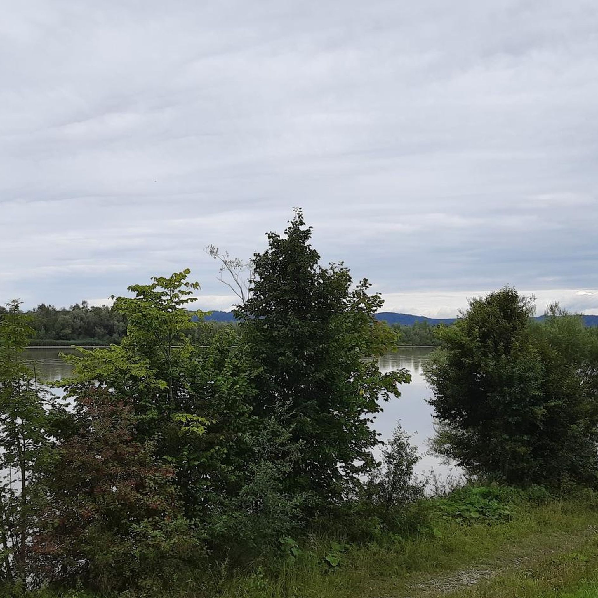
Hiking around Schwand im Innkreis features a landscape characterized by rolling hills, lush forests, and the scenic banks of the Inn River. The region offers varied terrain, from gentle riverside paths to more elevated routes through wooded areas. This area provides a diverse network of trails suitable for different skill levels.
Best hiking trails around Schwand im Innkreis
- The most popular hiking route is Scenic Forest Path – Inn River Cycle Path loop from Ratzlburg, a 3.6 miles (5.7…
Last updated: July 1, 2026
4.5
(15)
39
hikers
5.50km
01:28
60m
60m
Easy hike. Great for any fitness level. Easily-accessible paths. Suitable for all skill levels.
4.5
(13)
35
hikers
Easy hike. Great for any fitness level. Easily-accessible paths. Suitable for all skill levels.

Sign up for free
4.7
(3)
13
hikers
Moderate hike. Good fitness required. Easily-accessible paths. Suitable for all skill levels.
5.0
(2)
16
hikers
6.19km
01:34
10m
10m
Easy hike. Great for any fitness level. Easily-accessible paths. Suitable for all skill levels.
3.3
(3)
21
hikers
5.02km
01:17
10m
10m
Easy hike. Great for any fitness level. Easily-accessible paths. Suitable for all skill levels.
Get access to more routes and recommendations from other explorers.
Sign up for free
Already have an account?
Our route recommendations are based on thousands of hikes, rides, and runs completed by other people on komoot.
Start today with a free account
Your next adventure awaits.
Login or Signup
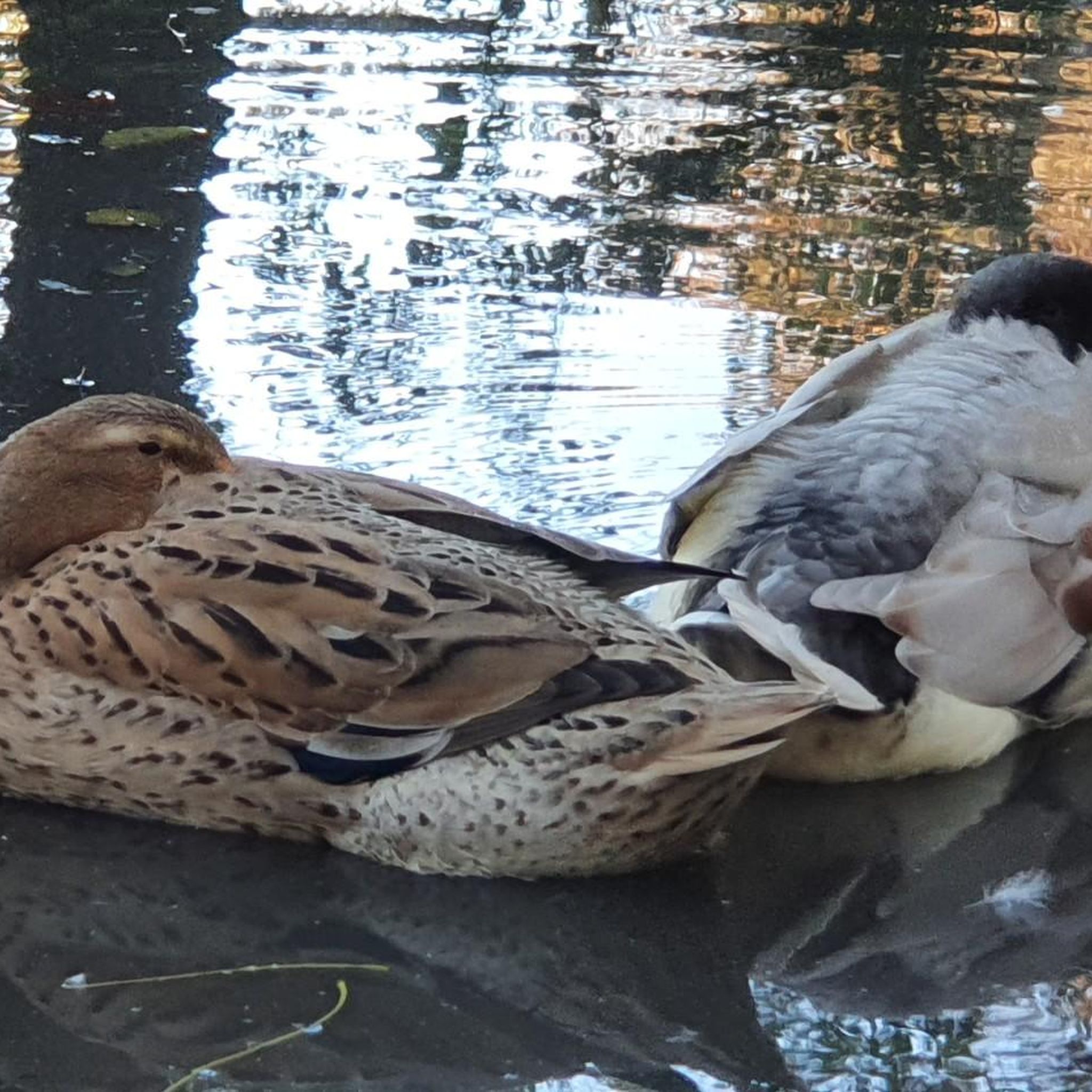
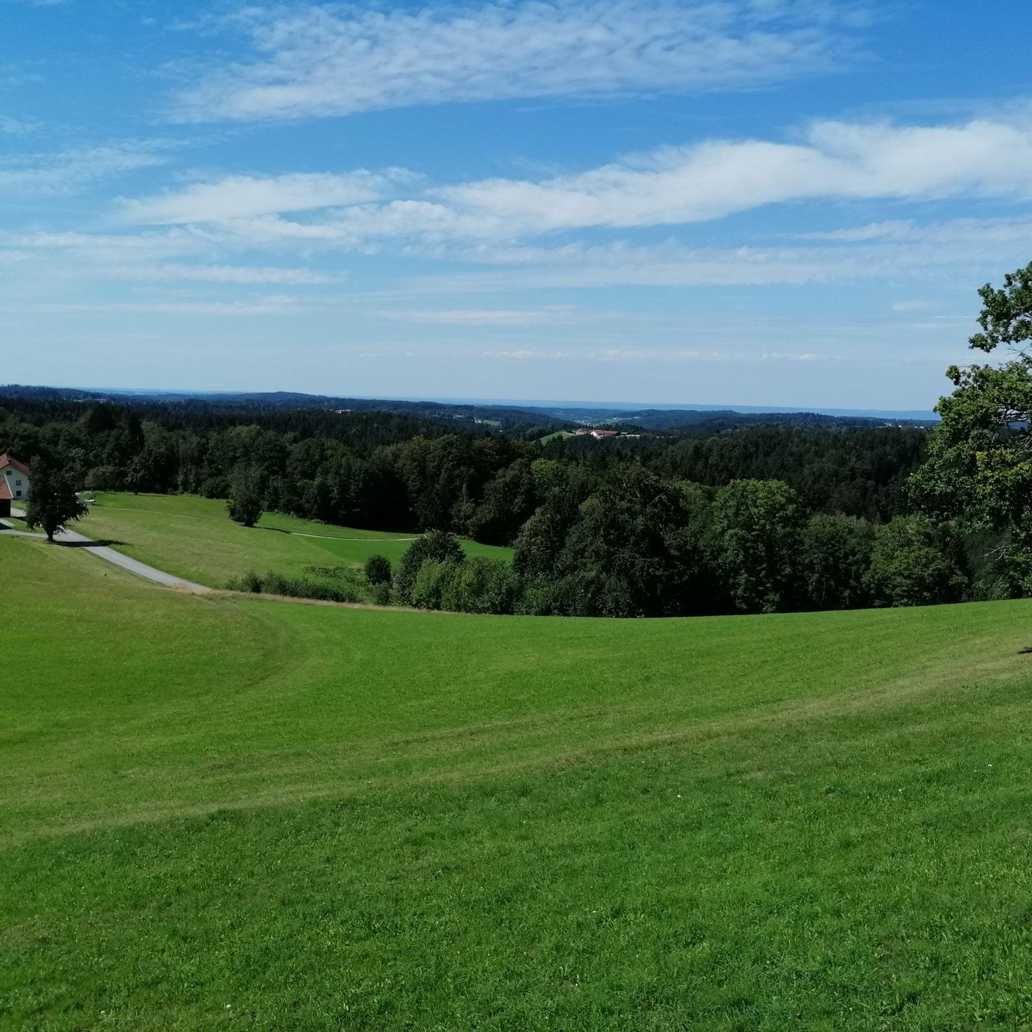
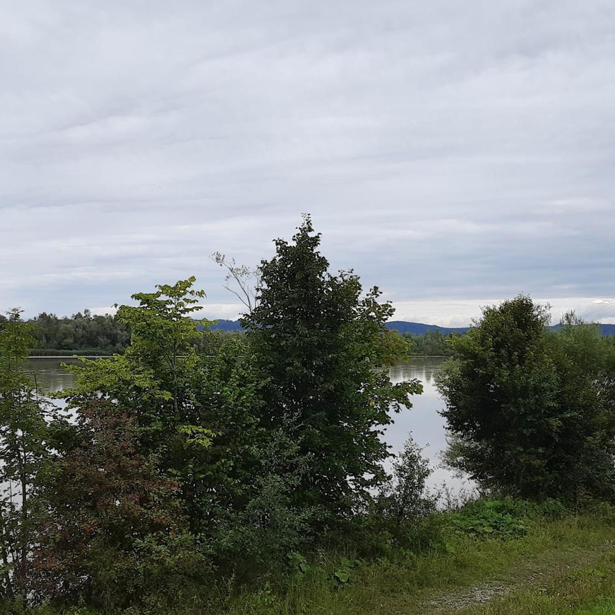
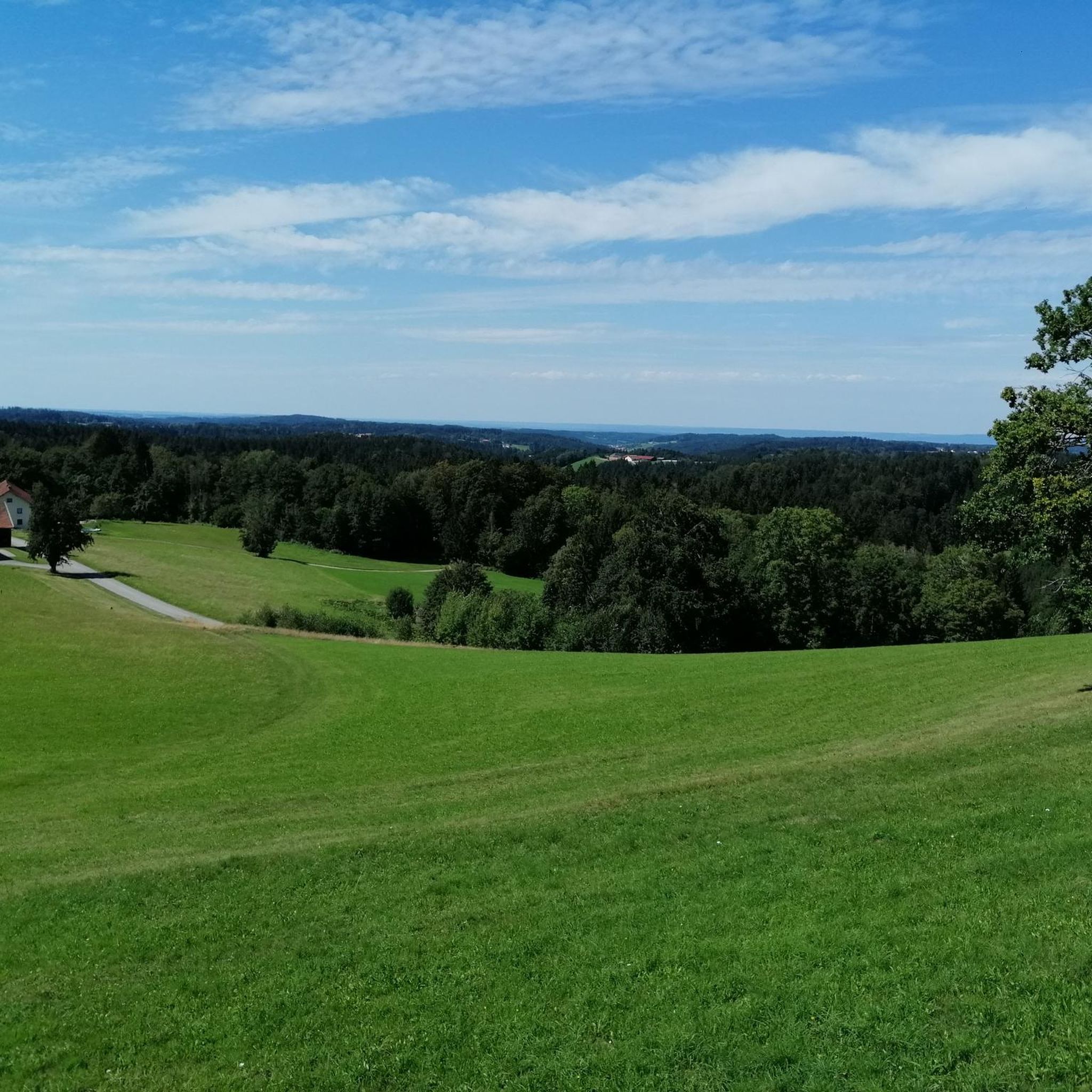
Tips from the Community

The Wirt z'Bergham has become a regular spot for me when I'm cycling nearby. Super nice terrace, super good food, very friendly hosts, and the prices are also very fair. Always very, very happy to come back. Tip: There is often live music in the evening.
0
0

A wonderful viewpoint with seating area, offering a view of the Salzach estuary.
0
0

Extremely steep and very slippery ascent due to fallen leaves
0
0

Very good food and friendly staff
0
0


Frequently Asked Questions
What kind of hiking terrain can I expect around Schwand im Innkreis?
The region around Schwand im Innkreis is characterized by rolling hills, lush forests, and the scenic banks of the Inn River. You'll find varied terrain, from gentle riverside paths perfect for leisurely strolls to more elevated routes through wooded areas, offering diverse experiences for different skill levels.
Are there many hiking trails available in the Schwand im Innkreis area?
Yes, there are numerous hiking opportunities. The Schwand im Innkreis area boasts over 490 hiking routes, ranging from easy riverside walks to more challenging forest paths. This extensive network ensures there's a suitable trail for almost every preference.
Are there any circular hiking routes in Schwand im Innkreis?
Many trails in the region are designed as circular routes, allowing you to start and end at the same point. For example, the Scenic Forest Path – Inn River Cycle Path loop from Ratzlburg offers a pleasant 3.6-mile loop along the Inn River. Another option is the Gstetten Lake near Bergham – Seibersdorfer Lacke loop from Obergstetten, which takes you through varied terrain around lakes.
What are some natural attractions or points of interest I can see while hiking?
While hiking, you can enjoy the picturesque Inn River scenery, which often features steep rock faces and expansive views. The broader region also offers sights like the Salzach Estuary Bird Sanctuary (Nature Reserve). You might also encounter small lakes, idyllic villages, and dense forests, especially in areas like the Sauwald.
Are there any family-friendly hiking options in Schwand im Innkreis?
Yes, the region offers many easy trails suitable for families. The gentle riverside paths along the Inn River are particularly good for all ages. Routes like the Inn River Cycle Path – Scenic Forest Path loop from Inn-Salzachblick provide pleasant, easy walks through scenic forests and along the river, perfect for a family outing.
What is the best time of year to go hiking in Schwand im Innkreis?
The best seasons for hiking in the Schwand im Innkreis district are generally spring and autumn. During these times, the weather is mild, and nature is at its most vibrant, with blooming flowers in spring and colorful foliage in autumn, making for very scenic walks.
What do other hikers enjoy most about the trails around Schwand im Innkreis?
The hiking trails around Schwand im Innkreis are highly rated by the komoot community, with an average score of 4.5 stars from over 1300 reviews. Hikers often praise the diverse landscape, including the serene Inn River banks, the peaceful forest paths, and the well-maintained network of trails suitable for various abilities.
Are there any viewpoints or panoramic trails in the area?
Yes, the region is known for its rolling hills, which often provide excellent viewpoints. The Sauwald Panorama Trail, though not directly listed in the routes, is a well-known feature of the broader Schärding district, offering extensive views of the hilly countryside and even glimpses of the Bavarian Forest. The Haugstein Summit, at 895 meters, is the highest point in the Sauwald and offers panoramic vistas.
Can I find easy hikes around Schwand im Innkreis?
Absolutely. Over 300 of the routes in the area are classified as easy. Many of these are gentle strolls along the Inn River or through less challenging forest sections. The Scenic Forest Path – Inn River loop from Ranshofen is an easy 3.1-mile route with minimal elevation gain.
Are there any specific attractions or towns worth visiting near the hiking trails?
Beyond the natural beauty, the historic Baroque town of Schärding is a notable attraction nearby. After your hike, you can stroll through its narrow alleys, admire the magnificent townhouses, and enjoy cafes in the town square. Other points of interest include Burghausen Town Square and Burghausen Castle, which are also within reach.
What kind of elevation changes can I expect on the trails?
The trails around Schwand im Innkreis generally feature rolling hills, meaning you'll encounter moderate elevation changes rather than steep mountain climbs. Many riverside paths are relatively flat, while routes through the forests and hills will have more gradual ascents and descents. For instance, the Scenic Forest Path – Inn River Cycle Path loop from Ratzlburg has an elevation gain of about 59 meters.
Are there any lakes or water features to explore on hikes?
Yes, the Inn River is a prominent feature, offering many scenic routes along its banks. Additionally, you can find hikes that lead around local lakes. The Gstetten Lake near Bergham – Seibersdorfer Lacke loop from Obergstetten is a good example, taking you through varied terrain around lakes. The Waldsee Simbach am Inn is another lake highlight in the vicinity.
Most popular routes around Schwand im Innkreis
Most popular attractions around Schwand im Innkreis

Get inspired with the komoot mobile app


Explore more
Browse the best Hikes in other regions.
