The best walks and hikes around Agliana
4.4
(2126)
8,888
hikers
507
hikes
Hiking around Agliana offers diverse landscapes in the heart of Tuscany, characterized by a rich natural environment. The region features protected areas like the Querciola Nature Protected Area, which includes the Lakes of Zela and Bigiana. Agliana's territory is defined by several streams, including the Bure, Calice, Ombrone, and Brana, contributing to lush green spaces. The area also provides access to the more rugged terrain of the nearby Pistoia Apennines and picturesque Tuscan hills.
Best hiking trails around Agliana
- The…
Last updated: October 12, 2026
4.0
(2)
23
hikers
10.6km
02:40
20m
20m
Moderate hike. Good fitness required. Easily-accessible paths. Suitable for all skill levels.
19
hikers
Easy hike. Great for any fitness level. Easily-accessible paths. Suitable for all skill levels.

3.0
(1)
14
hikers
Easy hike. Great for any fitness level. Easily-accessible paths. Suitable for all skill levels.
4.7
(3)
11
hikers
15.1km
04:34
510m
510m
Moderate hike. Good fitness required. Easily-accessible paths. Suitable for all skill levels.
5.0
(5)
11
hikers
10.9km
03:11
290m
290m
Moderate hike. Good fitness required. Easily-accessible paths. Suitable for all skill levels.
Get access to more routes and recommendations from other explorers.
Already have an account?
Our route recommendations are based on thousands of hikes, rides, and runs completed by other people on komoot.
Start today with a free account
Your next adventure awaits.
Tips from the Community

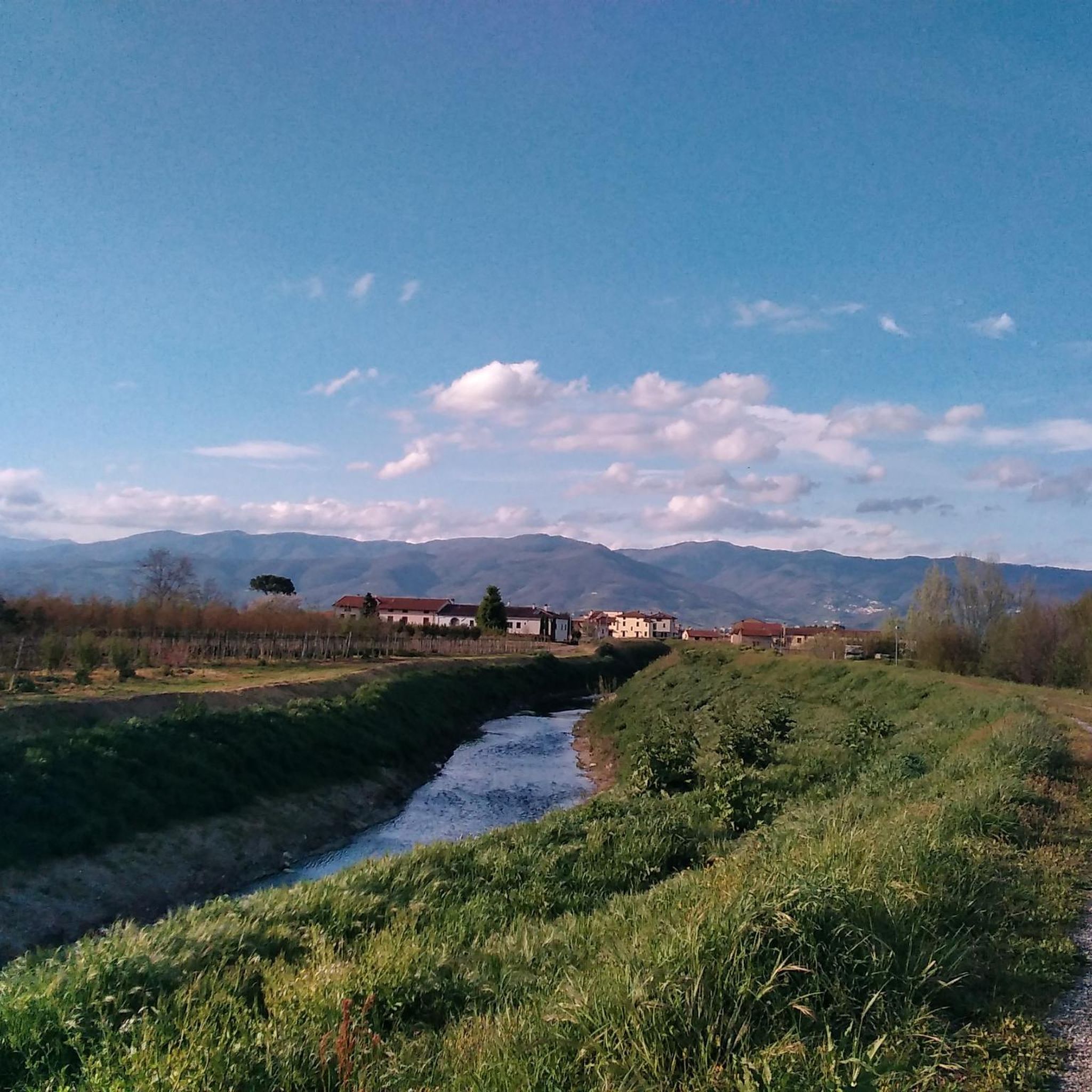
The Bure stream is a watercourse in Tuscany that flows through the province of Pistoia and is part of the Ombrone Pistoiese basin (and therefore the Arno). Main characteristics Origin: It originates in the Candeglia area (north of Pistoia) from the confluence of several spring branches known as the "Buri", including the Bure di Baggio and the Bure di Santomoro. Course: It flows through the valleys and hills north of Pistoia, watering several localities and hilly villages before descending into the valley and merging into the hydrographic system of the Ombrone Pistoiese (along with other streams such as the Brana and the Agna). Territory and trails: The area is known for the water hiking route called Le Vie delle Buri, an itinerary that connects the historic villages of the valley (such as Valdibure, Villa di Baggio, and Santomoro).
0
0
The Bure stream is a watercourse in Tuscany that flows through the province of Pistoia and is part of the Ombrone Pistoiese basin (and therefore the Arno). Main characteristics Origin: It originates in the locality of Candeglia (north of Pistoia) from the confluence of several spring branches known as the "Buri", including the Bure di Baggio and the Bure di Santomoro. Course: It flows through the valleys and hills north of Pistoia, passing through several localities and hillside villages before descending into the valley and flowing into the Ombrone Pistoiese hydrographic system (along with other streams such as the Brana and the Agna). Territory and trails: The area is known for the water hiking trail called Le Vie delle Buri, an itinerary that connects the historic villages of the valley (such as Valdibure, Villa di Baggio, and Santomoro).
0
0
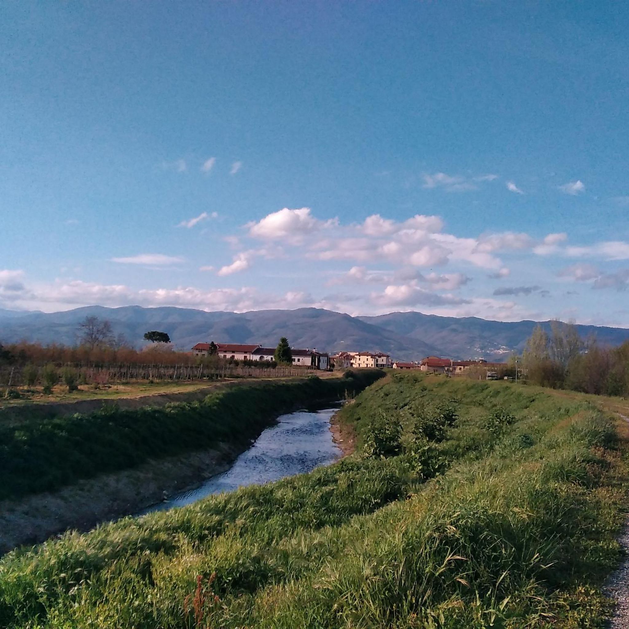
1Alfredo Binda Cycle Path in Prato (Tuscany) It is a section of the Prato river cycle network that crosses the Prato countryside along the waterways
0
0
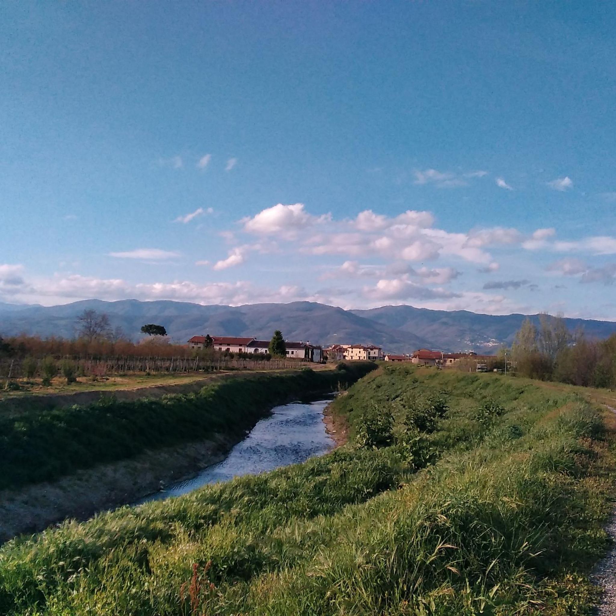
The trails of Monte Javello and its famous Javello Beeches form a network of hiking and MTB routes located in the Prato Apennines, between the municipalities of Montemurlo and Vaiano, in Tuscany. The main trail for hikers is the CAI n. 14 trail of Prato, which winds through dense chestnut and ancient beech woods. This area combines natural beauty with a deep historical memory linked to the partisan Resistance of the Second World War.
0
0

Votive tabernacle dedicated to the Madonna of Isola Calderai - 1905
0
0

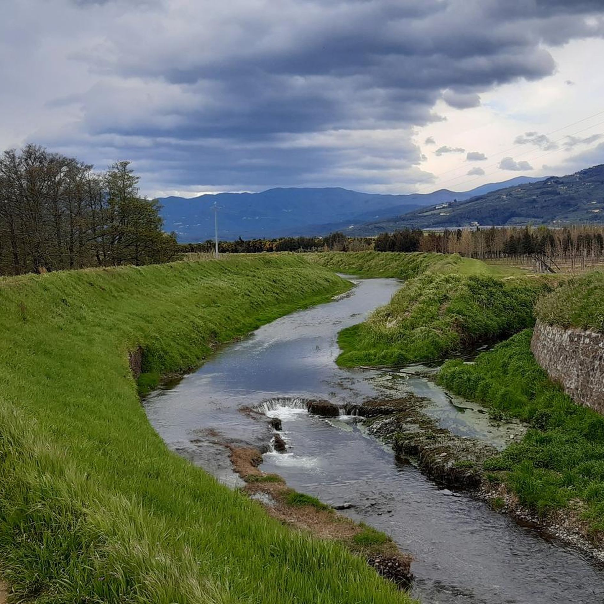
Warning. May 2025: the grass along the embankment is so tall that it is difficult to pass
2
0
Attention. May 2025. The grass along the embankment is so tall that it is difficult to pass.
5
0
Frequently Asked Questions
How many hiking trails are available around Agliana?
There are over 470 hiking routes around Agliana, offering a wide variety of options for all skill levels. You'll find everything from easy strolls through fields to more challenging ascents in the nearby Apennines.
What kind of natural features can I expect to see on hikes around Agliana?
Agliana's hiking trails often feature diverse natural landscapes. You can explore protected areas like the Querciola Nature Protected Area, which includes the Lakes of Zela and Bigiana, known for their birdlife. Many routes follow picturesque streams such as the Bure, Calice, Ombrone, and Brana, contributing to lush green environments. The broader region also offers rolling Tuscan hills and access to the more rugged Pistoia Apennines.
Are there any easy hiking routes suitable for beginners or a relaxed walk?
Yes, Agliana offers many easy routes. For a gentle and accessible walk, consider the Stork in the Fields loop from Agliana. This 3.5-mile (5.6 km) trail leads through open fields and natural habitats, typically taking about 1 hour 24 minutes to complete with minimal elevation gain.
What do other hikers enjoy most about the trails in Agliana?
The hiking routes in Agliana are highly rated by the komoot community, with an average score of 4.4 stars from over 1,700 reviews. Hikers often praise the varied terrain, from tranquil river paths to more challenging mountain ascents, and the opportunity to experience the peaceful Tuscan countryside.
Are there any circular hiking routes in the Agliana area?
Yes, many of the trails around Agliana are designed as circular routes, allowing you to start and end in the same location. A popular moderate option is the Hiking loop from Montale, which covers 9.4 miles (15.1 km) and offers varied terrain through the local countryside.
Can I find any historical or notable landmarks along the hiking trails?
Absolutely. The region around Agliana is rich in history and natural wonders. You might encounter natural monuments like the Devil’s Rock (Pietramarina), a large sandstone monolith with historical significance. The area also offers views of medieval structures and is close to cultural sites such as Leonardo da Vinci's Birthplace.
Are there any challenging hikes for experienced trekkers?
For those seeking a more demanding experience, the Agliana area provides access to the Pistoia Apennines. A challenging option is the Monte Pratocavolo (711 m) loop from Montale, a 12.4-mile (20.0 km) route with significant elevation gain, requiring good fitness.
What is the best time of year to go hiking in Agliana?
Agliana, situated in Tuscany, generally offers pleasant hiking conditions during spring (April-May) and autumn (September-October) when temperatures are mild and the landscapes are particularly vibrant. Summer can be warm, so early morning or late afternoon hikes are recommended, while winter offers a different, quieter charm, though some higher trails might be less accessible.
Are there any trails that follow rivers or offer water views?
Yes, Agliana's territory is defined by several streams, and many trails incorporate these waterways. A great option for river views is the Along the Bure Stream – River View loop from Montale. This moderate 9.6-mile (15.5 km) path follows the Bure Stream, providing a tranquil atmosphere and scenic riverside vistas.
Are there any parks or green spaces within Agliana itself for shorter walks?
Agliana is known as a 'green lung' within the Valle del Bisenzio. You can find easily accessible green spaces like Parco di Carabattole and Parco di Sandro Pertini, which even includes a lake. Agliana Park also offers pleasant areas for relaxation and short walks among trees, perfect for a quick escape into nature.
Is public transport available to reach hiking trailheads near Agliana?
While specific public transport connections to every trailhead can vary, Agliana is a town with local bus services. For detailed information on routes and schedules to reach specific starting points, it's advisable to check local transport authority websites or inquire locally. Some routes, like the Villa Strozzi di Bagnolo – Javello Pathway loop from Stazione, are designed to be accessible from train stations or public transport hubs.
Are there any viewpoints or scenic overlooks along the trails?
Many trails in the Agliana region, especially those ascending into the surrounding hills or the Pistoia Apennines, offer rewarding viewpoints. For instance, the area around Croce della Retaia provides excellent panoramic views, including a notable view from La Retaia over Prato.
Most popular attractions around Agliana

Get inspired with the komoot mobile app


Explore more
Browse the best Hikes in other regions.
