The best road cycling routes around San Godenzo
4.8
(77)
2,635
riders
36
rides
Road cycling around San Godenzo, situated in the Tuscan Apennines, offers diverse terrain for cyclists. The region features mountainous landscapes with significant elevation gains, dense forests, and picturesque river valleys. Routes traverse the area between the Mugello and Casentino valleys, providing varied environments for road cycling. This area is characterized by its challenging climbs and winding roads through natural settings.
Best road cycling routes around San Godenzo
- The most popular road cycling route is Medici Bridge of Pontassieve – Dicomano loop from San Godenzo, a 55.8 miles (89.8 km) trail that takes 3 hours 55 minutes to complete. This moderate route features varied terrain through the Sieve river valley.
- Another top favourite among local road cyclists is Dicomano – Medici Bridge of Pontassieve loop from San Godenzo, a difficult 40.0 miles (64.4 km) path. This route includes substantial elevation changes and scenic views of the surrounding Apennine landscape.
- Local road cyclists also love the Dicomano – Footbridge over the Sieve loop from San Godenzo, a 24.8 miles (40.0 km) trail leading through river valleys and local villages, often completed in about 1 hour 53 minutes.
- Road cycling around San Godenzo is defined by mountainous terrain, dense forests, and scenic river valleys. The network offers options for various ability levels, from shorter loops to challenging climbs.
- The routes in San Godenzo are highly rated by the komoot community with an average score of 4.6 stars from over 80 reviews. More than 2,800 road cyclists have used komoot to explore San Godenzo's varied terrain.
Last updated: July 15, 2026
4.3
(22)
588
riders
83.8km
03:47
910m
910m
Prepare for a challenging road cycling adventure on the Fiesole and Vetta le Croci – loop. This difficult route covers 52.1 miles (83.8 km) with a significant 2993 feet (912 metres) of elevation gain, taking around 3 hours and 47 minutes to complete. You will experience classic Tuscan landscapes, from the panoramic views of Florence as you climb out of Fiesole to the serene stretches along the Sieve River. The route winds through verdant forests, olive groves, and past cypress trees, offering a true taste of the region's beauty. Expect some steep ascents, especially northeast of Fiesole, where gradients can reach up to 19% on this predominantly paved course.
To tackle this demanding loop, ensure you are well-prepared for its difficult nature and significant climbs. The Fiesole climb itself averages 5-6% over 4.5 kilometers, requiring good physical conditioning. Parking for cyclists is generally available in the town center of Dicomano, which serves as a convenient starting point for your ride. Plan your visit during suitable weather conditions to fully enjoy the open roads and scenic vistas.
This route offers a deep dive into the heart of Tuscany, connecting the historic charm of villages like Dicomano with the expansive views from Vetta le Croci, the highest point on the loop. You will also cycle through renowned Chianti vineyards, adding another layer to the region's rich character. The journey provides a unique perspective on the landscape between Florence and the Mugello region, showcasing its diverse natural beauty and cultural heritage.
4.6
(7)
240
riders
89.9km
03:58
740m
740m
Moderate road ride. Good fitness required. Mostly well-paved surfaces and easy to ride.

Sign up for free
117
riders
84.6km
03:56
880m
880m
Moderate road ride. Good fitness required. Mostly well-paved surfaces and easy to ride.
43
riders
102km
04:45
1,240m
1,240m
Hard road ride. Very good fitness required. Mostly well-paved surfaces and easy to ride.
31
riders
37.1km
02:04
800m
800m
Moderate road ride. Good fitness required. Mostly well-paved surfaces and easy to ride.
Get access to more routes and recommendations from other explorers.
Sign up for free
Already have an account?
Our route recommendations are based on thousands of hikes, rides, and runs completed by other people on komoot.
Start today with a free account
Your next adventure awaits.
Login or Signup
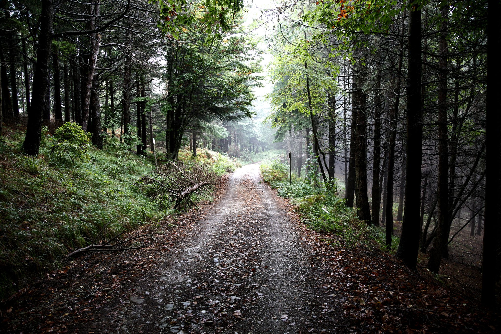
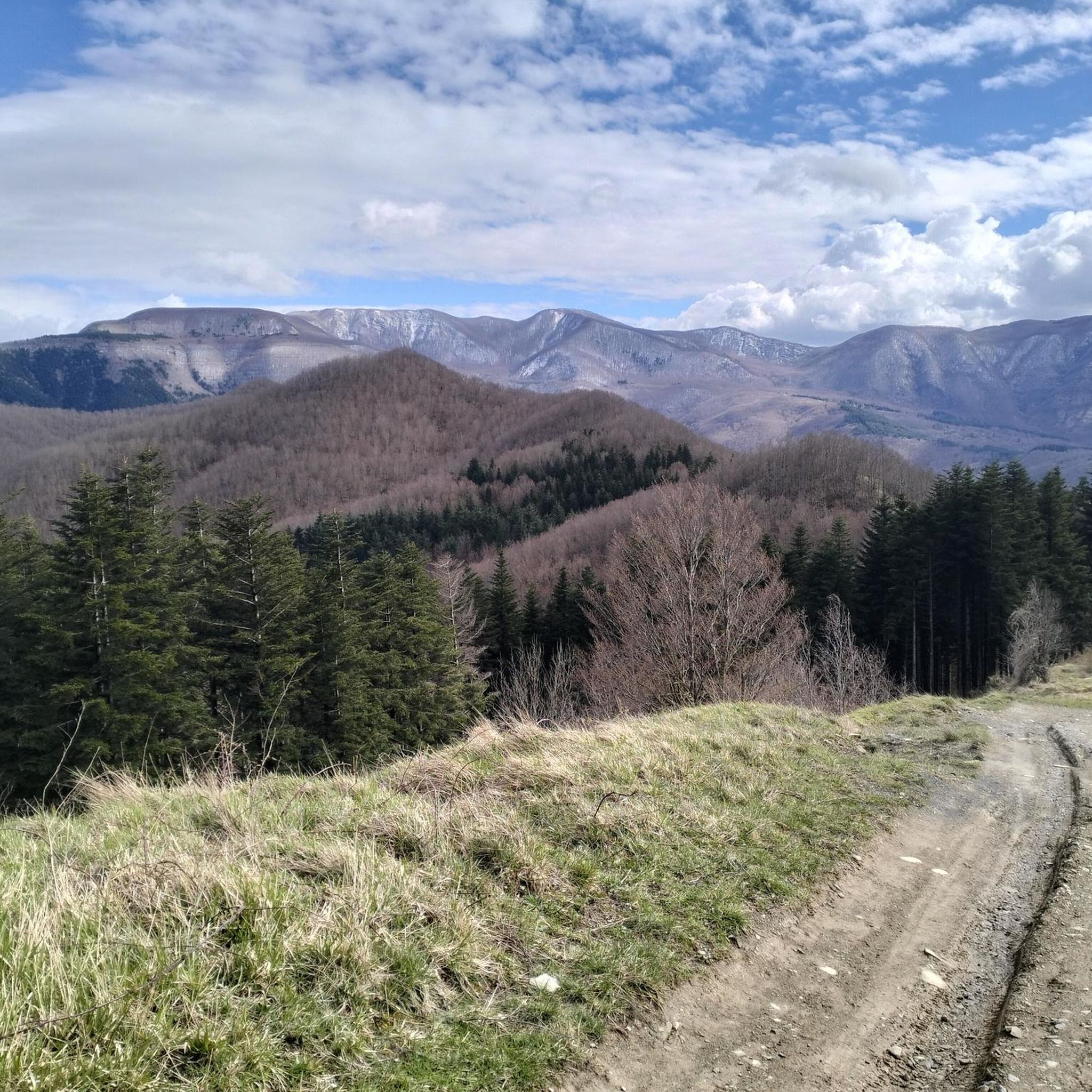
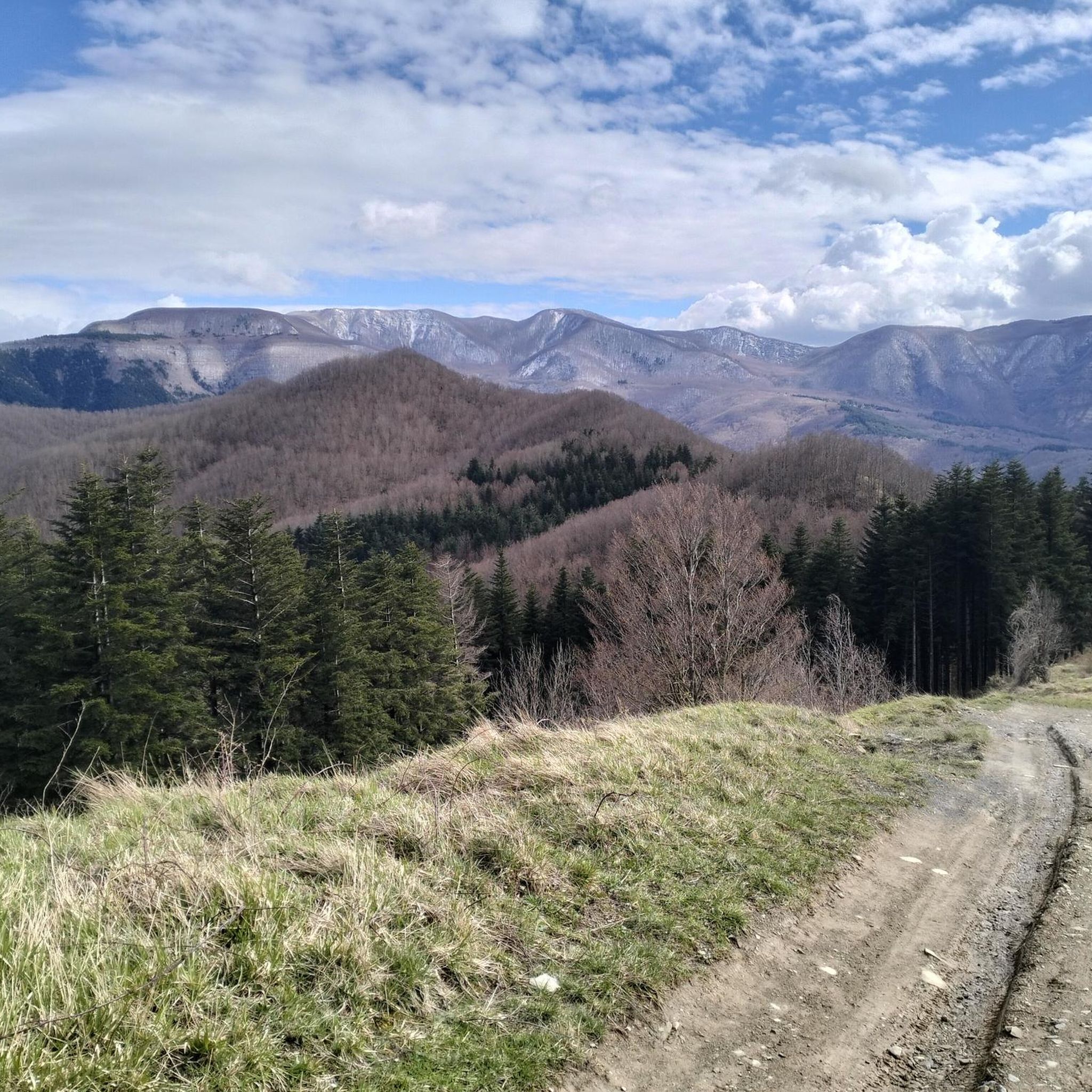
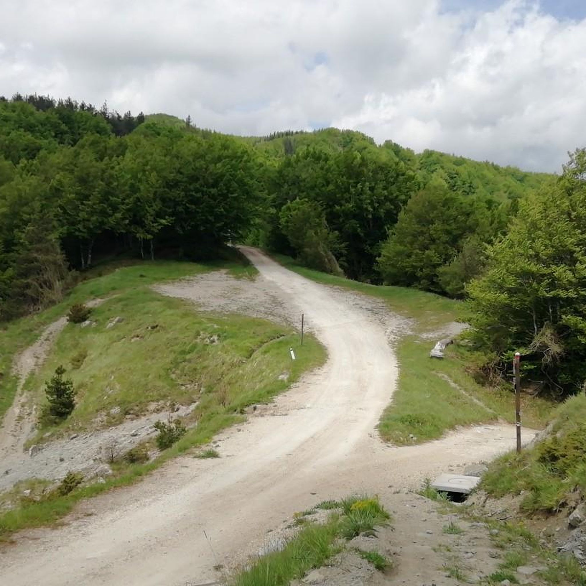

Other adventures around San Godenzo

Tips from the Community

A lost jewel in the Tuscan countryside. The Abbey is in excellent condition, with a simple exterior and an explosion of images inside, suspended between the Late Middle Ages and the early Renaissance.
0
0

Nestled in a flat area wedged between verdant mountains, Dicomano is the gateway to Casentino, Mugello, and Valdisieve. Thanks to its fortunate geographical position, it has developed since ancient times as a large market, a tradition still confirmed today by the fairs it hosts in autumn and spring.
0
0

Just before the pass you will find this wonder on the road, stop and take a photo, the memories remain, we will get the KOM another time
0
0

Starting from Florence, the climb presents few difficulties and is pleasant. The climb to Fiesole is the toughest part, but it's less than four kilometers with an average gradient of 5% and a peak of 8%. After passing the Fiesole square, there are about 10 kilometers of road, mostly uphill but with a fairly easy gradient, and the view that opens up over the valley makes the effort worthwhile. At the intersection of roads that we Florentines call the "four roads," you can turn right, take the final ramp and descend into the beautiful Mugello valley, but in this case I continued straight to the village of Bivigliano. The road isn't long but includes a short 11% climb, fortunately very brief. In Bivigliano, there are refreshments and a public fountain in the square.
0
0

Kind of nice, but if you go uphill (Pelago towards Tosi), you will be slow and have to watch out for cars!.
0
0


Great for a quick break, nice view, only outdoor
0
0

The asphalt is so-so, but the view makes up for the inconvenience.
0
0
Frequently Asked Questions
How many road cycling routes are available in San Godenzo?
San Godenzo offers a wide selection of road cycling routes, with over 40 distinct tours available. These routes cater to various skill levels, from easy loops to challenging climbs through the Tuscan Apennines.
What kind of terrain can I expect on road cycling routes around San Godenzo?
The region is characterized by mountainous terrain, dense forests, and picturesque river valleys. You can expect significant elevation gains, winding roads, and varied surfaces as you traverse the area between the Mugello and Casentino valleys.
Are there challenging climbs for experienced road cyclists in San Godenzo?
Yes, San Godenzo is renowned for its challenging road cycling routes with substantial elevation changes. For instance, the Lago di Londa – Dicomano loop from San Godenzo is a difficult route with over 1,700 meters of ascent. The region's mountainous areas, including passes like Calla Pass, provide ample opportunities for strenuous climbs.
Can beginners or less experienced cyclists find suitable road routes in San Godenzo?
While many routes are challenging, there are options for less experienced cyclists. The Dicomano loop from San Godenzo is an easy route, offering a shorter distance and more manageable elevation. Additionally, parts of the Santerno Cycle Route are suitable for various abilities, especially its initial segments.
What natural features or landmarks can I see while road cycling in San Godenzo?
Road cycling routes in San Godenzo often pass through stunning natural landscapes. You can encounter majestic peaks like Monte Falterona and Mount Falco. The region is also a gateway to the Foreste Casentinesi National Park, known for its dense woods and rich biodiversity.
Are there any waterfalls accessible from road cycling routes?
Yes, the region boasts several beautiful waterfalls. The famous Acquacheta Waterfall, immortalized by Dante, is a significant natural attraction. You might also encounter the Sega Waterfalls, where the Rabbi river cuts through rock, creating natural swimming pools.
Are there road cycling routes that offer panoramic views?
Absolutely. Given its mountainous terrain, many routes provide scenic views of the surrounding Apennine landscape. Routes that ascend to higher elevations or pass through mountain passes like Calla Pass often reward cyclists with breathtaking panoramic vistas.
Are there circular road cycling routes available?
Yes, many of the road cycling routes around San Godenzo are designed as loops, allowing you to start and end in the same location. Examples include the Medici Bridge of Pontassieve – Dicomano loop from San Godenzo and the Dicomano – Medici Bridge of Pontassieve loop from San Godenzo.
What is the best time of year for road cycling in San Godenzo?
The best season for road cycling in San Godenzo is generally from spring to autumn. During these months, the weather is more favorable, offering pleasant temperatures for tackling the climbs and enjoying the scenic landscapes. Summer can be warm, but the higher elevations provide some relief.
Where can I find parking for road cycling routes in San Godenzo?
While specific parking areas for each route are not detailed, San Godenzo and nearby towns like Dicomano typically offer public parking facilities. It's advisable to check local parking options in your chosen starting point before your ride.
Is public transport an option to access road cycling routes in San Godenzo?
Accessing San Godenzo primarily relies on road transport. While public transport options might be limited, local bus services connect San Godenzo with larger towns. For detailed information on public transport schedules and accessibility, it's best to consult local transport providers or resources like Visit Tuscany.
What do other cyclists say about road cycling in San Godenzo?
The road cycling routes in San Godenzo are highly rated by the komoot community, with an average score of 4.6 stars from over 80 reviews. Cyclists often praise the varied terrain, challenging climbs, and the beautiful natural settings of the Tuscan Apennines.
Are there any historical sites or cultural attractions along the routes?
Yes, beyond the natural beauty, the region has historical significance. The Abbey of San Godenzo, a meeting place for Dante and other Florentine exiles, is a notable historical site. You can also explore cultural trails like the 'Civiltà del Castagno' (Chestnut Civilization) which highlights local traditions.
Can I find places to eat or drink along the road cycling routes?
Yes, many routes pass through local villages and towns where you can find cafes, restaurants, and shops to refuel. San Godenzo itself, as well as nearby Dicomano, offer options for food and drink. It's always a good idea to carry some snacks and water, especially on longer or more remote routes.
Most popular attractions around San Godenzo

Get inspired with the komoot mobile app


Explore more
Browse the best Road cycling routes in other regions.
