The best road cycling routes around Calenzano
4.3
(1235)
35,804
riders
27
rides
Road cycling around Calenzano offers diverse terrain within the Tuscan landscape, situated between the Monti della Calvana and Monte Morello mountain ranges. The region features a blend of mountainous districts with calcified rock formations and plains encircled by hills. These hills are characterized by lush woods and extensive olive groves, providing varied gradients and scenic backdrops for road cyclists.
Best road cycling routes around Calenzano
- The most popular road cycling route is San Baronto Cyclists' Monument – San Baronto Cyclists'…
Last updated: October 11, 2026
4.1
(20)
664
riders
Moderate road ride. Good fitness required. Mostly well-paved surfaces and easy to ride.
4.6
(14)
382
riders
57.0km
02:56
900m
900m
Hard road ride. Very good fitness required. Mostly well-paved surfaces and easy to ride.

4.9
(8)
252
riders
65.3km
02:56
500m
500m
Moderate road ride. Good fitness required. Mostly well-paved surfaces and easy to ride.
4.0
(4)
110
riders
63.5km
02:48
540m
540m
Moderate road ride. Good fitness required. Mostly well-paved surfaces and easy to ride.
5.0
(5)
78
riders
Easy road ride. Great for any fitness level. Mostly well-paved surfaces and easy to ride.
Get access to more routes and recommendations from other explorers.
Already have an account?
Our route recommendations are based on thousands of hikes, rides, and runs completed by other people on komoot.
Start today with a free account
Your next adventure awaits.
Tips from the Community

The summit of San Baronto is located at an altitude of 349 meters above sea level in the heart of Montalbano, in Tuscany. This hamlet of the municipality of Lamporecchio (PT) is considered the "homeland" and symbol of Tuscan cycling, a historic meeting point for both amateur cyclists and professionals in training. At the top of the climb, the local cycling tradition revolves around two fixed stages: the famous Fontanella (water refill point for bottles) and the passage in front of the Church or the bars at the pass for a classic slice of cake.
0
0
The scenic road connecting Vinci to San Baronto is one of Montalbano's most famous and spectacular routes, much loved by car drivers, motorcyclists, and cyclists for its harmonious curves and breathtaking views of the Tuscan hills. The main route follows the Strada Provinciale 13 (SP13), known in this stretch also as Via di San Donato, which climbs from Vinci, winding its way through centuries-old olive groves and vineyards, before joining the SP9 to reach the pass and the village of San Baronto.
0
0

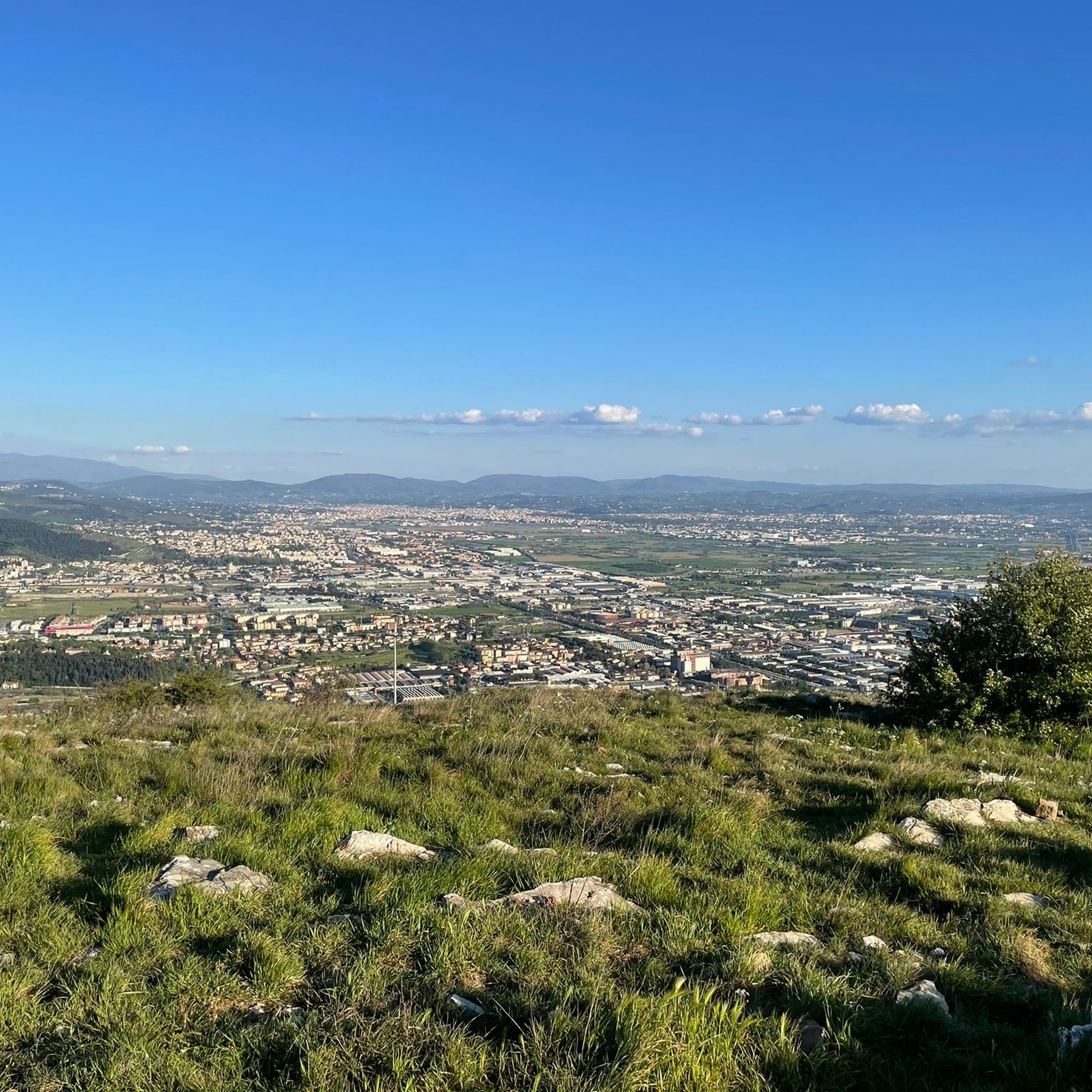
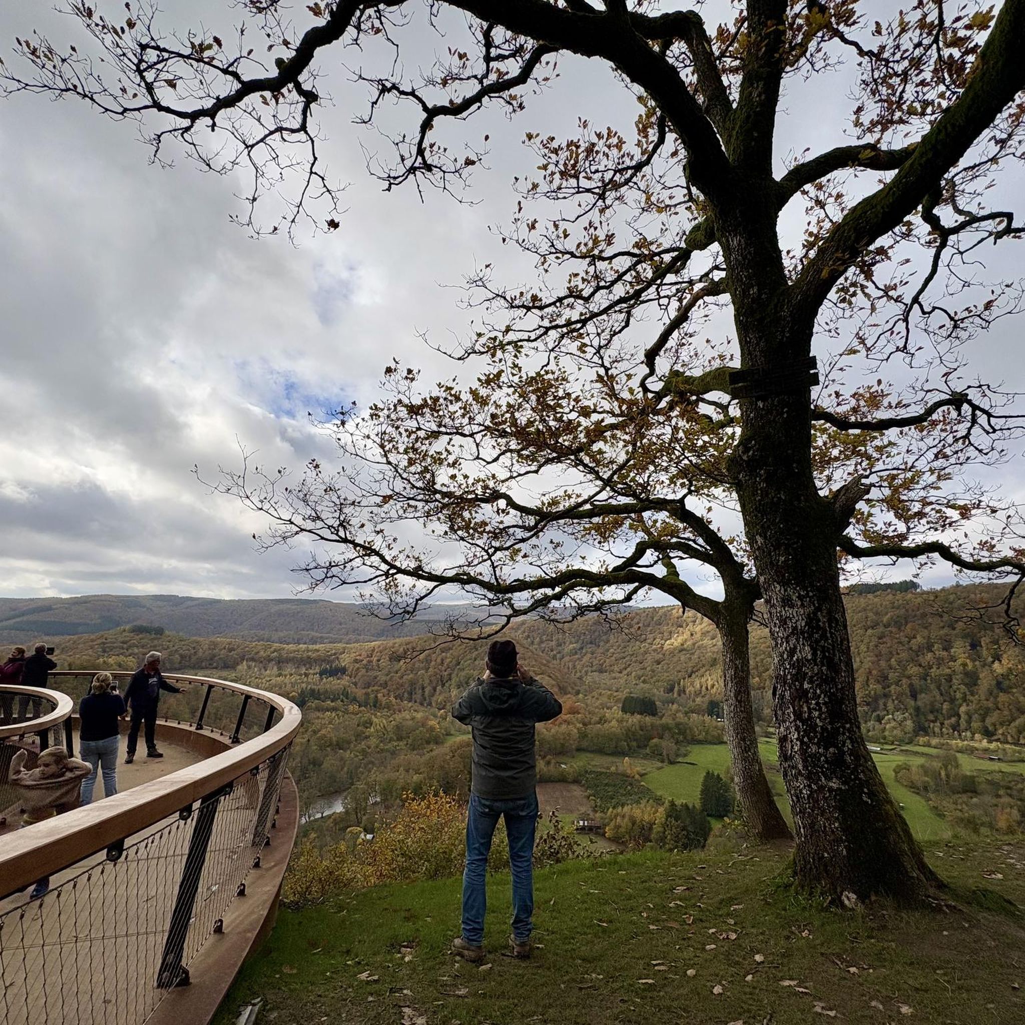
From the summit of San Baronto (about 350 m above sea level in the Montalbano hills), the panorama opens onto the surrounding valley, offering a splendid view of the typical Tuscan landscape. The view stretches over hills rich in olive trees and woods, reaching out to clearly discern the profiles of the nearby city of Pistoia, the plain towards Florence, and the gentle slopes descending towards Vinci.
1
0
The Municipality of Vinci It is a medieval village of about 14,000 inhabitants located in the Metropolitan City of Florence, on the slopes of Montalbano. The entire history and tourism of the town revolve around the figure of the Renaissance genius
0
0

To be precise, it is Piazzale Leonardo da Vinci.
0
0

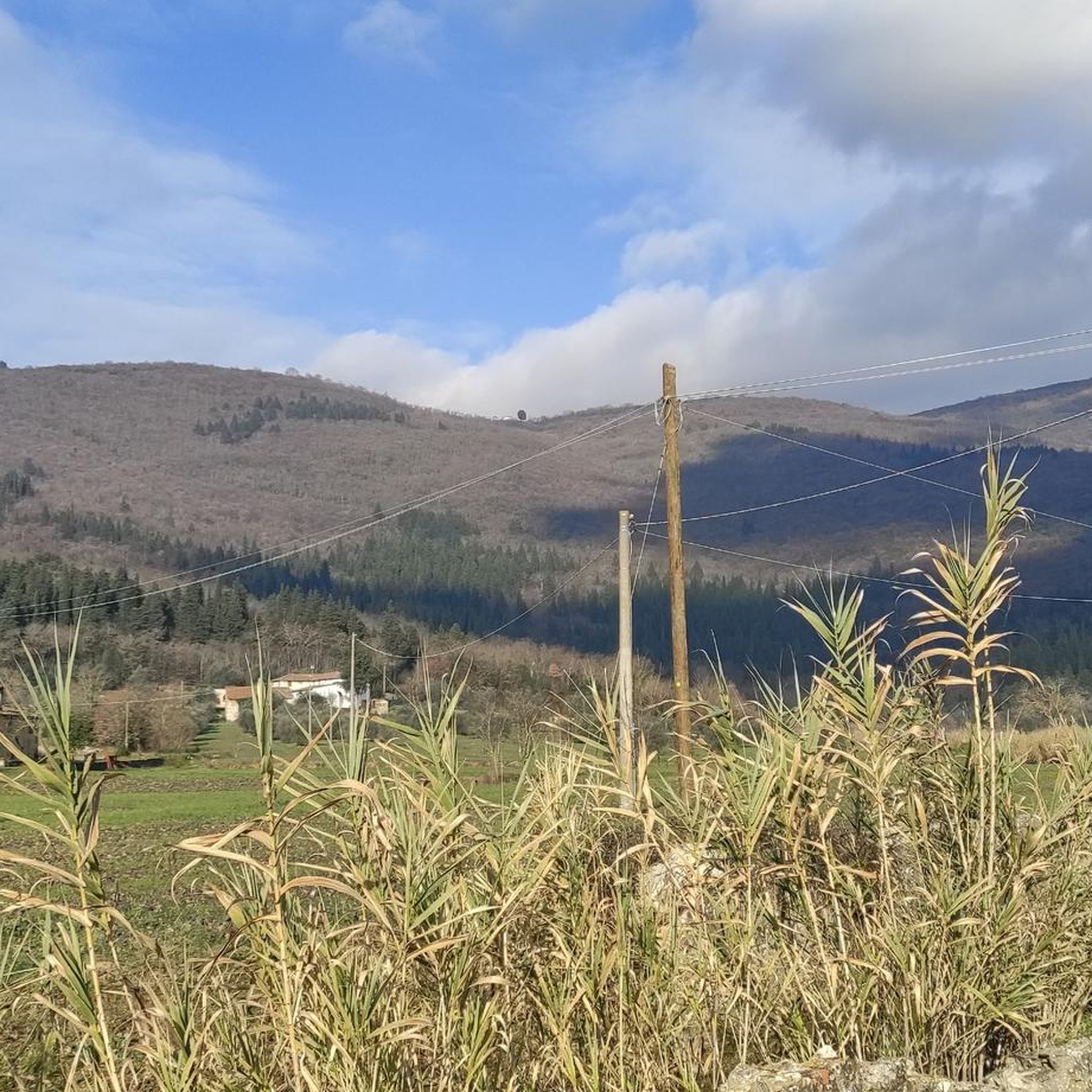
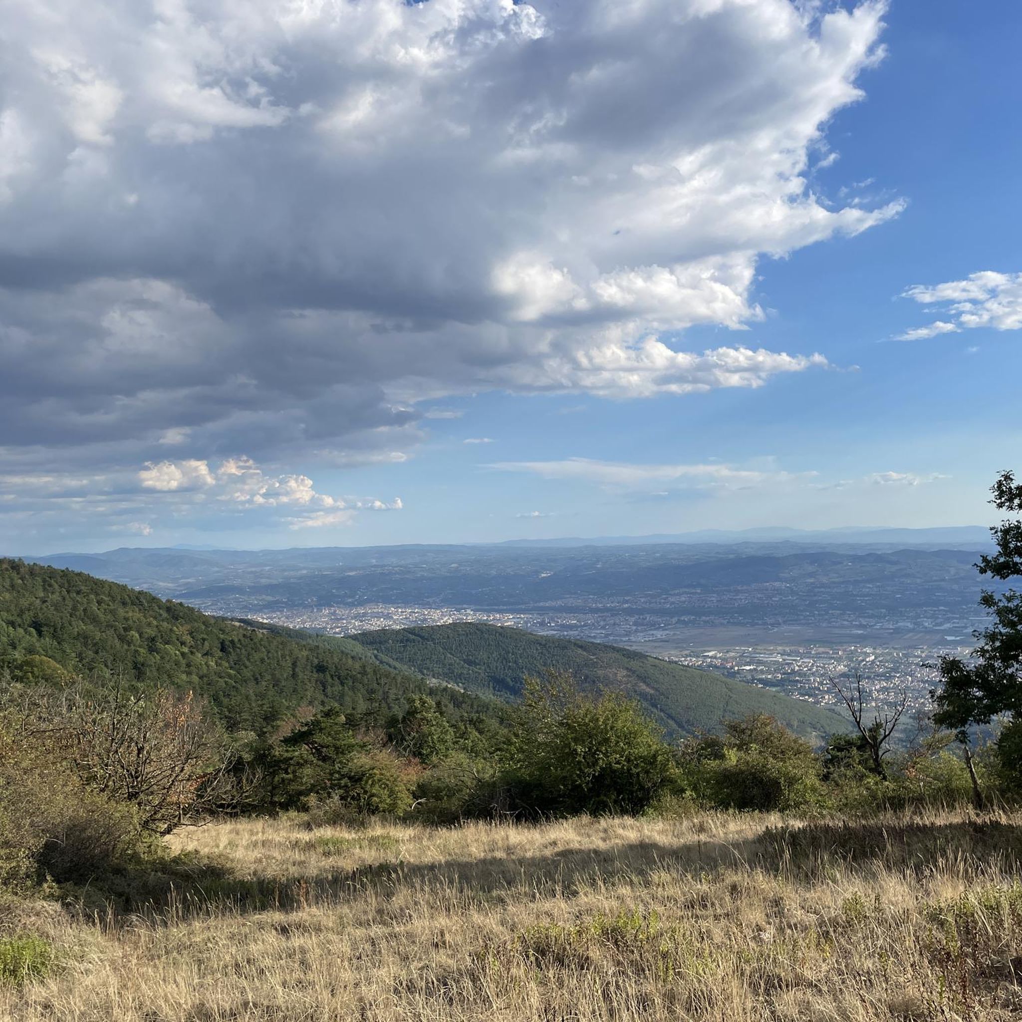
Starting from Florence, the climb presents few difficulties and is pleasant. The climb to Fiesole is the toughest part, but it's less than four kilometers with an average gradient of 5% and a peak of 8%. After passing the Fiesole square, there are about 10 kilometers of road, mostly uphill but with a fairly easy gradient, and the view that opens up over the valley makes the effort worthwhile. At the intersection of roads that we Florentines call the "four roads," you can turn right, take the final ramp and descend into the beautiful Mugello valley, but in this case I continued straight to the village of Bivigliano. The road isn't long but includes a short 11% climb, fortunately very brief. In Bivigliano, there are refreshments and a public fountain in the square.
0
0

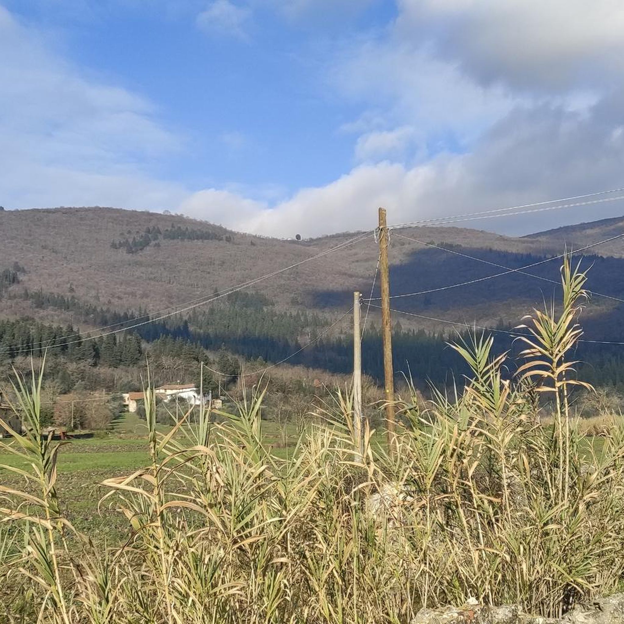
I would like to point out that it is between the towns of Lastra a Signa and Ginestra Fiorentina.
2
0

Great for a quick break, nice view, only outdoor
0
0
Frequently Asked Questions
What variety of road cycling routes can I find around Calenzano?
Calenzano offers a diverse range of road cycling routes, with over 20 options available. These include 5 easy routes perfect for a relaxed ride, 8 moderate routes for those seeking a bit more challenge, and 8 difficult routes for experienced cyclists looking for significant elevation gains and demanding terrain.
Are there any particularly challenging road cycling routes or climbs in the Calenzano area?
Yes, Calenzano is known for its challenging climbs. For instance, the Passo del Giogo – Passo del Giogo di Scarperia loop from Calenzano is a difficult 100.5 km route featuring over 1,900 meters of elevation gain, traversing mountain passes. The region is also known for 'real cyclists climb the Croci' routes, promising exhilarating challenges.
What kind of natural landscapes will I experience while road cycling around Calenzano?
Road cycling around Calenzano immerses you in the picturesque Tuscan landscape. You'll encounter a harmonious blend of mountainous districts, calcified rock formations, and plains encircled by hills. These hills are adorned with lush woods and extensive olive groves, creating a quintessential rural Tuscan environment with terraced olive trees and charming farmhouses.
Are there any family-friendly road cycling routes in Calenzano?
While many routes in Calenzano involve varied terrain and elevation, there are easy options suitable for families. The region's plains and riverside paths, such as the Bisenzio Riverside Cycle Path mentioned in local research, often provide more gentle and scenic rides away from major climbs, ideal for a family outing.
What historical landmarks or attractions can I see along the road cycling routes?
Calenzano's routes are rich with history. You can cycle past the medieval village of Calenzano Alto with its fortified castle, or explore ancient routes like the 'via del Sale'. Notable churches such as San Donato, San Severo in Legri, and Santa Maria a Carraia, along with majestic villas like Villa Peragallo and Villa Ginori, offer fascinating historical stops. For a cultural insight, the Museum of the Resistance is also located in the hills.
Are there any circular road cycling routes available in Calenzano?
Yes, many of the road cycling routes around Calenzano are designed as loops, allowing you to start and finish in the same location. A popular example is the San Baronto Cyclists' Monument – San Baronto Cyclists' Monument loop from Calenzano, a 86 km trail that offers a moderate challenge with steady climbs.
What do other road cyclists enjoy most about cycling in Calenzano?
The road cycling routes in Calenzano are highly rated by the komoot community, with an average score of 4.2 stars from over 50 reviews. Cyclists often praise the diverse terrain, from challenging mountain passes to scenic olive groves, and the well-maintained paths that cater to various skill levels. The blend of natural beauty and historical points of interest also receives high acclaim.
Are there any specific natural attractions or scenic viewpoints accessible by road bike?
Absolutely. The region boasts natural beauty spots like the Parco del Neto, a large green space with lime and cypress trees, and the botanical garden of Quercia Mencola, known for its unique orchid trail. The green area of Travalle and the base of Calvana also offer scenic vistas. Many routes wind through these areas, providing stunning views of the Tuscan landscape, including extensive olive groves and rolling hills.
Can I find long-distance road cycling routes around Calenzano?
Yes, Calenzano offers several long-distance options for road cyclists. For example, the Passo del Giogo – Passo del Giogo di Scarperia loop from Calenzano is over 100 km long, providing an extensive ride through the region's challenging terrain. Other routes, like the Pesa Bridge over the Turbone – Parco dei Renai Entrance loop, also offer extended tours.
Are there any waterfalls near the road cycling routes in Calenzano?
While primarily known for its road cycling, the Calenzano area does have natural features including waterfalls. You might find highlights such as the Massacorbi Waterfall, the Rio Buti Waterfall, and the Waterfall of Torrente Terzolle in the surrounding natural areas. These can be explored as part of a longer cycling trip or a separate excursion.
What is the best time of year for road cycling in Calenzano?
Calenzano's Mediterranean climate makes it suitable for road cycling for much of the year. Spring and autumn generally offer the most pleasant temperatures for longer rides and challenging climbs, with lush landscapes. Summer can be warm, but early morning or late afternoon rides are still enjoyable. Winter offers cooler, crisp conditions, especially in the lower plains.
Are there any routes that pass through the Parco dei Renai?
Yes, some road cycling routes incorporate or pass near the Parco dei Renai. The Entrance to Parco dei Renai – Grillaio Climb loop from Pratignone is a 65.2 km trail that leads through varied terrain, including the Parco dei Renai, offering a mix of natural scenery and climbs.
Most popular attractions around Calenzano

Get inspired with the komoot mobile app


Explore more
Browse the best Road cycling routes in other regions.
