The best road cycling routes around Schüpfen
4.5
(1716)
33,730
riders
13
rides
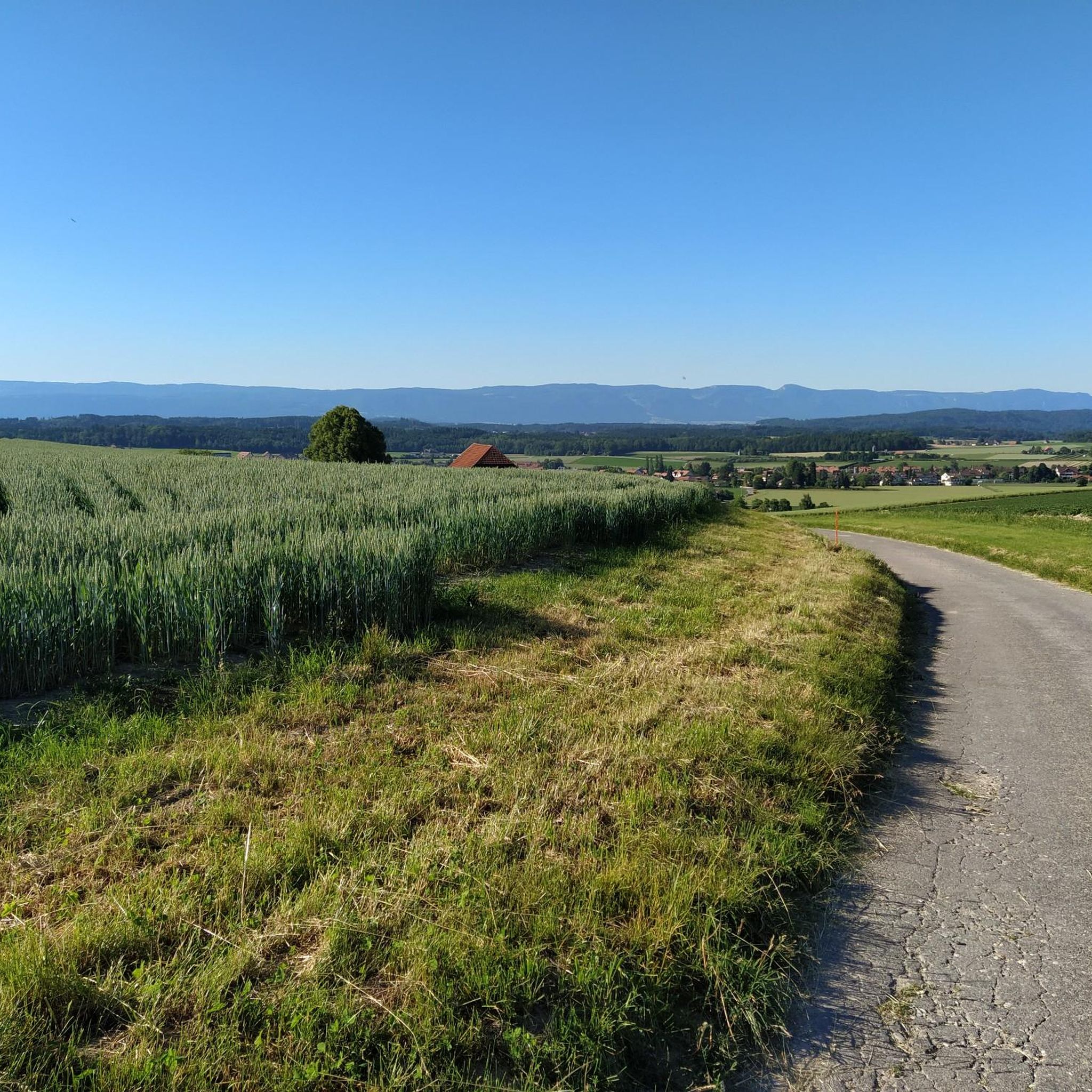
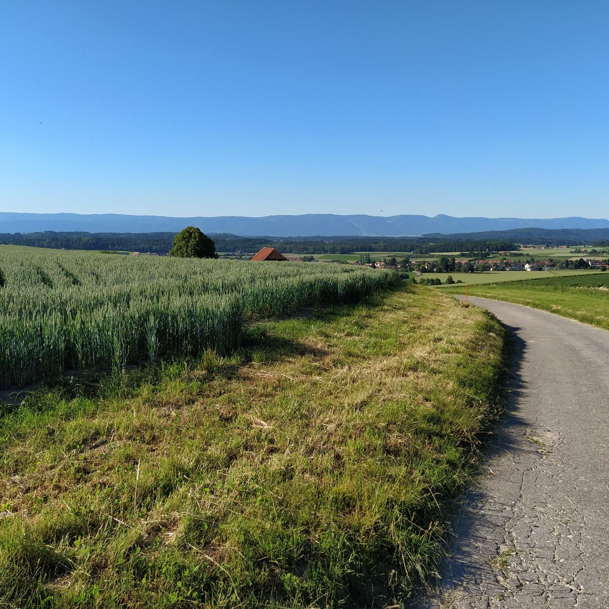
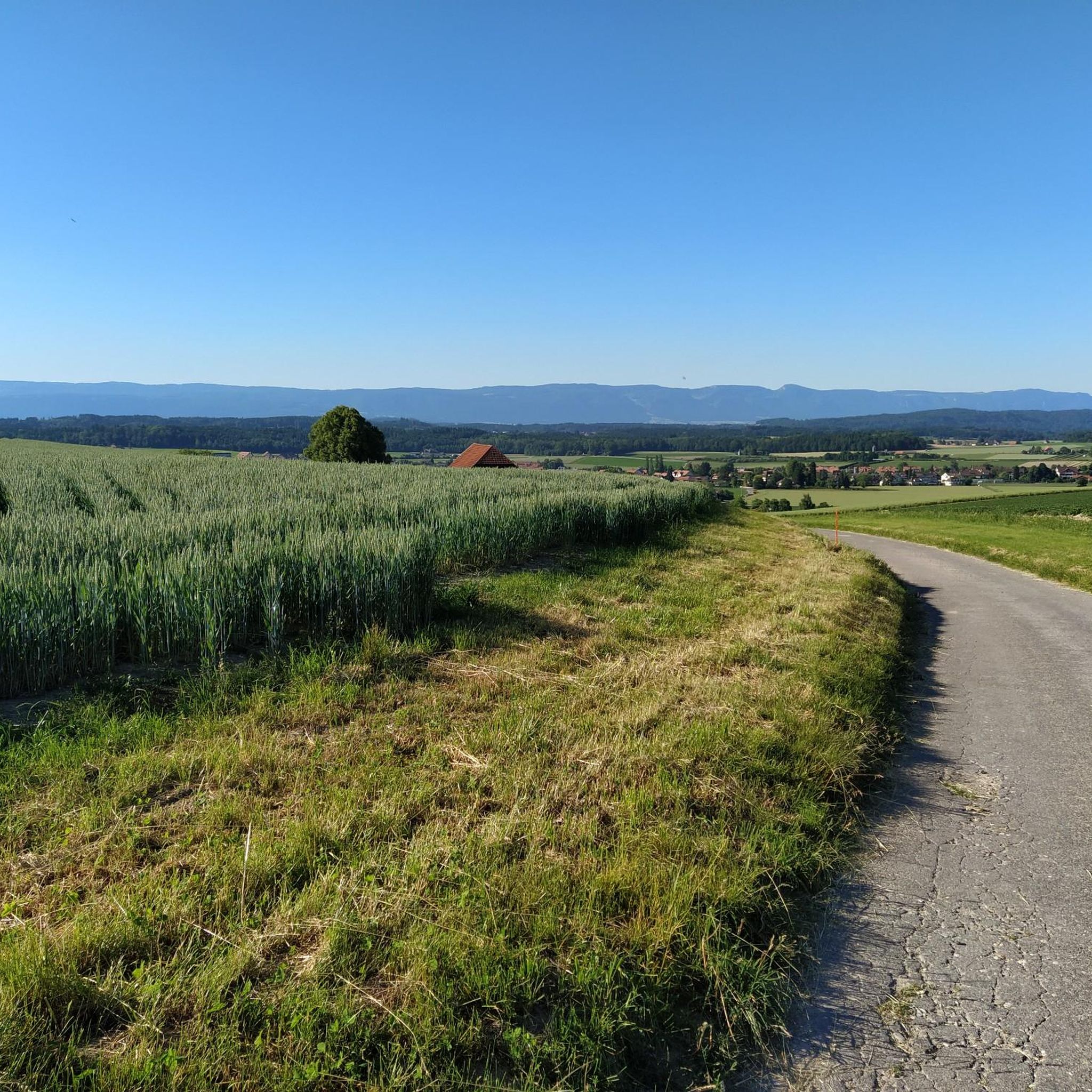
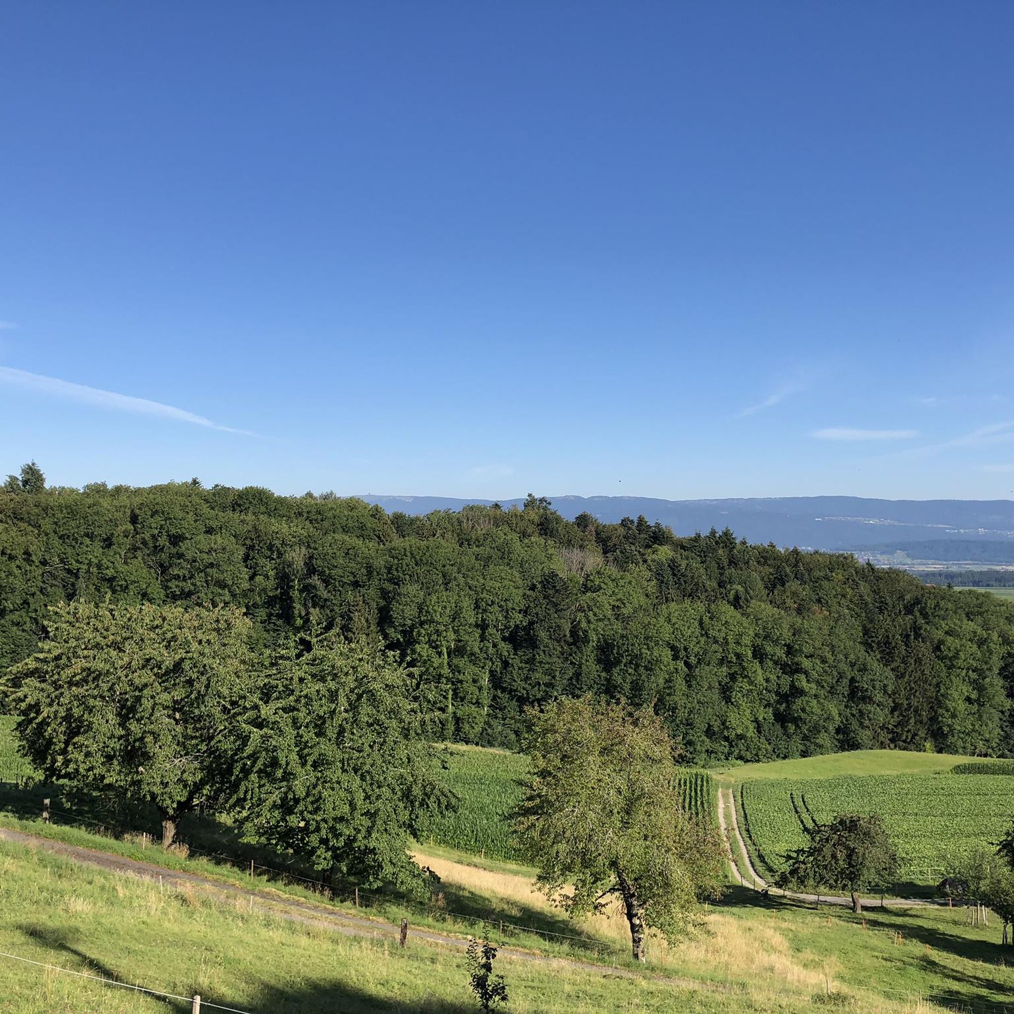
Road cycling routes around Schüpfen traverse a diverse landscape, blending the flat stretches of the Lyssbach valley with the undulating terrain of the Frienisberg and Rapperswil plateaus. The region features extensive forested areas and agricultural plains, offering varied scenery for cyclists. Elevation changes are present, particularly on routes exploring the Frienisberg High Plateau, which provides views of the Seeland region and the Bernese Alps. This topography creates a mix of challenging climbs and more leisurely rides.
Best road cycling routes around Schüpfen
- The most popular road cycling route is Hofen Farmstead Ensemble – Forest Descent Near Mildhaus loop from Schüpfen, a 25.8 miles (41.5 km) trail that takes 2 hours 12 minutes to complete. This route features a significant forest descent and varied terrain.
- Another top favourite among local road cyclists is Along the Canal – Chasseral Summit and Viewpoint loop from Schüpfen, a difficult 61.8 miles (99.5 km) path. This route includes a substantial climb towards the Chasseral summit, offering expansive views.
- Local road cyclists also love the Moossee – Junction to Messen at Bittwil loop from Schüpfen, a 30.1 miles (48.5 km) trail leading through varied countryside, often completed in about 2 hours 15 minutes.
- Road cycling around Schüpfen is defined by its blend of valley roads, forested sections, and plateau ascents, with routes offering options for easy, moderate, and difficult ability levels.
- The routes in Schüpfen are highly rated by the komoot community with an average score of 5.0 stars from over 11 reviews. More than 400 road cyclists have used komoot to explore Schüpfen's varied terrain.
Last updated: July 1, 2026
5.0
(7)
283
riders
Moderate road ride. Good fitness required. Mostly well-paved surfaces and easy to ride.
5.0
(10)
96
riders
42.6km
02:06
600m
600m
Moderate road ride. Good fitness required. Some segments of this route may be unpaved and difficult to ride.

Sign up for free
5.0
(1)
41
riders
95.0km
05:13
1,750m
1,750m
Hard road ride. Very good fitness required. Mostly well-paved surfaces and easy to ride.
25
riders
48.2km
02:13
360m
360m
Moderate road ride. Good fitness required. Some segments of this route may be unpaved and difficult to ride.
18
riders
33.1km
01:27
210m
210m
Easy road ride. Great for any fitness level. Mostly well-paved surfaces and easy to ride.
Get access to more routes and recommendations from other explorers.
Sign up for free
Already have an account?
Our route recommendations are based on thousands of hikes, rides, and runs completed by other people on komoot.
Start today with a free account
Your next adventure awaits.
Login or Signup

Tips from the Community

Nice area. Lots of gravel on both sides of the canal.
0
0

Cycled through with a birdsong concert in the morning, simply wonderful
0
0

If the tunnel is too scary for you, you can easily go over it. A hiking trail leads through the forest to the road, and at the Felsenaubrücke bridge you'll descend back to the riverbank.
0
0

Enchanted place in the Bremgarten forest
0
0


Like most of the roads in the Bern Mittelland, this one offers a very smooth surface and in the spring time the road is surrounded from the various colors of the flowers and blossoms of the rapeseed, cherry, apple and pear trees. Best time to ride here is in the Spring to take advantage of the colors.
0
0
A very smooth asphalted route which offers views of the surrounding area. At this particular sight there is a picnic table which is very inviting to take a pause and just enjoy the landscape.
0
0
Frequently Asked Questions
What kind of terrain can I expect on road cycling routes around Schüpfen?
Schüpfen offers a diverse road cycling landscape. You'll find a mix of flat stretches in the Lyssbach valley, undulating terrain across the Frienisberg and Rapperswil plateaus, and significant climbs, especially when exploring the Frienisberg High Plateau. The routes often blend extensive forested areas with open agricultural plains, providing varied scenery.
Are there road cycling routes suitable for beginners in Schüpfen?
Yes, Schüpfen has road cycling routes suitable for beginners. For example, the Diessbach–Wengi Country Road – Reformed Church of Lyss loop from Schüpfen is classified as easy, covering 33.2 km with moderate elevation. Another easy option is the Schüpfen–Lyss Route – Reformed Church of Lyss loop from Schüpfen, which is shorter at 18.1 km.
Where can I find challenging road cycling climbs in the Schüpfen area?
For challenging climbs, routes that ascend towards the Frienisberg High Plateau or the Chasseral summit are ideal. The Along the Canal – Chasseral Summit and Viewpoint loop from Schüpfen is a difficult 99.5 km route featuring a substantial climb with over 1,790 meters of elevation gain. Regionally, longer routes like "Grächwil-Guggisberg-Selital-Gurnigel" also offer significant climbing.
What natural attractions can I see while road cycling near Schüpfen?
While road cycling around Schüpfen, you can encounter several natural attractions. The Niederried Reservoir, part of the Niederried Hydroelectric Power Plant, is a protected nature reserve known for beavers and water birds. The unique Löörmoos Raised Bog, a 12,000-year-old ecosystem, is also nearby. Some routes may also pass near the Lobsigen Sandstone Caves.
Are there any notable viewpoints along the road cycling routes in Schüpfen?
Yes, road cycling in Schüpfen offers several opportunities for panoramic views. Elevated points like the Frienisberg High Plateau provide breathtaking vistas of the Seeland region and the majestic Bernese Alps. The Chutzenturm viewing platform is also a popular spot for expansive scenery, often accessible from various routes.
Is it easy to access road cycling routes in Schüpfen using public transport?
Schüpfen is well-connected by public transport, making it convenient to access cycling routes. The municipality has a train station, and buses serve the surrounding areas. Many routes start directly from the village, allowing cyclists to arrive by public transport and begin their ride without needing a car.
Are there parking options available for road cyclists in Schüpfen?
Yes, parking is generally available in Schüpfen for those arriving by car. You can find designated parking areas within the village, often near the train station or local amenities, providing convenient starting points for road cycling tours.
Can I find places to eat or stay along the road cycling routes in Schüpfen?
Schüpfen and its surrounding villages offer various options for refreshments and accommodation. You'll find local cafes and restaurants where you can refuel during your ride. For overnight stays, there are guesthouses and hotels catering to visitors, including cyclists, in the region.
What is the best time of year for road cycling in Schüpfen?
The best time for road cycling in Schüpfen is typically from spring through autumn (April to October). During these months, the weather is generally mild, and the landscapes are vibrant. Summer offers longer daylight hours, while spring and autumn provide pleasant temperatures and beautiful seasonal colors. Winter cycling is possible but may require more specialized gear due to colder temperatures and potential for snow or ice on higher elevations.
Are there circular road cycling routes available around Schüpfen?
Yes, the region around Schüpfen is well-suited for circular road cycling routes. Many of the popular tours, such as the Hofen Farmstead Ensemble – Forest Descent Near Mildhaus loop from Schüpfen (41.5 km) and the Moossee – Junction to Messen at Bittwil loop from Schüpfen (48.5 km), are designed as loops, bringing you back to your starting point.
What do other road cyclists enjoy the most about road cycling in Schüpfen?
The road cycling experience in Schüpfen is highly rated by the komoot community, with an average score of 5.0 stars. Cyclists often praise the diverse terrain, which offers a good mix of challenging climbs and more relaxed sections, as well as the stunning panoramic views of the Seeland region and the Bernese Alps from elevated points.
Are there any long-distance road cycling routes starting from Schüpfen?
Yes, for those seeking longer journeys, Schüpfen serves as a great starting point. Routes like "Grächwil - Solothurn" (54.3 km) and "Grächwil-Guggisberg" (82.4 km) offer extended exploration. More ambitious cyclists can tackle routes spanning over 100 km, such as "Grächwil-Guggisberg-Selital-Gurnigel" (109.1 km) or even "Grächwil - Gurnigel 2 fach" (144.7 km).
Can I find routes that combine flat sections with some elevation gain?
Absolutely. Schüpfen's topography naturally offers routes that combine flatter valley roads with gradual ascents onto plateaus. For instance, the "Limpach valley - around Lake Biel - Aarberg" route is noted as a pleasant option over 100 km with fewer elevation meters, balancing distance with manageable climbs, while still providing varied scenery.
Most popular attractions around Schüpfen

Get inspired with the komoot mobile app


Explore more
Browse the best Road cycling routes in other regions.
