The best walks and hikes around Cercemaggiore
4.7
(13)
193
hikers
18
hikes
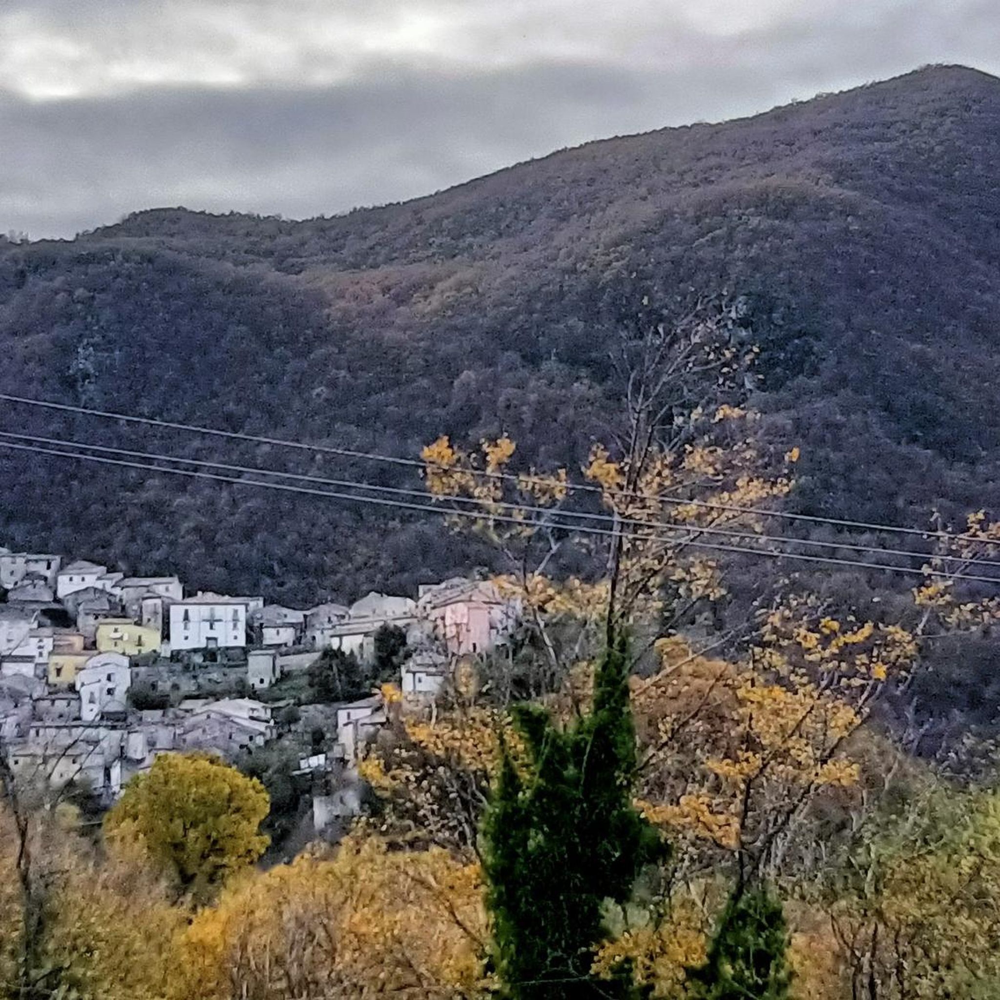
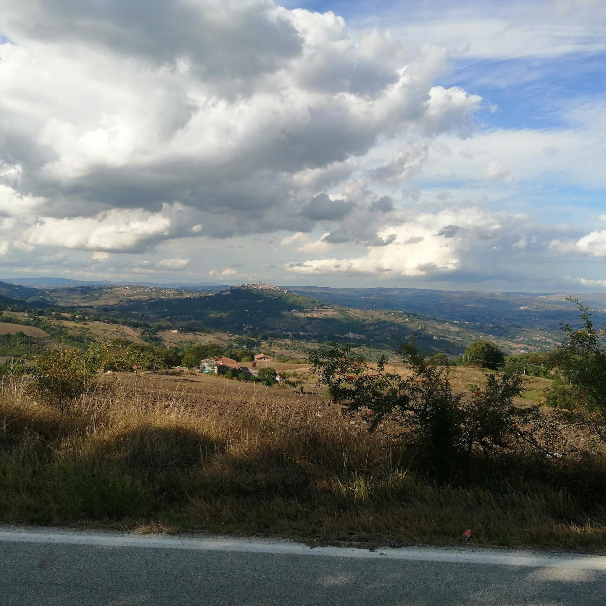
Hiking around Cercemaggiore offers diverse landscapes in Italy's Molise region, situated at an altitude of 930 meters. The area is characterized by wooded and mountainous slopes, providing panoramic views over the Tammaro Valley, Matese, and Majella mountain ranges. Natural features include extensive wooded plateaus, dramatic cliffs, and the Tappino river, which flows through parts of the region. The ancient Tratturo Lucera Castel di Sangro also traverses the area, adding to the varied terrain.
Best hiking trails around Cercemaggiore
- The most…
Last updated: October 8, 2026
3.5
(4)
6
hikers
14.5km
04:20
450m
450m
Moderate hike. Good fitness required. Easily-accessible paths. Suitable for all skill levels.
1
hikers
11.2km
03:20
350m
370m
Moderate hike. Good fitness required. Easily-accessible paths. Suitable for all skill levels.

5.0
(2)
33
hikers
6.11km
01:39
80m
80m
Easy hike. Great for any fitness level. Easily-accessible paths. Suitable for all skill levels.
5.0
(1)
28
hikers
10.2km
02:57
250m
250m
Moderate hike. Good fitness required. Easily-accessible paths. Suitable for all skill levels.
4
hikers
12.2km
03:44
420m
420m
Moderate hike. Good fitness required. Easily-accessible paths. Suitable for all skill levels.
Get access to more routes and recommendations from other explorers.
Already have an account?
Our route recommendations are based on thousands of hikes, rides, and runs completed by other people on komoot.
Start today with a free account
Your next adventure awaits.


Other adventures around Cercemaggiore

Tips from the Community

Easily reachable from Campobasso, it is a meeting place for sports lovers
0
0

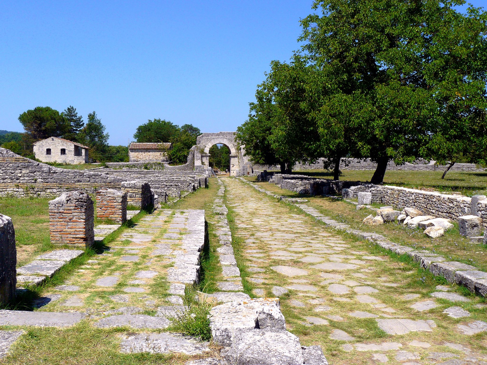
The name Saepinum derives from the Latin and means to fence and therefore refers to the breeding activities practiced here at the time. It was conquered by the Romans in the Third Samnite War in 293 BC.
0
0

Sepino is a small town in Molise which is part of the circuit of the most beautiful villages in Italy. The medieval historic center is well preserved and it is possible to visit the church of Santa Cristina and the ducal palace. On the hills of the Tammaro valley there are several archaeological sites testifying to the ancient Samnite and Roman settlements.
1
0
Ancient Samnite settlement located about 3 km north-west of Sepino, on a hill overlooking the plain of the Tammaro river. The 4th century BC settlement it was inhabited until the 3rd century AD, when it was abandoned in favor of the Roman city of Saepinum, located further downstream.
1
0
The archaeological site of San Pietro di Cantoni shows the remains of an ancient sanctuary dedicated to the goddess Mefite. It dates back to the 4th century BC. and consists of a sacred area enclosed by megalithic walls and a temple on a rectangular podium. It was frequented by the Samnites and then by the Romans until the 3rd century AD, when it was abandoned and transformed into a Christian church dedicated to St. Peter.
1
0

Located at over 900 meters above sea level, it is the highest municipality in Molise.
1
0

Monte Saraceno dominates Cercemaggiore. This mountain, 1,086 meters high, is clearly visible from the Piana di Boiano, as it stands alone. In the past it was used as a lookout point to counter invasions.
1
0
This center hypothetically dates back to the Lombard era. It is the highest town in the province of Campobasso, so much so that it is nicknamed the Sentinel of the Samnites.
1
0
Frequently Asked Questions
How many hiking trails are available around Cercemaggiore?
There are over 15 hiking routes around Cercemaggiore, offering a variety of experiences. These trails are highly rated by the komoot community, with an average score of 4.7 stars.
What is the general difficulty level of hiking trails in Cercemaggiore?
The hiking trails around Cercemaggiore cater to various skill levels. You'll find a good mix of easy and moderate routes, with 7 easy and 7 moderate trails. There is also one more challenging route for experienced hikers.
Are there any family-friendly hiking options in Cercemaggiore?
Yes, Cercemaggiore offers several easy trails suitable for families. These routes often feature gentle terrain and shorter distances, allowing for an enjoyable outing with children. For example, the Hiking loop from Vazzieri is an easy option.
What kind of natural features can I expect to see on hikes around Cercemaggiore?
Hiking around Cercemaggiore reveals diverse natural beauty. You'll encounter extensive wooded plateaus, dramatic cliffs, and mountainous slopes offering panoramic views. The ancient Tratturo Lucera Castel di Sangro also traverses the area, and the Tappino river flows through parts of the region, adding to the varied terrain.
Are there any circular hiking routes available in Cercemaggiore?
Yes, many of the trails around Cercemaggiore are designed as loops, allowing you to start and end at the same point. A popular example is the Loop tour of Cercemaggiore and Monte Saraceno, which offers views of the town and the surrounding landscape.
What historical or cultural landmarks can be explored near the hiking trails?
The region is rich in history. You can explore historical sites within a natural setting, such as those found on the On the trails of the Samnites and Romans in the Archaeological Park of Saepinum. Other nearby attractions include the Campobasso Historic Center and Monforte Castle.
Is public transport available to reach the trailheads in Cercemaggiore?
Cercemaggiore is a town in Molise, and while local buses connect it to nearby areas, direct public transport to specific trailheads might be limited. It's advisable to check local bus schedules or consider driving to access the starting points of the trails.
What is the best time of year to go hiking in Cercemaggiore?
The Molise region, where Cercemaggiore is located, generally offers pleasant hiking conditions from spring through autumn. Spring brings wildflowers, while autumn showcases vibrant foliage. Summer can be warm, so early mornings or late afternoons are ideal. Winter hiking is possible but may require appropriate gear for colder temperatures and potential snow at higher altitudes.
Are there any specific trails that offer panoramic views?
Many trails around Cercemaggiore, situated at the foot of Mount Santa Maria, offer strategic and panoramic vantage points. The Loop tour of Cercemaggiore and Monte Saraceno is known for providing excellent views of the town and the surrounding mountainous landscape.
What do other hikers enjoy most about hiking in Cercemaggiore?
The area is highly rated by the komoot community, with an average score of 4.7 stars from over 10 reviews. Hikers often praise the diverse landscapes, from wooded slopes to mountainous terrain, and the opportunity to explore ancient pastoral routes. The blend of natural beauty and historical context is frequently highlighted.
Are there any trails that follow ancient routes or historical paths?
Yes, the region is traversed by the ancient 'Tratturo Lucera Castel di Sangro,' a 10 km stretch of grassy terrain that offers panoramic views. Additionally, the 'Bio Percorsi' (Bio Routes) of Molise include stages like 'Quercus minor' and 'Bianchetta,' which follow historical paths between towns.
Can I combine hiking with cycling in the Cercemaggiore area?
Yes, the area supports cycling as well. Pathways like the Altilia–Saepinum Cycle Path near the archaeological area of Saepinum offer opportunities for combined outdoor adventures, allowing you to explore the region on two wheels in addition to hiking.
Most popular attractions around Cercemaggiore

Get inspired with the komoot mobile app


Explore more
Browse the best Hikes in other regions.
