The best road cycling routes around Schrum
4.3
(37)
586
riders
113
rides
Road cycling routes around Schrum are characterized by the flat to gently undulating terrain of the Dithmarschen region in Schleswig-Holstein, Germany. The landscape primarily features open farmland, small villages, and a network of waterways, including canals and rivers. Road cyclists can expect routes with minimal elevation changes, making them suitable for various fitness levels. The area offers a blend of rural scenery and quiet roads, ideal for extended rides.
Best road cycling routes around Schrum
- The most popular road cycling…
Last updated: July 10, 2026
4.3
(3)
29
riders
28.4km
01:11
130m
130m
Easy road ride. Great for any fitness level. Mostly well-paved surfaces and easy to ride.
11
riders
45.4km
01:54
190m
190m
Easy road ride. Great for any fitness level. Mostly well-paved surfaces and easy to ride.

Sign up for free
7
riders
56.6km
02:30
250m
250m
Moderate road ride. Good fitness required. Mostly well-paved surfaces and easy to ride.
6
riders
43.5km
01:51
170m
170m
Easy road ride. Great for any fitness level. Mostly well-paved surfaces and easy to ride.
6
riders
49.1km
02:05
220m
220m
Moderate road ride. Good fitness required. Some segments of this route may be unpaved and difficult to ride.
Get access to more routes and recommendations from other explorers.
Sign up for free
Already have an account?
Our route recommendations are based on thousands of hikes, rides, and runs completed by other people on komoot.
Start today with a free account
Your next adventure awaits.
Login or Signup
Tips from the Community

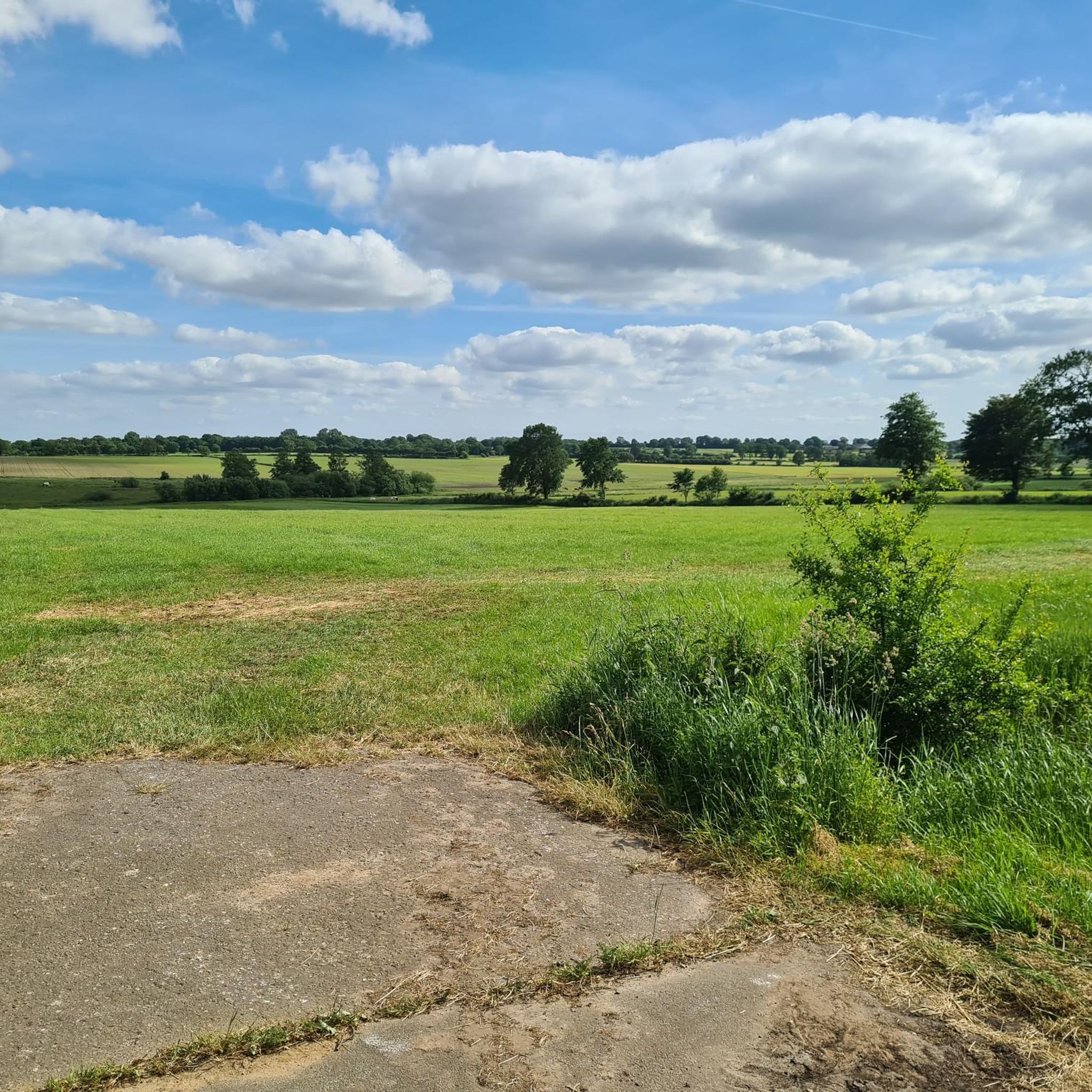
Be careful, the paths are soft and wet even during prolonged dry periods!
0
0

The cathedral is Meldorf's landmark; the imposing brick building can be seen from afar. It's centrally located on the market square. The cobblestones make it less than ideal for road bikers, although Meldorf itself is worth seeing.
2
0

Great cheeses in a small shop. You can sample and try EVERYTHING if you wish. ...
0
0

...is privately owned and therefore cannot be visited.
0
0

Very interesting story, a burial mound and an execution site.
0
0

The bridge of the L 126, which crosses the Eider between Hamdorf and Breiholz, has a very beautiful view of the Eider on the western side, especially in the evening when the light river valley appears flooded with sunlight.
2
0
The Eider River marks the border between the districts of Dithmarschen and Rendsburg-Eckernförde. The pumping station is located at the idyllic bend of the river. The red brick building is designed to pump biological wastewater from the Eider.
3
0
A memorial to the fallen soldiers of both World Wars is located at this intersection. It is a place of reflection.
3
0
Frequently Asked Questions
How many road cycling routes are available around Schrum?
There are over 110 road cycling routes available around Schrum, catering to various preferences and fitness levels. This includes a mix of easy, moderate, and a few more challenging options.
What kind of terrain can I expect when road cycling in Schrum?
Road cycling in Schrum is characterized by the flat to gently undulating terrain of the Dithmarschen region. You'll primarily encounter open farmland, small villages, and a network of waterways, including canals and rivers. Routes generally have minimal elevation changes, making them suitable for extended rides.
What are the difficulty levels of road cycling routes in Schrum?
The routes around Schrum offer a range of difficulty levels. You'll find approximately 35 easy routes, over 80 moderate routes, and a few more difficult options, ensuring there's something for every cyclist.
Are there any family-friendly road cycling routes in Schrum?
Yes, the flat to gently undulating terrain around Schrum makes it ideal for family-friendly road cycling. Many of the easy routes are suitable for families, offering quiet country roads and scenic views without significant climbs. For example, the Süderholm Scenic Route – Broklandsau in Aukrug loop from Welmbüttel is an easy 17.7-mile trail that families can enjoy.
Can I find circular road cycling routes around Schrum?
Yes, many of the road cycling routes around Schrum are designed as circular loops, allowing you to start and end at the same point. This is convenient for parking and exploring the area without retracing your steps. Examples include the Giselau Lock – Lexfähre Pumping Station loop from Welmbüttel and the Eider Bridge Lexfähre – Lexfähre Pumping Station loop from Welmbüttel.
What can I see along the road cycling routes in Schrum?
While cycling around Schrum, you can enjoy views of open farmland, quiet country roads, and numerous waterways. You might also encounter interesting man-made structures and natural features. Notable attractions include the Old Chain Ferry, Fischerhütte, the Gieselau Canal Lock and Bascule Bridge, and the Grünental High Bridge.
Are there any natural features or viewpoints along the cycling routes?
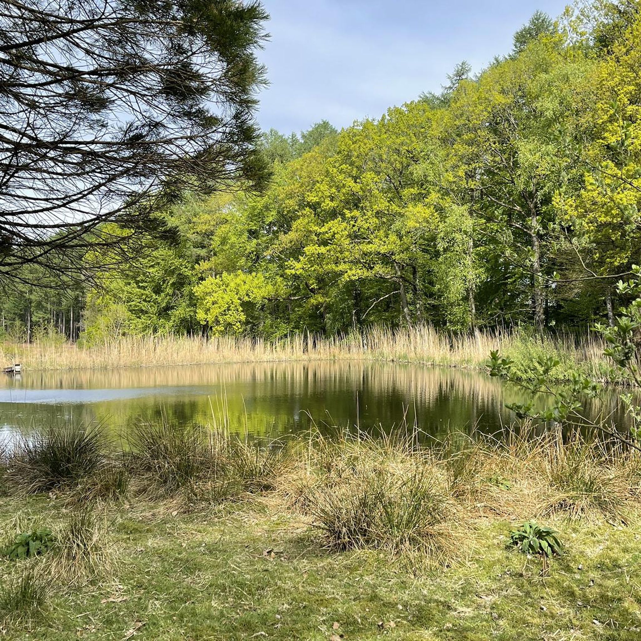
Yes, the routes offer scenic views of the Dithmarschen landscape, characterized by open fields and waterways. You can also find natural highlights such as the Moor pools in the Ostroher-Süderholmer Moor and the Fieler Moor Nature Reserve, which provide tranquil spots to enjoy the natural surroundings.
What do other road cyclists enjoy the most about road cycling in Schrum?
The road cycling routes in Schrum are highly rated by the komoot community, with an average score of 4.2 stars from over 30 reviews. Cyclists often praise the quiet country roads, the scenic views of open farmland and waterways, and the generally flat terrain that makes for enjoyable, extended rides.
Are there any specific landmarks or points of interest to look out for?
Beyond the natural beauty, you can spot several landmarks. Keep an eye out for the Gieselau Canal Lock and Bascule Bridge, which is a significant piece of water infrastructure, and the impressive Grünental High Bridge. The Old Chain Ferry, Fischerhütte also offers a glimpse into local history.
When is the best time of year for road cycling in Schrum?
The Dithmarschen region, with its flat to gently undulating terrain, is generally pleasant for road cycling from spring through autumn. Spring offers fresh greenery and potentially bird migrations, while summer provides longer daylight hours. Autumn brings cooler temperatures and changing colors, making it another excellent season for exploring the open farmland and waterways.
Are there options for longer road cycling excursions?
Yes, Schrum offers several longer routes for those looking for extended rides. For example, the Eider Bridge Lexfähre – Lexfähre Pumping Station loop from Welmbüttel is a 35.1-mile (56.4 km) trail that can be completed in about 2 hours 28 minutes, leading through the flatlands and past the Eider Bridge.
Most popular attractions around Schrum

Get inspired with the komoot mobile app


Explore more
Browse the best Road cycling routes in other regions.
