The best walks and hikes around Schönkirchen-Reyersdorf
4.5
(576)
2,471
hikers
307
hikes
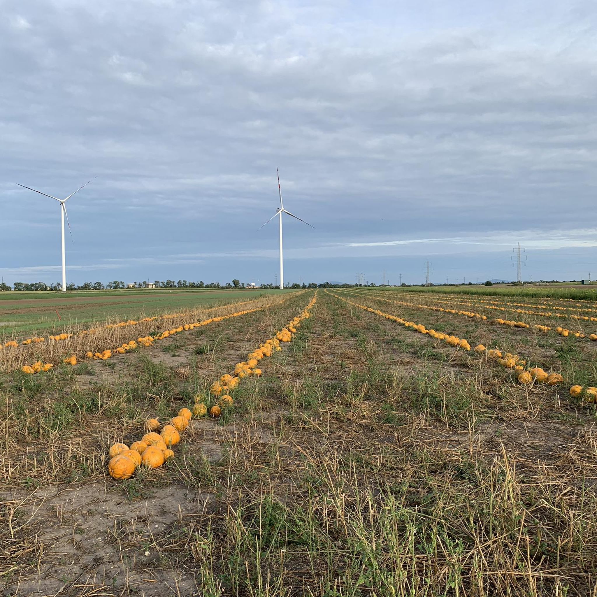
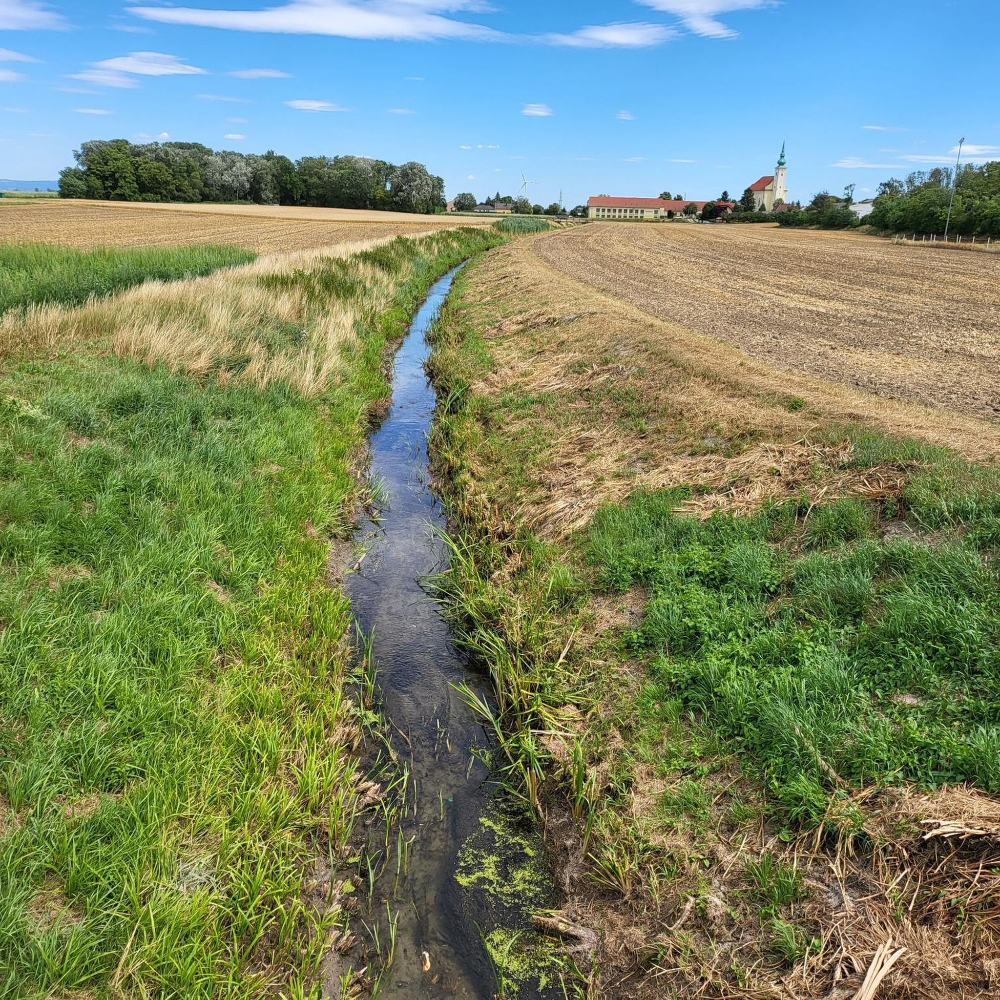
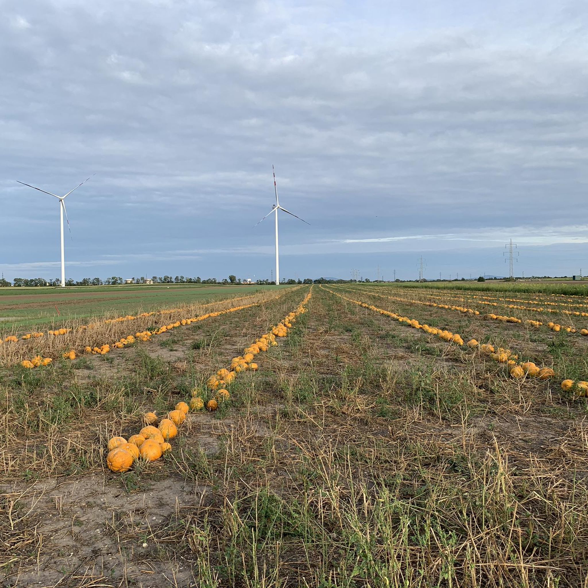
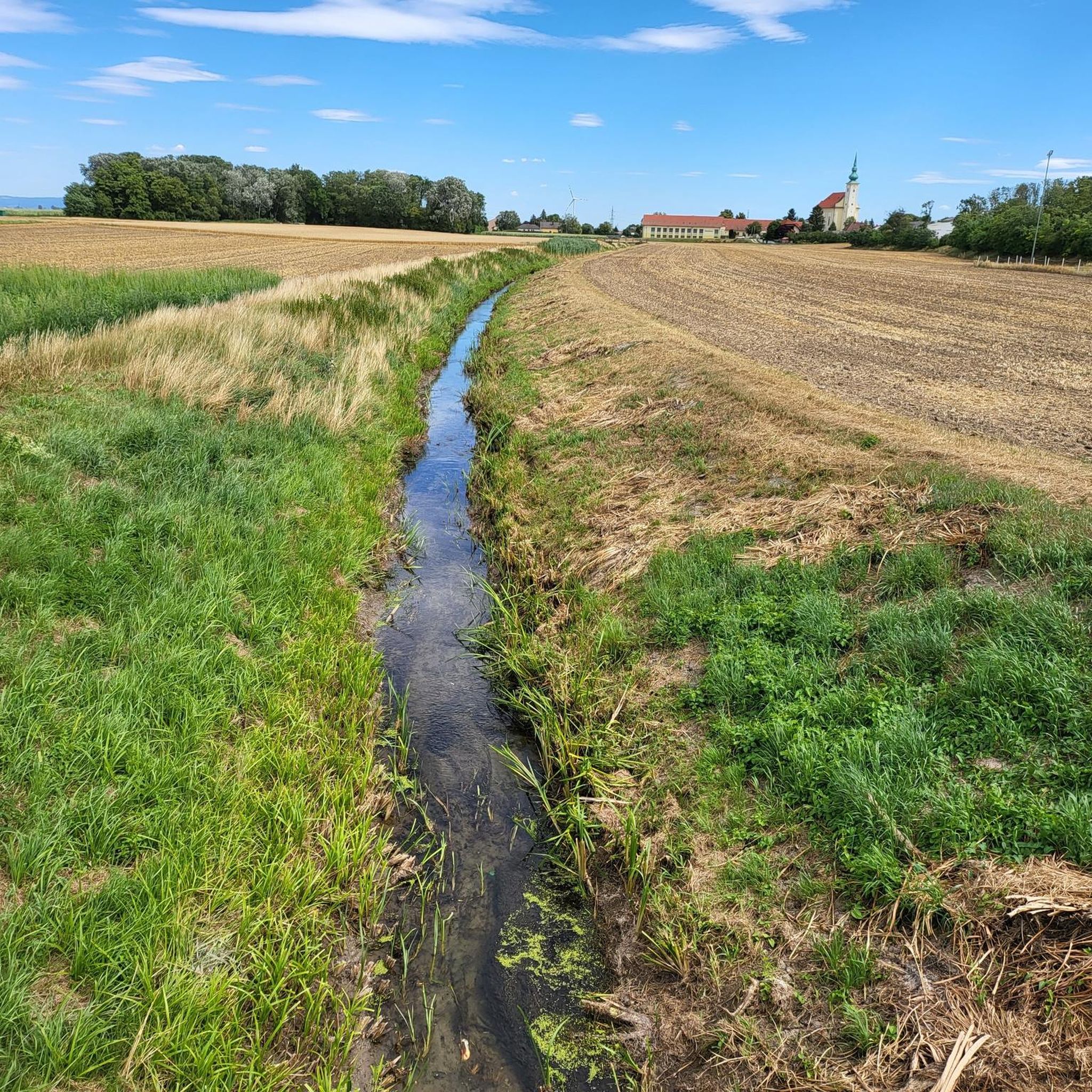
Hiking trails around Schönkirchen-Reyersdorf are primarily characterized by rolling hills and agricultural landscapes typical of the Weinviertel region in Lower Austria. The area features open fields, interspersed with small forests and local villages. Elevation changes are generally gentle, making the terrain accessible for various activity levels.
Best hiking trails around Schönkirchen-Reyersdorf
- The most popular hiking route is View of the Rolling Hills – Biotope with Frog Chorus loop from Auersthal, a 6.5 miles (10.4 km) trail that takes 2…
Last updated: October 18, 2026
5.0
(2)
17
hikers
10.4km
02:49
140m
140m
Moderate hike. Good fitness required. Easily-accessible paths. Suitable for all skill levels.
23
hikers
5.87km
01:30
20m
20m
Easy hike. Great for any fitness level. Easily-accessible paths. Suitable for all skill levels.

4.7
(3)
18
hikers
Easy hike. Great for any fitness level. Easily-accessible paths. Suitable for all skill levels.
4.0
(1)
10
hikers
4.82km
01:14
20m
20m
Easy hike. Great for any fitness level. Easily-accessible paths. Suitable for all skill levels.
9
hikers
Easy hike. Great for any fitness level. Easily-accessible paths. Suitable for all skill levels.
Get access to more routes and recommendations from other explorers.
Already have an account?
Our route recommendations are based on thousands of hikes, rides, and runs completed by other people on komoot.
Start today with a free account
Your next adventure awaits.

Tips from the Community

The Simandl fountain in Raggendorf is made of sandstone and bronze and shows a naked female figure who holds her hands graciously and superiorly over the man's head. The rolling pin refers to the Simandl fountain in Krems. The structure was designed in 1996 by the artist Virgilius Moldovan. Simandl is an expression used to describe a spouse who is subordinate to the lady of the house. In the 16th and 17th centuries the word was very common and is derived from the words "male woman" or "she-male". Source: www.noe-3d.at/matzen-raggendorf_simandlbrunnen.php
5
0

A large playground with a BMX track
2
0


easy to reach chapel on the edge of the forest.
1
0
Nice landscaped park, with a duck pond and lots of ducks and geese
3
0
Frequently Asked Questions
How many hiking trails are available around Schönkirchen-Reyersdorf?
There are over 330 hiking trails around Schönkirchen-Reyersdorf, offering a wide variety of options for different preferences and fitness levels. The majority, over 200, are classified as easy.
Are there easy hiking trails suitable for beginners or casual walkers?
Yes, Schönkirchen-Reyersdorf is very beginner-friendly. Over 200 of the available routes are rated as easy. An excellent option is the Volksschule Gänserndorf loop from Gänserndorf, an easy 3.7-mile (5.9 km) path that provides a gentle walk through the town.
What kind of scenery can I expect on the hiking trails?
The trails primarily feature the rolling hills and agricultural landscapes characteristic of the Weinviertel region. You'll find open fields, interspersed with small forests and local villages. The elevation changes are generally gentle, offering pleasant views of the surrounding countryside.
Are there any circular hiking routes in the area?
Yes, many routes around Schönkirchen-Reyersdorf are designed as loops. For example, the View of the Rolling Hills – Biotope with Frog Chorus loop from Auersthal is a popular moderate circular trail, offering scenic vistas and a chance to experience local nature.
How long do hikes typically take in Schönkirchen-Reyersdorf?
Hike durations vary depending on the route's length and your pace. Many easy trails can be completed in 1 to 2 hours. For instance, the St. Hubert's Chapel – Matzen Castle (Lower Austria) loop from Katastralgemeinde Matzen is an easy 3.5-mile (5.6 km) trail often completed in about 1 hour 31 minutes.
Are the hiking trails suitable for families with children?
Absolutely. Given the gentle terrain and numerous easy routes, many trails are well-suited for families. The Gänserndorf Nature Park loop from Gänserndorf is a great option for a family outing, offering an easy walk through a natural setting.
Can I bring my dog on the hiking trails?
Generally, dogs are welcome on most hiking trails in the region, especially those traversing open fields and forests. However, it's always advisable to keep your dog on a leash, particularly near agricultural areas or wildlife, and to check local regulations for specific nature reserves or protected areas.
Are there any notable landmarks or attractions to see along the trails?
Yes, the region offers several interesting sights. You can explore historical sites like Matzen Castle (Lower Austria) or discover natural highlights such as the Biotope with Frog Chorus. The area also features charming villages and traditional Kellergassen (wine cellar lanes).
When is the best time of year to go hiking in Schönkirchen-Reyersdorf?
The Weinviertel region is beautiful for hiking from spring through autumn. Spring brings blooming fields, while autumn offers vibrant colors and pleasant temperatures. Summer is also suitable, though it's best to hike in the mornings or late afternoons to avoid the midday heat. Winter hiking is possible, but trails might be muddy or icy.
What do other hikers enjoy most about hiking in Schönkirchen-Reyersdorf?
The area is highly rated by the komoot community, with an average score of 4.5 stars from nearly 500 reviews. Hikers often praise the peaceful, accessible trails, the charming rural scenery, and the well-maintained paths that make for an enjoyable outdoor experience.
Are there trails that pass by cafes or places for refreshments?
Many routes pass through or near local villages where you can find traditional Gasthäuser (inns) or cafes. The Watering Can Garden – Kellergasse Raggendorf loop from Raggendorf, for instance, offers a chance to explore the charming Kellergasse Raggendorf, which often features local wine taverns.
Is parking available at the trailheads?
Yes, parking is generally available in or near the starting points of many trails, especially in the villages. It's common to find public parking spaces or designated areas for hikers. Always check local signage for any restrictions.
Most popular routes around Schönkirchen-Reyersdorf
Most popular attractions around Schönkirchen-Reyersdorf

Get inspired with the komoot mobile app


Explore more
Browse the best Hikes in other regions.
