The best mountain hikes around Cernobbio
5.0
(5)
27
hikers
4
hikes
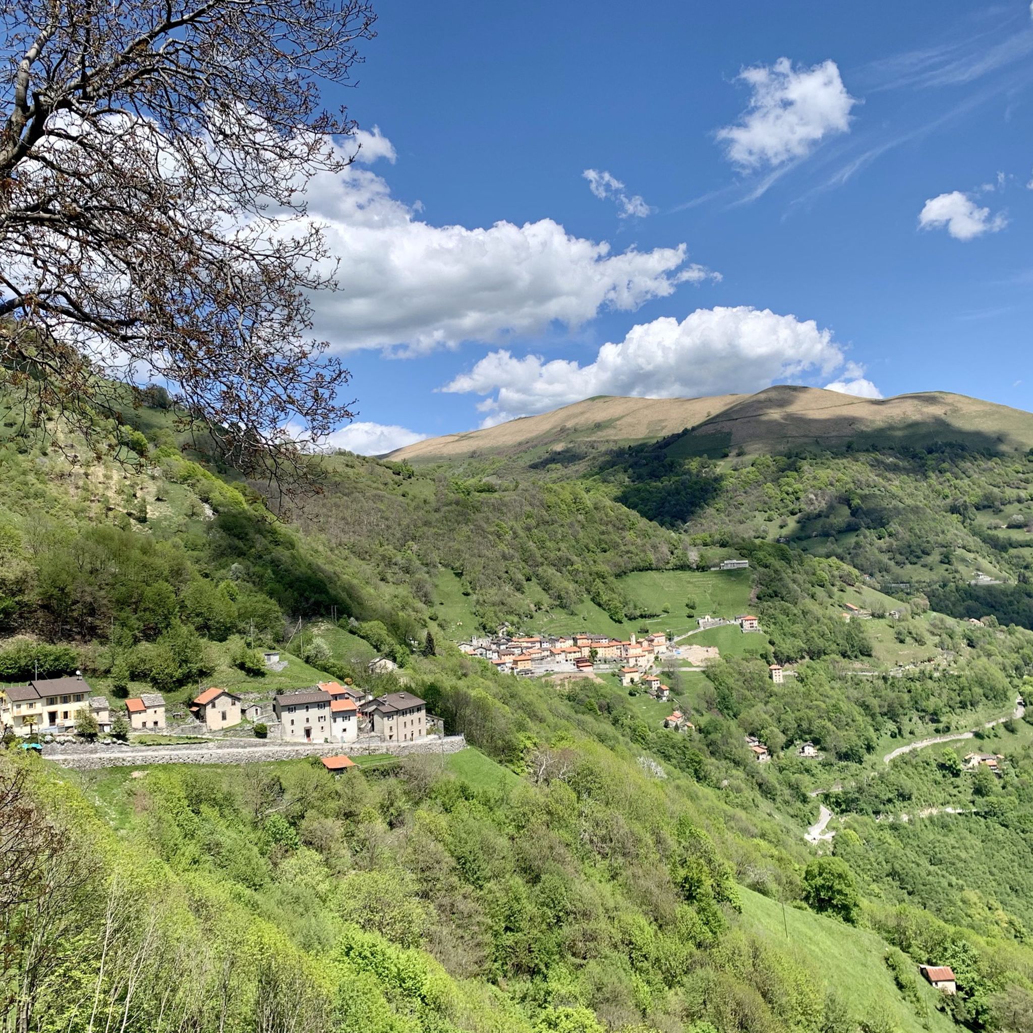
Mountaineering routes Cernobbio are situated on the western shore of Lake Como, at the base of Monte Bisbino and the pre-Alps. The region features a diverse landscape, offering an extensive network of trails that traverse mountains, lush chestnut forests, and clear streams. Elevations range from lakeside paths to challenging climbs up peaks like Monte Bisbino, the highest point in the municipality at 1,325 meters. This varied terrain provides opportunities for different levels of mountaineering experience.
Best mountaineering routes around Cernobbio
…Last updated: October 14, 2026
5.0
(1)
9
hikers
13.6km
07:07
1,190m
1,190m
Hard mountaineering route. Very good fitness required. Sure-footedness, sturdy shoes and alpine experience required.
5.0
(1)
6
hikers
11.2km
06:36
1,150m
1,150m
Hard mountaineering route. Very good fitness required. Sure-footedness, sturdy shoes and alpine experience required.

5.0
(1)
5
hikers
12.8km
05:35
820m
810m
Hard mountaineering route. Very good fitness required. Sure-footedness, sturdy shoes and alpine experience required.
5.0
(2)
4
hikers
9.16km
03:40
570m
570m
Moderate mountaineering route. Good fitness required. Mostly accessible paths. Sure-footedness required.
2
hikers
4.59km
01:42
280m
280m
Moderate mountaineering route. Great for any fitness level. Mostly accessible paths. Sure-footedness required.
Our route recommendations are based on thousands of hikes, rides, and runs completed by other people on komoot.
Start today with a free account
Your next adventure awaits.
Tips from the Community

SAT Mendrisio connects it to a Celtic root, with the meaning of “bushy area” or “fenced area where livestock is kept”. It was precisely there, in the locality of Baraghetto, that Countess Carla Nobili Vitelleschi had the small house known as Cà dala mata or Casa della contessa built.
0
0

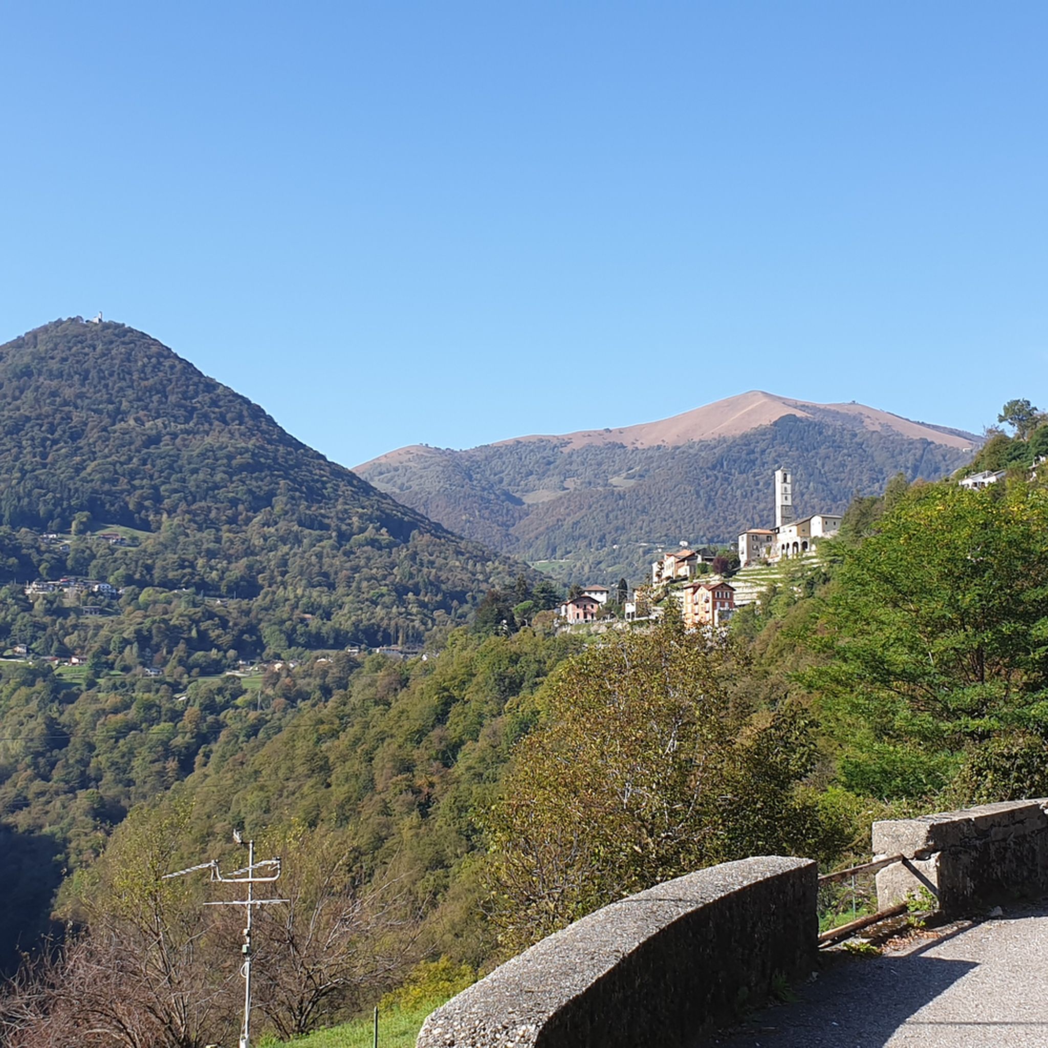
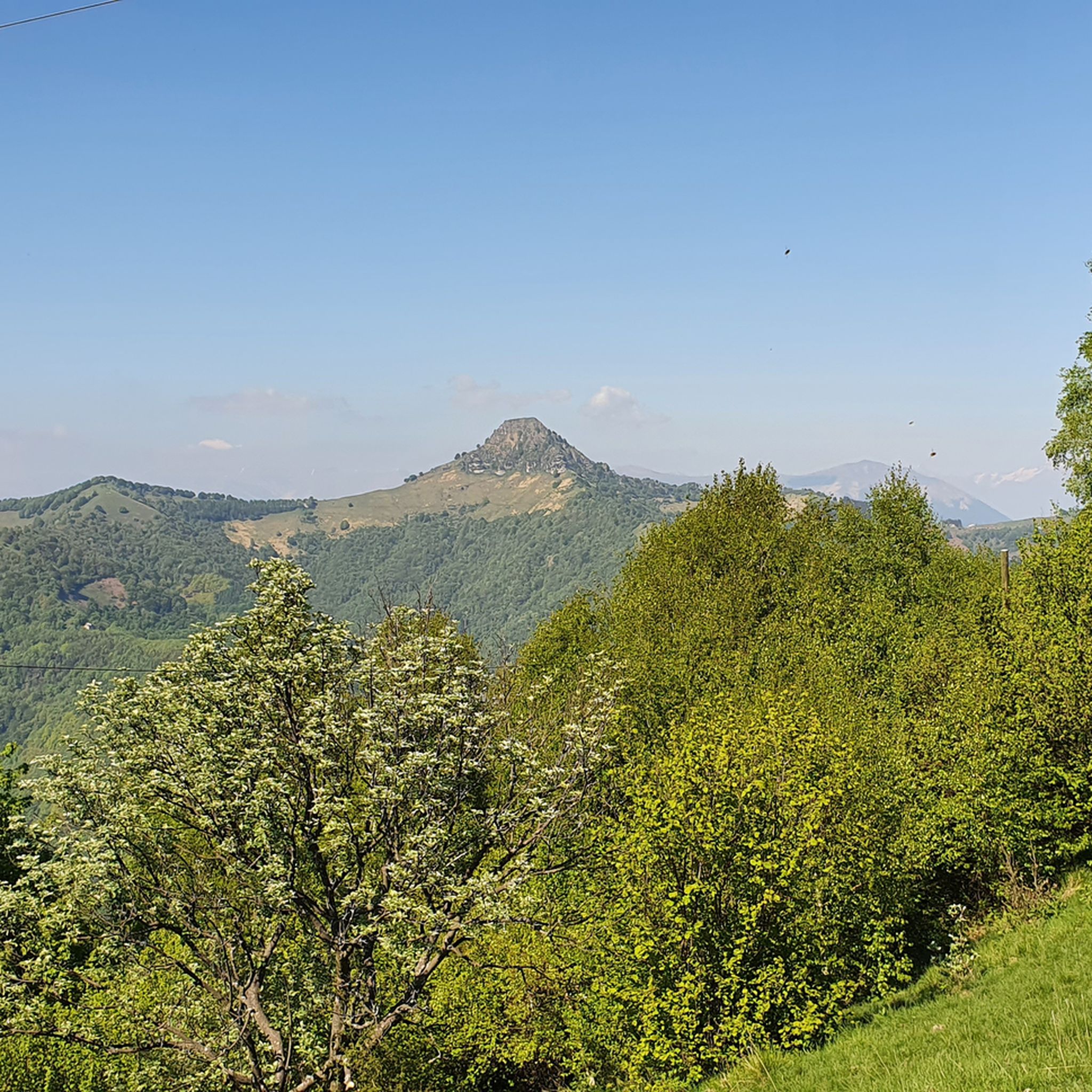
From Mount Generoso you can see Switzerland, Brianza, the Varese area and the mountains of Valsassina.
0
0
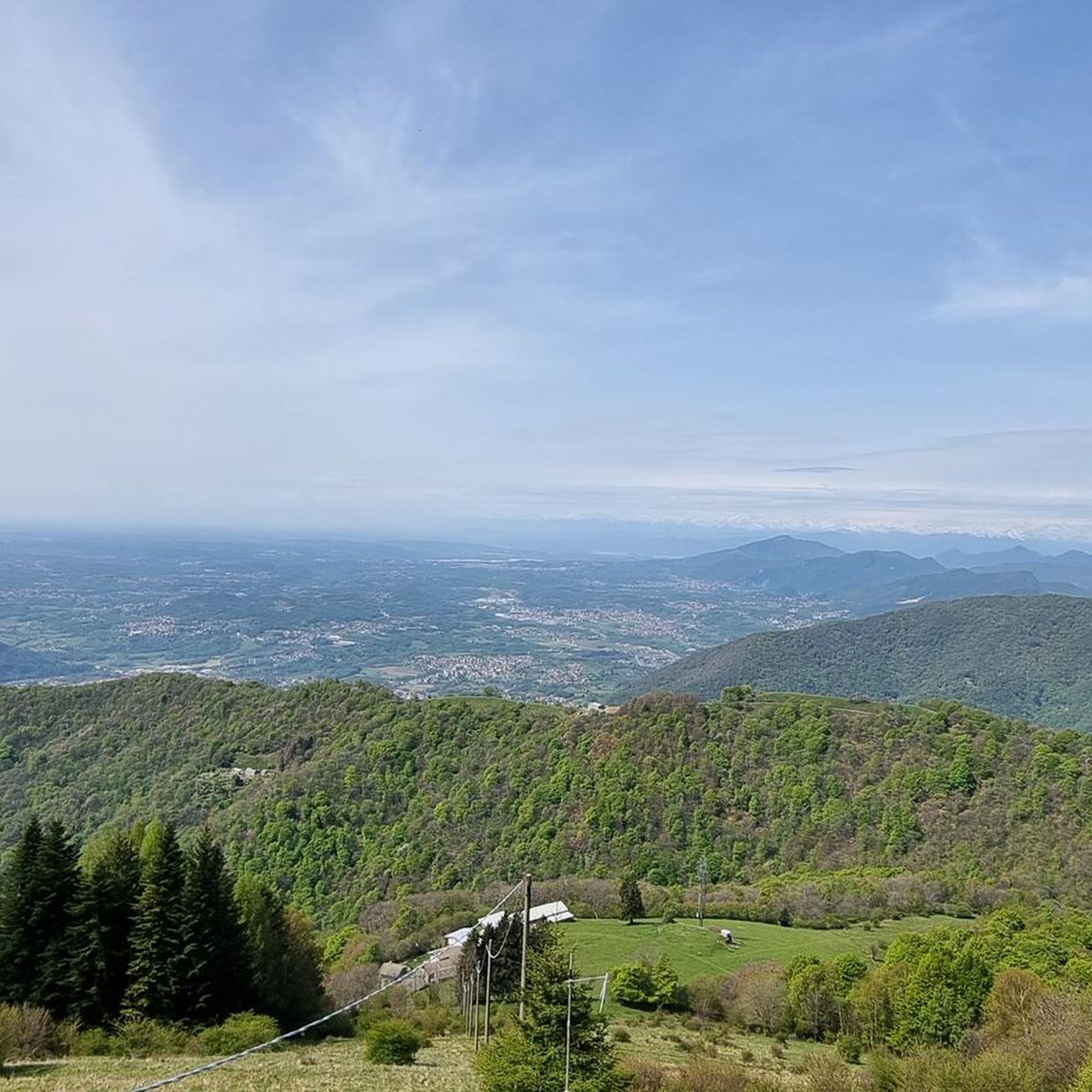
Beautiful 360° view
0
0
On the path to Mount Generoso
0
0
Italy-Switzerland border
0
0
We passed through Mount Generoso
0
0
From the top you can enjoy a 360° panorama of the Alps, the mountains of Valsassina, Lugano and the plain.
0
0
Structure just below Mount Generoso, here arrives the train that leaves from the Swiss side, the structure houses a restaurant
0
0
Frequently Asked Questions
How many mountaineering routes are available around Cernobbio?
There are 7 distinct mountaineering routes around Cernobbio featured in this guide, offering a variety of experiences for different skill levels. These routes range from moderate to difficult, providing ample opportunities to explore the region's stunning landscapes.
Are there any circular mountaineering routes in the Cernobbio area?
Yes, several routes are designed as loops, allowing you to start and end in the same location. For example, you could try the moderate Mountaineering loop from Melano or the more challenging Bocchetta d'Orimento loop from Monte Generoso.
What kind of natural attractions or landmarks can I expect to see along the mountaineering routes?
The routes around Cernobbio offer diverse natural beauty and points of interest. You might encounter stunning waterfalls like the Waterfall and Panoramic Terrace of Val Mara, or dramatic gorges such as the Nesso Gorge. Many trails also provide breathtaking views of Lake Como and the surrounding mountains, including Monte Bisbino.
Are there any mountain huts or refuges available on or near the mountaineering trails?
Yes, the region has several mountain huts that can serve as resting points or destinations. Notable options include Capanna Mara, Rifugio Prabello, and Murelli Hut. These provide opportunities for refreshment and shelter during your mountaineering adventures.
What is the best time of year for mountaineering in Cernobbio?
The best time for mountaineering in Cernobbio is generally from spring to autumn (April to October). During these months, the weather is more stable, and trails are typically clear of snow, offering optimal conditions for exploring the diverse landscape, from lush chestnut forests to higher alpine terrain.
Are there any easier mountaineering routes suitable for beginners or those looking for a less strenuous experience?
While many routes offer a challenge, there are moderate options available. For instance, the Faro Voltiano of Brunate loop from Como is a shorter, moderate route with less elevation gain, making it a good choice for those seeking a less strenuous mountaineering experience.
What are the more challenging mountaineering routes for experienced climbers?
For experienced mountaineers seeking a challenge, routes like the Faro Voltiano of Brunate – Como Covered Market loop from Como Nord Borghi offer significant distance and elevation gain. The Bocchetta d'Orimento loop from Monte Generoso is another difficult option, providing a demanding ascent with rewarding views.
What do other mountaineers say about the routes in Cernobbio?
The mountaineering routes in Cernobbio are highly regarded by the komoot community, holding an average rating of 5.0 stars from over 6 reviews. Mountaineers often praise the varied terrain, the stunning views of Lake Como, and the well-maintained trails that traverse lush forests and challenging peaks.
Are there any routes that offer panoramic views of Lake Como and the Alps?
Absolutely. Many routes in the Cernobbio area provide spectacular panoramic views. Ascents to prominent peaks like Monte Bisbino offer expansive vistas of Lake Como, the surrounding mountains, and even glimpses of the distant Alps on clear days. The View of Lake Lugano from Monte San Giorgio is another highlight offering incredible perspectives.
Can I reach the starting points of these mountaineering routes using public transport?
Cernobbio itself is well-connected, and some routes may be accessible via local public transport options from Cernobbio or nearby towns like Como. It's advisable to check local bus or train schedules to plan your journey to the specific starting points of the routes, especially for those originating further afield like Melano or Albese con Cassano.
Are there any routes that pass through historical sites or unique natural features?
Yes, some trails offer more than just natural beauty. For instance, routes leading up Monte Bisbino may pass through historic WWI trenches and bunkers, adding a historical dimension to your mountaineering experience. You might also encounter unique geological formations like the Nesso Gorge and Civera Bridge.
What is the typical elevation gain on the mountaineering routes around Cernobbio?
The elevation gain varies significantly depending on the route's difficulty. Moderate routes, such as the Faro Voltiano of Brunate loop from Como, might have around 280 meters of ascent. More difficult routes, like the Faro Voltiano of Brunate – Como Covered Market loop from Como Nord Borghi, can involve nearly 1000 meters of elevation gain, offering a substantial physical challenge.
Most popular routes around Cernobbio
Most popular attractions around Cernobbio

Get inspired with the komoot mobile app


Explore more
Browse the best Mountain Hikes & Routes in other regions.
