The best cycling routes around Senerchia
5.0
(10)
169
riders
24
rides
Touring cycling routes around Senerchia are set within the Monti Picentini mountain range, offering diverse landscapes and challenging terrain. The region is characterized by significant ascents and descents, with routes often traversing through mountainous areas and natural parks. Cyclists can expect varied environments, from forested paths to open stretches with notable elevation changes. This area provides a blend of physical challenge and natural beauty for touring cyclists.
Best touring cycling routes around Senerchia
- The most popular touring cycling route is…
Last updated: October 11, 2026
12
riders
53.0km
05:34
1,670m
1,670m
Hard bike ride. Very good fitness required. You may need to push your bike for some segments of this route.
5.0
(1)
6
riders
52.1km
03:28
830m
830m
Hard bike ride. Very good fitness required. Mostly paved surfaces. Suitable for all skill levels.

8
riders
44.3km
02:56
670m
670m
Hard bike ride. Very good fitness required. Mostly paved surfaces. Suitable for all skill levels.
5.0
(1)
6
riders
36.9km
02:36
690m
690m
Hard bike ride. Very good fitness required. Mostly paved surfaces. Suitable for all skill levels.
8
riders
37.1km
03:38
1,300m
1,300m
Hard bike ride. Very good fitness required. Mostly paved surfaces. Suitable for all skill levels.
Get access to more routes and recommendations from other explorers.
Already have an account?
Our route recommendations are based on thousands of hikes, rides, and runs completed by other people on komoot.
Start today with a free account
Your next adventure awaits.
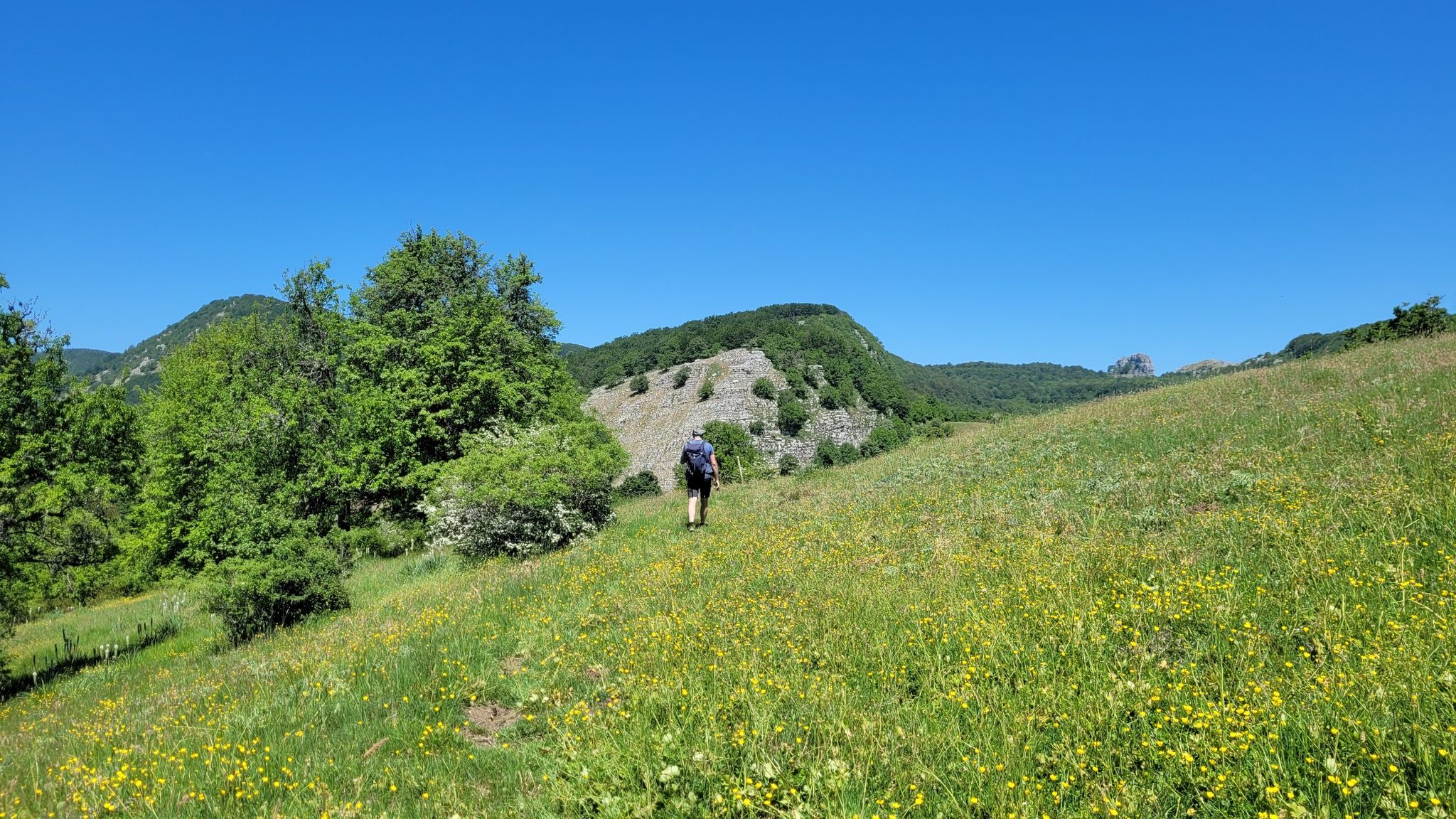
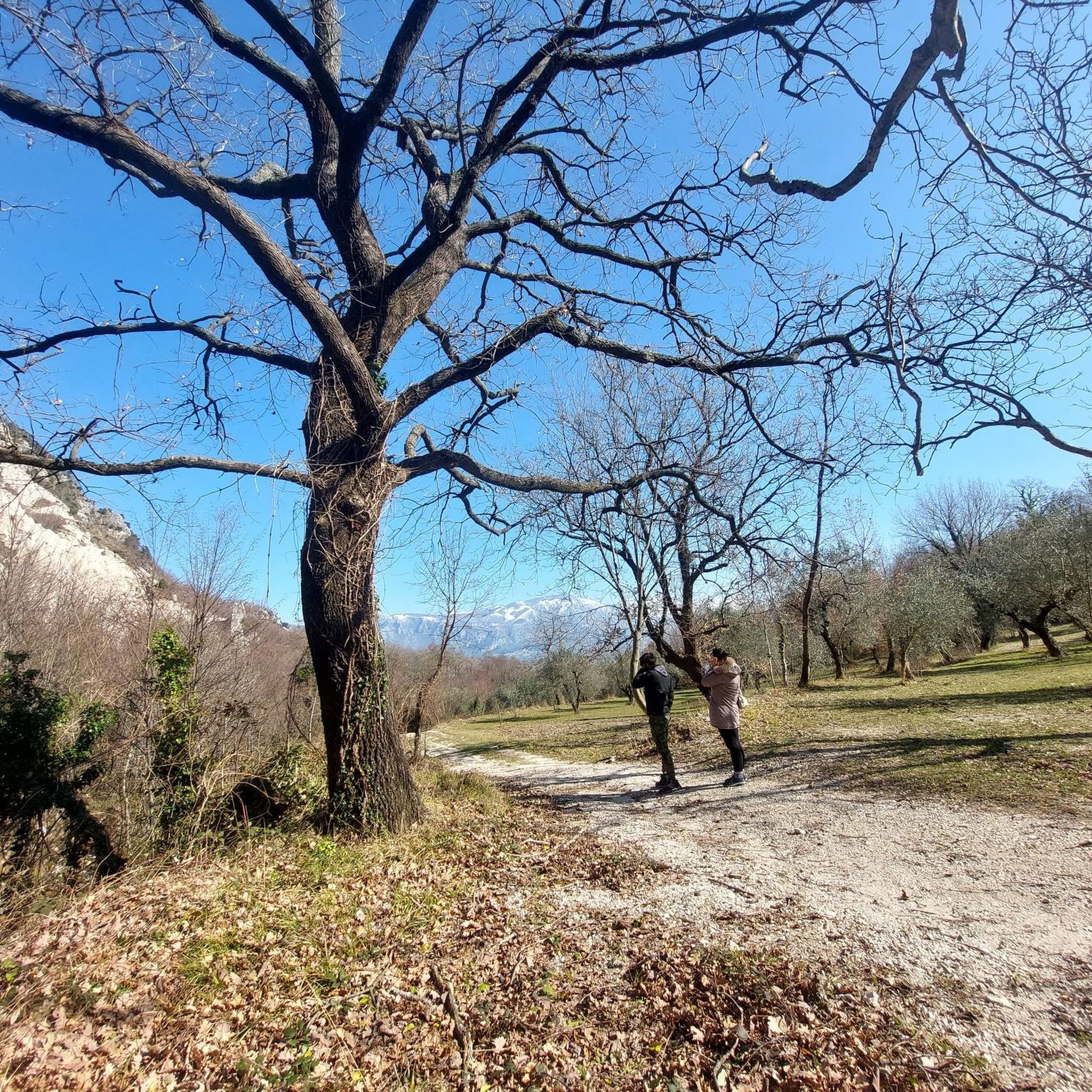
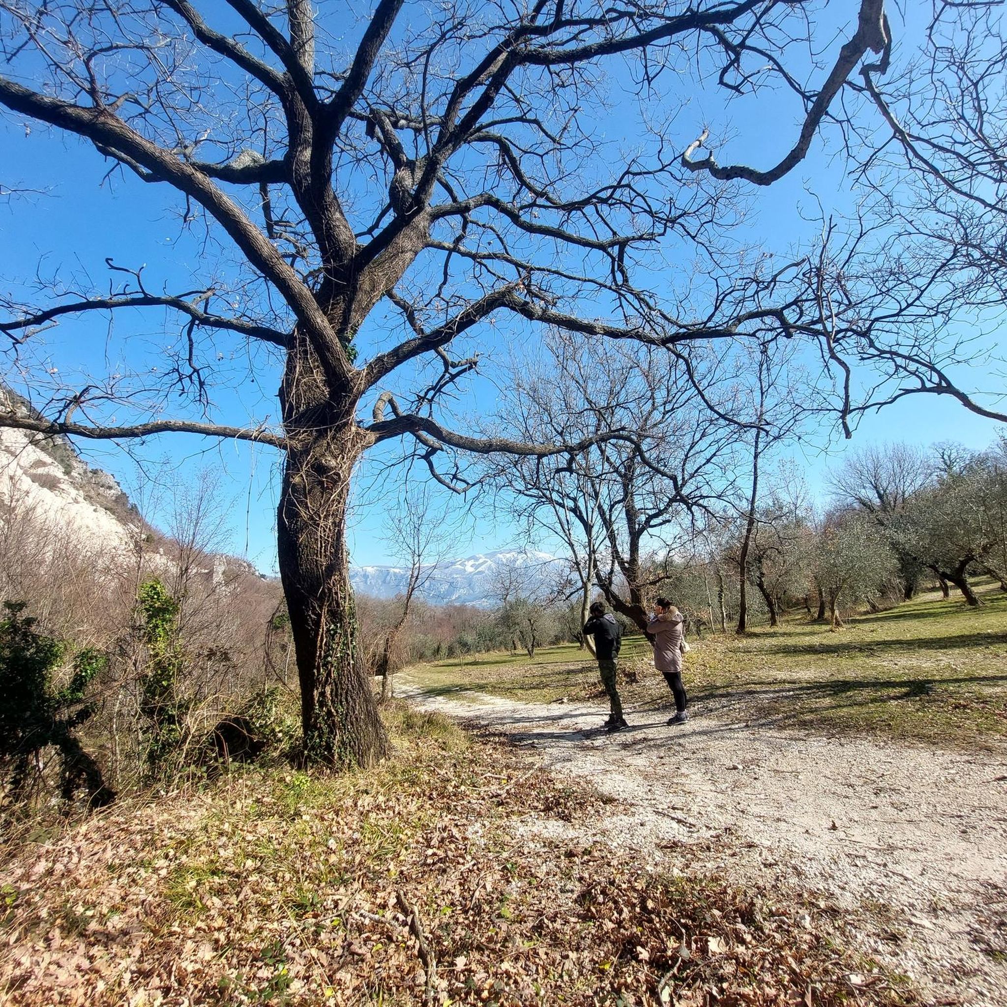
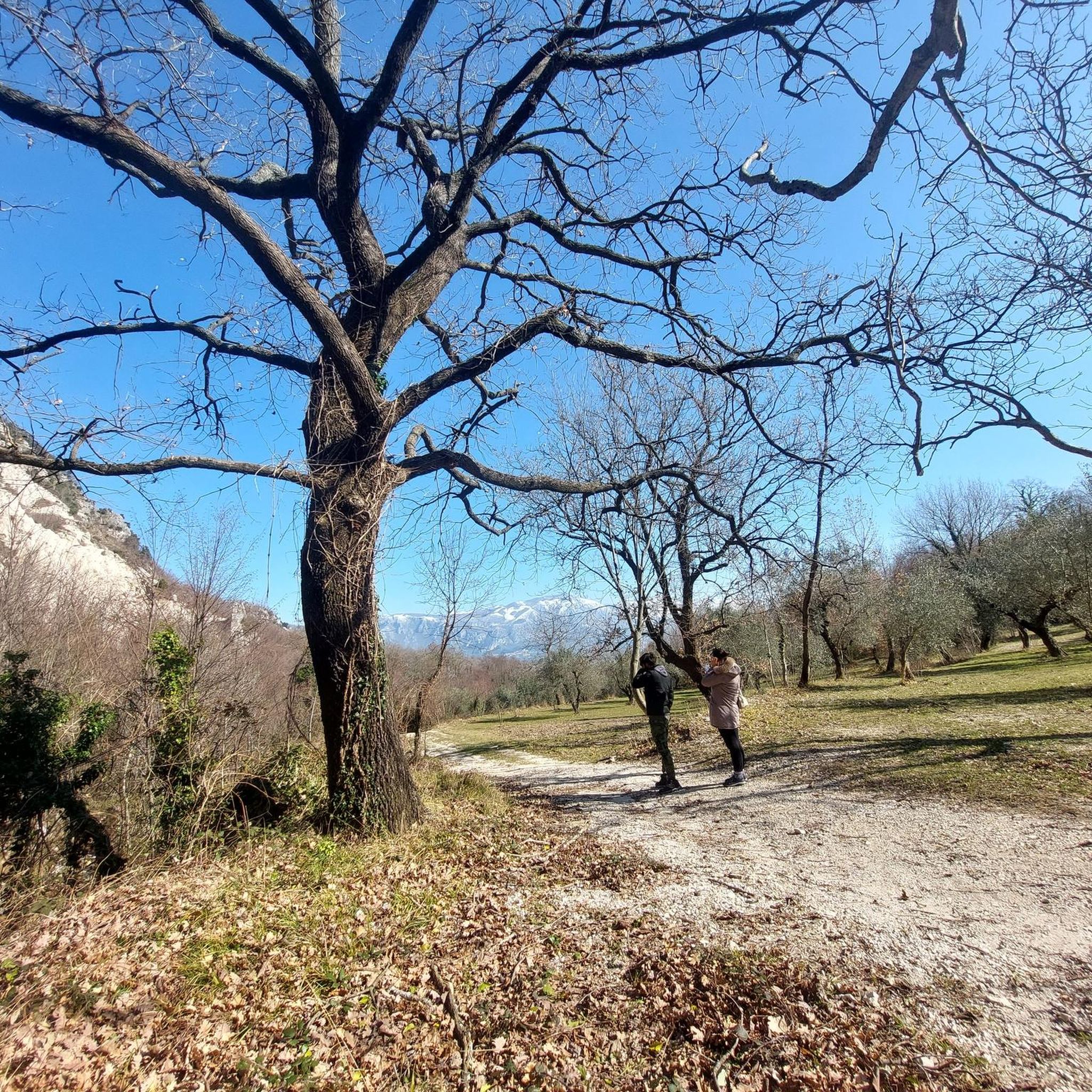
Other adventures around Senerchia

Tips from the Community

The medieval village of Quaglietta, home to an ancient castle, lies in the homonymous hamlet of Calabritto and is the main attraction in the Irpinia municipality. The village is dominated by a mighty fortress dating back to the Lombard era.
13
0
Fabulous mural in the center of Quaglietta.
11
0
Directions to the beautiful medieval village of Quaglietta.
13
0
Welcome sign to Quaglietta.
12
0
Entrance to Quaglietta, the only hamlet of the municipality of Calabritto in the province of Avellino, in the Sele Valley. In 1927, the autonomous municipality of Quaglietta was merged with that of Calabritto, becoming its own hamlet.
12
0
A small tributary of the Sele River near Seperoni, between the provinces of Salerno and Avellino. In the background, from left, you can see: Monte La Picciola (1,524 m); Monte della Croce (1,530 m); Monte Boschetiello (1,574 m); and Monte Altillo (1,432 m).
11
0
Border point between the provinces of Salerno and Avellino in the Seperoni area.
12
0
A beautiful piece of a Roman aqueduct, restored and perfectly preserved, near the Oliveto Citra cemetery.
14
0
Frequently Asked Questions
How many touring cycling routes are available around Senerchia?
There are over 25 touring cycling routes around Senerchia, offering a diverse range of experiences for cyclists. The region is known for its challenging terrain within the Monti Picentini mountain range.
What is the general difficulty level of touring cycling routes in Senerchia?
Touring cycling routes in Senerchia are predominantly challenging, with 20 out of 25 routes rated as difficult. These often feature significant ascents and descents through mountainous areas. However, there are also 3 moderate and 2 easy routes available for those seeking a less strenuous ride.
Are there any circular touring cycling routes in the Senerchia area?
Yes, many routes around Senerchia are designed as loops. For example, you can explore the Roman Aqueduct loop from Oliveto Citra, which is a difficult 52.7 km path with notable climbs and descents. Another option is the Basilica of San Gerardo – Materdomini Calabritto loop from Caposele, a 37.4 km trail through the Monti Picentini foothills.
What natural attractions can I discover along touring cycling routes near Senerchia?
The region is rich in natural beauty. You can find the picturesque Acquabianca Waterfall within the Valle della Caccia Oasis, or the multi-tiered Bard'natore Waterfall. The intriguing Grotta Profunnata, a cave with stalactites and stalagmites, is also nearby. Cyclists can also enjoy views of Laceno Lake, which offers captivating vistas that change with the seasons.
Are there any historical or cultural landmarks to see while cycling in Senerchia?
Yes, the area blends natural grandeur with historical depth. You can visit the ancient Romanesque rock church of Madonna del Fiume. The region also features charming historic centers, such as those encountered on the Historic Alleys of Collianello – Colliano Historic Center loop from Colliano.
What do other touring cyclists enjoy most about cycling in Senerchia?
The area is highly rated by the komoot community, with an average score of 5.0 stars from 6 reviews. Cyclists often praise the blend of physical challenge and natural beauty, particularly the diverse landscapes and the serene atmosphere within the Cilento, Vallo di Diano, and Alburni National Park.
What is the best time of year for touring cycling in Senerchia?
The mountainous terrain of Senerchia, including the ascent of Monte Polveracchio, suggests that spring and autumn would be ideal for touring cycling. These seasons offer more moderate temperatures, avoiding the intense heat of summer and the potential for snow or colder conditions in winter, especially at higher elevations.
Are there any family-friendly touring cycling routes in Senerchia?
While many routes in Senerchia are challenging, the presence of 2 easy routes suggests there are options suitable for families or those new to touring cycling. These routes would likely feature less elevation gain and more manageable distances, providing a gentler introduction to the region's beauty.
Can I bring my dog on touring cycling routes in Senerchia?
Senerchia is located within the Cilento, Vallo di Diano, and Alburni National Park, and also features the Valle della Caccia Oasis. While many natural areas welcome dogs, it's always advisable to check specific park regulations or individual route guidelines regarding pets, especially concerning leash requirements and protected wildlife areas.
Where can I find parking for my car when starting a touring cycling route in Senerchia?
Given the region's focus on outdoor activities, parking is generally available near trailheads or in the villages that serve as starting points for routes. For example, routes often start from towns like Colliano, Oliveto Citra, or Caposele, where you can typically find designated parking areas suitable for accessing the cycling trails.
Is it possible to reach Senerchia and its cycling routes using public transport with a bicycle?
Senerchia is nestled in a mountainous region, and while public transport options exist, carrying bicycles might require checking specific bus or train services for their bike policies. It's recommended to verify with local transport providers in advance, especially if planning to access more remote trailheads.
What kind of terrain can I expect on a touring cycling route like the 'Alleys of Quaglietta'?
Routes like the Alleys of Quaglietta – Entrance to Quaglietta loop from Oliveto Citra, a difficult 66.4 km route, will feature varied terrain typical of the Monti Picentini. This includes significant elevation changes, potentially steep and sometimes dusty sections, and a mix of paved and unpaved surfaces as you traverse through villages and natural landscapes.
Most popular attractions around Senerchia

Get inspired with the komoot mobile app


Explore more
Browse the best Cycling routes in other regions.
