The best walks and hikes around Aiello Del Sabato
4.2
(271)
1,015
hikers
92
hikes
Hiking around Aiello Del Sabato offers diverse landscapes, from picturesque rolling hills and vineyards to dense chestnut groves. The region is characterized by its proximity to the Picentini Mountains National Park, providing rugged terrain and scenic views. Waterways like the Sabato river and natural springs contribute to the area's rich natural environment. This varied topography supports a range of hiking trails suitable for different fitness levels.
Best hiking trails around Aiello Del Sabato
- The most popular hiking route is Pizzo…
Last updated: October 11, 2026
1
hikers
24.1km
09:11
1,500m
1,500m
This difficult 15.0-mile (24.1 km) loop hike on Monte Terminio offers panoramic views and dense beech forests in Parco Regionale dei Monti P
3.0
(2)
3
hikers
4.36km
01:28
200m
200m
Easy hike. Great for any fitness level. Easily-accessible paths. Suitable for all skill levels.

21
hikers
6.58km
01:44
60m
60m
Easy hike. Great for any fitness level. Easily-accessible paths. Suitable for all skill levels.
20
hikers
Moderate hike. Good fitness required. Easily-accessible paths. Suitable for all skill levels.
4.0
(2)
7
hikers
8.01km
02:51
440m
440m
Moderate hike. Good fitness required. Easily-accessible paths. Suitable for all skill levels.
Get access to more routes and recommendations from other explorers.
Already have an account?
Our route recommendations are based on thousands of hikes, rides, and runs completed by other people on komoot.
Start today with a free account
Your next adventure awaits.
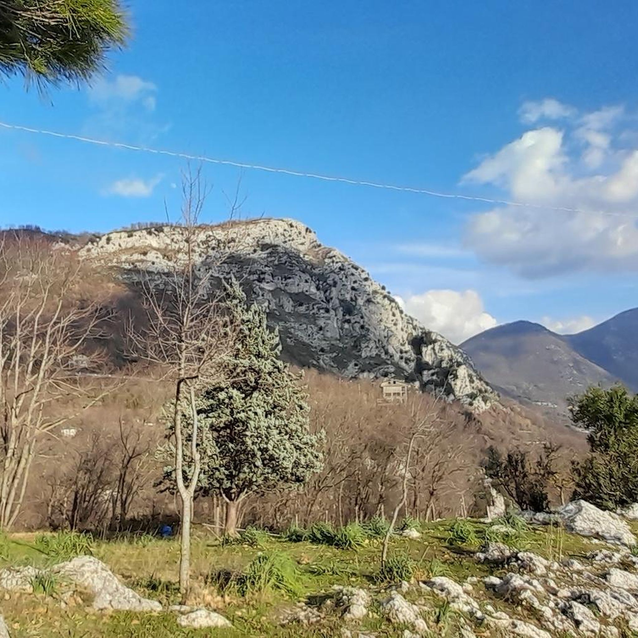
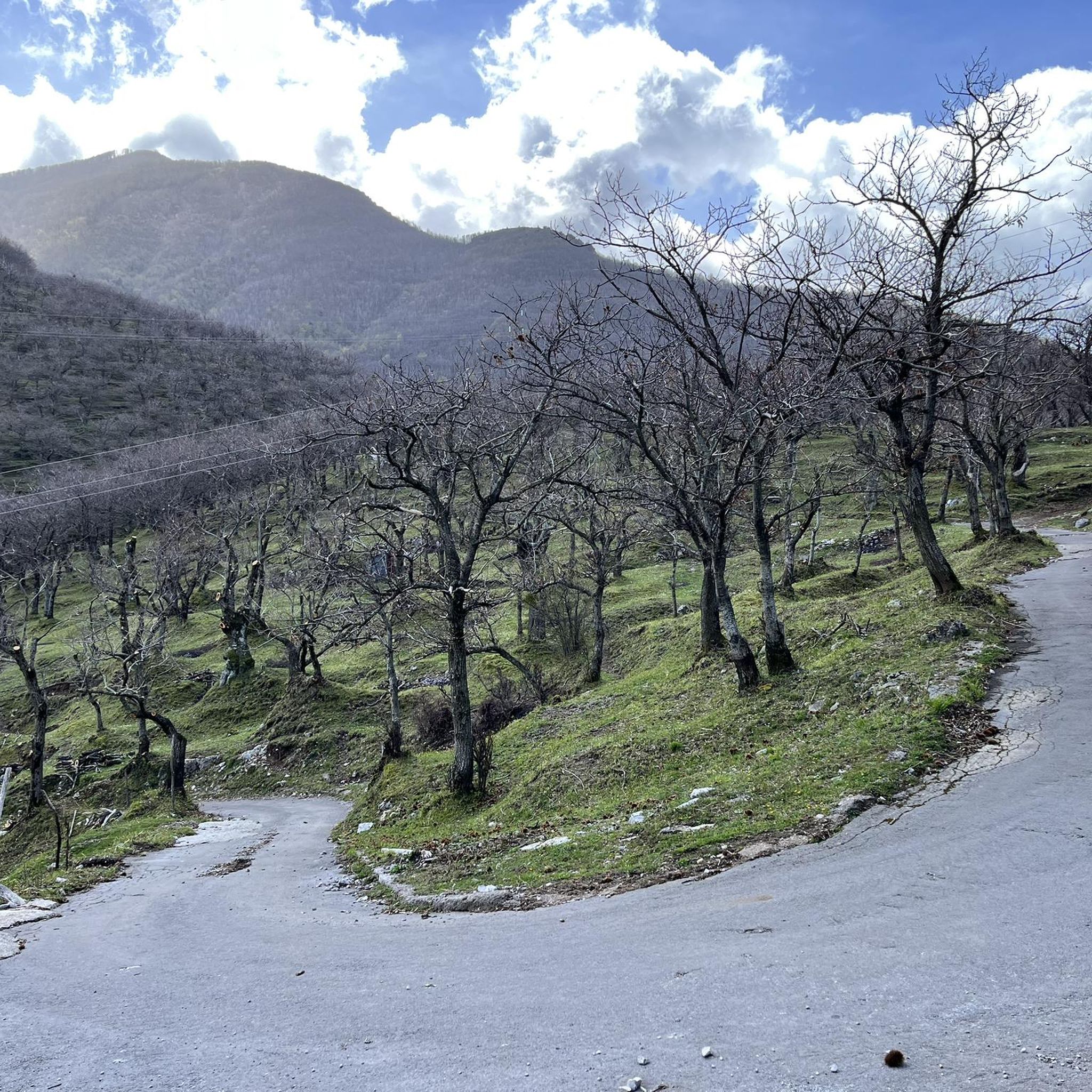
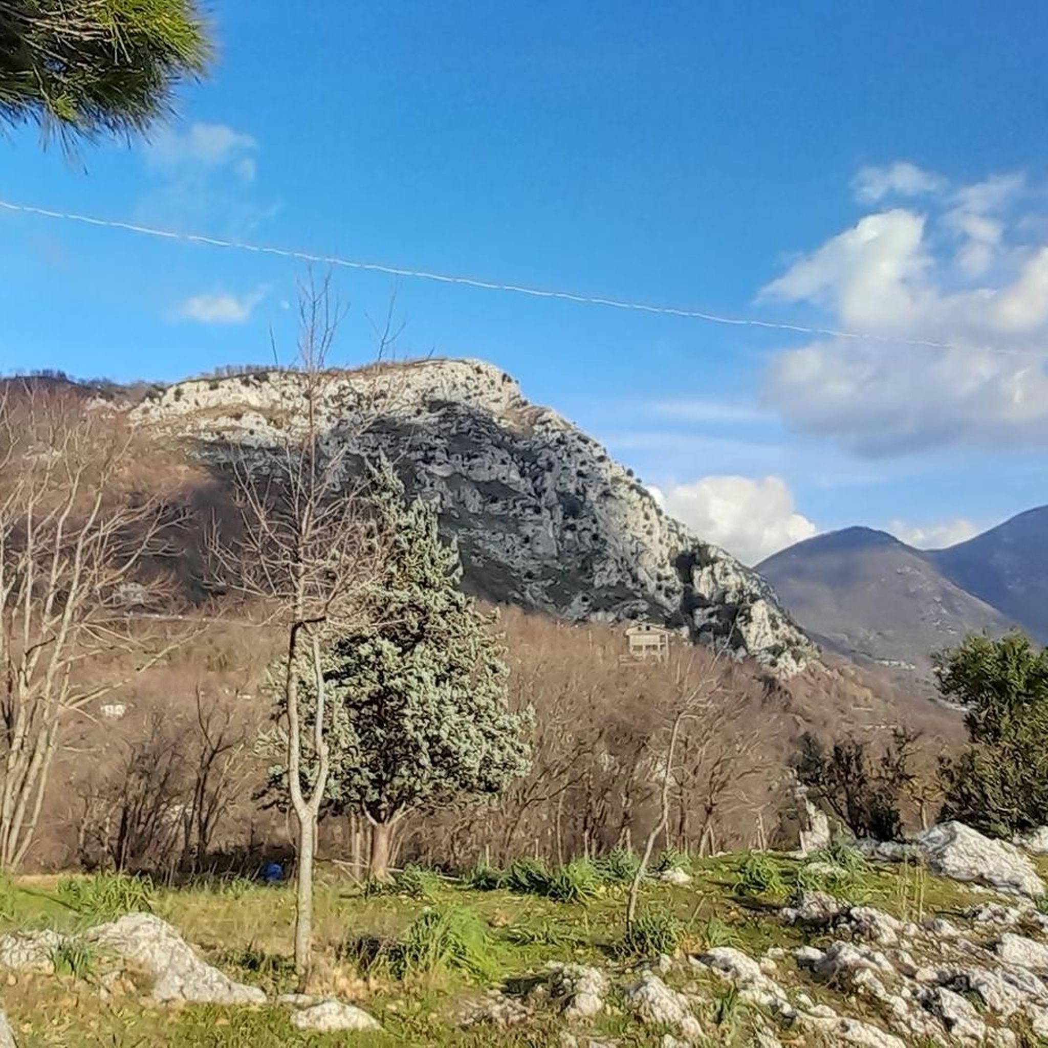
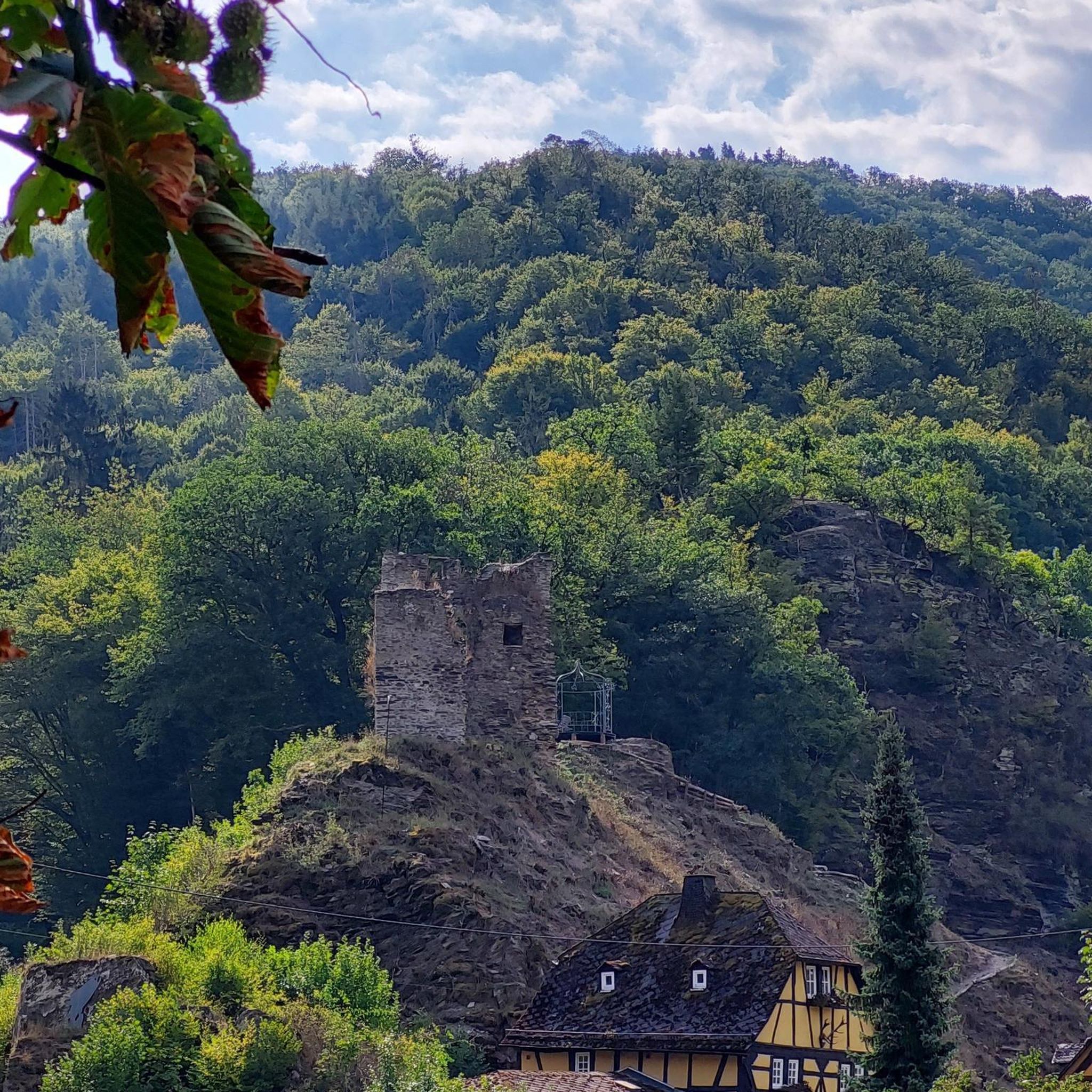
Tips from the Community

It is right here, at the top of Mount Faliesi, that the beech trees rise towards the sky.
0
0

in the historic center of Avellino, where the famous Palio della Bottega di Avellino is held
0
0

The Baroque style fountain is also known as the fountain of the three cannuoli and is located in Corso Umberto
0
0

The top of Terminio is beautiful
0
0

Few people know that this church was located in Piazza Libertà at the beginning of the 1900s...
4
0

Terminio is a mountain in the Picentini mountains, in the Campanian Apennines, in the municipalities of Volturara Irpina and Serino, in the province of Avellino
0
0
Church of the SS.mo Rosario built in 1942 in Gothic style, overlooks the main street of Avellino.
0
0

The view from the Anticima del Terminio is truly spectacular. Then in spring/summer between the summit and the anticima there is a beautiful green meadow. To reach it: trekking clothing and sturdy shoes.
2
0
Frequently Asked Questions
How many hiking trails are available in Aiello Del Sabato?
Aiello Del Sabato offers a wide selection of hiking routes, with over 65 trails to explore. These range from easy strolls to challenging treks, catering to various preferences and fitness levels.
What kind of terrain can I expect on hikes around Aiello Del Sabato?
The region features diverse landscapes, including picturesque rolling hills, expansive vineyards, and dense chestnut groves. You'll also encounter the more rugged, scenic terrain of the Picentini Mountains National Park, along with various waterways and natural springs.
Are there options for different hiking skill levels?
Yes, Aiello Del Sabato provides trails for all abilities. You can find easy hikes, such as The Feudal Castle of Serino (4.4 km), moderate paths like Troiani Trail – View of Solofra Town Center loop from Solofra (11.7 km), and challenging routes like Pizzo San Michele da Solofra – Parco dei Monti Piacentini (15.4 km).
What natural features or landmarks can I see while hiking?
Hikers can discover a variety of natural and historical points of interest. These include the Scalandrone Cave, the intriguing Grotta Profunnata, ancient trees like 'la quercia dell'incrocio', and natural springs. You can also explore highlights such as the Campo Maggiore Plateau and Lake or the Pizzo San Michele Summit and Sanctuary.
Are there any trails that feature waterfalls?
Yes, the region boasts a naturalistic spot within an educational farm that features splendid waterfalls, offering a refreshing sight during your hike. The area's local geography also includes the Aiello and Fellinola rivers, contributing to its rich natural beauty.
What do other hikers say about the trails in Aiello Del Sabato?
The trails around Aiello Del Sabato are highly rated by the komoot community, with an average score of 4.1 stars from over 200 reviews. More than 750 hikers have used komoot to explore the varied terrain, often praising the scenic views and diverse landscapes.
Are there any long-distance hiking routes in the area?
For more avid hikers, there are segments of multi-day routes available, such as a portion of the '14 - CAMPAGNA - Itinerario a tappe A' which spans over 500 km, and '110 - SI Tappa S13 Campania' (22.4 km).
Are there circular hiking routes available?
Yes, many trails in the region are designed as loops, allowing you to start and end at the same point. An example is the challenging Monte Terminio – loop tour in the Parco Regionale dei Monti Picentini, which offers extensive views.
What is the best time of year to go hiking in Aiello Del Sabato?
The diverse landscapes, including vineyards and chestnut groves, make hiking enjoyable across different seasons. Spring and autumn are particularly beautiful, with pleasant temperatures and vibrant colors, though the region offers charm year-round.
Are there any family-friendly hiking options?
While specific family-designated trails aren't listed, the area offers several easy hikes suitable for families. Routes with up to 2 hours duration and 1,000 feet of elevation gain, like The Feudal Castle of Serino, are generally accessible for most fitness levels.
Can I bring my dog on the trails?
Many outdoor trails in Italy are dog-friendly, especially in natural parks and rural areas. However, it's always recommended to check specific park regulations or trail signs for any restrictions, and to keep your dog on a leash for their safety and to protect local wildlife.
Where can I find parking for trailheads?
Parking availability varies by trailhead. In general, you can often find parking in or near the villages that serve as starting points for hikes. For more remote trails, roadside parking might be an option, but it's advisable to plan your route in advance and check for designated parking areas.
Most popular routes around Aiello Del Sabato
Most popular attractions around Aiello Del Sabato

Get inspired with the komoot mobile app


Explore more
Browse the best Hikes in other regions.
