The best walks and hikes around Lauro
4.2
(108)
304
hikers
36
hikes
Hiking around Lauro, Italy, offers a diverse landscape characterized by rolling hills, forested valleys, and notable water features like the Acquaserta Waterfall. The region's terrain includes moderate ascents and descents, providing varied experiences for hikers. Trails often lead through natural areas, connecting points of interest such as refuges and viewpoints. The area provides a mix of natural beauty and accessible paths for outdoor exploration.
Best hiking trails around Lauro
- The most popular hiking route is Toppola Grande for the VALLE…
Last updated: August 13, 2026
9.23km
03:38
680m
680m
Moderate hike. Good fitness required. Easily-accessible paths. Suitable for all skill levels.
4.6
(5)
8
hikers
11.1km
03:49
570m
570m
Moderate hike. Good fitness required. Easily-accessible paths. Suitable for all skill levels.

Sign up for free
3.8
(4)
12
hikers
11.1km
03:50
580m
580m
Moderate hike. Good fitness required. Easily-accessible paths. Suitable for all skill levels.
4.0
(1)
5
hikers
7.97km
02:56
490m
480m
Moderate hike. Good fitness required. Easily-accessible paths. Suitable for all skill levels.
3.0
(4)
9
hikers
7.47km
02:39
410m
410m
Moderate hike. Good fitness required. Easily-accessible paths. Suitable for all skill levels.
Get access to more routes and recommendations from other explorers.
Sign up for free
Already have an account?
Our route recommendations are based on thousands of hikes, rides, and runs completed by other people on komoot.
Start today with a free account
Your next adventure awaits.
Login or Signup


Tips from the Community

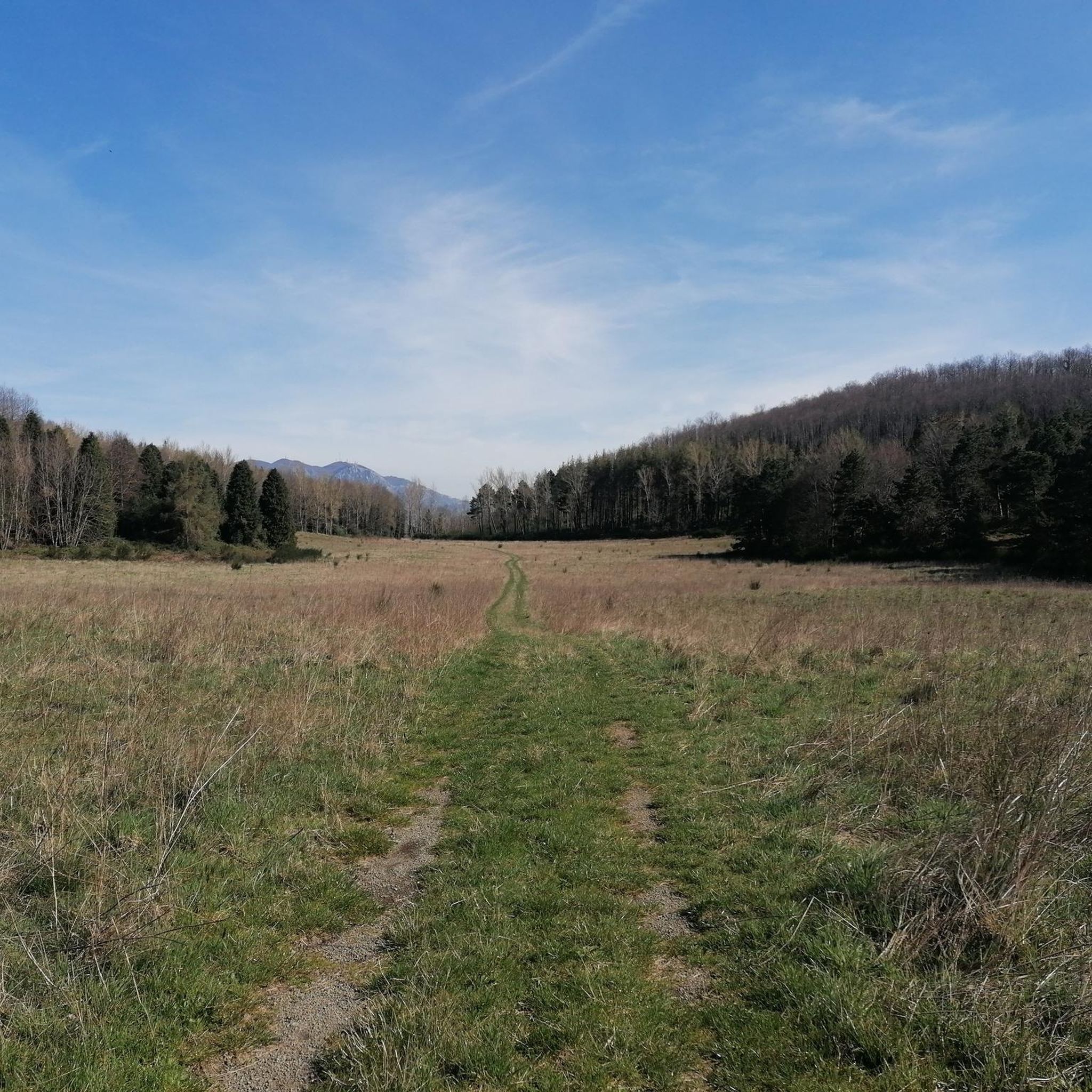
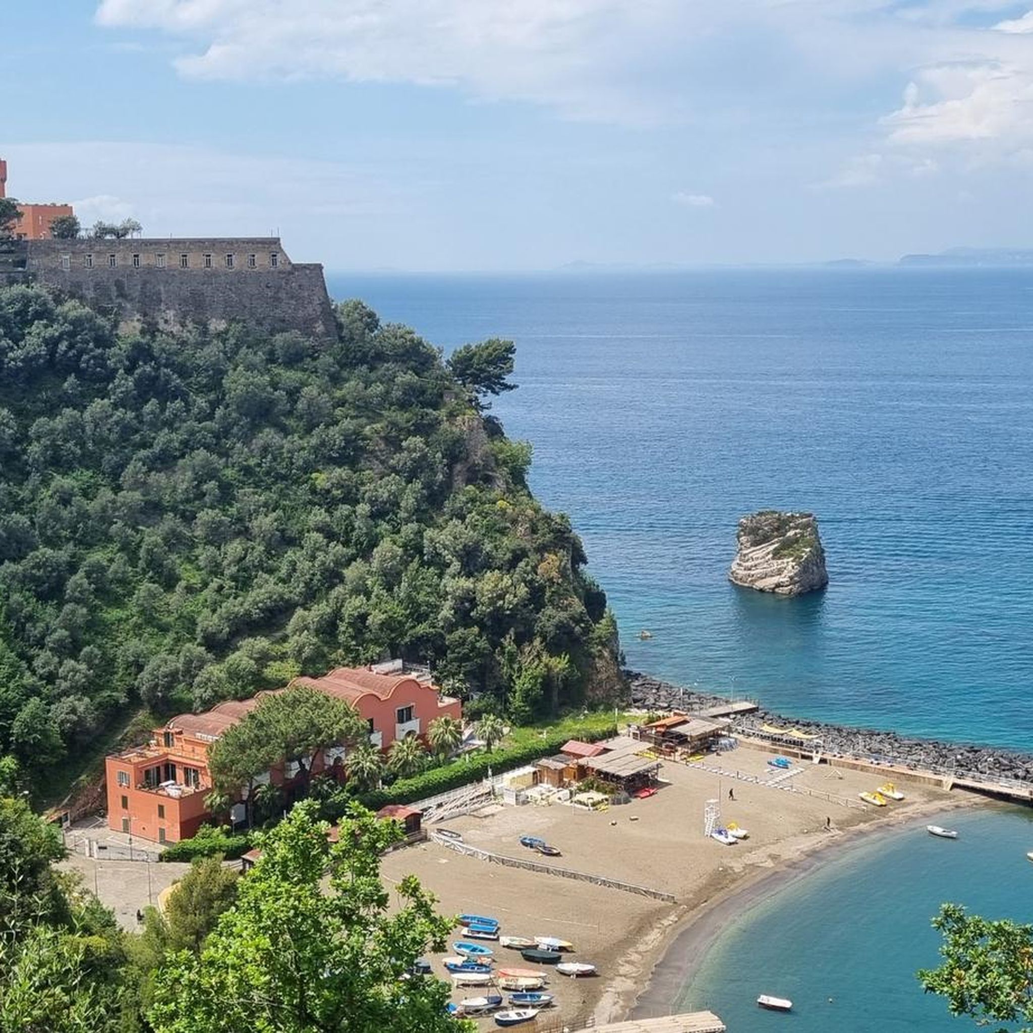
the park/green area is located next to the castle. there is parking, with a picnic area
0
0
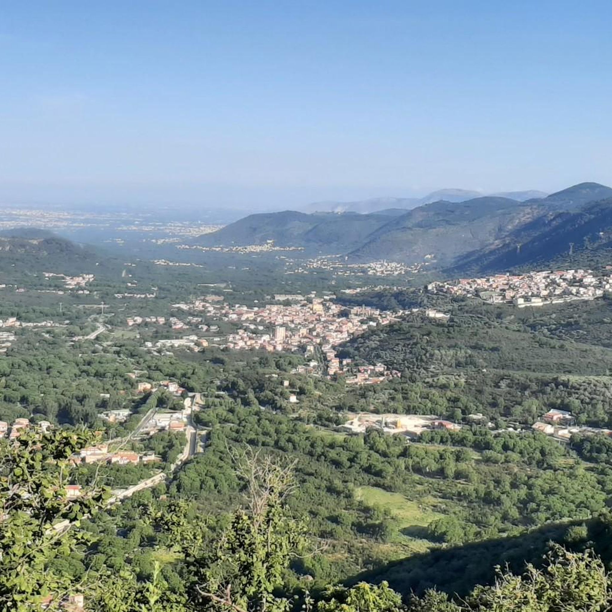
view from Monte Pizzone. You can get close using the same asphalt road that leads to the top of Monte Faito
0
0

A pedestal, seemingly oversized compared to the size of the actual cross, forms the base for this small sacred monument. The stone base is divided horizontally into several levels, the third of which tapers towards the top. Above it stands the cross, whose crossbeam—in contrast to the longitudinal beam—is provided with a series of holes, the bottom of which, however, is not visible to the observer.
0
0

the road isn't great but the summit is beautiful
1
0

currently probably permanently closed
2
0

The Castle of Monteforte was probably an ancient Roman castrum, on which a real castle was probably built by the Lombards in the 7th-8th century. But the history of Monteforte is very ancient: traces of its existence can be found already during the Second Punic War (fought between Rome and Carthage from 218 BC to 202 BC), when Annibale Barca passed through it on his way back from Capua towards Cannae, where he prepared the historic trap against the Romans. The first certain information we have about the village is contained in a document from 1102 preserved in the Montevergine Archives. In the Angevin period, it passed to the Princes of Montfort and Count Guido de Monfort lived there, who killed Prince Henry of England in 1271 in the cathedral of Viterbo. Having committed the crime, he was deprived of his possessions which passed to the Orsini family, whose lineage they remained in until 1806. The Castle was renovated and transformed into a summer residence by Charles of Anjou who lived there several times from 1271 to 1280. It was abandoned to itself from the 16th century; legend has it that who knows what treasures were buried in it, unfortunately this gave greedy hands the opportunity to complete its destruction.
11
0
Frequently Asked Questions
How many hiking trails are available around Lauro?
There are over 30 hiking routes around Lauro, offering a diverse range of experiences. You'll find options for various skill levels, including 7 easy, 22 moderate, and 5 difficult trails.
Are there any easy hiking trails suitable for beginners or families in Lauro?
Yes, Lauro offers several easy trails perfect for beginners or families. These paths typically feature gentler terrain through forested hills and valleys. While specific easy routes aren't detailed here, komoot lists 7 easy trails in the area.
Can I find circular hiking routes in the Lauro area?
Yes, many trails around Lauro are designed as loops, allowing you to start and end at the same point. An example is the Trailhead – Castagneto loop from Monteforte Irpino, which offers varied terrain, or the Church of San Martino (Ruins) – Croce di Sarno Viewpoint loop from Sarno, which combines historical ruins with panoramic views.
Are there any challenging hikes for experienced trekkers near Lauro?
For experienced hikers seeking a challenge, Lauro has 5 difficult routes. These trails often involve significant elevation gain and more rugged terrain, leading to rewarding viewpoints or mountain refuges. The region's landscape of rolling hills and forested valleys provides ample opportunity for strenuous ascents.
What kind of natural attractions or viewpoints can I expect to see on hikes around Lauro?
Hiking around Lauro offers opportunities to discover various natural attractions and scenic viewpoints. You might encounter features like the Acquaserta Waterfall, or enjoy panoramic vistas such as the View of the Agro Sarnese. Other notable points include the Acquafidia Spring and the Monte Faito Antennas, which often mark high points with expansive views.
Are there any historical or cultural landmarks along the trails in Lauro?
Yes, some routes in the Lauro area pass by historical or cultural landmarks. For instance, the Church of San Martino (Ruins) – Croce di Sarno Viewpoint loop from Sarno takes you through historical ruins. You might also come across the Statue of Saint Francis, a notable man-made monument in the region.
What do other hikers say about the trails in Lauro?
The hiking trails in Lauro are highly regarded by the komoot community, holding an average rating of 4.4 stars from over 90 reviews. Hikers often praise the region's diverse landscape, which includes forested hills, scenic viewpoints, and well-maintained paths that explore local valleys and natural features.
Are there any routes that feature waterfalls in the Lauro area?
Yes, the region is known for its water features, including the Acquaserta Waterfall. You can explore this natural highlight on routes such as the Acquaserta Waterfall – Rifugio Valle Fredda loop from Acqua del Litto, which offers a moderate hike through the area.
What is the typical terrain like for hiking around Lauro?
The terrain around Lauro is characterized by rolling hills, forested valleys, and moderate ascents and descents. Trails often lead through natural areas, providing a mix of shaded woodland paths and open sections with views. You can expect varied surfaces, from well-trodden earth paths to potentially rockier sections on steeper climbs.
Are there any trails that lead to mountain refuges in Lauro?
Yes, some trails in the Lauro area lead to mountain refuges, offering a destination for a break or an overnight stay. A notable example is the Toppola Grande for the VALLE FREDDA refuge, a moderate route featuring significant elevation gain to reach the refuge.
Is public transport available to access hiking trailheads in Lauro?
While specific public transport options to individual trailheads can vary, Lauro is a town in Italy, and local bus services might connect to nearby villages or points of interest. For detailed information on reaching specific starting points, it's advisable to check local transport schedules or consider driving to trailheads where parking is often available.
What is the best time of year to go hiking in Lauro?
The best time to hike in Lauro generally depends on your preference for weather. Spring and autumn offer pleasant temperatures, lush greenery, and vibrant foliage, making them ideal for comfortable hiking. Summers can be warm, so early morning or late afternoon hikes are recommended. Winters are milder but can bring cooler temperatures and occasional rain, though many trails remain accessible.
Are there any trails with significant elevation gain for a good workout?
Absolutely. The region's rolling hills and mountainous features provide ample opportunities for hikes with significant elevation gain. For example, the Toppola Grande for the VALLE FREDDA refuge involves over 675 meters of ascent, offering a substantial workout and rewarding views.
Most popular attractions around Lauro

Get inspired with the komoot mobile app


Explore more
Browse the best Hikes in other regions.
