The best walks and hikes around Sirignano
4.3
(174)
551
hikers
78
hikes
Hiking around Sirignano offers a diverse landscape characterized by forested areas, valleys, and the presence of waterfalls. The region features varied terrain, from gentle paths to more challenging ascents, with elevations reaching over 700 meters on some trails. Many routes explore natural features like the Acquaserta Waterfall and the Tre Castagni Area, providing a mix of natural beauty and physical challenge. This area provides opportunities for both leisurely walks and more strenuous hikes.
Best hiking trails around Sirignano
- The most…
Last updated: July 3, 2026
3.5
(4)
9
hikers
11.3km
04:10
710m
710m
Moderate hike. Good fitness required. Easily-accessible paths. Suitable for all skill levels.
4.7
(3)
7
hikers
Moderate hike. Good fitness required. Easily-accessible paths. Suitable for all skill levels.

Sign up for free
10
hikers
7.24km
01:54
60m
60m
Easy hike. Great for any fitness level. Easily-accessible paths. Suitable for all skill levels.
5.0
(2)
6
hikers
Moderate hike. Good fitness required. Easily-accessible paths. Suitable for all skill levels.
9
hikers
4.10km
01:05
30m
30m
Easy hike. Great for any fitness level. Easily-accessible paths. Suitable for all skill levels.
Get access to more routes and recommendations from other explorers.
Sign up for free
Already have an account?
Our route recommendations are based on thousands of hikes, rides, and runs completed by other people on komoot.
Start today with a free account
Your next adventure awaits.
Login or Signup

Tips from the Community

San Giovanni park beautiful but abandoned
1
0

currently probably permanently closed
2
0

Reachable thanks to the CAI paths 215 and 242, this refuge (unattended) is located 1 hour's walk from Toppola Grande (1368 m)
1
1

Near the Fonte San Giovanni refuge there is a majestic beech tree.
5
0
The Tre Castagni area, in the municipality of Baiano (AV) offers a large parking lot for excursions in the Partenio regional park. https://it.wikipedia.org/wiki/Parco_regionale_del_Partenio
6
0

The most important source of the Clanio torrent, Bocca dell'acqua, was captured starting from the early 1960s to supply water to the Alto Calore aqueduct, but not for this reason, especially in late spring, after the rains, it is less spectacular. The reference is the CAI 231 path, which leads to the mouth of the water. Here you can both visit the cave where the source was captured and explore the descent of the water up to the Clanio stream and admire the spectacular waterfall both from above and below, descending, not without being careful, into the stream bed . In late spring, after the snow and the rains, the abundance of water, the abundant moss, the broken trees, make the place fantastic.
0
0

Frequently Asked Questions
How many hiking trails are available around Sirignano?
Sirignano offers a wide variety of hiking experiences, with over 80 routes available. These range from easy strolls to more challenging ascents, catering to different fitness levels.
Are there easy hiking trails suitable for beginners or casual walkers in Sirignano?
Yes, Sirignano has several easy hiking options. For instance, the Spirit loop from Baiano is a gentle 4.5-mile (7.2 km) trail that takes about 1 hour 54 minutes to complete, ideal for a relaxed walk. Another easy option is the Spirit loop from Sperone, which is shorter at 2.5 miles (4.1 km).
Where can I find more challenging hikes around Sirignano?
For those seeking a challenge, trails with significant elevation gain are available. The Acquaserta Waterfall – Rifugio Valle Fredda loop from Quadrelle is a moderate 7.0-mile (11.3 km) route with over 700 meters of ascent. Another demanding option is the Tre Castagni Area - parking lot – Bocca dell'Acqua Waterfall loop from Località tre Castagni, which covers 8.7 miles (14 km) with similar elevation changes.
Are there family-friendly hiking options in Sirignano?
Many trails in Sirignano are suitable for families, especially the easier routes that traverse gentle terrain. The region's diverse landscape means you can find paths that are not too strenuous, allowing families to enjoy nature together. Look for routes with lower elevation gain and shorter distances.
Are the hiking trails in Sirignano dog-friendly?
Generally, dogs are welcome on most hiking trails in Sirignano, provided they are kept on a leash and owners clean up after them. It's always a good idea to check specific trail regulations or local signage, especially in protected natural areas, but the forested paths are usually suitable for walks with your canine companion.
What kind of natural attractions or landmarks can I see along the hiking trails?
Sirignano's trails often lead to beautiful natural features. You can explore the Campo Maggiore Plateau and Lake, or discover the ancient Beech Tree of Campo San Giovanni. Many routes also feature waterfalls, such as the Acquaserta Waterfall mentioned in some popular loops.
Which hikes offer the best viewpoints in Sirignano?
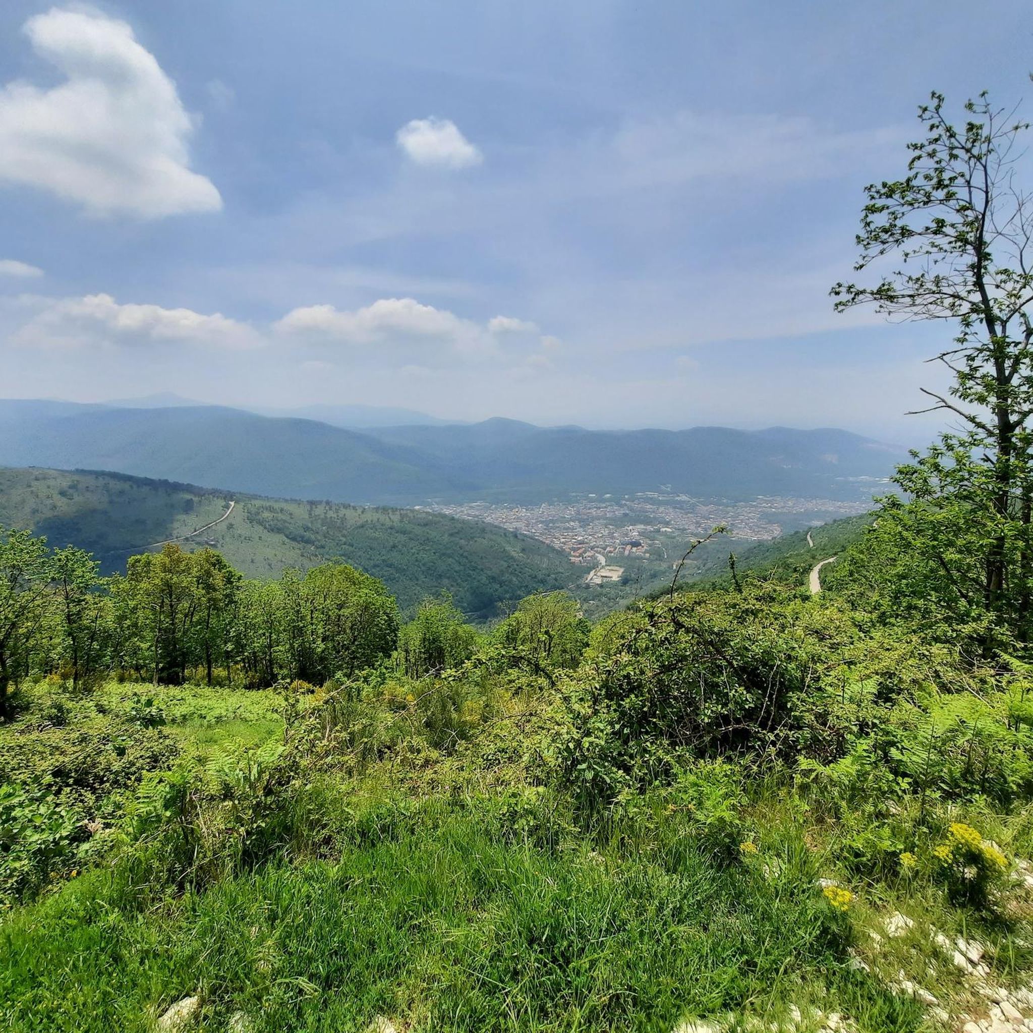
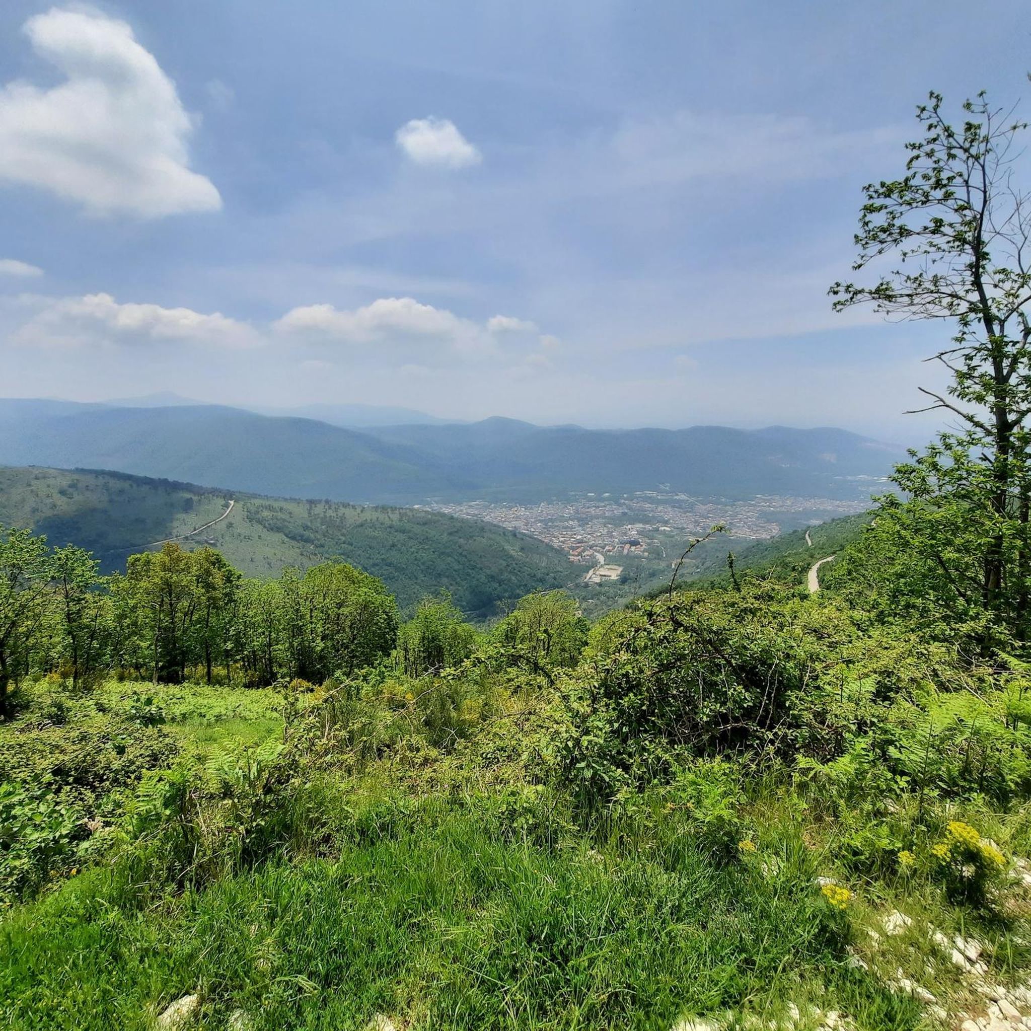
For panoramic views, consider trails that ascend to higher elevations. Highlights like the View of Monte Felino or the Monte Faito Antennas offer expansive vistas of the surrounding landscape. The Toppola Grande Summit (1360 m) also provides a rewarding perspective.
Are there circular hiking routes available in Sirignano?
Yes, many of the trails in Sirignano are designed as circular routes, allowing you to start and end at the same point without retracing your steps. Examples include the Tre Castagni Area - parking lot loop from Località tre Castagni and the various 'Spirit loop' trails.
Is parking available near the hiking trails in Sirignano?
Many trailheads, especially those starting from specific localities or natural areas like the Tre Castagni Area, offer designated parking facilities. It's advisable to check the starting point of your chosen route for specific parking information.
What is the best time of year to go hiking in Sirignano?
The spring and autumn months typically offer the most pleasant hiking conditions in Sirignano, with mild temperatures and vibrant natural scenery. Summer can be warm, especially at lower elevations, while winter hikes are possible but may require appropriate gear for higher, potentially snowy, sections.
Are there places to eat or drink near the hiking trails?
Some routes pass by facilities or mountain huts. For example, the Acquaserta Waterfall – Rifugio Valle Fredda loop includes a 'Rifugio' (mountain hut), which often provides refreshments. Additionally, the Acqua Fidia Fountain and Picnic Area offers a spot for a break.
What do other hikers enjoy the most about hiking in Sirignano?
The area is highly rated by the komoot community, with an average score of 4.3 stars from over 150 reviews. Hikers often praise the diverse terrain, from tranquil forested paths to challenging ascents, and the natural beauty of features like waterfalls and scenic viewpoints.
Most popular attractions around Sirignano

Get inspired with the komoot mobile app


Explore more
Browse the best Hikes in other regions.
