The best walks and hikes around Schöllkrippener Forst
4.7
(273)
939
hikers
44
hikes
Hiking around Schöllkrippener Forst offers diverse natural landscapes within the northern Bavarian Spessart. This entirely forested area is characterized by dense woodlands, varied topography, and notable hills such as the Spindelberg, the highest point at 1,706 feet (520 m), and the Reuschberg at 1,362 feet (415 m). The region features significant natural springs like the Kleinkahlquelle and the renatured Kafloosquelle, alongside geological points of interest such as a former sandstone quarry.
Best hiking trails in Schöllkrippener Forst
- The most popular…
Last updated: July 1, 2026
4.6
(27)
114
hikers
Easy hike. Great for any fitness level. Easily-accessible paths. Suitable for all skill levels.
4.9
(28)
95
hikers
10.1km
02:52
230m
230m
Moderate hike. Good fitness required. Easily-accessible paths. Suitable for all skill levels.

Sign up for free
4.6
(13)
40
hikers
Moderate hike. Good fitness required. Easily-accessible paths. Suitable for all skill levels.
4.8
(11)
37
hikers
Moderate hike. Good fitness required. Easily-accessible paths. Suitable for all skill levels.
4.3
(9)
29
hikers
Easy hike. Great for any fitness level. Easily-accessible paths. Suitable for all skill levels.
Get access to more routes and recommendations from other explorers.
Sign up for free
Already have an account?
Our route recommendations are based on thousands of hikes, rides, and runs completed by other people on komoot.
Start today with a free account
Your next adventure awaits.
Login or Signup
Tips from the Community

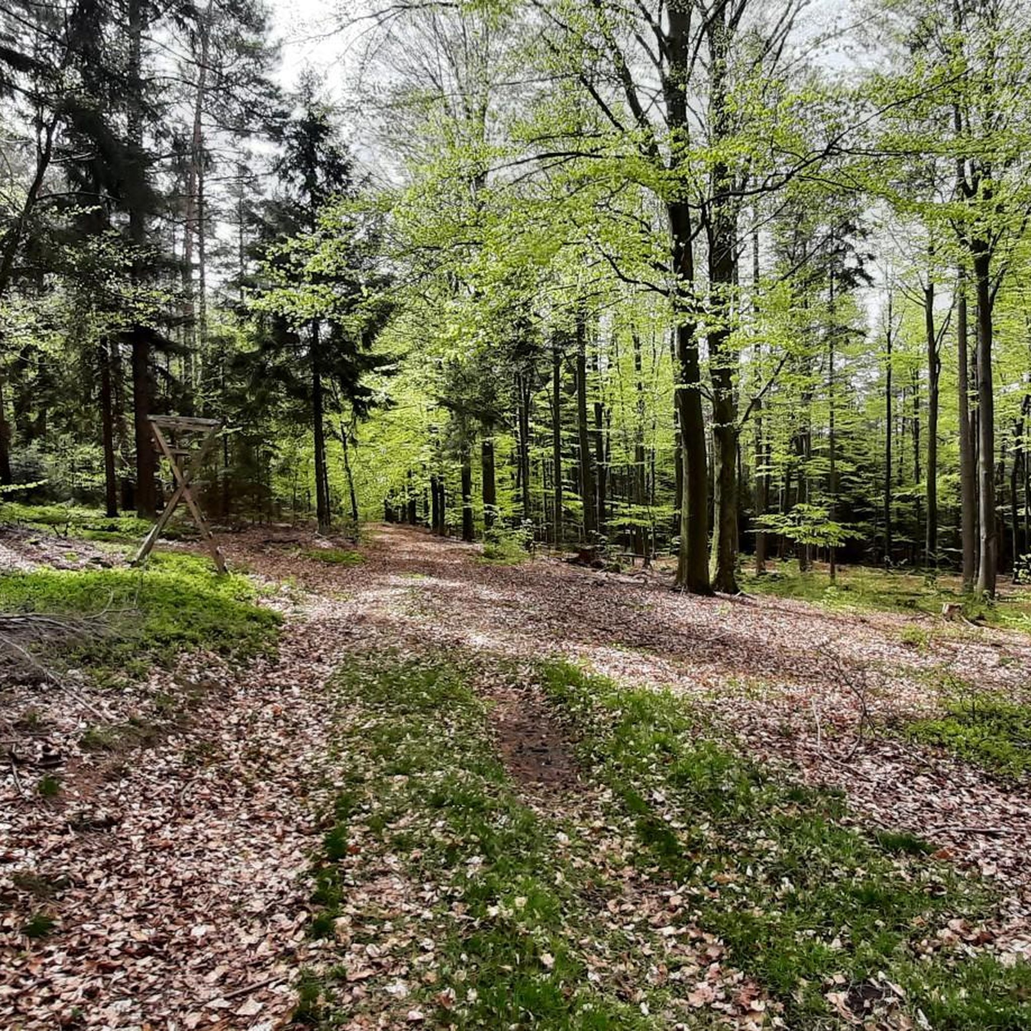
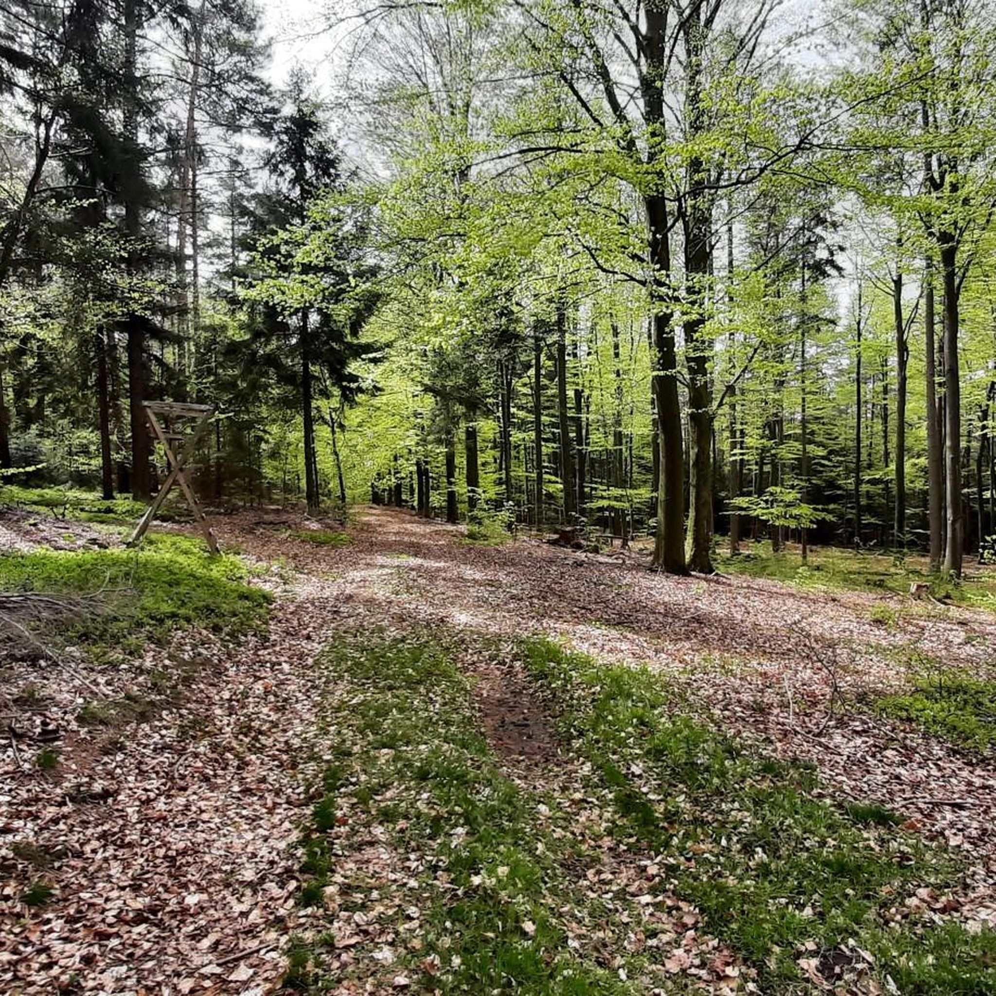
You can refresh yourself well here.
0
0

Wonderful area for hiking, very close to Waldhaus Engländer 🍺😃
1
0

On such an information board, you get useful tips, e.g. for a hike.
1
0
You can take a nice break there and listen to the woodpeckers hammering.
1
0
The plaque states that the oak tree was planted in 1911 by the Spessartverein Offenbach on the occasion of the 90th birthday of Prince Regent Luitpold of Bavaria.
2
0

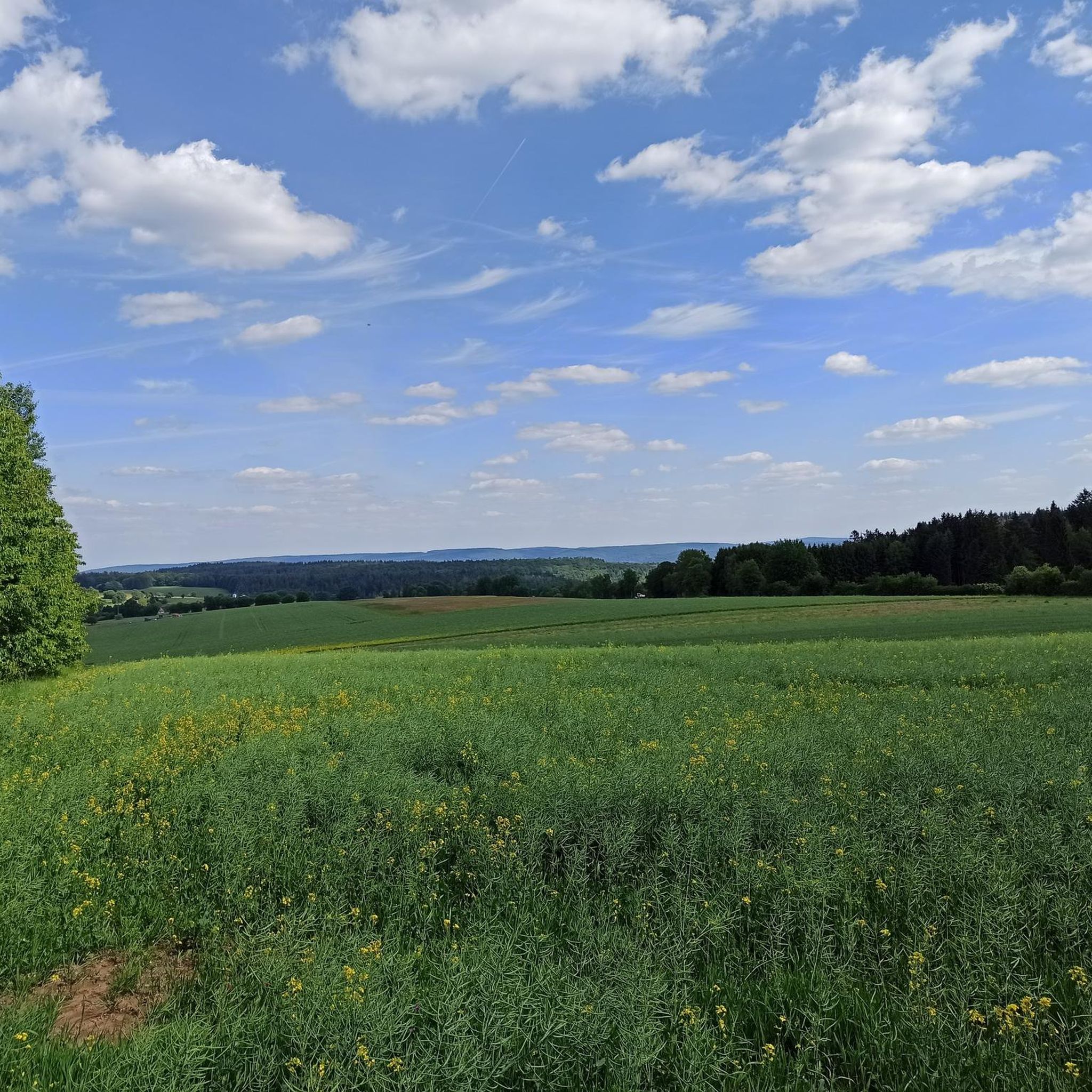
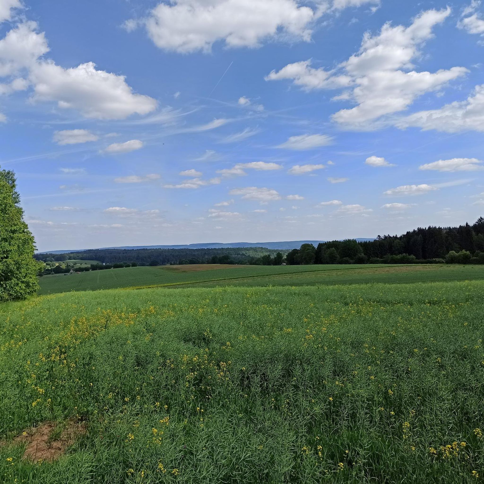
Here you can enjoy a relaxing moment of peace and quiet and the view... which you might even share with dog walkers.
9
0
A place of peace and panoramic views overlooking the tranquil Heinrichsthal
8
0
At the intersection you have a wide selection of paths.
0
0
Frequently Asked Questions
How many hiking trails are available in Schöllkrippener Forst?
Schöllkrippener Forst offers a wide selection of hiking trails, with over 40 routes available. This includes 20 easy trails, 22 moderate trails, and 2 more challenging options, catering to various fitness levels.
What is the terrain like for hiking in Schöllkrippener Forst?
The terrain in Schöllkrippener Forst is characterized by dense forests and varied topography. You'll encounter rolling hills, with the highest point being the Spindelberg at 520 meters above sea level. The Reuschberg, at 415 meters, features a unique 'small Felsenmeer' (sea of rocks) on its northern slope. Paths range from easily accessible to those with more significant elevation gains.
Are there easy hiking trails suitable for beginners or families in Schöllkrippener Forst?
Yes, Schöllkrippener Forst has 20 easy trails perfect for beginners or families. An example is the View of Jakobstal Meadow – Forest Inn "The Englishman" loop from Sailaufer Forst, which is a 4.3 km route with minimal elevation, typically completed in about 1 hour 10 minutes.
Are there any viewpoints or observation towers in Schöllkrippener Forst?
Yes, the region offers several spots for panoramic views. The Rodfeldturm, an observation tower, provides expansive vistas that stretch to the Taunus hills and Ronneburg Castle. Additionally, the Spindelberg and Reuschberg, the area's highest points, offer elevated perspectives of the surrounding forested landscape.
What natural features can I expect to see while hiking in Schöllkrippener Forst?
Hikers can discover several natural highlights. The Kleinkahlquelle is one of the larger springs in the Spessart region, and the renatured Kafloosquelle is located in the northern part of the forest. The Kahltal (Kahl Valley) is another significant natural feature, and the Reuschberg features a 'small Felsenmeer' (sea of rocks).
Are there any historical sites or landmarks to explore along the trails?
Yes, Schöllkrippener Forst has historical elements. On the summit of Reuschberg, you can find the remnants of Burgstall Altenburg, a former medieval hilltop castle. The ruins of the Epstein glassworks are located south of Bamberger Mühle, and Dr. Karl Kihn-Platz serves as a historical resting spot at the intersection of the ancient Eselsweg and Birkenhainer Straße routes.
Are there any circular walks in Schöllkrippener Forst?
Many of the trails in Schöllkrippener Forst are circular, offering convenient starting and ending points. For example, the Forest Inn "Zum Engländer" – Sequoia near Eichenberg loop from Sailaufer Forst is a moderate 12.2 km loop that takes approximately 3 hours 30 minutes to complete.
What do other hikers enjoy most about hiking in Schöllkrippener Forst?
The area is highly rated by the komoot community, with an average score of 4.7 stars from over 250 reviews. More than 950 hikers have explored Schöllkrippener Forst using komoot, often praising the diverse natural landscapes, dense forests, and varied topography that offer engaging experiences for all ability levels.
Are there any nearby attractions like caves or gorges that I can visit?
Yes, there are several interesting natural attractions nearby. You can explore caves such as the Horbach Marian Grotto or the Marian Grotto in the Bächlesgrund. For gorges, consider visiting the Aubachtal Valley or the Seebach Valley.
Are there any challenging hikes with significant elevation in Schöllkrippener Forst?
While most trails are easy to moderate, there are 2 difficult trails for those seeking more challenge. The region's highest point, the Spindelberg, reaches 520 meters, and some routes will include substantial climbs and descents through the varied topography.
Can I find trails that pass by water features?
Yes, Schöllkrippener Forst is home to several water features. You can find the Kleinkahlquelle, one of the larger springs in the Spessart region, and the renatured Kafloosquelle. The Kahltal (Kahl Valley) also offers pleasant paths, including a cycle path along the Kahl river, which extends from its source at the Bamberger Mühle.
Most popular routes around Schöllkrippener Forst
Most popular attractions around Schöllkrippener Forst

Get inspired with the komoot mobile app


Explore more
Browse the best Hikes in other regions.
