The best cycling routes around Bellosguardo
4.7
(34)
252
riders
35
rides
Touring cycling around Bellosguardo offers routes through a landscape characterized by significant elevation changes and mountainous terrain. The region features challenging climbs and descents, often traversing through rural areas and past small villages. Riders can expect varied surfaces and panoramic views across the surrounding countryside, with most routes categorized as difficult.
Best touring cycling routes around Bellosguardo
- The most popular touring cycling route is Roscigno Vecchia – Roccadaspide loop from Roscigno, a 64.9 miles (104.5 km) trail that takes 7 hours 55 minutes to complete. This demanding route features substantial climbs and descents, connecting historic villages.
- Another top favourite among local touring cyclists is Eastern Alburni Mountains – Sant'Angelo a Fasanella loop from Sant'Angelo a Fasanella, a difficult 40.9 miles (65.9 km) path. It offers extensive climbs through the Alburni Mountains, providing expansive views.
- Local touring cyclists also love the View of Ottati Village – Sant'Angelo a Fasanella loop from Sant'Angelo a Fasanella, a 27.9 miles (44.8 km) trail leading through hilly terrain with views of Ottati Village, often completed in about 3 hours 5 minutes.
- Touring cycling around Bellosguardo is defined by mountainous ascents, rural roads, and scenic viewpoints. The network offers options primarily for advanced riders, with a few moderate routes available.
- The routes in Bellosguardo are highly rated by the komoot community with an average score of 4.75 stars from over 26 reviews. More than 235 touring cyclists have used komoot to explore Bellosguardo's varied terrain.
Last updated: August 18, 2026
4.3
(3)
28
riders
105km
07:54
2,590m
2,590m
Hard bike ride. Very good fitness required. Mostly paved surfaces. Suitable for all skill levels.
17
riders
65.6km
04:53
1,560m
1,560m
Hard bike ride. Very good fitness required. Mostly paved surfaces. Suitable for all skill levels.

Sign up for free
4.0
(4)
15
riders
56.5km
03:59
1,120m
1,120m
Hard bike ride. Very good fitness required. Mostly paved surfaces. Suitable for all skill levels.
11
riders
48.7km
03:29
980m
970m
Hard bike ride. Very good fitness required. Mostly paved surfaces. Suitable for all skill levels.
8
riders
35.9km
03:19
1,150m
1,150m
Hard bike ride. Very good fitness required. Mostly paved surfaces. Suitable for all skill levels.
Get access to more routes and recommendations from other explorers.
Sign up for free
Already have an account?
Our route recommendations are based on thousands of hikes, rides, and runs completed by other people on komoot.
Start today with a free account
Your next adventure awaits.
Login or Signup
Popular around Bellosguardo
Tips from the Community

O m mit p um Il z nlimi oh top Pol m Öl L mit k. Im Ol l
0
0

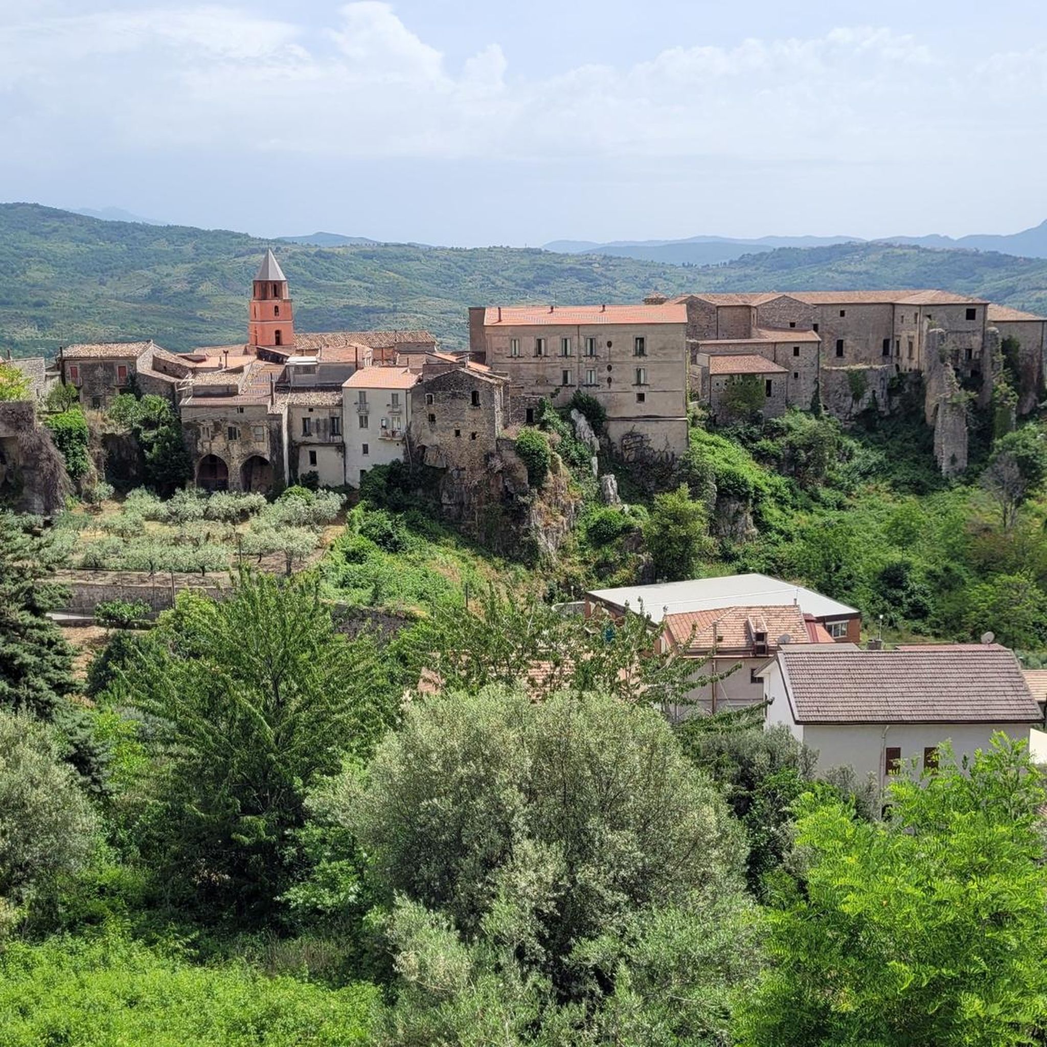
Old Franciscan convent of Santa Maria delle Grazie
0
0
Spectacular passage through the mountains
0
0
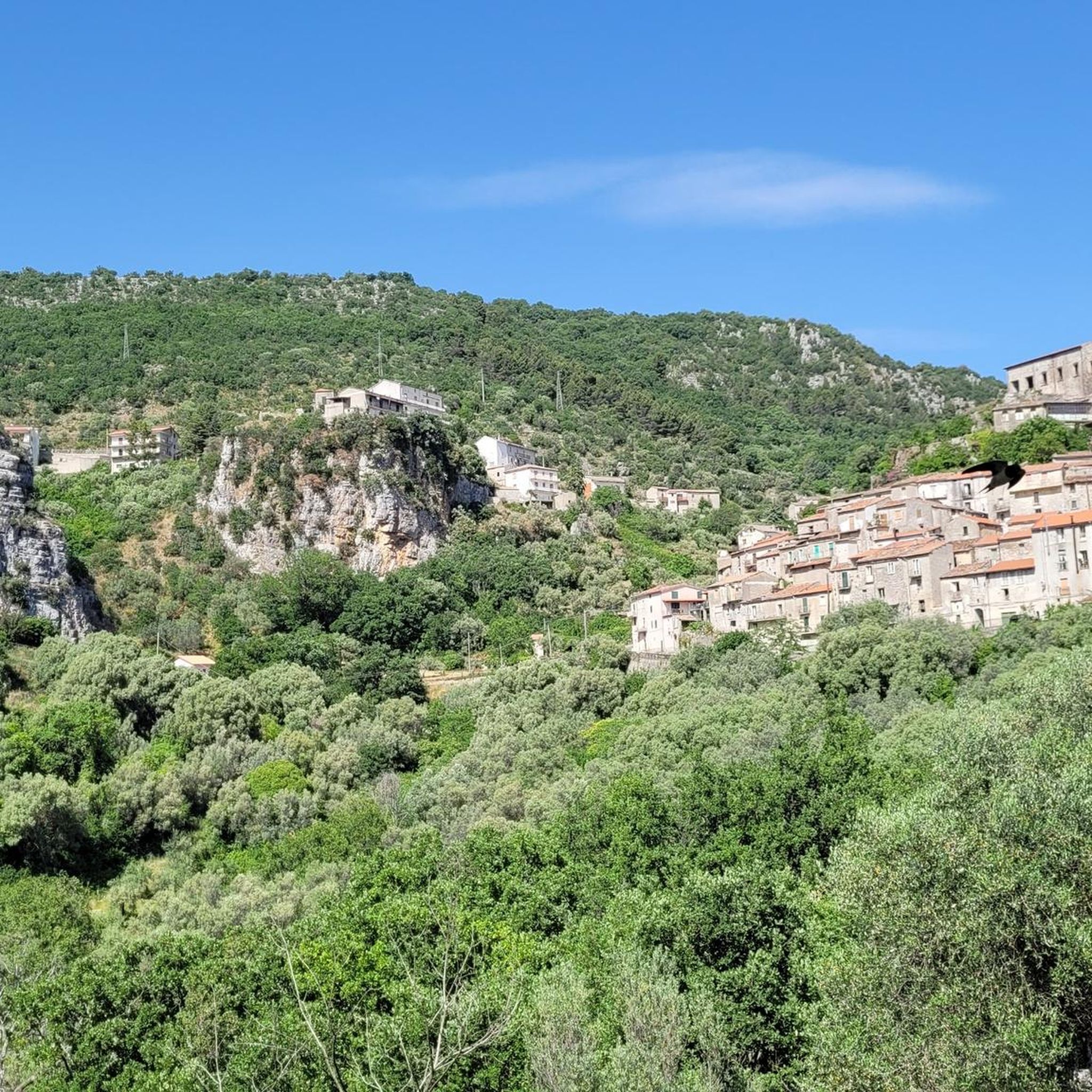
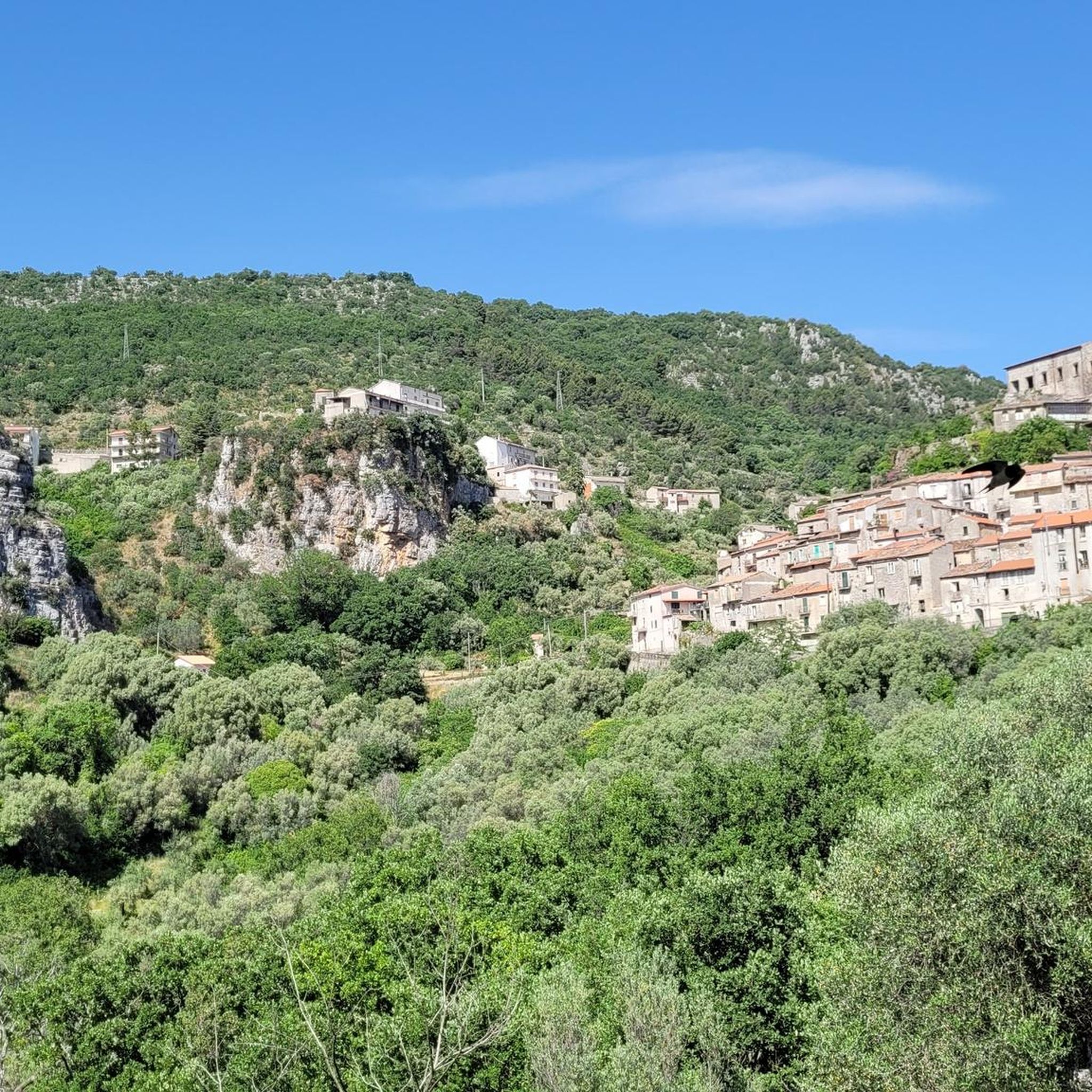
Characteristic mountain village, nice to wander through the alleys of the old part
0
0
Suggestive structure in the old part
0
0
Beautiful caves, don't hesitate to visit, nice
0
0

Starting point for climbing Monte Puglie. Parking for 2-3 cars is available. Monte Puglie (sometimes called Cocuzzo delle Puglie) is a peak approximately 1,465-1,475 meters high located in Campania, within the Cilento, Vallo di Diano and Alburni National Park. Known for its wild nature and expansive views, it can be reached via challenging hiking trails, often starting from Passo della Sentinella (San Rufo) or San Paolo di Teggiano, passing through places such as Sella del Corticato and the Bosco Vetusto del Cozzo del Rosieddo. Here are the main details about Monte Puglie: Location and Characteristics: It is located in the province of Salerno. The relief features elongated ridges and, in some areas, beech forests. Hiking: The trails are generally considered difficult or for experts, with steep and sometimes exposed sections. A common route is the ring that touches the Cozzo del Rosieddo (1427 m) and Monte Puglie.
2
0

Petina is perhaps one of the most mountainous villages in Campania. It sits directly on the slopes of the Alburni Mountains, completely surrounded by centuries-old chestnut groves. The village is very small and offers a grocery store, almost always open and well-stocked, a restaurant renowned for its local dishes, and a bar with tables in a beautiful courtyard.
1
0
Frequently Asked Questions
What is the general difficulty level of touring cycling routes around Bellosguardo?
Touring cycling around Bellosguardo is characterized by significant elevation changes and mountainous terrain. Most routes are categorized as difficult, with only one moderate option and no easy routes among the 36 available. Riders should expect challenging climbs and descents.
Are there any family-friendly or accessible touring cycling routes in Bellosguardo?
Given the region's mountainous terrain and significant elevation changes, most touring cycling routes around Bellosguardo are challenging. There are no easy routes, and only one is classified as moderate. This makes the area generally more suitable for experienced cyclists rather than families with young children or those seeking accessible trails.
What is the best time of year to go touring cycling in Bellosguardo?
The mountainous terrain of Bellosguardo suggests that spring and autumn are generally the best times for touring cycling. During these seasons, temperatures are milder, and the natural scenery is vibrant, making the challenging climbs more enjoyable. Summers can be quite hot, and winters may bring colder temperatures and potentially less predictable weather in the mountains.
What kind of views and scenic stops can I expect on touring cycling routes in Bellosguardo?
Touring cycling routes in Bellosguardo offer panoramic views across the surrounding countryside, often traversing through rural areas and past small villages. For example, the View of Ottati Village – Sant'Angelo a Fasanella loop from Sant'Angelo a Fasanella provides scenic vistas of Ottati Village. You'll also encounter natural attractions like the Grotte di Castelcivita, which can be explored near routes such as the Roccadaspide – Grotte di Castelcivita loop from Aquara.
Are there any circular touring cycling routes available?
Yes, many touring cycling routes in Bellosguardo are designed as loops. Examples include the popular Roscigno Vecchia – Roccadaspide loop from Roscigno, which connects historic villages, and the Eastern Alburni Mountains – Sant'Angelo a Fasanella loop from Sant'Angelo a Fasanella, offering extensive climbs and expansive views.
What are some notable natural attractions or landmarks to explore near the cycling routes?
Beyond the cycling itself, Bellosguardo is home to several interesting natural and historical sites. You can explore various caves, such as The Cave of San Michele – UNESCO World Heritage Site and Grotte di Castelcivita. The region also features impressive mountain peaks like Monte Puglie and Monte Vesole Summit, offering additional opportunities for exploration.
What do other touring cyclists say about the routes in Bellosguardo?
The touring cycling routes in Bellosguardo are highly regarded by the komoot community, holding an impressive average rating of 4.75 stars from over 26 reviews. Cyclists often praise the challenging mountainous ascents, the rural roads, and the scenic viewpoints that define the region's cycling experience.
What kind of terrain and road surfaces can I expect on these routes?
Cyclists in Bellosguardo can expect varied surfaces, often on rural roads that wind through mountainous terrain. The routes are characterized by significant elevation changes, including challenging climbs and descents, as they traverse past small villages and offer panoramic views of the countryside.
Are there any particularly long or challenging touring cycling routes for advanced riders?
Absolutely. For advanced riders seeking a significant challenge, the Roscigno Vecchia – Roccadaspide loop from Roscigno is a demanding 64.9-mile (104.5 km) trail with over 2,500 meters of elevation gain. Another option is the Roccadaspide – Landscape Mural loop from Aquara, which covers 78 km with nearly 2,000 meters of ascent.
What should I wear for touring cycling in Bellosguardo's mountainous environment?
Given the significant elevation changes and mountainous terrain, it's advisable to wear layers that can be adjusted for varying temperatures. Even on warm days, descents can be cooler, and higher elevations may be windier. Essential gear includes a helmet, appropriate cycling attire, gloves, and sunglasses. Always check the weather forecast before heading out.
Are there opportunities to stop for refreshments like cafes or pubs along the routes?
Many routes pass through or near small villages, which often provide opportunities for refreshments. While specific cafes or pubs aren't detailed for every route, the presence of settlements like Sant'Angelo a Fasanella and Ottati Village suggests that local establishments are likely available for a break and a drink or snack.
Most popular attractions around Bellosguardo

Get inspired with the komoot mobile app


Explore more
Browse the best Cycling routes in other regions.
