The best walks and hikes around Monte Di Malo
4.6
(266)
996
hikers
61
hikes
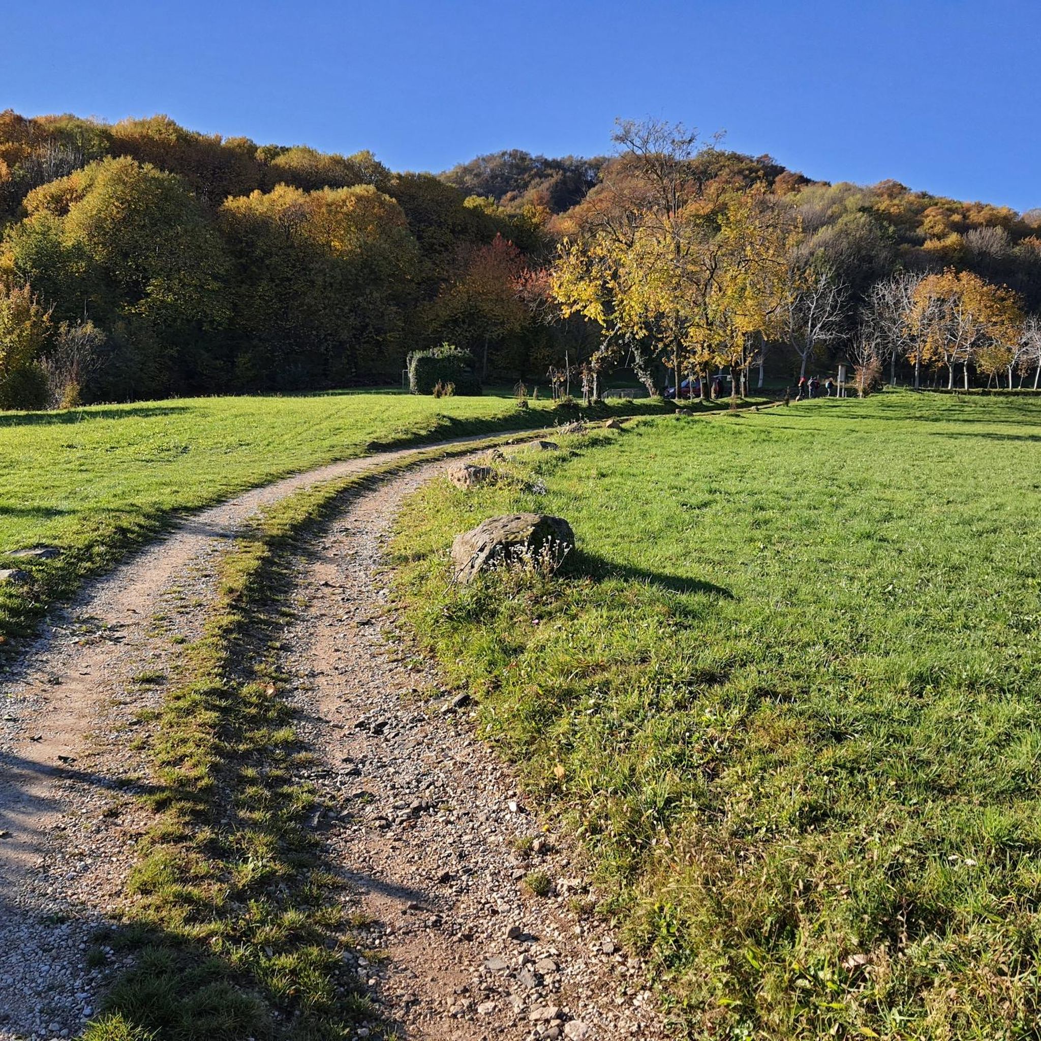
Hiking around Monte Di Malo offers diverse terrain, from lush forests and rolling hills to scenic meadows, providing panoramic views of the surrounding Veneto landscape. The region is characterized by unique geological features, including evidence of past volcanic activity and fossil-rich strata. Trails often traverse historic districts, ancient chestnut groves, and natural cavities, blending natural beauty with cultural insights.
Best hiking trails around Monte Di Malo
- The most popular hiking route is Buso della Rana Cave Loop from Monte di Malo, a 5.5 miles (8.8 km) trail that takes 2 hours 42 minutes to complete, winding through forests and past suggestive natural cave systems.
- Another top favourite among local hikers is Gerolamo Ancient Chestnut Tree – Cima Locality loop from Monte di Malo, a moderate 6.9 miles (11.0 km) path. This route offers an immersive experience through centuries-old chestnut groves.
- Local hikers also love the View from Monte Verlaldo – Croce di Monte Verlaldo loop from Muzzolon, a 5.5 miles (8.8 km) trail leading through varied terrain, often completed in about 2 hours 37 minutes, providing expansive panoramic views.
- Hiking around Monte Di Malo is defined by lush forests, rolling hills, and unique geological formations. The extensive network of trails offers options for easy strolls, moderate treks, and more challenging routes.
- The routes in Monte Di Malo are highly rated by the komoot community with an average score of 4.6 stars from over 200 reviews. More than 800 hikers have used komoot to explore Monte Di Malo's varied terrain.
Last updated: October 12, 2026
4.5
(26)
71
hikers
8.81km
02:42
310m
320m
Countryside loop to Italy's longest cave system, passing historic hamlets and a 28km underground maze.
4.6
(29)
106
hikers
11.2km
03:26
400m
400m
Moderate hike. Good fitness required. Easily-accessible paths. Suitable for all skill levels.

4.6
(18)
65
hikers
8.81km
02:37
280m
280m
Moderate hike. Good fitness required. Easily-accessible paths. Suitable for all skill levels.
4.7
(10)
42
hikers
7.59km
02:19
260m
260m
Moderate hike. Good fitness required. Easily-accessible paths. Suitable for all skill levels.
4.8
(12)
41
hikers
Easy hike. Great for any fitness level. Easily-accessible paths. Suitable for all skill levels.
Get access to more routes and recommendations from other explorers.
Already have an account?
Our route recommendations are based on thousands of hikes, rides, and runs completed by other people on komoot.
Start today with a free account
Your next adventure awaits.
Tips from the Community

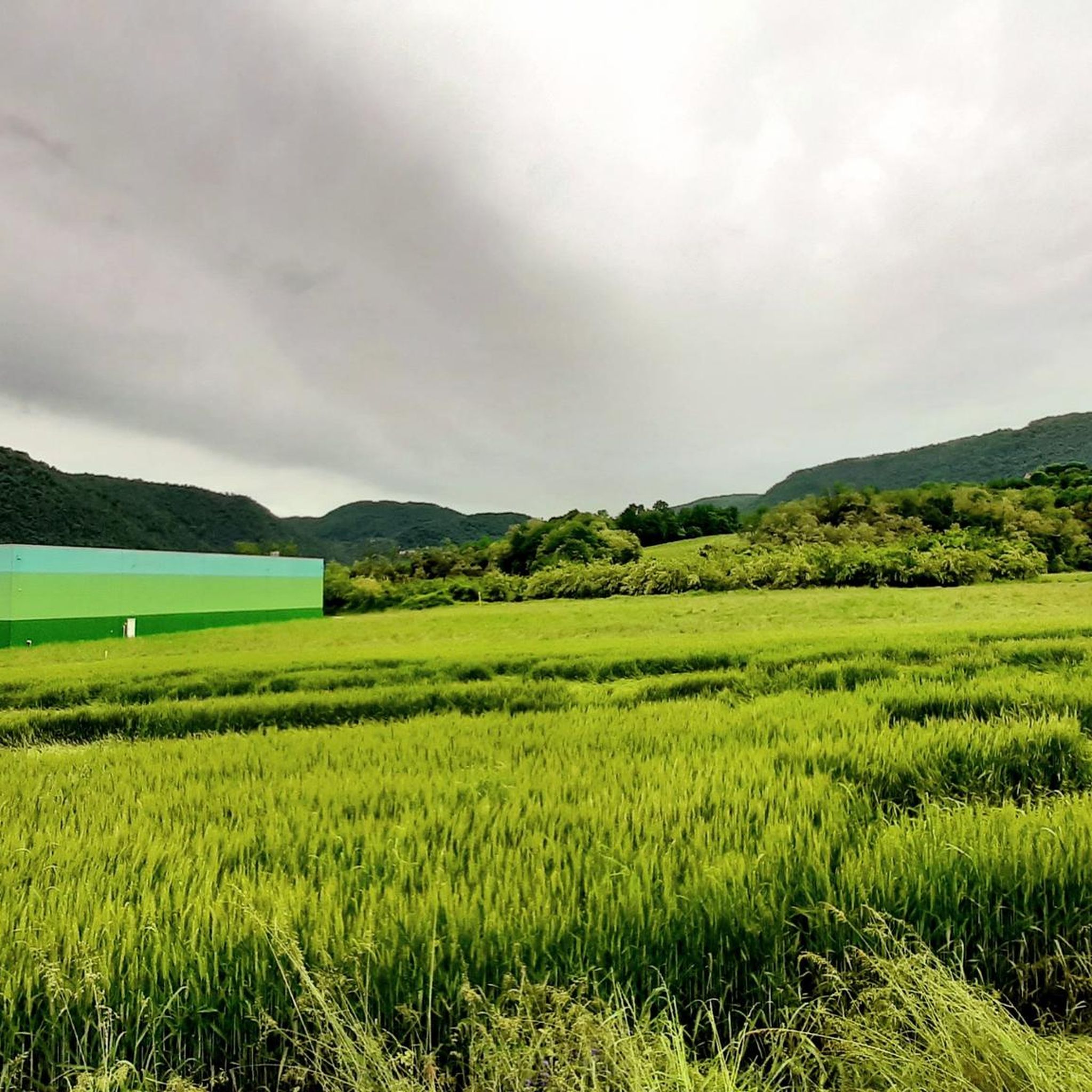
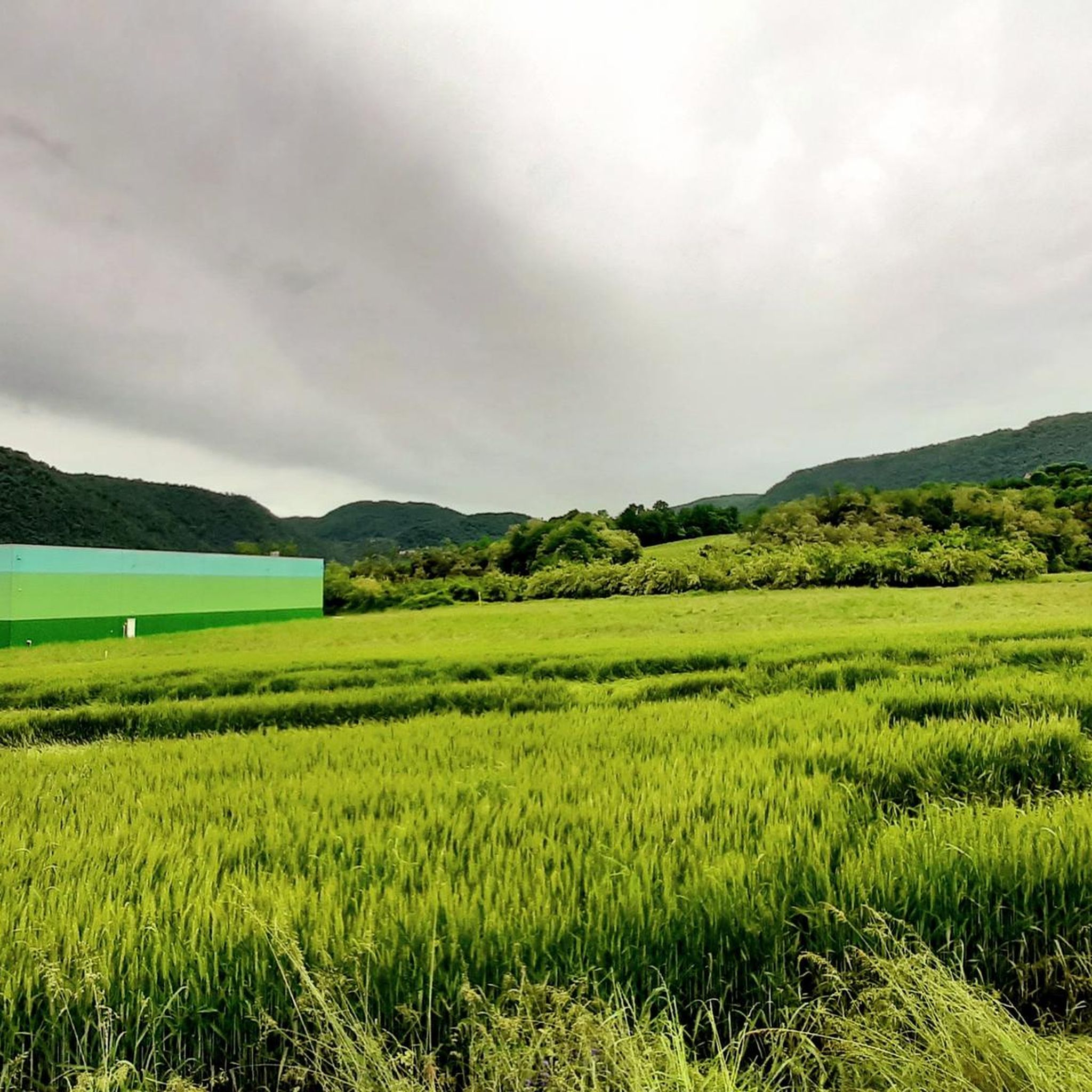
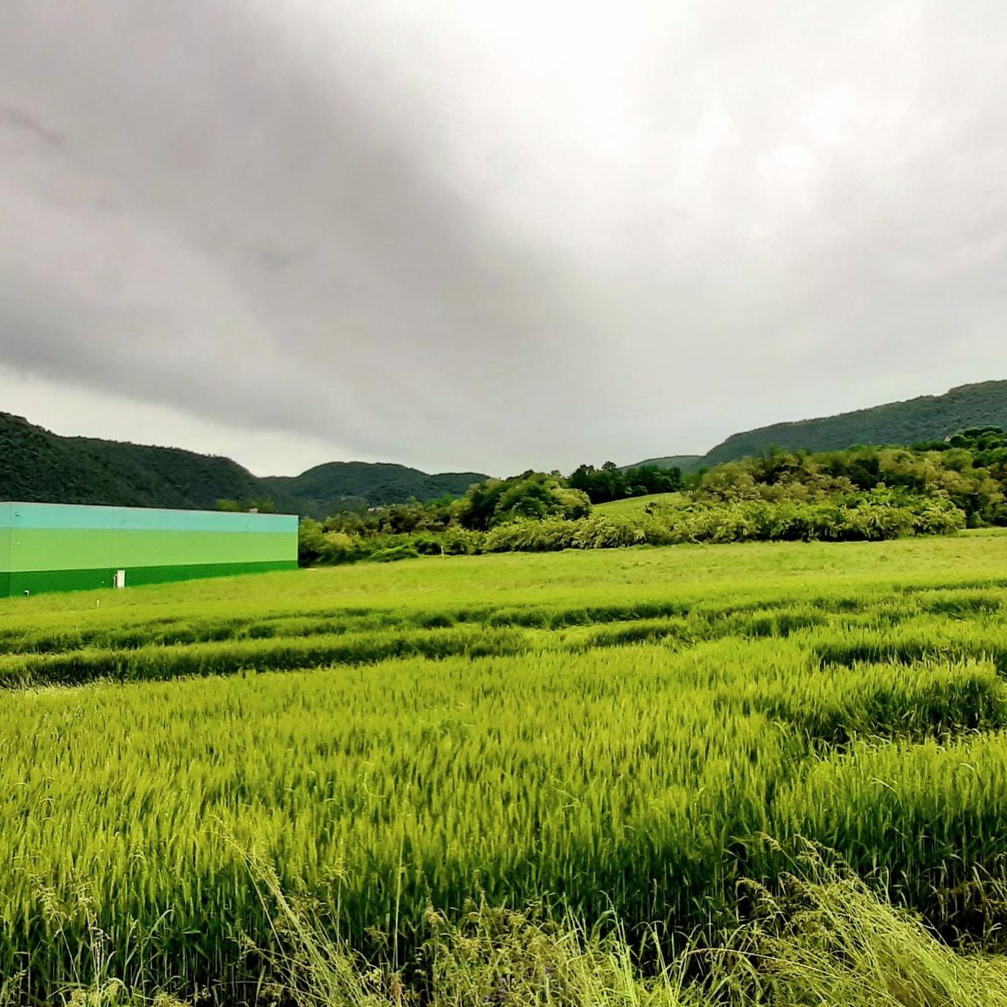
View of the plain. Places to visit
0
0

The Buso della Rana is the largest cave in the Veneto region and one of the most extensive in Italy, with a network of caves stretching almost 30 km in total (40 km including the Pissatèla complex above, to which it is connected). Located beneath the Faedo-Casaròn Plateau, it is an intricate karst system that collects and channels the plateau's waters into the Rio Rana, which flows at the entrance. It was formed when rainwater seeps into the permeable limestone surface layer and, encountering the underlying impermeable basalt (volcanic rock), flows laterally, eroding the rock. Over millions of years, this has created a complex labyrinth of horizontal tunnels, chambers, chimneys, siphons, and small lakes traversed by underground streams. Because it drains the plateau's waters, the cave is subject to flash floods, making exploration treacherous. Inside, the temperature remains constant between 10 and 12°C year-round. It is freely accessible through the monumental entrance and by proceeding along the Main Branch for about fifty meters, until reaching the first flooded corridor or Siphon, a horizontal constriction that requires crawling. From there, it is the preserve of speleologists or exciting and adventurous guided tours organized by associations like Biosphera (see link). The internal branches are not marked, and one must know the way. The name of the cave has nothing to do with the amphibian, but is an Italianized term from the Cimbrian word "roan," meaning "rocky wall," referring to the cliff at the entrance. https://www.busodellarana.it https://esplora.biosphaera.it/luoghi/buso-della-rana/
0
0

Panoramic excursion near Cornedo Vicentino
0
0
Along this path you will find centuries-old and spectacular chestnut trees ('maronàri' in the Venetian dialect), planted between the 16th and 18th centuries, with twisted trunks and a regal appearance: the three oldest specimens are Gerolamo, 350 years old, Mattio, 450 years old, and Iseppo, 400 years old! The cultivation of chestnut trees has very ancient traditions in this area, where the volcanic soil offered the ideal habitat for the growth of these trees: along the path you can in fact see the sasso moro, or the black basaltic stone typical of areas of lava origin. The wood was used for many purposes, while the chestnuts were used to make flour, an important source of sustenance for the locals. https://www.visitmontedimalo.it/it/territorio/natura-e-ambiente/antichi-maronari
2
0
A beautiful and ancient manor house in Contrà Mondini di Sopra, which maintains its original appearance: the two stone heads that decorate the facade are very particular, and which seem to represent a king and a queen... perhaps a whim of the ancient owners, who had their portraits painted (?).
2
0

Faedo full of paths of various types
2
1
Monte Sojo (in the Vicenza dialect) or Soglio (in Italian) is a large rocky spur 700m above sea level. The summit offers a wide panorama of the Alto Vicentino, the Pedemontana, the entrance to the Val Leogra and the Piccole Dolomiti that surround it: Pasubio, Novegno and Summano. Precisely because of its dominant position and the view it offers, during the First World War it was integrated into the defensive line of Ortogonale 1: after the offensive of 1916, when the danger of an Austro-Hungarian advance towards the plain became concrete, it became a stronghold with numerous loopholes, observation posts and positions for light weapons dug into the rock.
2
0
Frequently Asked Questions
How many hiking trails are available in Monte Di Malo?
Monte Di Malo offers a diverse network of nearly 60 hiking trails. These routes cater to various preferences, with a good mix of easy and moderate options, ensuring there's something for every hiker.
Are there easy hikes suitable for beginners or families in Monte Di Malo?
Yes, Monte Di Malo has over 20 easy hiking routes perfect for beginners or families. One example is the Faedo Village Center – Croce del Sojo (Monte Soglio) loop from Priabona, which is an easy 6.3 km trail.
What kind of natural features can I expect to see while hiking in Monte Di Malo?
Hikers in Monte Di Malo can expect to encounter a rich variety of natural features. The region is known for its lush forests, rolling hills, and scenic meadows, offering panoramic views. You'll also find unique geological aspects, including evidence of past volcanic activity and fossil-rich strata, particularly around Priabona. A significant natural highlight is the 'Buso della Rana' (Frog's Hole), an ancient cave system.
Are there any circular loop hikes in Monte Di Malo?
Yes, many trails in Monte Di Malo are circular loops, allowing you to start and end at the same point. A popular option is the Buso della Rana Cave Loop from Monte di Malo, which is an 8.8 km route winding through forests and past natural cave systems.
What are some notable landmarks or attractions along the hiking trails?
Beyond the natural beauty, trails often pass through ancient hamlets like Santa Lucia, Cherle, and Gentilata, offering cultural insights. You might also encounter small rural churches and capitals. For specific points of interest, consider visiting Croce del Sojo (Monte Soglio) or exploring the unique geological strata near Priabona, which is rich in fossils.
Can I bring my dog on the hiking trails in Monte Di Malo?
Generally, dogs are welcome on most hiking trails in Monte Di Malo. However, it's always recommended to keep them on a leash, especially in areas with wildlife or near livestock, and to check for any specific local regulations or signage on individual routes.
What is the best time of year to hike in Monte Di Malo?
Monte Di Malo offers pleasant hiking conditions for much of the year. Spring and autumn are particularly beautiful, with mild temperatures and vibrant foliage. Summer is also suitable, though it can be warmer, while winter hiking is possible, but some trails might be muddy or require appropriate gear depending on conditions.
Are there trails that pass through ancient chestnut groves?
Yes, Monte Di Malo is home to centuries-old chestnut groves, and some trails offer an immersive experience through them. The Gerolamo Ancient Chestnut Tree – Cima Locality loop from Monte di Malo is a notable 11 km route that takes you through these historic groves.
Where can I find good viewpoints along the trails in Monte Di Malo?
Many trails in Monte Di Malo offer breathtaking panoramic views of the surrounding hills and the rural Veneto landscape. The View from Monte Verlaldo – Croce di Monte Verlaldo loop from Muzzolon is specifically known for providing expansive panoramic vistas across varied terrain.
What do other hikers say about the trails in Monte Di Malo?
The hiking trails in Monte Di Malo are highly regarded by the komoot community, with an average rating of 4.6 stars from over 200 reviews. Hikers often praise the diverse terrain, the blend of natural beauty with historical elements, and the well-maintained paths that offer options for all skill levels.
Are there options for longer or shorter hikes in Monte Di Malo?
Yes, the extensive network of trails in Monte Di Malo provides options for various distances and durations. You can find shorter walks, such as the 6.3 km Faedo Village Center – Croce del Sojo (Monte Soglio) loop from Priabona, or longer routes like the 11 km Gerolamo Ancient Chestnut Tree – Cima Locality loop from Monte di Malo, allowing you to choose based on your preference and available time.
Are there any challenging trails for experienced hikers in Monte Di Malo?
While Monte Di Malo primarily features easy to moderate trails, some routes offer more significant elevation gains and longer distances for those seeking a challenge. The region's varied terrain ensures that even moderate trails can provide a good workout and a rewarding experience for experienced hikers.
Most popular routes around Monte Di Malo
Most popular attractions around Monte Di Malo

Get inspired with the komoot mobile app


Explore more
Browse the best Hikes in other regions.
