The best road cycling routes around Arsiero
4.5
(142)
5,440
riders
78
rides
Road cycling around Arsiero, situated in the Italian Prealps, features a diverse landscape of challenging mountain passes and scenic routes through valleys. The region is characterized by significant elevation changes, including climbs to alpine environments and descents into river valleys like the Astico. Cyclists encounter varied terrain, from paved roads with pleasant inclines to routes that traverse historical areas.
Best road cycling routes around Arsiero
- The most popular road cycling route is Passo della Borcola and Forcella Valbona Loop,…
Last updated: July 7, 2026
5.0
(3)
232
riders
72.8km
04:45
2,310m
2,310m
Hard road ride. Very good fitness required. Some segments of this route may be unpaved and difficult to ride.
4.9
(7)
92
riders
41.1km
02:28
910m
910m
Hard road ride. Very good fitness required. Mostly well-paved surfaces and easy to ride.

Sign up for free
69
riders
130km
07:39
3,100m
3,100m
Hard road ride. Very good fitness required. Some segments of this route may be unpaved and difficult to ride.
3.0
(1)
54
riders
30.7km
01:27
370m
370m
Moderate road ride. Good fitness required. Mostly well-paved surfaces and easy to ride.
5.0
(3)
46
riders
60.2km
03:48
1,700m
1,700m
Hard road ride. Very good fitness required. Some segments of this route may be unpaved and difficult to ride.
Get access to more routes and recommendations from other explorers.
Sign up for free
Already have an account?
Our route recommendations are based on thousands of hikes, rides, and runs completed by other people on komoot.
Start today with a free account
Your next adventure awaits.
Login or Signup

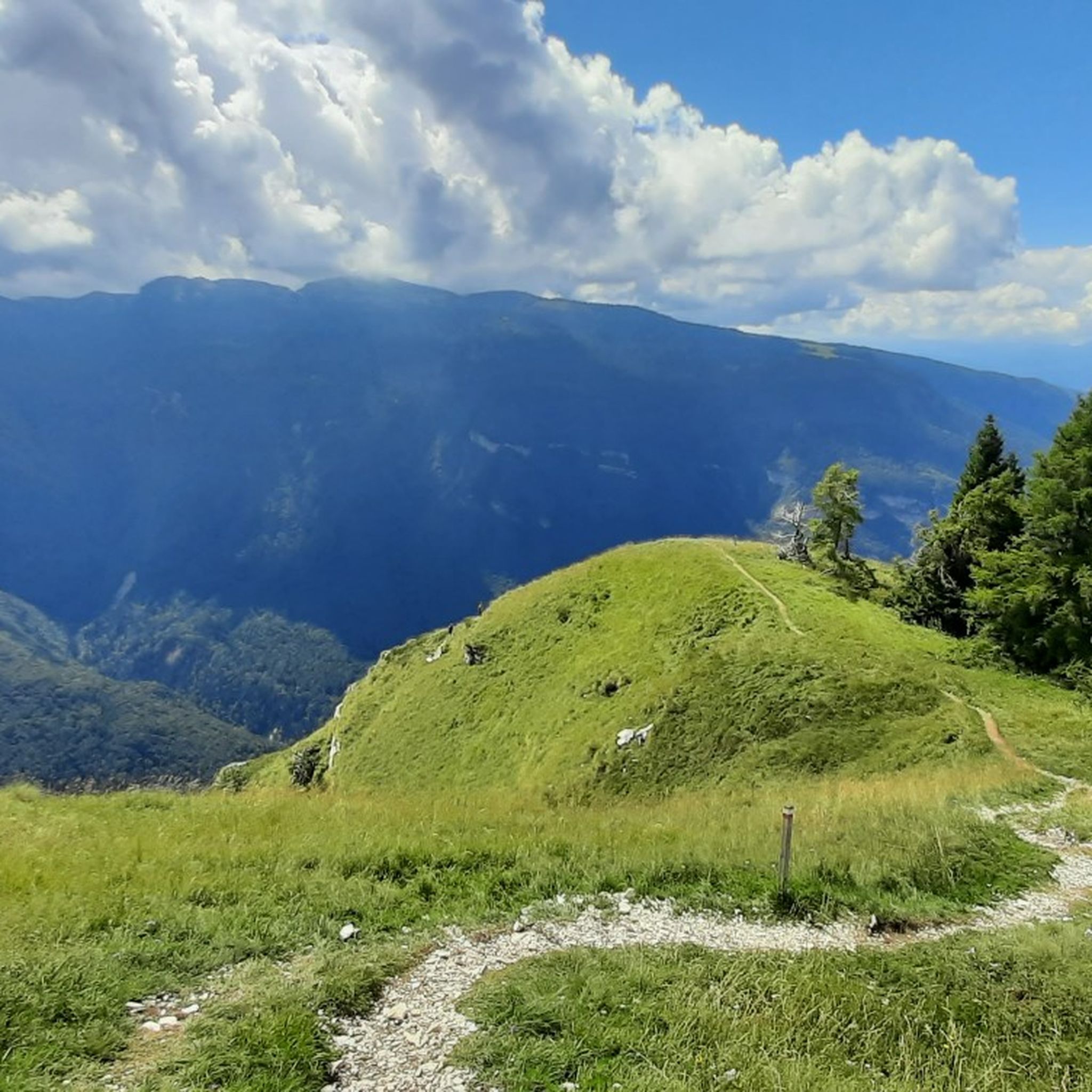
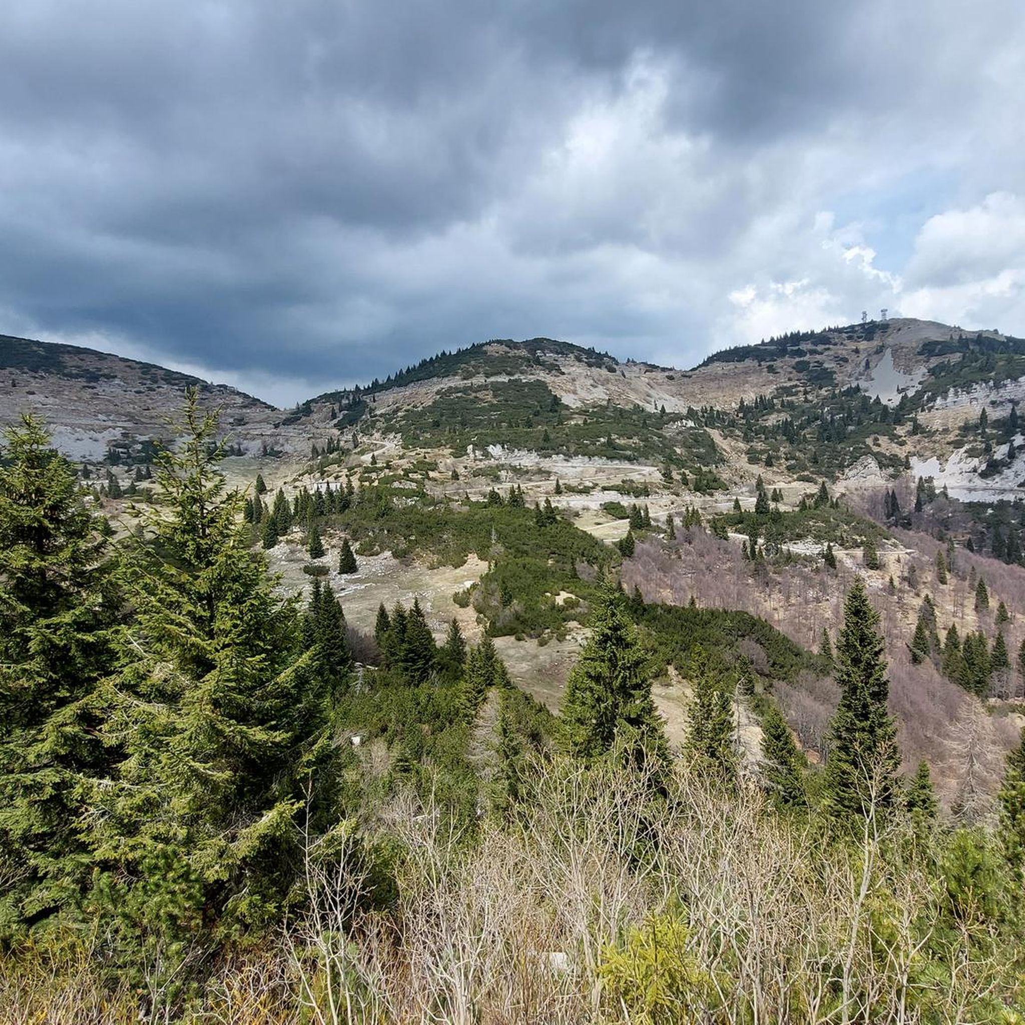
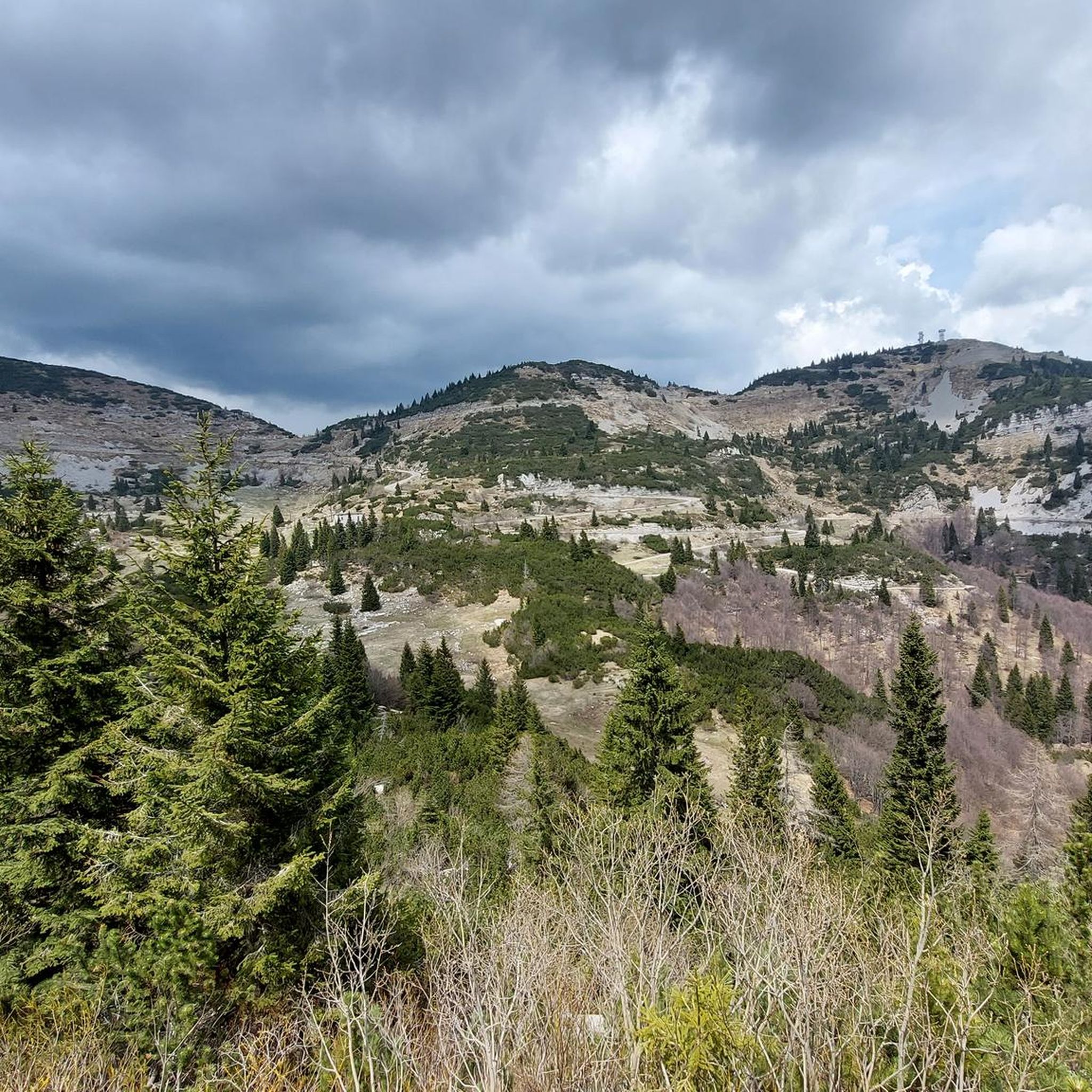
Other adventures around Arsiero

Tips from the Community

The provincial road to Trento offers beautiful panoramic views of Lake Caldonazzo, but it is advisable to use it only if strictly necessary, due to the heavy traffic.
0
0

Incredibly beautiful descent from Castelletto to Pedescala. Many switchbacks with impressive views into the valley.
0
0
If it were possible to have the number of people who stopped at this point to admire the fabulous panorama, it would surely be hundreds of thousands.
1
0
The second tunnel you encounter during the ascent
0
0
Every stretch of this road offers exceptional views of Lake Caldonazzo and the mountains of the Alps chain.
0
0
The Kaiserjegerstrasse tunnels dug by hand to build the military road for supplying the front line of the Great War. At the exit of the first tunnel going uphill, you can see the old road being restored for hiking and MTB.
0
0
The largest lake in Trentino, if you disregard the northern part of Lake Garda
0
0

The Tyrolean Kaiserjäger (TKJ) were a respected, light infantry troop of the Austrian Empire founded in 1816, specialized in mountain warfare. It consisted of four regiments, mainly recruited from Tyrol and Vorarlberg, and the 2nd regiment built a tunnel on this road in 1915.
0
1
Frequently Asked Questions
What kind of terrain can I expect when road cycling around Arsiero?
Arsiero offers a diverse mix of terrain, from challenging mountain passes like Passo Xomo with comfortable paved roads and excellent views, to scenic routes through valleys and alongside rivers. You'll encounter significant elevation changes, including climbs to alpine environments and descents into river valleys such as the Astico. Some historical routes might involve unpaved or technical sections, requiring good fitness.
Are there road cycling routes suitable for beginners or those looking for an easier ride?
Yes, while Arsiero is known for its challenging terrain, there are routes suitable for various skill levels. Out of over 80 routes, 13 are classified as easy. An example of a moderate route is the Santorso – Rocchette-Arsiero Rail Trail loop from Velo d'Astico, which offers a more gentle experience.
What are some notable landmarks or scenic viewpoints I can see while cycling in Arsiero?
The region is rich in scenic views and historical landmarks. You can enjoy breathtaking panoramas over the Alte Valli Vicentine, especially from higher elevations like Monte Toraro. Historical structures such as the General Achille Papa Refuge offer respite and stunning views. The Xomo Pass is another significant point of interest.
Are there any circular road cycling routes in the Arsiero area?
Yes, many routes around Arsiero are designed as loops. For instance, the Passo della Borcola and Forcella Valbona Loop is a popular circular route featuring significant climbs and expansive views. Another option is the Rotzo – Descent into the Astico Valley loop from Velo d'Astico, known for its enjoyable descent.
What is the best time of year to go road cycling in Arsiero?
The Italian Prealps, where Arsiero is located, generally offer pleasant cycling conditions from spring through autumn. Summer provides warmer temperatures, ideal for higher mountain passes, while spring and autumn offer milder weather and beautiful scenery with fewer crowds. Always check the local weather forecast before heading out, especially for routes involving significant elevation.
Can I find family-friendly road cycling routes around Arsiero?
While many routes involve significant climbs, there are options that cater to families. Look for routes with less elevation gain or those that utilize former rail trails, which often provide flatter, paved surfaces. The region offers easy loops, such as the Arsiero Military Memorial loop, which can be suitable for families.
Where can I park my car when starting a road cycling route in Arsiero?
Parking is generally available in and around Arsiero town. For specific trailheads, it's advisable to check the route details on komoot, as many routes start from villages or designated parking areas. Larger towns like Velo d'Astico, a common starting point for several routes, typically have public parking facilities.
Are there any cafes or pubs along the road cycling routes in Arsiero where I can stop for a break?
Yes, the region has various refuges and small towns where you can find places to rest and refuel. Historical structures like the General Achille Papa Refuge, built from former Italian barracks, offer a place for respite. Many villages along the routes will have local cafes or trattorias.
What do other road cyclists enjoy most about cycling in Arsiero?
The area is highly rated by the komoot community, with an average score of 4.5 stars from over 100 reviews. Cyclists often praise the diverse and challenging topography, the well-maintained and historic roads, and the immersive natural beauty of its valleys and mountains. The opportunity to cycle through historically significant areas also enriches the experience.
Are there any routes that feature historical tunnels or unique natural features?
Absolutely. The Lake Caldonazzo – Strada Menador tunnels loop from Velo d'Astico is a notable route that leads through historical tunnels and past Lake Caldonazzo, offering a unique blend of history and natural beauty. The region's World War I history is evident in routes that traverse areas like the Strada degli Scarubbi.
How many road cycling routes are available around Arsiero?
There are over 80 road cycling routes available around Arsiero, catering to a wide range of abilities and preferences. This includes 13 easy routes, 41 moderate routes, and 27 difficult routes, ensuring options for every cyclist.
Can I access road cycling routes in Arsiero using public transport?
While specific bike transport options on public buses like the E37 would require checking local schedules and regulations, Arsiero and surrounding towns are generally accessible by public transport. It's recommended to verify if bikes are permitted on buses or trains for your specific journey, as policies can vary.
Most popular routes around Arsiero
Most popular attractions around Arsiero

Get inspired with the komoot mobile app


Explore more
Browse the best Road cycling routes in other regions.
